Shybene village — Mount Pip Ivan, via Vesnarka polonyna, Lake Maricheika
Trail map
Where to stay nearby
About the trail
Route Shybene village – Vesnarka polonyna – Lake Maricheika – Mount Pip Ivan. Has green marking (local routes). Along the route you will see: Yavirnyk (Shybene), Polonyna Vesnarka, Zelenne, Lake Maricheyka, Mount Pip Ivan of Chornohora (Pip Ivan, Black Mountain).
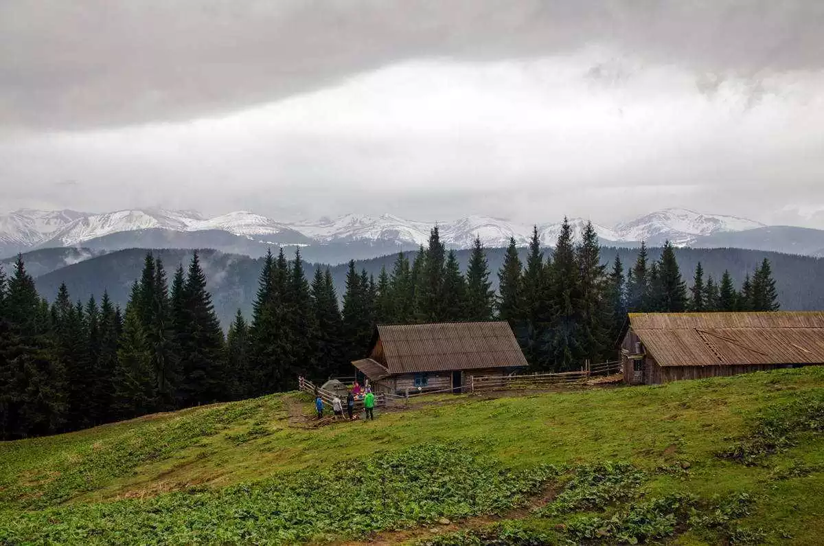
This route begins in the village of Shybene, specifically in the area of Pohorilets. You can reach it by walking from the center of the village to the outskirts, then ascending for 6 km, which takes about 2 hours through the Carpathian forest. At times, it may seem like the forest has no end, but eventually, the path leads to Polonyna Vesnarka. Here, several huts have been built where you can rest and regain your strength, and there is also a stable (a place where domestic animals winter). In winter, everything is closed by the shepherds who graze their flocks here during the summer season. If you are lucky enough to find the shepherds on site, you can not only rest and chat but also participate in the preparation of a Carpathian delicacy – brynza, and afterwards enjoy it deliciously.
Polonyna Vesnarka, route to Pip Ivan Chornohirskyi:
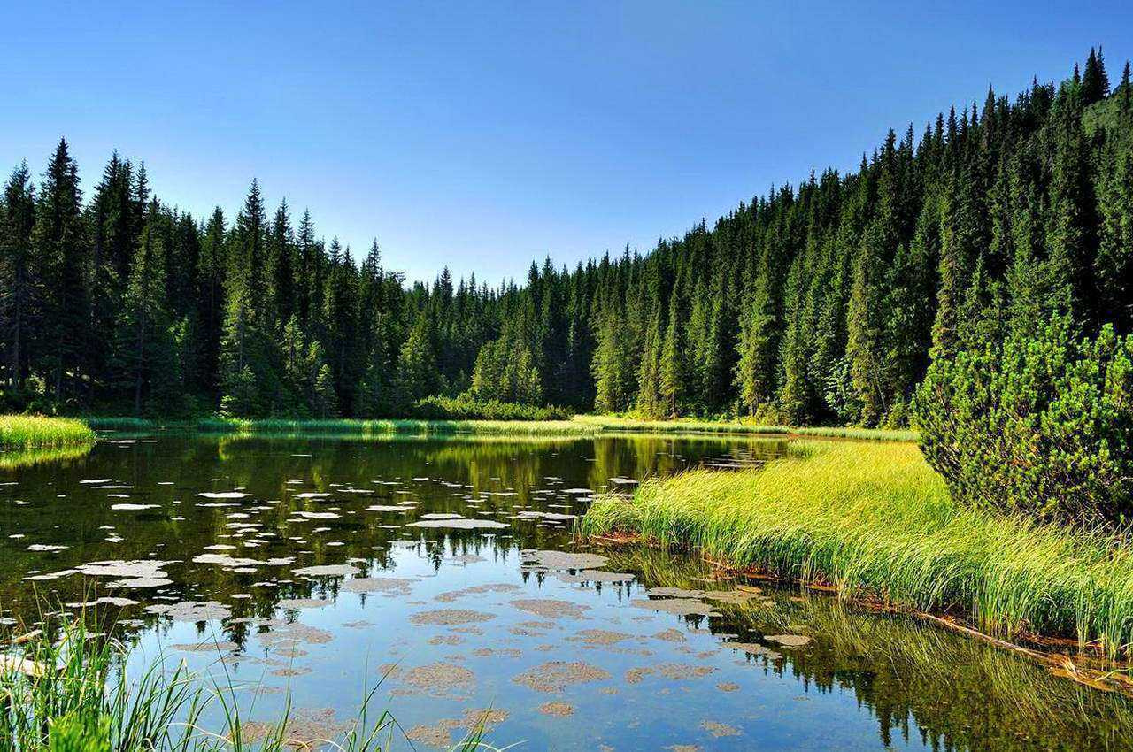
 It's time to move on to the next destination – Lake Maricheyka, which is located 3 km from Polonyna Vesnarka. Interestingly, the lake is situated in a glacial cirque, surrounded by forests on all sides. Legends tell of the lake's origin: a lovesick young man was so upset that he cried a whole lake of tears, and his beloved was named Marichka. The lovers enjoyed spending time together, and during one of their meetings, Marichka brought sad news – a horde was preparing to raid the village. Marichka asked the young man to go to the village and warn the people about this misfortune. She stayed in the forest to confuse the enemies' path. However, things did not go as planned: the girl was caught and tortured. The young man, in his grief, did not know where to turn, and his tears formed this lake. But there is another, less dramatic version of the story's ending. When the girl fled, the earth shook, and stones fell from the mountains onto the enemies. The legend says that at the place where all this happened, a chasm formed, and due to prolonged rains, the pit filled with water.
Route to Pip Ivan Chornohirskyi, Lake Maricheyka:
Interestingly, you can set up a camp for the night on the shore of the lake. Experienced travelers advise against drinking water from this lake; it's better to collect drinking water from several springs nearby. There are still 4.5 km to the summit. The path will lead through alpine and subalpine meadows to the slope of the Shuryn-Hropa peak, and then it will bring you to your destination – Mount Pip Ivan.
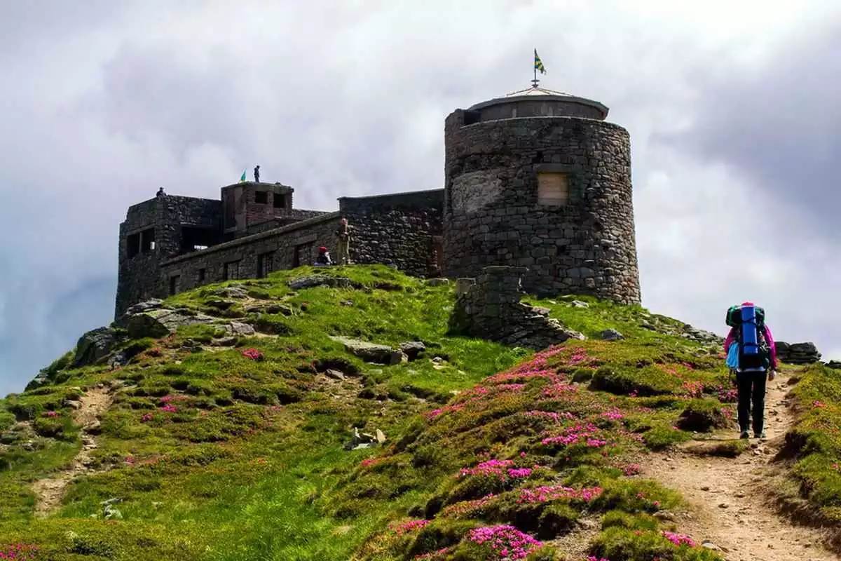
Have you ever dreamed of visiting the palace of Father Frost or Santa? Dreams come true, as at the summit there is a unique architectural monument – an observatory. The building, shrouded in legends and stories from the local residents, captivates the traveler's eye. The observatory was built by the Poles in 1938 in a very unexpected location. What a fairy tale hero's castle it is! It takes on an especially magical appearance in winter when covered with ice and snow (for this reason, the building is often called the "white elephant"). Sometimes the observatory is referred to as the "diadem" of the peak, crowned with tiny jewel-like snowflakes. However, to visit this place in winter, one must be extremely careful, as the mountains are very capricious and dangerous during this time of year.
View of Pip Ivan Chornohirskyi:
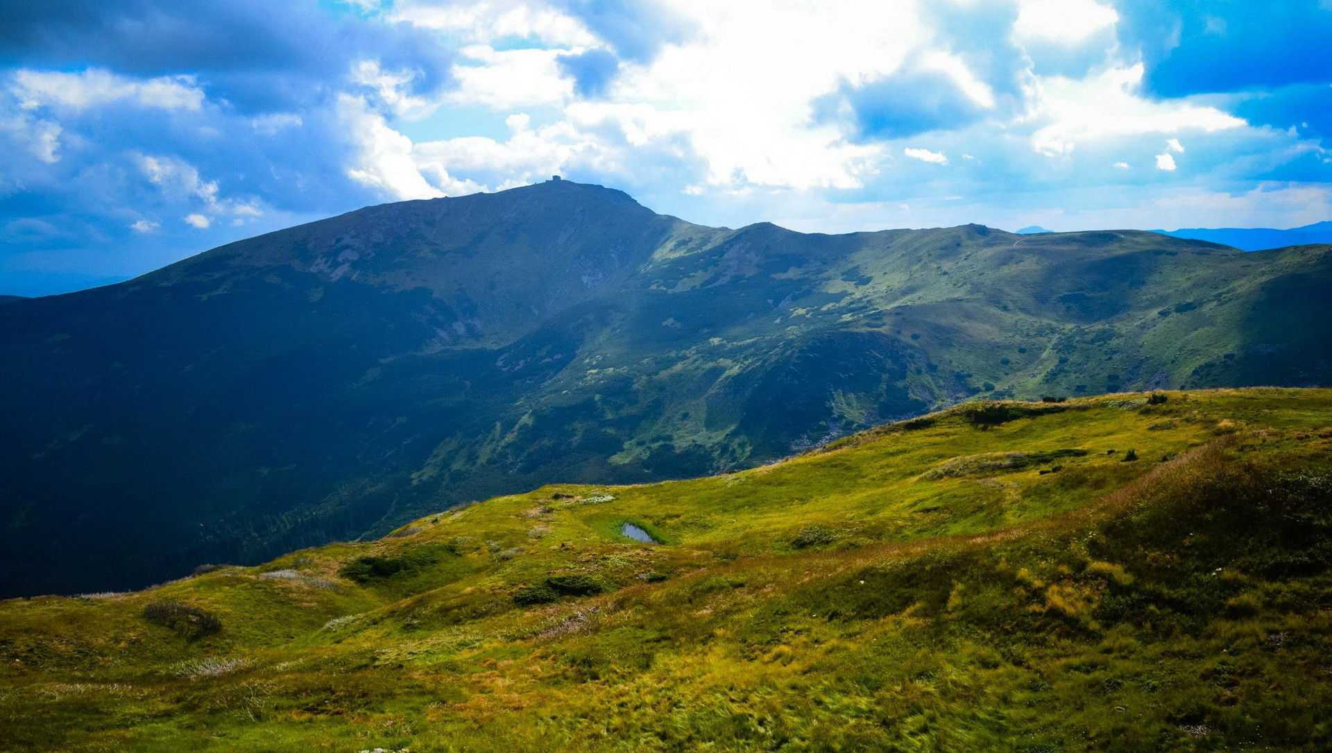
The summit itself is a special magical place, according to the locals. Molfars, healers, and herbalists come here every year on the day of the summer solstice to gather healing herbs. It is said that here you can see how the fern blooms...
To return to the starting point of the route, you need to follow the same path that led you to the summit. On the way back, you can spend the night in the already familiar huts and then descend to the village of Shybene. Safe travels and unforgettable impressions!
Mount Pip Ivan, Chornohora massif:
At a glance
A one-day route of 11 km with 1,565 m of ascent from Shybene village to Mount Pip Ivan. Estimated walking time: about 5.5 h, not counting stops. Difficulty: moderate. Waymarking: green.
Route stages
- 0–3 kmGentle ups and downs at 850–920 m
- 3–6 kmClimb of 560 m to Hut on Polonyna Vesnarka
- 6–8 kmAlong the ridge at 1,470–1,540 m
- 8–11 kmClimb of 490 m to Mount Pip Ivan of Chornohora (2,028 m)
Steepest kilometre: km 9–10, a climb of 240 m (≈24%).
Water and overnight stays
Springs near the trail: at km 6, 7 and 9.
Huts and shelters near the trail: Hut on Polonyna Vesnarka (4) (km 6), Hut “Maricheika” (km 7), Mountain shelter “White Elephant” (km 11).
When to go
Best time: June to September. In winter only for experienced hikers with proper gear: avalanche danger is possible. About 4 km of the route runs above 1,500 m, where the weather changes quickly — check the forecast.
Getting there
Start: Shybene village. This is a one-way route: the finish is 8 km from the start in a straight line, so plan your way back in advance.
FAQ
- How long does the route take?
- Estimated walking time: about 5.5 h, not counting stops.
- Is there water on the route?
- Springs near the trail: at km 6, 7 and 9.
- Where can I stay overnight?
- Huts and shelters near the trail: Hut on Polonyna Vesnarka (4) (km 6), Hut “Maricheika” (km 7), Mountain shelter “White Elephant” (km 11).
Water and shelter on the route
- Spring on Polonyna Vesnarka (2)km 5.8 from the start · Not verified · 1 427 m
- Hut on Polonyna Vesnarka (4)km 6 from the start · 60 m off the path · Standing · 1 459 m
- Hut “Maricheika”km 7.3 from the start · 90 m off the path · Standing · 1 533 m
- Spring below Mount Shuryn (6)km 7.3 from the start · 100 m off the path · Not verified · 1 530 m
- Spring below Mount Shuryn (5)km 7.8 from the start · Not verified · 1 515 m
- Spring below Mount Shurynkm 8.7 from the start · Not verified · 1 661 m
- Mountain shelter “White Elephant”km 11 from the start · 60 m off the path · Not verified · 2 003 m
Comments
What to see on the trail
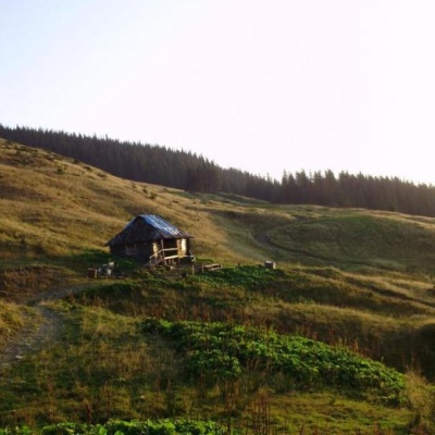 Yavirnyk (Shybene)altitude 915 mThe village of Shybene in Verkhovyna district is the most remote village in Prykarpattia. It is well known to tourists, as it is the last village...
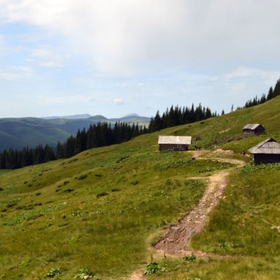 Polonyna Vesnarka, Zelennealtitude 785 m"Vesnarka is a meadow on the Chornohora ridge in the Ukrainian Carpathians. It is located on the road between the village of Zelene and the...
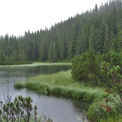 Lake Maricheykaaltitude 1 510 mLake Maricheyka is one of the most picturesque high-altitude glacial lakes in the Carpathians, located on the northeastern slope of Mount Shuryn,...
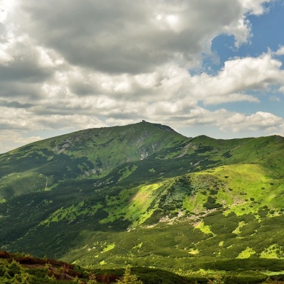 Mount Pip Ivan of Chornohora (Pip Ivan, Black Mountain)altitude 2 028 mPip Ivan Chornohirsky (also known as "Pip Ivan" and "Black Mountain") is the third highest mountain (2028 m) after Hoverla (2061 m) and Brebeneskul...
Trails nearby
All trails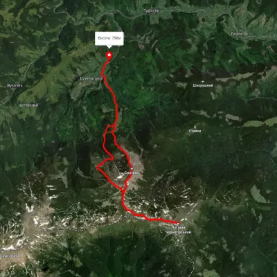 HardTwo-dayUnmarkedDzembronia village loopvia Mount Vukhatyi Kamin, Mount Pip Ivan Chornohirskyi +1Elevation profile822–2 048 m21.3 kmascent 1 556 m≈ 8.5 h walking
 ModerateTwo-dayUnmarkedShybene village loopvia Mount Pip Ivan ChornohirskyiElevation profile896–2 017 m15.8 kmascent 1 244 m≈ 6.5 h walking
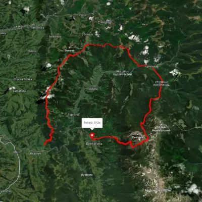 HardMulti-dayUnmarkedKrasnyk village to Dzembronia villagevia Mount Krynta, Mount Zmiinska +3Elevation profile741–1 799 m48.9 kmascent 2 606 m