Rupea Fortress: a Saxon refuge on a basalt crag
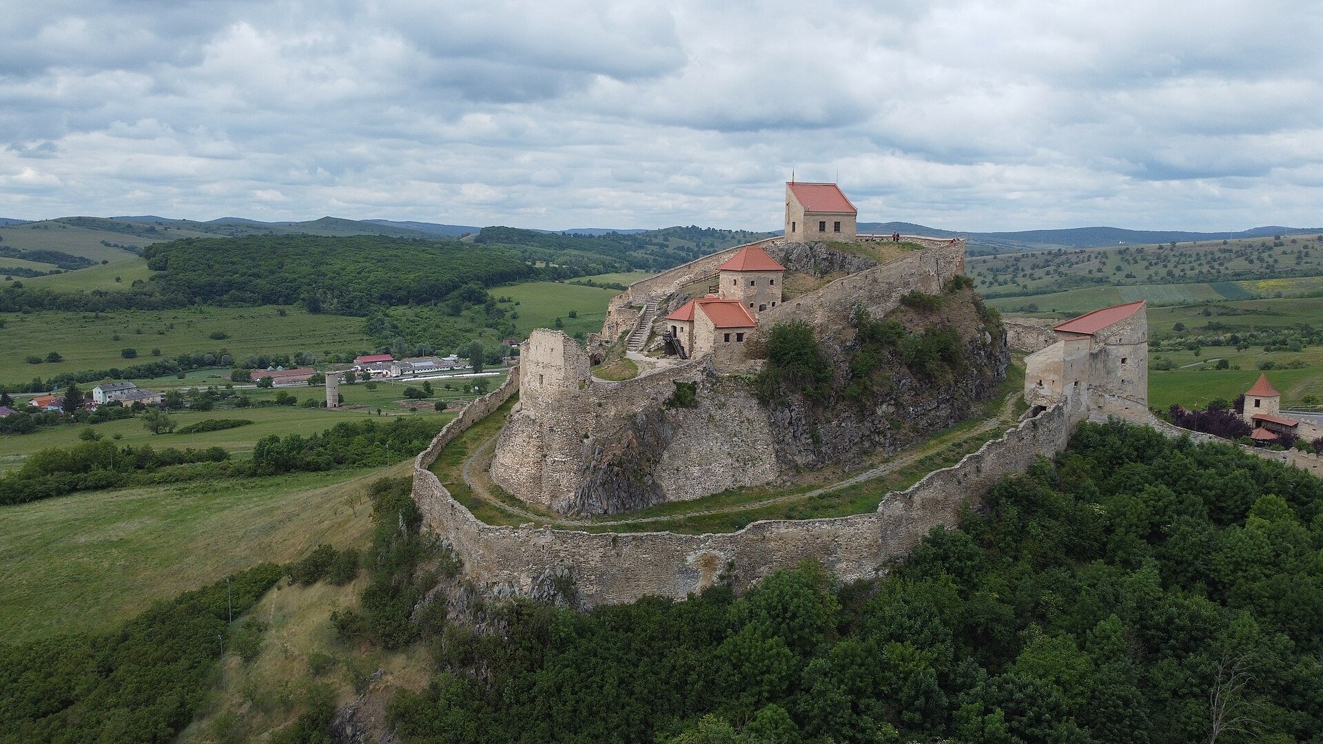
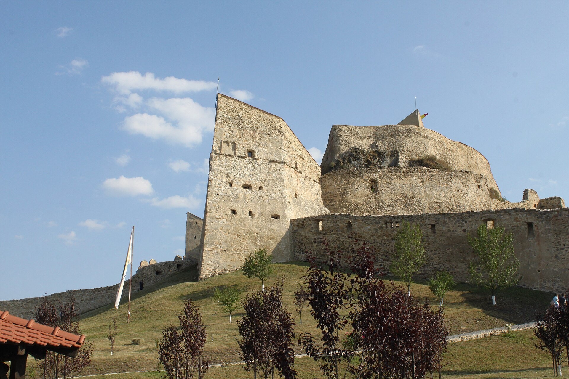
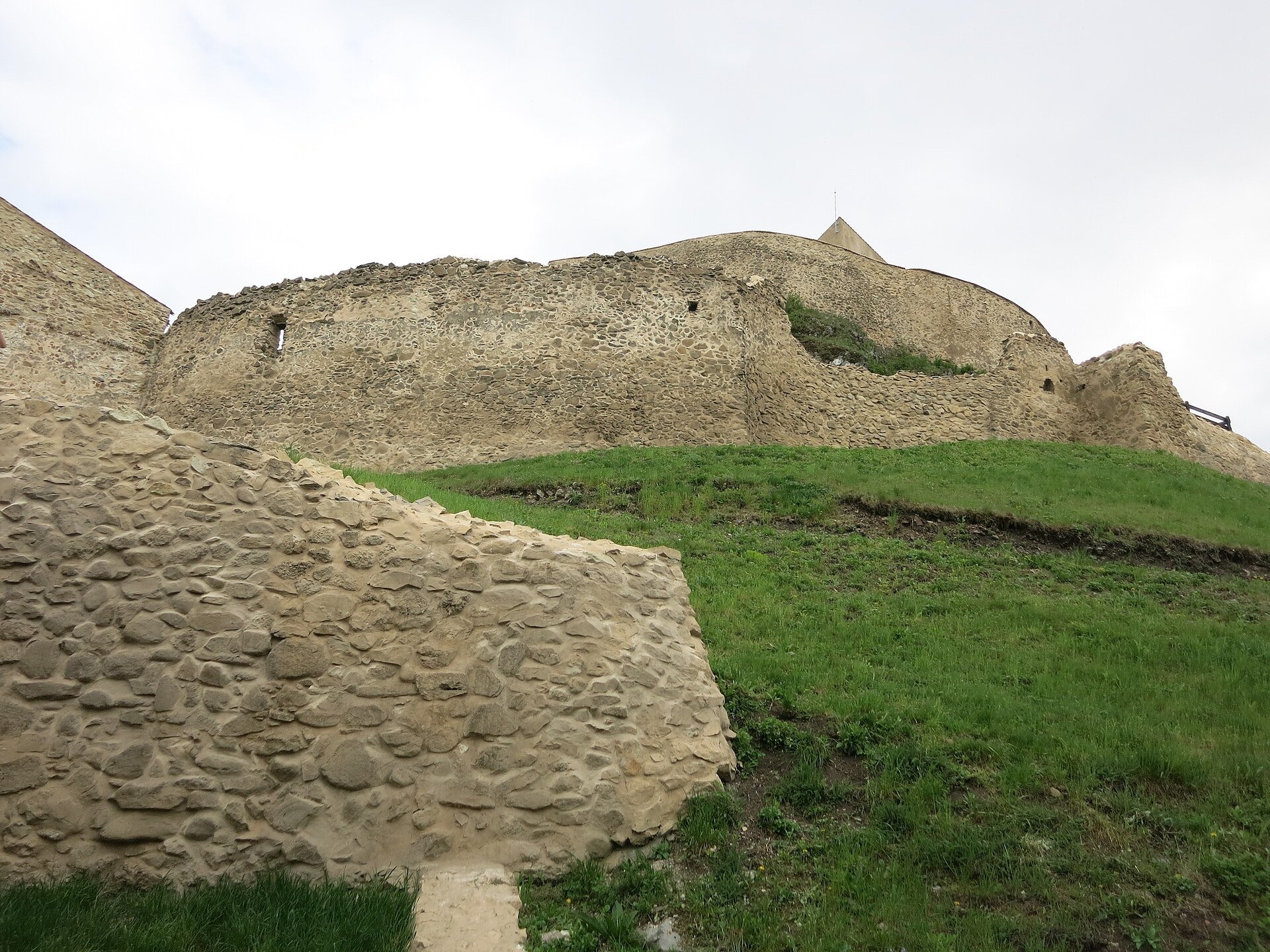
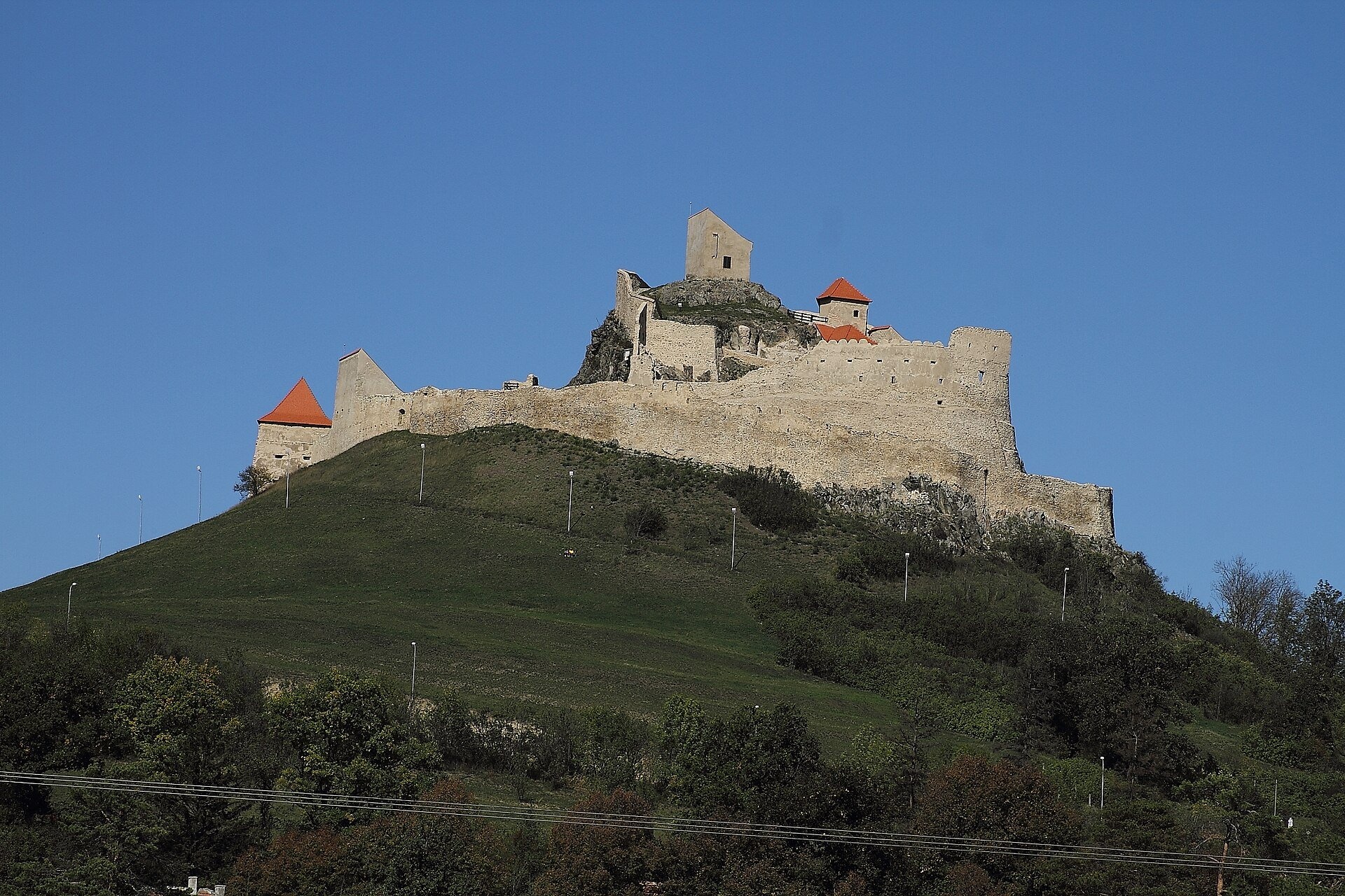
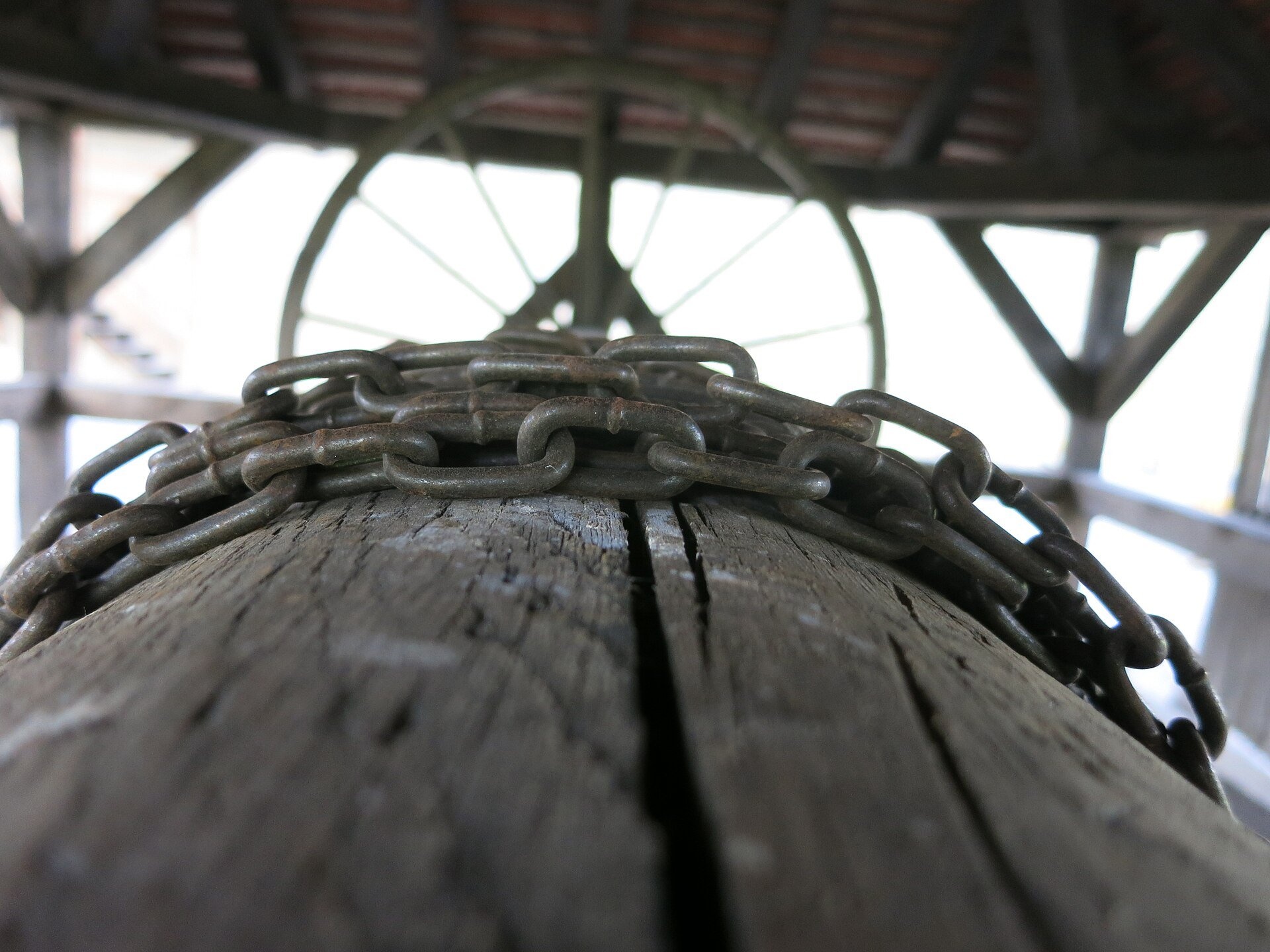
Rupea Fortress (Cetatea Rupea; German Burg Reps, Hungarian Kőhalmi vár) stands on a basalt hill about 120 metres high on the western edge of the small town of Rupea, on the DN13 road between Brașov and Sighișoara. Its pale walls, stepping down the slope in tiers, are visible from afar, and the upper courtyard offers a wide view over the hills of Transylvania.
From Rumidava to a Saxon refuge
The hill has been settled since ancient times. In the 2nd century the geographer Ptolemy mentions the Dacian settlement of Rumidava, which researchers link to this place; finds of Dacian pottery suggest that a Dacian stronghold probably stood here. The first written record of the fortress itself dates from 1324: as castrum Kuholm it appears in connection with the Saxon revolt against the Hungarian king Charles Robert of Anjou. The Hungarian name Kőhalom means «pile of stones», the Latin rupes «rock».
The fortress was a peasant refuge built and maintained by the Saxon community itself. In the 14th–16th centuries it was gradually extended to three tiers — the Upper, Middle and Lower fortress. During the Ottoman raids of the 15th century, notably in 1432 and 1438, people from the surrounding villages sheltered here with their belongings. Probably in the 17th century a well about 59 metres deep was cut into the basalt. An earthquake in 1643 damaged the walls, and a great fire in 1790 destroyed the wooden buildings inside, after which the inhabitants gradually moved to the town below. In 2010–2013 the fortress was restored with EU funding and reopened to visitors.
Why go
Rupea is one of the most picturesque fortresses in Transylvania and a handy stop on the road between Brașov and Sighișoara. It is a pleasure simply to wander between the walls of the different tiers, climb to the tower on the summit and look out over the valley. The fortress is open every day all year, and in summer until late in the evening, when the basalt and walls look especially fine in the sunset light.
What to see
- The Upper fortress — the oldest core on the hilltop, with a tower and the best view.
- The Middle and Lower fortresses with walls that follow the shape of the rock, towers, bastions and storerooms for provisions.
- The well, about 59 metres deep and cut into basalt; legend says two Turkish prisoners dug it in exchange for their freedom (this is not documented).
- Museum rooms created during the restoration.
- Restored paths between the tiers and the panorama of the valley.
Practical information
The fortress stands above the town of Rupea on Strada Cetății; it is about 70 km from Brașov along the DN13 and about 50 km from Sighișoara. There is parking at the foot of the hill, then a walk up. From Ukraine the nearest route is via the Porubne — Siret crossing (about 400 km). The fortress is open daily: November to March 9:00–17:00, April to August 9:00–20:00, September and October 9:00–19:00. An adult ticket costs 15 lei and a ticket for under-18s 8 lei (as of November 2026; all prices in the «At a glance» box); tickets are also sold online.
Paths and steps between the tiers are steep and rocky and can be slippery in winter, so wear good shoes; the route is difficult for wheelchairs. Allow 1–1.5 hours. The town of Rupea itself has a small ethnographic museum.
Nearby
- Viscri fortified church (UNESCO) — about 25 km.
- Saschiz fortified church (UNESCO) on the way to Sighișoara.
- The historic centre of Sighișoara (UNESCO).
- Hărman fortified church near Brașov.
Official website: cetatearupea.ro
Photos: Imedias, CC BY-SA 4.0, Wikimedia Commons; Anca M. Vasilache, CC BY-SA 4.0, Wikimedia Commons; Munteanu Anca, CC BY-SA 4.0, Wikimedia Commons; SzKarcsi, CC BY-SA 3.0 ro, Wikimedia Commons; Strainu, CC BY-SA 4.0, Wikimedia Commons; Neighbor's goat, CC BY-SA 3.0 ro, Wikimedia Commons.
Getting there from Ukraine
Border crossings
- Porubne – Siret — road and pedestrian, 24/7
- Diakivtsi – Racovăț — road and pedestrian, 24/7 No freight traffic.
- Krasnoilsk – Vicovu de Sus — road and pedestrian, 08:00–20:00 Cars up to 3.5 t and pedestrians only; not 24/7.
- Solotvyno – Sighetu Marmației — road and pedestrian, 24/7 Passenger traffic only: vehicles up to 3.5 t with up to 9 seats, pedestrians.
- Diakove – Halmeu — road, 24/7 No pedestrian crossing.
By car
Chernivtsi – Brașov ≈395 km, ≈7 h 03 min (via Diakivtsi – Racovăț); Rakhiv – Brașov ≈419 km, ≈7 h 24 min (via Solotvyno – Sighetu Marmației); Uzhhorod – Brașov ≈522 km, ≈8 h 39 min (via Diakove – Halmeu). Times without border queues, our road routing (GraphHopper, OSM).
Checked 03.11.2026; border crossing hours and timetables change — check before you travel.
Comments
Travellers’ experience: reports, tips, questions.
No one has written here yet. Be the first — your experience helps others.
Video 2
 Cetatea Rupea, jud. Brașov, RomâniaCireșarii Travel

Location on the map
Nearby attractions
 ChurchViscri Fortified Church: a UNESCO Saxon villageViscri9.7 km from Rupea Fortress: a Saxon refuge on a basalt cragThe fortified Evangelical church in the village of Viscri (German Deutsch-Weißkirch, Hungarian Szászfehéregyháza) is perhaps the most photogenic of the Saxon...
 ChurchDârjiu Fortified Church: the «Bacon Fortress», UNESCODârjiu18 km from Rupea Fortress: a Saxon refuge on a basalt cragThe fortified church in the village of Dârjiu (Hungarian Székelyderzs) in Harghita County is one of the few fortress churches of Transylvania built not by the Saxons...
 ChurchSaschiz Fortified Church: clock tower and UNESCO siteSaschiz26 km from Rupea Fortress: a Saxon refuge on a basalt cragThe fortified Evangelical Church of St Stephen in the village of Saschiz (German Keisd, Hungarian Szászkézd) stands right by the road between Brașov and Sighișoara, so...
Craft nearby
All craft places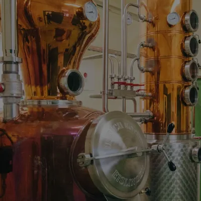 Wine & tastingsPálinka Jamy distillery: fruit pálinka in Odorheiu SecuiescOdorheiu Secuiesc29 km from Rupea Fortress: a Saxon refuge on a basalt cragOdorheiu Secuiesc (Hungarian: Székelyudvarhely) is a historic town in the Târnava Mare valley in the west of Harghita County, long regarded by the Székelys as their ...
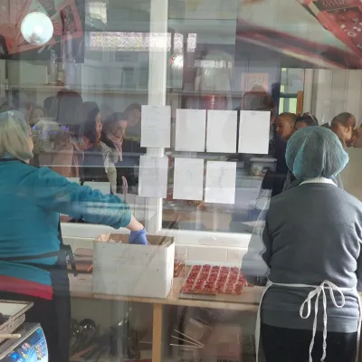 Craft producersGALFFIS chocolate manufactory in Odorheiu SecuiescOdorheiu Secuiesc32 km from Rupea Fortress: a Saxon refuge on a basalt cragBean-to-bar chocolate in the heart of Székely Land Odorheiu Secuiesc (Hungarian: Székelyudvarhely) is known above all for its history, schools and Székely traditions,...
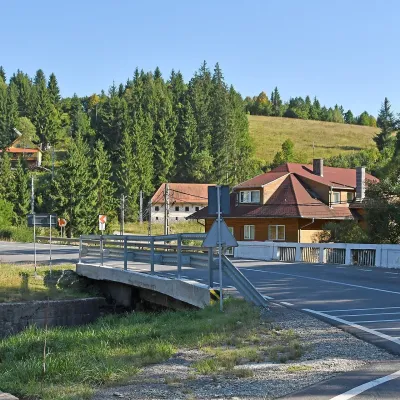 Water parks & thermal poolsBăile Homorod: the Lobogó and Mária iron springs in the Harghita MountainsBăile Homorod40 km from Rupea Fortress: a Saxon refuge on a basalt cragBăile Homorod (Hungarian Homoródfürdő) is a small spa village in Harghita County, administratively part of the town of Vlăhița.
