Podhradie – Zvyšky Sučianskeho hradu
Trail map
Route, springs and shelters: © OpenStreetMap contributors (ODbL) · elevation: Copernicus DEM © DLR e.V., © Airbus DS · Data & licences
About the trail
Route Podhradie – Zvyšky Sučianskeho hradu. Has green marking (regional route №5649, KST). Waymarking data: OpenStreetMap (© OpenStreetMap contributors, ODbL).
Officially marked regional tourist route No. 5649. The marking is green, the sign is a horizontal stripe on a white background. Marked and maintained by: KST. Length of the route — 3.4 km. Location: mountain range — Velka Fatra, Slovakia.
Attention: part of the route has not yet been mapped in OpenStreetMap, so the line on the map has gaps. On the ground, orient yourself by the marking signs.
At a glance
A short route of 3.4 km with 410 m of ascent from Podhradie to Zvyšky Sučianskeho hradu. Estimated walking time: about 1.5 h, not counting stops. Difficulty: easy. Waymarking: green.
Route stages
- 0–3 kmClimb of 380 m to Smrekové (890 m)
- 3–3.5 kmDescent of 120 m to Zvyšky Sučianskeho hradu
Steepest kilometre: km 1–1.5, a climb of 150 m (≈17%).
Water and overnight stays
Springs near the trail: at km 0.5 and 3.5.
When to go
The route can be walked most of the year; it is most comfortable from April to October.
Getting there
Start: Podhradie. This is a one-way route: the finish is 2 km from the start in a straight line, so plan your way back in advance.
FAQ
- How long does the route take?
- Estimated walking time: about 1.5 h, not counting stops.
- Is there water on the route?
- Springs near the trail: at km 0.5 and 3.5.
Water and shelter on the route
- Spring below Vrchdielkm 0.7 from the start · Not verified · 521 m
- Vápenicakm 3.7 from the start · Not verified · 730 m
Comments
Trails nearby
All trails
Craft nearby
All craft places Cheese dairies & pasturesSalaš Krajinka near RužomberokRužomberok13 km from the trailSalaš Krajinka is a genuine sheep farm on the edge of Ružomberok in lower Liptov. It was founded in 1983 to keep a thousand sheep, and the owners have deliberately...
 Craft beer & breweriesURSUS craft brewery, Čutkovská valleyRužomberok14 km from the trailURSUS craft brewery (Remeselný pivovar URSUS) is the first brewery of the town of Ružomberok, tucked away in the picturesque Čutkovská valley in lower Liptov.
 Cheese dairies & pasturesSalaš Syrex in Zázrivá — Home of the Zázrivá Korbáčik CheeseZázrivá20 km from the trailZázrivá is a scattered mountain village on the border of Orava and the Malá Fatra, famous throughout Slovakia for its korbáčiky: thin strings of steamed cheese braided...
 Water parks & thermal poolsLúčky Spa and AQUA-VITAL ParkLúčky25 km from the trailLúčky Spa (Kúpele Lúčky) lies in a quiet valley beneath the Choč Mountains, in the village of Lúčky near Ružomberok.
 Water parks & thermal poolsSpa Aphrodite thermal pools, Rajecké TepliceRajecké Teplice28 km from the trailHot mineral water rises here, and it feeds the Spa Aphrodite resort, whose thermal pools, saunas and Natural Spa zone are open not only to patients but to anyone with...
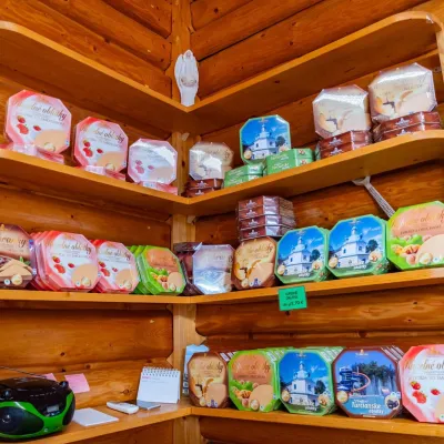 Cheese dairies & pasturesTuriec bryndza dairy, Turčianske Teplice: bryndza since 1917Turčianske Teplice28 km from the trailMore than a hundred years of Turiec bryndza Turiec is a wide basin between the ridges of the Veľká and Malá Fatra, a land of pastures and old sheep farming.
