Pleșa Peak
Pleșa Peak (rom. Vârful Pleșa) is a 1,840 m summit on the southern limestone Piule–Pleșa ridge in the Retezat Mountains, Hunedoara County. It marks the southeastern end of the ridge: 2.7 km west stands Piule, while the main Retezat peaks — Custura, Peleaga, and Păpușa (Retezat) — lie 6–9 km to the north. The nearest settlements are Câmpu lui Neag (about 7.4 km as the crow flies) and Valea de Brazi (about 11.2 km). Below the summit, about 760 m away, Spring below Pleșa (south-east slope) is marked on the site.
Getting there / routes
Pleșa is crossed by the yellow stripe trail "Buta hut — Piule Peak — Pleșa Peak — DN66A". According to muntii-nostri.ro, from Buta hut, together with the red dot, the trail crosses a stream, skirts the Buta sheepfold fence on the right, climbs a grassy spur into the forest, and traverses gently to a large meadow with a signpost. At the edge of the meadow is the Buta-Mică stream (water can be collected here). At the base of the Gurganul cliff, the forest gives way to dwarf pine and alder; an old sign offers two options: right, up scree to the Scorota (Iepei) saddle and then over several minor summits to Piule — the highest point of the route — or straight up a steep gully to Piule (not recommended in winter or for descent).
From Piule, the Piule–Pleșa ridge route heads southeast: the first summit is bypassed on the left under the large limestone cliff of Piatra-Albe, then a narrow limestone crest (custura) covered in dwarf pine leads to a summit resembling a long, 100-meter back. After a steep descent, there is another custura with lush vegetation, which looks intimidating but is easily crossed: first along the top, then right on grassy ledges. The ridge then softens, with broad meadows, though markings become sparse. The last summit of the ridge is Pleșa, marked by a large stone cairn. Beyond, the ridge drops steeply; the path descends through meadows to an abandoned sheepfold, turns right into the forest, and after about 350 m reaches a clearing with a developed spring, then continues through spruce and later deciduous forest to the Dilma-Mare hermitage. The entire route is 12.4 km, about 6 hours, with 683 m ascent, and of moderate difficulty.
Another option (muntii-nostri.ro) starts from the DN66A road, goes through the Scorota gorge, climbs easily to the Scorota sheepfold, and reaches the Piule–Pleșa ridge (12.5 km, about 9 hours, moderate–difficult). The ends are about 7 km apart, so the authors recommend two cars — one near the Butii gorge and one at the start in the Scorota gorge.
The view from the top
According to muntii-nostri.ro, Pleșa offers a wide panorama of the Western Jiul valley, and from the ridge there are views of the Retezat Mountains, the Câmpu lui Neag basin, and Oslea mountain.
Safety, season and rules
The ridge's limestone crests (custuri) are narrow and overgrown with dwarf pine, and markings are sparse in places — do not go in fog or rain. The ridge lies in the Retezat massif; if your route enters Retezat National Park, a ticket is required — 10 lei for 7 days (park rules, as of the last check). Bears are common in the Romanian Carpathians: stay on marked trails, make noise, avoid dusk, and do not keep food in your tent; near sheepfolds, shepherd dogs may attack — do not run, stop and shield yourself with your backpack (advice from Salvamont România).
In case of emergency, call the national mountain rescue dispatcher 0SALVAMONT — 0725 826 668 or 112.
Getting there from Ukraine
Border crossings
- Porubne – Siret — road and pedestrian, 24/7
- Diakivtsi – Racovăț — road and pedestrian, 24/7 No freight traffic.
- Krasnoilsk – Vicovu de Sus — road and pedestrian, 08:00–20:00 Cars up to 3.5 t and pedestrians only; not 24/7.
- Solotvyno – Sighetu Marmației — road and pedestrian, 24/7 Passenger traffic only: vehicles up to 3.5 t with up to 9 seats, pedestrians.
- Diakove – Halmeu — road, 24/7 No pedestrian crossing.
By car
Rakhiv – Petroșani ≈450 km, ≈6 h 36 min (via Solotvyno – Sighetu Marmației); Ivano-Frankivsk – Petroșani ≈584 km, ≈8 h 55 min (via Solotvyno – Sighetu Marmației); Chernivtsi – Petroșani ≈539 km, ≈9 h 19 min (via Krasnoilsk – Vicovu de Sus). Times without border queues, our road routing (GraphHopper, OSM).
Checked 03.11.2026; border crossing hours and timetables change — check before you travel.
Comments
Travellers’ experience: reports, tips, questions.
No one has reported on this trail yet. Been here lately? Tell others what it is like now.
Water and shelter nearby
- Spring below Pleșa (south-east slope)760 m · Not verified · 1 509 m
- Spring below Pleșa (east slope), 992 m1.9 km · Not verified · 992 m
Trails nearby
All trails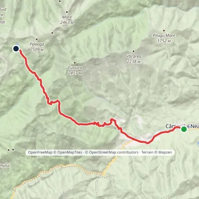 HardOne-dayMarkedCâmpu lui Neag Lake Bucuravia Buta HutElevation profile798–2 052 m20.5 kmascent 1 579 m≈ 8 h walking1.5 km from Pleșa Peak
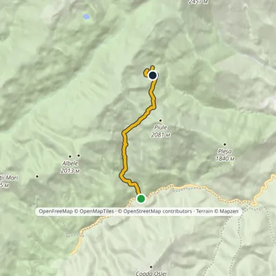 ModerateOne-dayMarkedDN66A road Buta Hutvia Scorota ValleyElevation profile1 112–1 934 m7.6 kmascent 850 m≈ 3.5 h walking3.1 km from Pleșa Peak
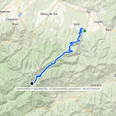 Hard1–2 daysMarkedHobița Poiana PelegiiElevation profile533–2 256 m34 kmascent 2 008 m≈ 12 h walking6.3 km from Pleșa Peak
Nearby attractions
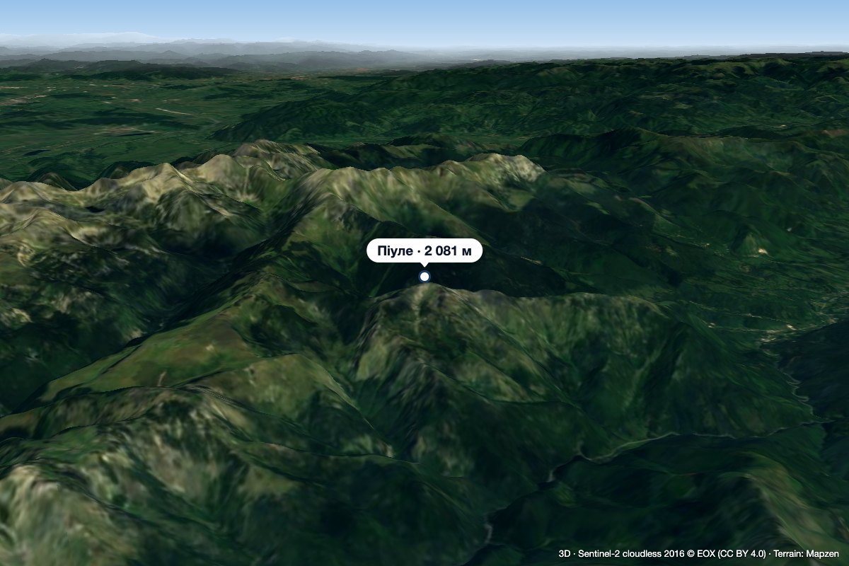 PeakPiuleCâmpu lui Neagaltitude 2 081 m2.7 km from Pleșa PeakPiule (Romanian Vârful Piule) is the highest summit of the Piule-Iorgovanu Mountains, at 2,081 m. In hiking literature the massif is usually called Retezatul Mic, the ...
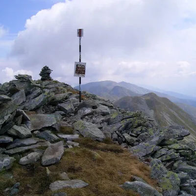 PeakCusturaaltitude 2 457 m6.3 km from Pleșa PeakCustura (Romanian Vârful Custura) is a 2,457 m summit in the Retezat Mountains of the Southern Carpathians – according to Romanian Wikipedia, the fifth-highest in the...
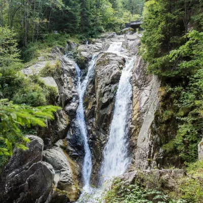 WaterfallLolaia Waterfall (Cascada Lolaia)Nucșoara · Retezat Mountains15 km from Pleșa Peakheight 15 m1 085 m above sea levelLolaia Waterfall (Cascada Lolaia) lies in the northern part of Retezat National Park, in Hunedoara County, on one of the park's busiest routes — the road from the...
