Gemănarea
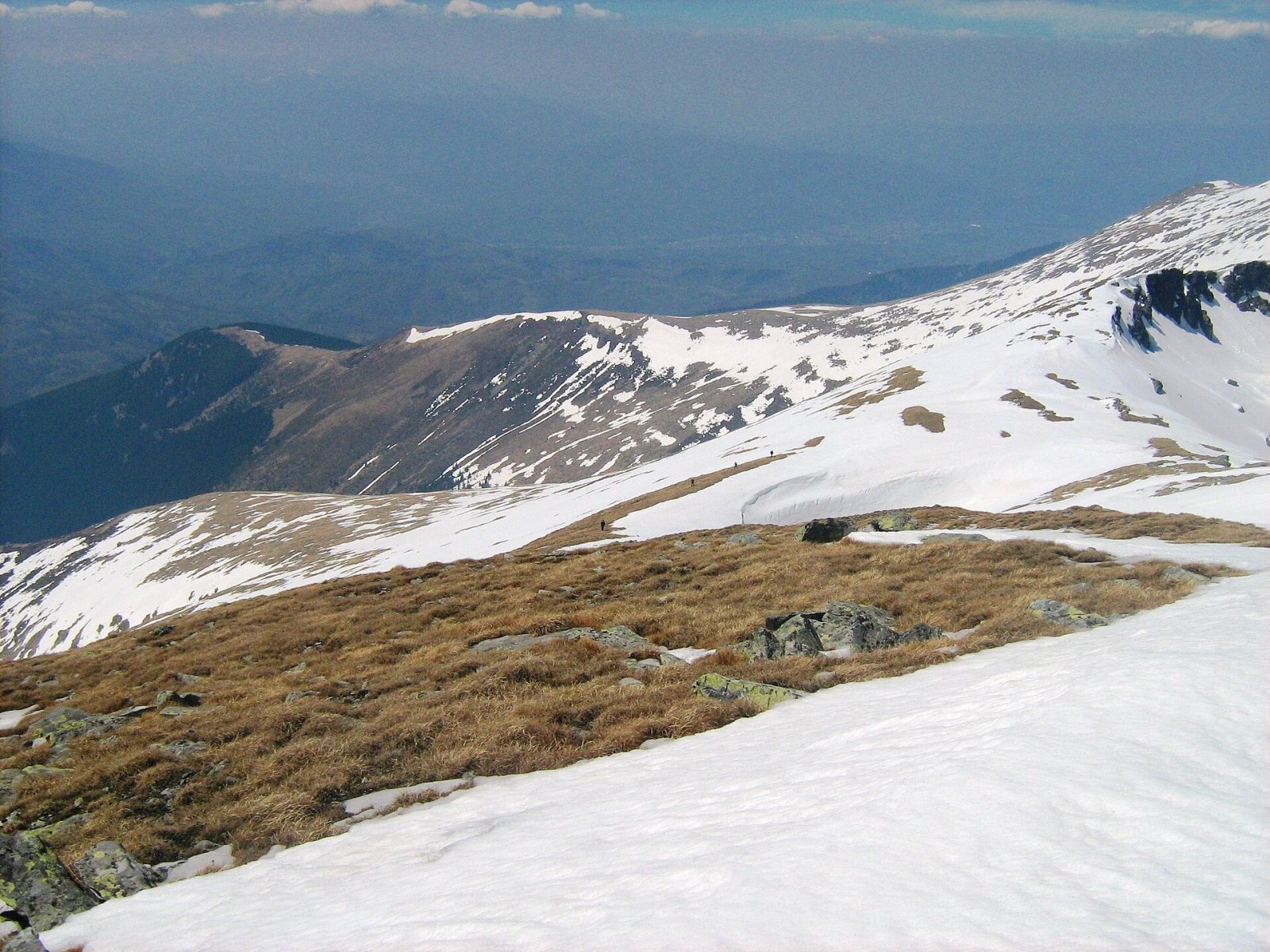
Gemănarea (Rom. Vârful Gemănarea) is a peak on the main ridge of the Parâng Mountains in the Southern Carpathians, Hunedoara County. Sources differ on its height: OpenStreetMap gives 2,437 m, Romanian Wikipedia 2,426 m; the Copernicus digital elevation model shows about 2,434 m at the summit, so we list 2,437 m. Gemănarea stands between two famous neighbors: the massif’s highest peak Parângul Mare is just 1.2 km to the south, and Cârja is 1.7 km to the northwest.
According to Romanian Wikipedia, the summit is reached via the ridge trail—either from Stoienita peak to the north or from Parângul Mare to the south. The nearest settlement is the village of Jieț (about 11.8 km in a straight line); the main base for hikes is the Parâng ski resort above Petroșani.
Getting there / routes
The main ridge route of the massif, marked with a red stripe, passes over the summit: “Petroșani — Parângul Mare peak — Curmătura Oltețului saddle.” According to muntii-nostri.ro, from the Parâng resort, the trail first climbs moderately to Parângul Mic peak (about 1,897 m), where the views widen. The trail then follows the ridge to Cârja (2,405 m)—the ascent becomes steeper, but from the summit you get a panorama of the surrounding valleys and can see the direction to Gemănarea. After the Cârja saddle, the marked trail leads to Gemănarea, and from there to Parângul Mare. The entire route is 23.2 km, about 8 hours of walking, with 1,180 m of ascent; difficulty is moderate. The description warns that rocky sections occur before Gemănarea, so follow the markings carefully, and the stretch from Gemănarea to Parângul Mare can be exhausting. At the summit of Parângul Mare stands a concrete geodetic marker—the highest point of the route; from there you can see the surrounding ridges and glacial lakes. The route, according to the same description, is suitable for a day hike and accessible year-round, but in winter its difficulty depends on snow conditions. Along the way, there are views of the Tăia gorge and Cârja peak.
Near Parângul Mare, about 1.1 km from Gemănarea, is Hut below Parângul Mare; lower on the slope is Agățat Hut. The nearest springs marked on the site are Spring below Slivei (east slope), 1 908 m and Spring below Slivei (east slope), 1 901 m (both about 1.3 km from the summit, below the ridge).
Safety, season and rules
The Parâng ridge is high and exposed: there is nowhere to hide from storms or strong winds, so start early, check the forecast, and allow extra time to descend from the ridge. According to muntii-nostri.ro, there are no springs on the route—bring enough water and food, carry a map, compass or GPS, and inform someone of your route. In winter, the route is only for experienced, well-equipped hikers: avalanches are possible on steep slopes above the treeline, and snow can cover the markings. Bears are common in the Romanian Carpathians: do not leave marked trails, make noise, avoid hiking at dusk, and do not keep food in your tent; near sheepfolds, shepherd dogs may attack—do not run, stop and shield yourself with your backpack (advice from Salvamont România).
In case of emergency, call the national mountain rescue dispatcher 0SALVAMONT — 0725 826 668 or 112.
Photos: Cioboata Andrei, CC BY 3.0 — Wikimedia Commons.
Getting there from Ukraine
Border crossings
- Porubne – Siret — road and pedestrian, 24/7
- Diakivtsi – Racovăț — road and pedestrian, 24/7 No freight traffic.
- Krasnoilsk – Vicovu de Sus — road and pedestrian, 08:00–20:00 Cars up to 3.5 t and pedestrians only; not 24/7.
- Solotvyno – Sighetu Marmației — road and pedestrian, 24/7 Passenger traffic only: vehicles up to 3.5 t with up to 9 seats, pedestrians.
- Diakove – Halmeu — road, 24/7 No pedestrian crossing.
By car
Rakhiv – Petroșani ≈450 km, ≈6 h 36 min (via Solotvyno – Sighetu Marmației); Ivano-Frankivsk – Petroșani ≈584 km, ≈8 h 55 min (via Solotvyno – Sighetu Marmației); Chernivtsi – Petroșani ≈539 km, ≈9 h 19 min (via Krasnoilsk – Vicovu de Sus). Times without border queues, our road routing (GraphHopper, OSM).
Checked 03.11.2026; border crossing hours and timetables change — check before you travel.
Comments
Travellers’ experience: reports, tips, questions.
No one has reported on this trail yet. Been here lately? Tell others what it is like now.
Location on the map
Water and shelter nearby
- Hut below Parângul Mare1.1 km · Not verified · 2 466 m
- Spring below Slivei (east slope), 1 908 m1.3 km · Not verified · 1 908 m
- Spring below Slivei (east slope), 1 901 m1.4 km · Not verified · 1 901 m
- Agățat Hut2.4 km · Not verified · 1 682 m
- Spring below Slivei (north-east slope)2.4 km · Not verified · 1 678 m
- Spring below Parângul Mare2.9 km · Not verified · 1 938 m
- Spring below Scurtu (east slope)3 km · Not verified · 1 954 m
Nearby attractions
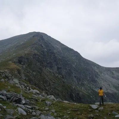 PeakParângul Marealtitude 2 519 m1.2 km from GemănareaParângul Mare (Romanian: Vârful Parângul Mare, «Great Parâng»; also Parângu Mare) is the highest summit of the Parâng Mountains in the Southern Carpathians, 2,519 m...
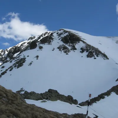 PeakCârjaaltitude 2 405 m1.7 km from GemănareaCârja (Romanian Vârful Cârja) is a 2,405 m summit in the Parâng Mountains of the Southern Carpathians in Romania.
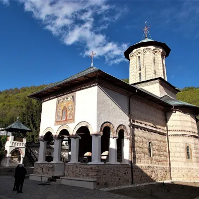 ChurchPolovragi Monastery: a convent by the Oltețu gorgePolovragi27 km from GemănareaPolovragi Monastery (Mănăstirea Polovragi) stands on the edge of the village of Polovragi in Gorj County, at the foot of the rocky Piatra Polovragilor massif and the...