Evantai Waterfall (Cascada Evantai)
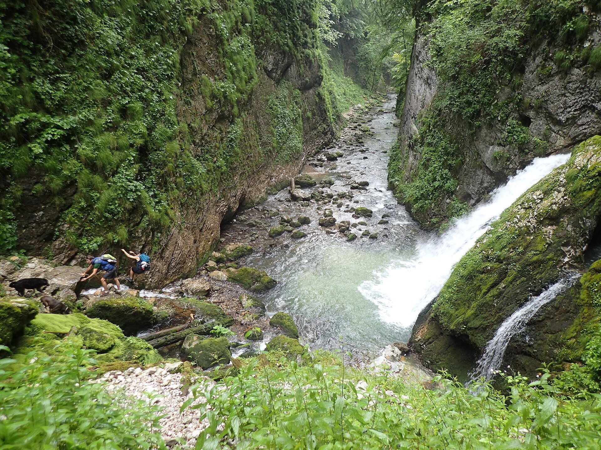
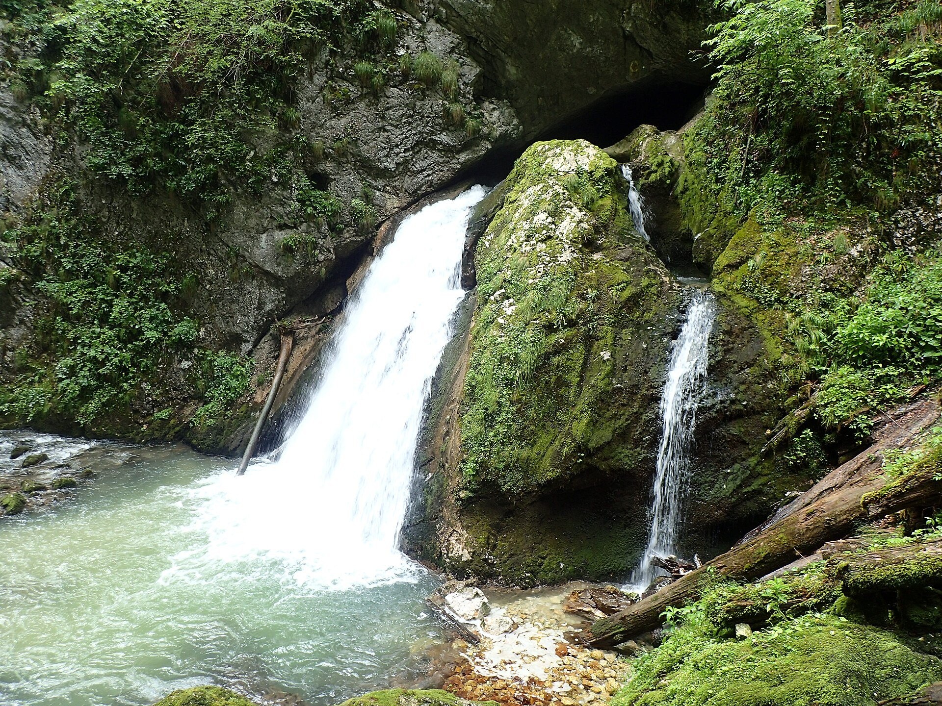
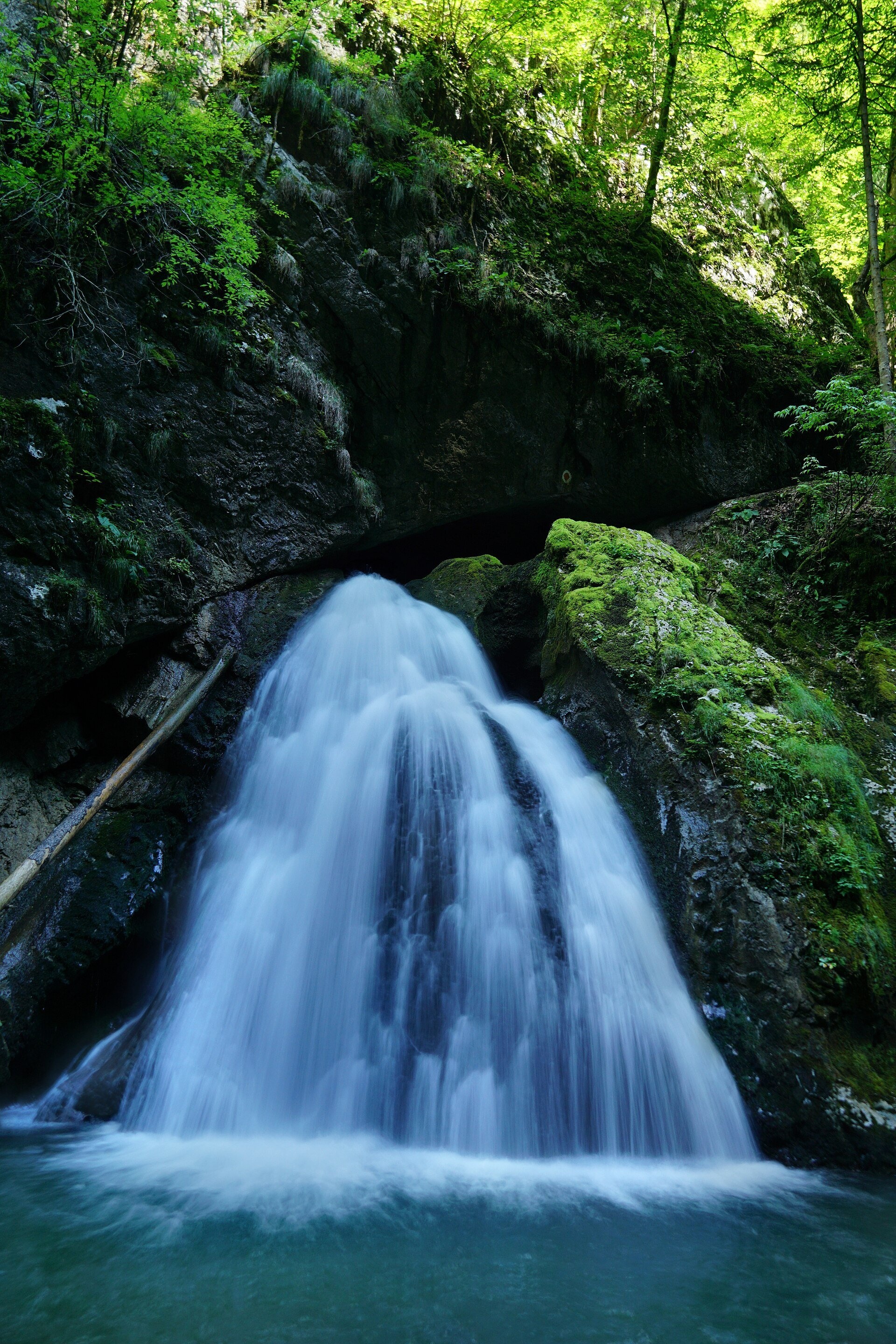
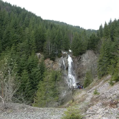
Evantai Waterfall (Cascada Evantai, «the Fan») lies in the Galbena Gorge (Cheile Galbenei) in the Bihor Mountains, inside Apuseni Natural Park in Bihor County. According to the Romanian Wikipedia it is halfway between the entrance to the gorge and the karst spring Izbucul Galbenei.
Above the waterfall the Galbena river flows underground, and the water comes to the surface straight from a cave mouth and then spreads over the rock like a fan — hence the name. Sources differ on the height: the Romanian Wikipedia gives about 7 m, the Munții Noștri guide about 10 m.
What to see
The water cut the gorge in limestone; the stream disappears into the rock and reappears. On the same route are the ice cave Ghețarul Focul Viu, where ice formations are seen from a wooden balcony, the protected meadow Poiana Florilor, the Borțig pothole and the karst complex Cetățile Ponorului.
The spring Izbucul Galbenei itself is the place where the water that went underground at Cetățile Ponorului comes out again and gives rise to the Galbena river with its blue-green water.
How to get there
The waterfall is reached on the «yellow dot» circuit from the Padiș tourist complex (route 17MN05 in the Munții Noștri guide): 17.8 km, 9.5–10 hours, more than 1,300 m of ascent, difficult. The trail crosses the Glăvoi meadow, passes the Focul Viu ice cave and Poiana Florilor and descends to the forest road in the Galbena valley.
The gorge is passed at low water — either wading or holding the cables and staples fixed in the rock; beyond the waterfall there is one more section with cables. Those who prefer to avoid the gorge can bypass it from Poiana Florilor on the branch marked PGD straight to the Izbucul Galbenei spring.
Season and safety
Munții Noștri notes that the route is impassable in winter and not recommended in rain, because the rock is slippery and the cables can be demanding. You need shoes with a good sole, a supply of water and a full day of light. At high water take the bypass.
Bears live in the Romanian Carpathians: stay on the marked path, talk as you walk and leave no food or litter; near sheepfolds do not run from the shepherd dogs — stop and calmly walk around the flock. Mountain rescue (Salvamont): national dispatch 0SALVAMONT — 0725 826 668 or 112; the service's advice for hikers is at salvamontromania.ro.
Photos: Raluca Paută, CC BY-SA 4.0, Wikimedia Commons; Mihai.cosmin.pascariu, CC BY-SA 4.0, Wikimedia Commons; xulescu_g, CC BY-SA 2.0, Wikimedia Commons.
Getting there from Ukraine
Border crossings
- Porubne – Siret — road and pedestrian, 24/7
- Diakivtsi – Racovăț — road and pedestrian, 24/7 No freight traffic.
- Krasnoilsk – Vicovu de Sus — road and pedestrian, 08:00–20:00 Cars up to 3.5 t and pedestrians only; not 24/7.
- Solotvyno – Sighetu Marmației — road and pedestrian, 24/7 Passenger traffic only: vehicles up to 3.5 t with up to 9 seats, pedestrians.
- Diakove – Halmeu — road, 24/7 No pedestrian crossing.
By car
Rakhiv – Cluj-Napoca ≈219 km, ≈3 h 44 min (via Solotvyno – Sighetu Marmației); Ivano-Frankivsk – Cluj-Napoca ≈353 km, ≈6 h 04 min (via Solotvyno – Sighetu Marmației); Chernivtsi – Cluj-Napoca ≈343 km, ≈6 h 28 min (via Krasnoilsk – Vicovu de Sus). Times without border queues, our road routing (GraphHopper, OSM).
Checked 03.11.2026; border crossing hours and timetables change — check before you travel.
Location on the map
Comments
Trails nearby
All trails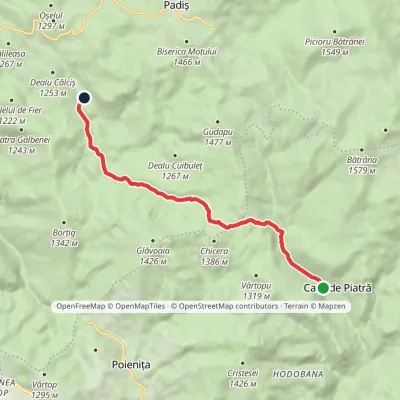 EasyOne-dayMarkedCasa de Piatră Glăvoi MeadowElevation profile1 026–1 302 m9.2 kmascent 304 m≈ 3 h walking2.6 km from Evantai Waterfall (Cascada Evantai)
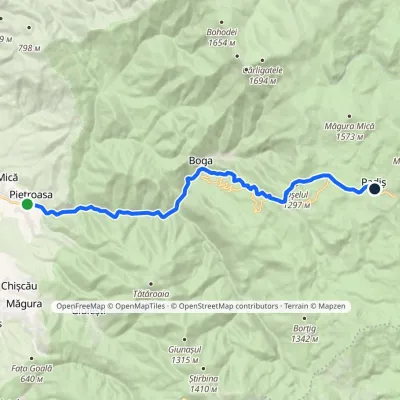 ModerateTwo-dayMarkedPietroasa PadișElevation profile322–1 298 m17.8 kmascent 1 068 m≈ 6.5 h walking4.2 km from Evantai Waterfall (Cascada Evantai)
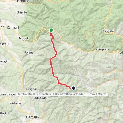 HardTwo-dayMarkedVârtop Saddle Mount GăinaElevation profile1 159–1 838 m26.7 kmascent 1 190 m≈ 9 h walking4.4 km from Evantai Waterfall (Cascada Evantai)
Nearby attractions
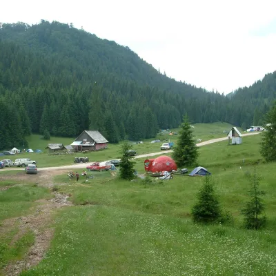 Mountain meadowPoiana GlăvoiBogaaltitude 1 086 m3.4 km from Evantai Waterfall (Cascada Evantai)Poiana Glăvoi (Hungarian: Glavoj-rét) is a broad grassy meadow on the Padiș plateau in the Bihor Mountains (Apuseni), at about 1,090 m.
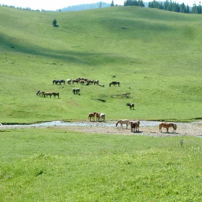 Mountain meadowPoiana PonorBogaaltitude 1 085 m3.4 km from Evantai Waterfall (Cascada Evantai)Poiana Ponor (Hungarian: Ponor-rét) is a closed karst depression on the Padiș plateau in the Bihor Mountains (Apuseni), at about 1,085 m.
 WaterfallVârciorog Waterfall (Cascada Vârciorog)Izlaz8.2 km from Evantai Waterfall (Cascada Evantai)Vârciorog Waterfall (Cascada Vârciorog) is a nature reserve of geological and landscape type in the south-east of the Bihor Mountains, in Arieșeni commune in the far...
