Peleaga
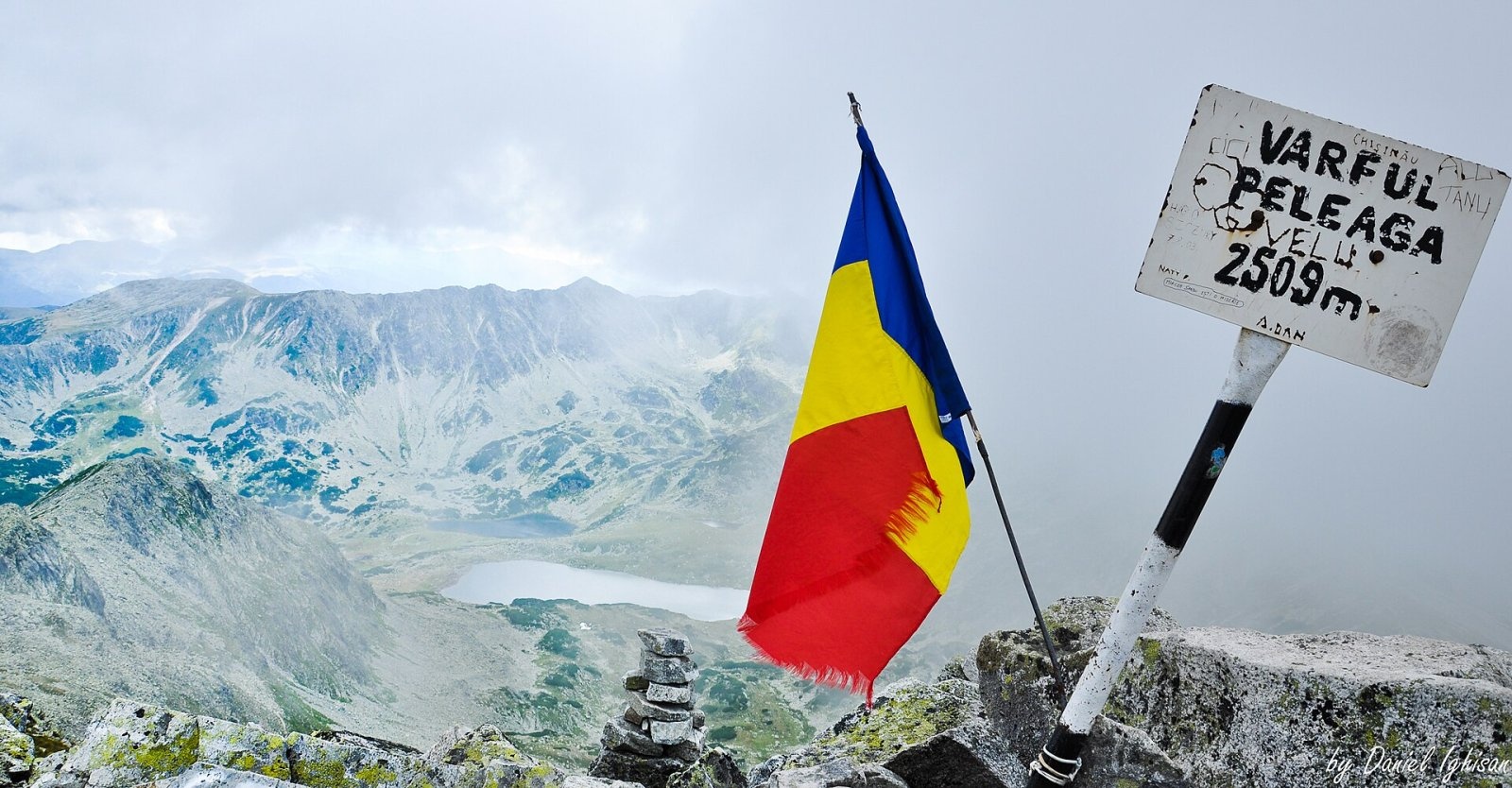
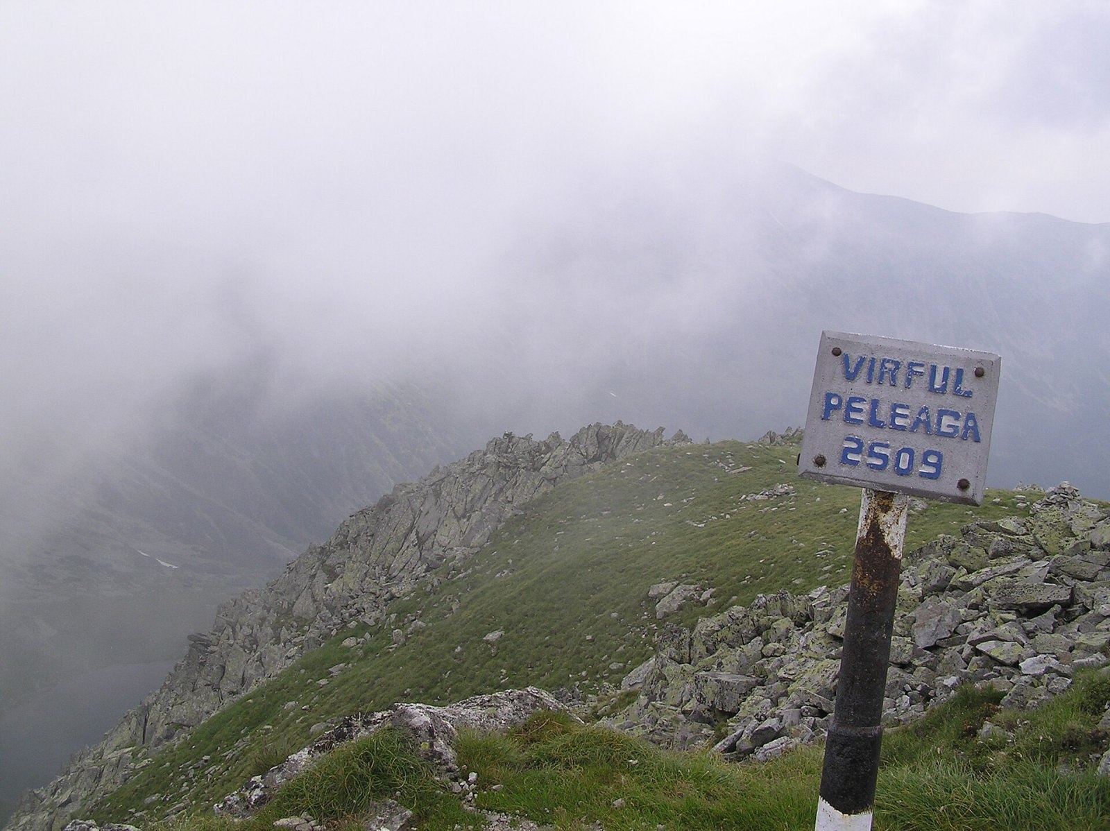
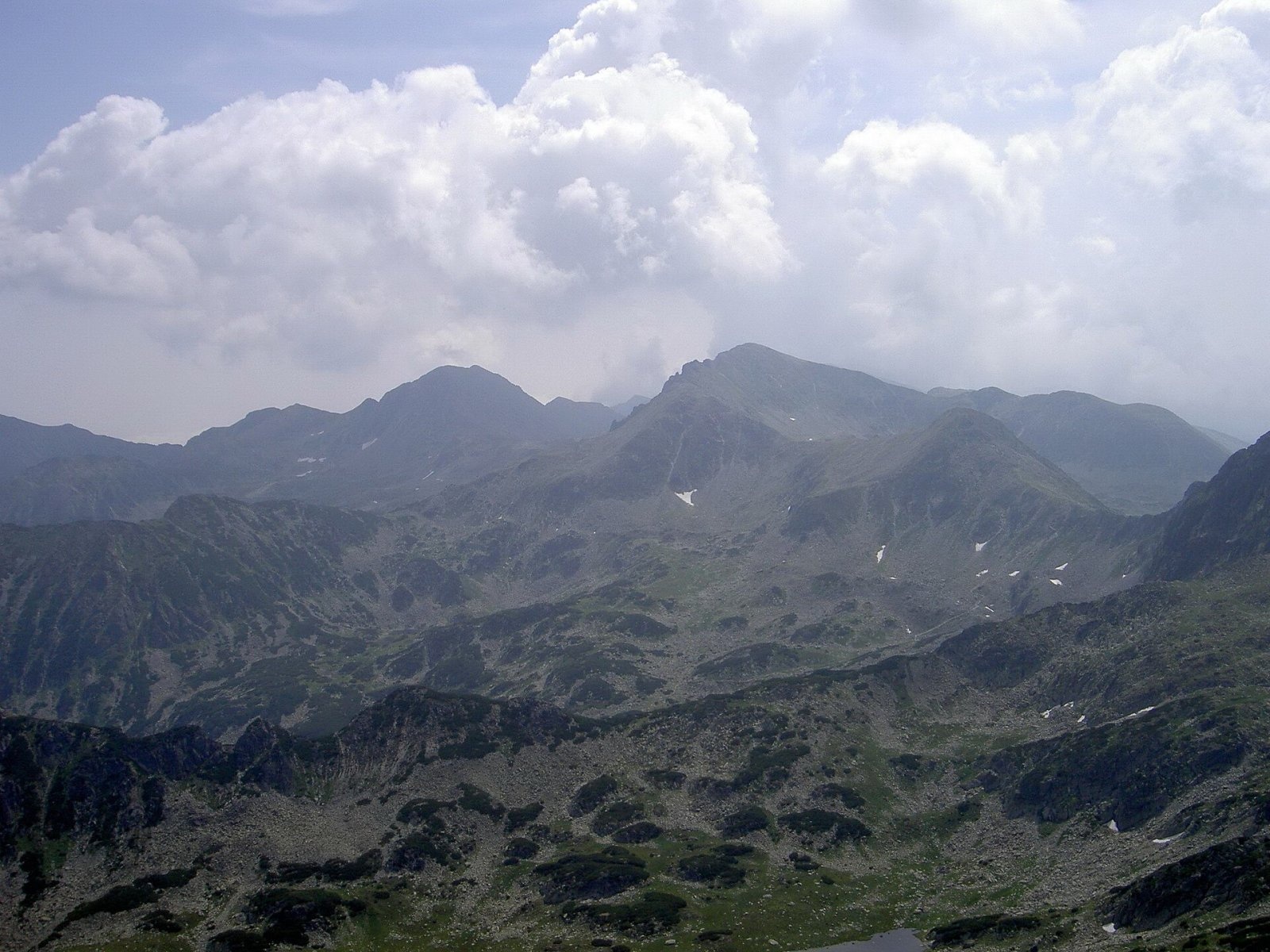
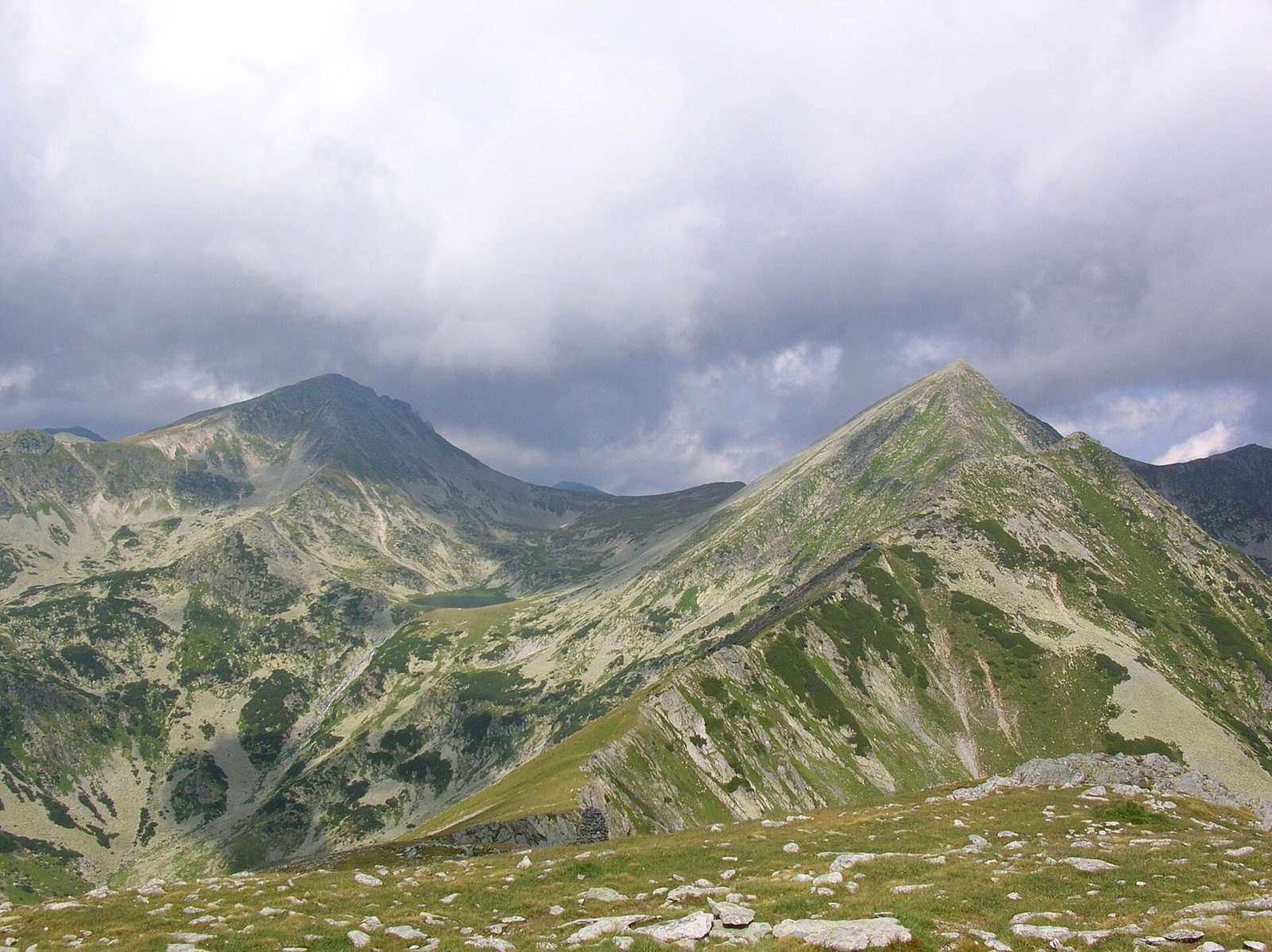
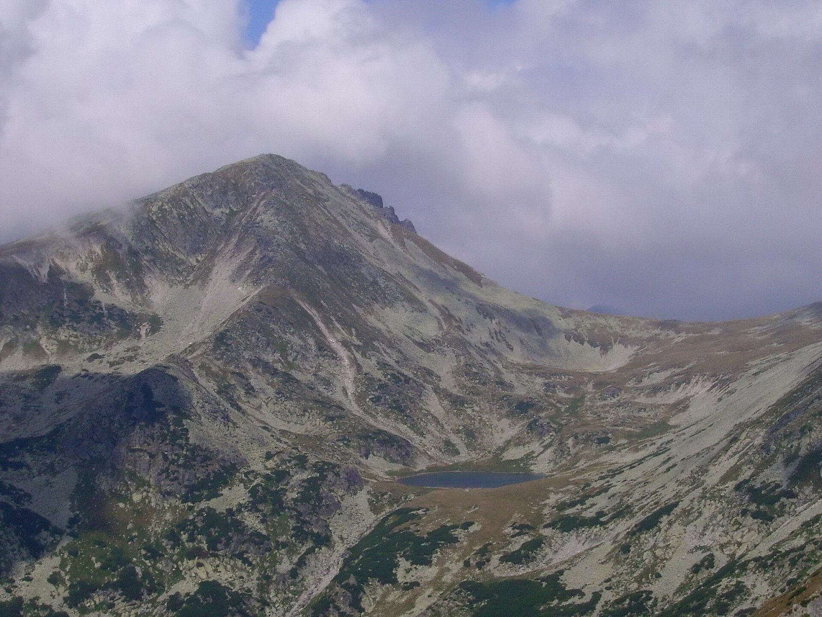
Peleaga (Romanian: Vârful Peleaga, Hungarian: Pelága-csúcs) is the highest summit of the Retezat Mountains in the Southern Carpathians, 2,509 m above sea level. It stands in the middle of the massif's northern main ridge, in Hunedoara County (historical Transylvania). According to Czech Wikipedia, the peak lies about 13 km north-west of the village of Câmpu lui Neag and 27 km south of the town of Hațeg. Peleaga is one of Romania's highest mountains (surpassed only by a few Făgăraș peaks and Parângul Mare) and the highest point of the Retezat National Park.
Four ridges radiate from the summit. Hungarian Wikipedia notes that the upper part of the north-western ridge is very broken, made of wild rock groups; on the northern slopes stand the Colții Pelegii rock towers, popular with climbers.
How to get there / routes
The park administration recommends loop route No. 9: Gura Bucurii – Lake Bucura – Căldarea Berbecilor – Peleaga peak – Peleaga valley – Gura Bucurii. According to the route sheet, it takes about 8 hours, with about 1,000 m of height difference and medium/difficult grading. From Gura Bucurii the path crosses the Peleaga stream on a footbridge and climbs the Bucura valley on the blue stripe together with the red cross to Lake Bucura, where a Salvamont refuge stands. Then the yellow cross leads through the glacial cirque of Căldarea Berbecilor and over granite slabs to the summit. The descent follows the same waymark to the Șaua Pelegii saddle, from where the blue dot leads to Lake Peleaga (Ghimpele) and back down the Peleaga valley.
The main Retezat ridge route with the red stripe also crosses the summit (from Hobița via the Gorova saddle to Curmătura Bucurei and Retezat peak), and from the Jiu Valley, from Uricani, a yellow cross leads to Peleaga over Lazărului and Păpușa peaks.
What you can see from the summit
Peleaga offers far-reaching views. Right below to the west lies Lake Bucura: according to English Wikipedia, it is Romania's largest glacial lake, 8.9 ha at 2,030 m; next to it you can see Lake Ana. To the south rises Păpușa (2,508 m), to the north-west Retezat peak, and beyond them dozens of cirques with tarns for which the massif is famous.
Nature and history
The Retezat is a granite massif known for its many glacial lakes. In the Căldarea Berbecilor cirque, according to the park's description, you may spot a herd of chamois with binoculars. The park stands out for its very rich flora and fauna; on the northern side of the massif lies the Gemenele strict reserve, which is closed to visitors.
Safety, season and rules
The loop over Peleaga is a full day in the high mountains; according to the park, there are no water sources on the section from Căldarea Berbecilor over the summit to Șaua Pelegii, so carry enough water. Start early and only in settled weather. The summit lies in the Retezat National Park, Romania's first national park. Under the park administration's rules, visits are subject to a fee: a ticket costs 10 lei and is valid for 7 days (sold on bilete.retezat.ro, at the access points and at the Nucșoara visitor centre). Walking is allowed only on marked trails, tents only in designated places, open fires are banned (only a stove is allowed at campsites), dogs must be kept on a lead, and swimming in the lakes is prohibited. The Gura Apelor – Gura Bucurii forest road (about 20 km, a high-clearance vehicle is recommended) is open, weather permitting, roughly from mid-May to mid-November; in winter the routes from Gura Bucurii are inaccessible. In winter the high ridges carry a serious avalanche risk — follow the avalanche bulletin of Romania's National Meteorological Administration (ANM) on meteoromania.ro.
Bears are common in the Romanian Carpathians. Salvamont rescuers advise not to hike alone, to talk loudly so that an animal hears you in advance, to keep your distance and never feed wildlife, and to store food in sealed containers away from your tent; if you meet a bear, do not run and back away slowly without turning your back.
Mountain rescue: Salvamont national dispatch 0SALVAMONT = 0725 826 668 and the emergency number 112.
Interesting facts
- The most precise height of Peleaga on the military topographic map is 2,507.9 m.
- Peleaga is the highest point of Romania's first national park.
- Lake Bucura below the summit is the country's largest glacial lake.
Photos: Daniel Ighisan, CC BY-SA 3.0; Igor.skokan at English Wikipedia, Public domain; Hardsr, Public domain; T. Lessiak, Public domain; Hardsr at Romanian Wikipedia, Public domain; Horia Varlan, CC BY 2.0 — Wikimedia Commons.
Getting there from Ukraine
Border crossings
- Porubne – Siret — road and pedestrian, 24/7
- Diakivtsi – Racovăț — road and pedestrian, 24/7 No freight traffic.
- Krasnoilsk – Vicovu de Sus — road and pedestrian, 08:00–20:00 Cars up to 3.5 t and pedestrians only; not 24/7.
- Solotvyno – Sighetu Marmației — road and pedestrian, 24/7 Passenger traffic only: vehicles up to 3.5 t with up to 9 seats, pedestrians.
- Diakove – Halmeu — road, 24/7 No pedestrian crossing.
By car
Rakhiv – Petroșani ≈450 km, ≈6 h 36 min (via Solotvyno – Sighetu Marmației); Ivano-Frankivsk – Petroșani ≈584 km, ≈8 h 55 min (via Solotvyno – Sighetu Marmației); Chernivtsi – Petroșani ≈539 km, ≈9 h 19 min (via Krasnoilsk – Vicovu de Sus). Times without border queues, our road routing (GraphHopper, OSM).
Checked 03.11.2026; border crossing hours and timetables change — check before you travel.
Location on the map
Water and shelter nearby
- Spring below Peleaga520 m · Not verified · 2 225 m
- Spring below Vârful Păpușa (south-west slope)730 m · Not verified · 2 151 m
- Spring below Custura Bucurei (south-east slope)860 m · Not verified · 2 142 m
- Spring below Custura Bucurei (south slope), 2 126 m1.1 km · Not verified · 2 126 m
- Spring below Păpușa Mică (south-west slope)1.1 km · Not verified · 1 946 m
- Spring below Păpușa Mică (west slope)1.2 km · Not verified · 2 069 m
- Spring below Valea Rea (south-west slope)1.4 km · Not verified · 2 068 m
- Spring below Custura Bucurei (south slope), 2 046 m1.4 km · Not verified · 2 046 m
- Bucura Salvamont Hut1.5 km · Not verified · 2 051 m
- Spring below Păpușa Mică (south slope)1.8 km · Not verified · 2 062 m
- Drinking water below Vârful lui Stirb1.9 km · Not verified · 1 832 m
- Spring below Vârful lui Stirb (north-east slope)2.1 km · Not verified · 1 819 m
- Spring below Vârful lui Stirb (north slope)2.3 km · Not verified · 1 997 m
- Spring below Valea Rea (east slope)2.4 km · Not verified · 2 045 m
- Spring below Bucura I2.4 km · Not verified · 2 094 m
- Spring below Valea Rea (north-east slope), 1 988 m2.5 km · Not verified · 1 988 m
Comments
Nearby attractions
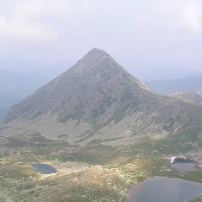 PeakPăpușa (Retezat)Râușoraltitude 2 508 m1.3 km from PeleagaPăpușa (Romanian: Vârful Păpușa, Hungarian: Papusa-csúcs) is a summit on the main ridge of the Retezat Mountains in the Southern Carpathians, in Hunedoara County.
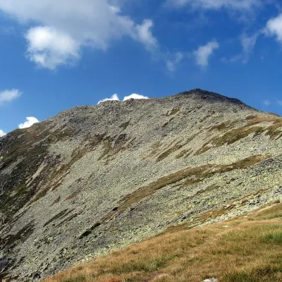 PeakBucura (Retezat)Râușoraltitude 2 433 m2.4 km from PeleagaBucura (Romanian: Vârful Bucura, Hungarian: Bukura-csúcs) is a massive double summit on the northern main ridge of the Retezat Mountains in the Southern Carpathians,...
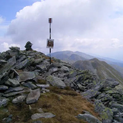 PeakCusturaaltitude 2 457 m3.4 km from PeleagaCustura (Romanian Vârful Custura) is a 2,457 m summit in the Retezat Mountains of the Southern Carpathians – according to Romanian Wikipedia, the fifth-highest in the...
