Piatra Goznei
Piatra Goznei (Romanian Vârful Piatra Goznei, also Piatra Gozna or simply Gozna) is the highest summit of the Semenic Mountains, at 1,447 m, in Caraș-Severin County in south-western Romania. The Semenic are the highest range of the Banat Mountains, which belong to the Western Romanian Carpathians. The peak lies about 5 km from the village of Văliug and 6 km from Gărâna; its prominence reaches 937 m, so the mountains rise very noticeably above the Banat plain.
According to Hungarian Wikipedia, the Semenic are a broad, spreading ridge with rounded summits, fairly steep slopes and deep winding valleys, running north to south between the valleys of the Timiș, Nera, Bârzava and Caraș. The three highest summits – Piatra Goznei (1,447 m), Semenic (about 1,446 m) and Piatra Nedei (about 1,439 m) – form a triangle, and each can be seen from the other two. Between them lies a plateau with high pastures and meadows, while the edges of the plateau are covered with mixed spruce and beech forest.
How to get there / trails
The summit belongs to the highest part of the Semenic plateau, which the administration of Semenic–Cheile Carașului National Park lists among its viewpoints. OpenStreetMap shows no separate waymarked trail running over the summit itself. The park has several marked routes to the Semenic plateau: from Comarnic with a red cross (13.9 km, about 3 h 35 min), from Cuptoare with a blue dot (13.8 km, about 9 h) and from Lake Secu (30.8 km, about 9 h). Altogether the park has 10 routes with a total length of 130 km; tracks and a map can be downloaded from the park website. A small ski resort, Semenic, also lies on the plateau.
What you can see from the summit
The park marks Gozna peak as a viewpoint. From here you can see the other two main summits of the massif, Semenic and Piatra Nedei, as well as the plateau of pastures between them.
Nature and history
The Semenic Mountains, together with the neighbouring Anina Mountains, form Semenic–Cheile Carașului National Park (IUCN category II). The first protection decision dates from 1982, when the strict Izvoarele Nerei reserve was also created; a law of 2000 confirmed the park, and since 2007 it has also been a Natura 2000 site. In 2017 the virgin forests of Izvoarele Nerei on the southern slope of Mount Semenic, in the upper Nera basin, became part of the UNESCO World Heritage site “Ancient and Primeval Beech Forests of the Carpathians and Other Regions of Europe”; the core of this component covers more than 4,677 ha at 620–1,400 m.
A special feature of the plateau is its peat bogs: according to the park, there are 30 separate patches at 1,100–1,400 m with a total area of 77 ha, including the headwaters of the Gozna stream. Fed by springs and rain, they are dominated by Sphagnum mosses, with round-leaved sundew and cranberry. According to Hungarian Wikipedia, more than a thousand plant species grow in the mountains, and between Gozna and Nedeia lies the tiny natural pool Baia Vulturilor (“the Eagles' Bath”), to which locals attribute healing power. The park's forests are home to bear, red deer, roe deer, wolf, lynx, martens and badger, and among reptiles the common adder and the nose-horned viper.
Safety, season and rules
A visitor fee is charged in the park: the simplest way is an SMS with the text SEMENIC to 7473 (2 euros plus VAT, valid on the day it is sent) or online on the park website. The plateau is exposed to wind, in winter snow lies here and ski runs operate, and fog on the flat plateau easily leads you astray – follow the waymarks. Do not leave the paths on the bogs: they are fragile protected habitats.
Bears are common in the Semenic Mountains. Salvamont advises walking in a group and talking, not hiking in the evening or at night, keeping dogs on a leash, not leaving food in or near your tent and moving away from a bear cub, because the mother is almost always nearby. Sheepdogs near sheepfolds may rush at hikers – do not run, shield yourself with your rucksack. In an emergency call the national dispatch 0SALVAMONT – 0725 826 668 or 112. Routes and rules are on the website of Semenic–Cheile Carașului National Park.
Getting there from Ukraine
Border crossings
- Porubne – Siret — road and pedestrian, 24/7
- Diakivtsi – Racovăț — road and pedestrian, 24/7 No freight traffic.
- Krasnoilsk – Vicovu de Sus — road and pedestrian, 08:00–20:00 Cars up to 3.5 t and pedestrians only; not 24/7.
- Solotvyno – Sighetu Marmației — road and pedestrian, 24/7 Passenger traffic only: vehicles up to 3.5 t with up to 9 seats, pedestrians.
- Diakove – Halmeu — road, 24/7 No pedestrian crossing.
By car
Rakhiv – Petroșani ≈450 km, ≈6 h 36 min (via Solotvyno – Sighetu Marmației); Ivano-Frankivsk – Petroșani ≈584 km, ≈8 h 55 min (via Solotvyno – Sighetu Marmației); Chernivtsi – Petroșani ≈539 km, ≈9 h 19 min (via Krasnoilsk – Vicovu de Sus). Times without border queues, our road routing (GraphHopper, OSM).
Checked 03.11.2026; border crossing hours and timetables change — check before you travel.
Water and shelter nearby
- Spring below Piatra Gozna1.6 km · Not verified · 1 389 m
Comments
Nearby attractions
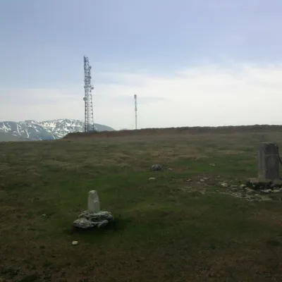 PeakMuntele MicPoiana Măruluialtitude 1 802 m39 km from Piatra GozneiMuntele Mic (Romanian, “the Little Mountain”; Hungarian Kis-havas) is a 1,802 m mountain (1,807 m according to OSM and a Wikimedia Commons caption) in Caraș-Severin...
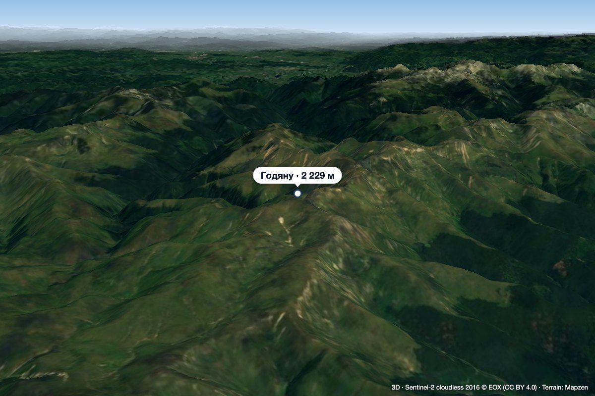 PeakGodeanu Peakaltitude 2 229 m47 km from Piatra GozneiGodeanu Peak (Romanian Vârful Godeanu) is a 2,229 m summit on the main ridge of the Godeanu Mountains in the western Southern Carpathians of Romania.
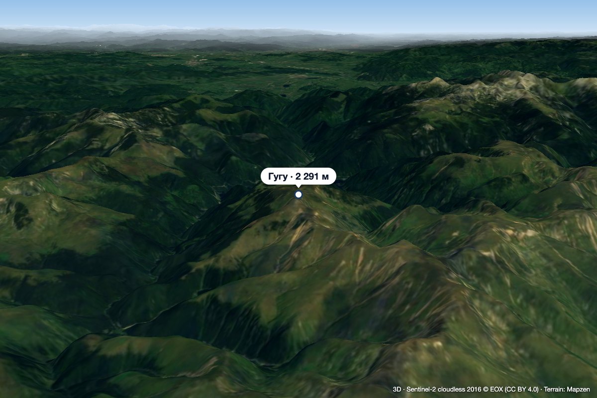 PeakGugu Peakaltitude 2 291 m50 km from Piatra GozneiGugu Peak (Romanian Vârful Gugu, also Muntele Gugu) is the highest summit of the Godeanu Mountains, at 2,291 m, in the western part of the Southern Carpathians in...
