Omu Peak
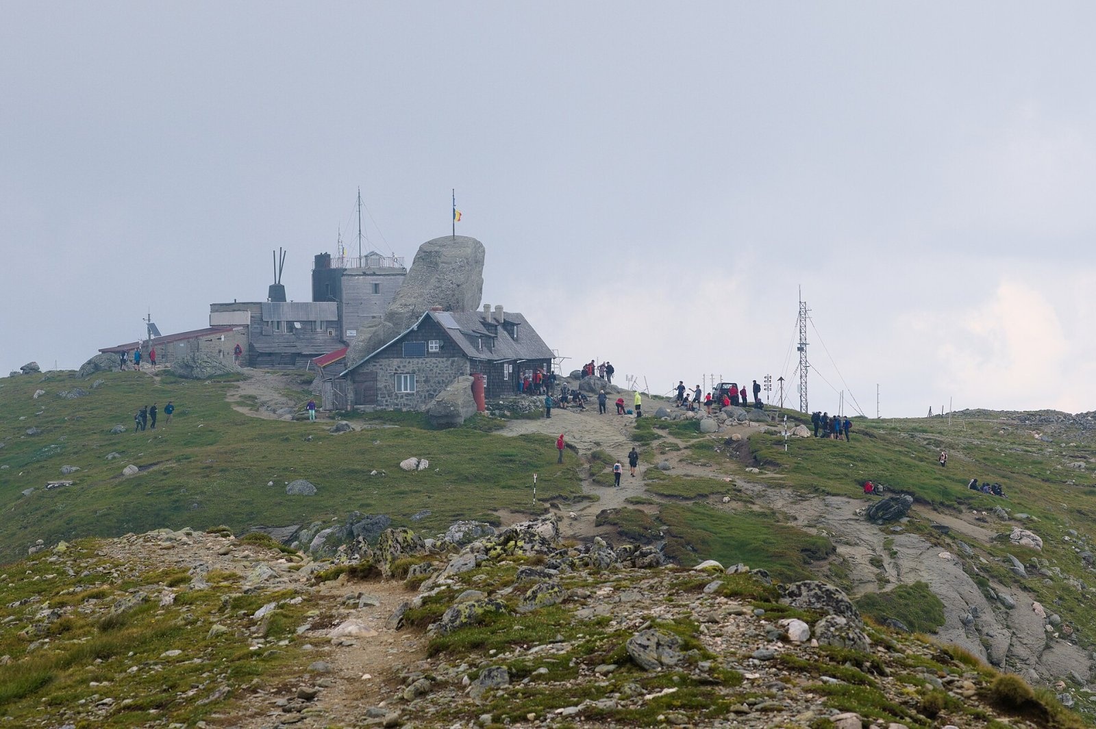
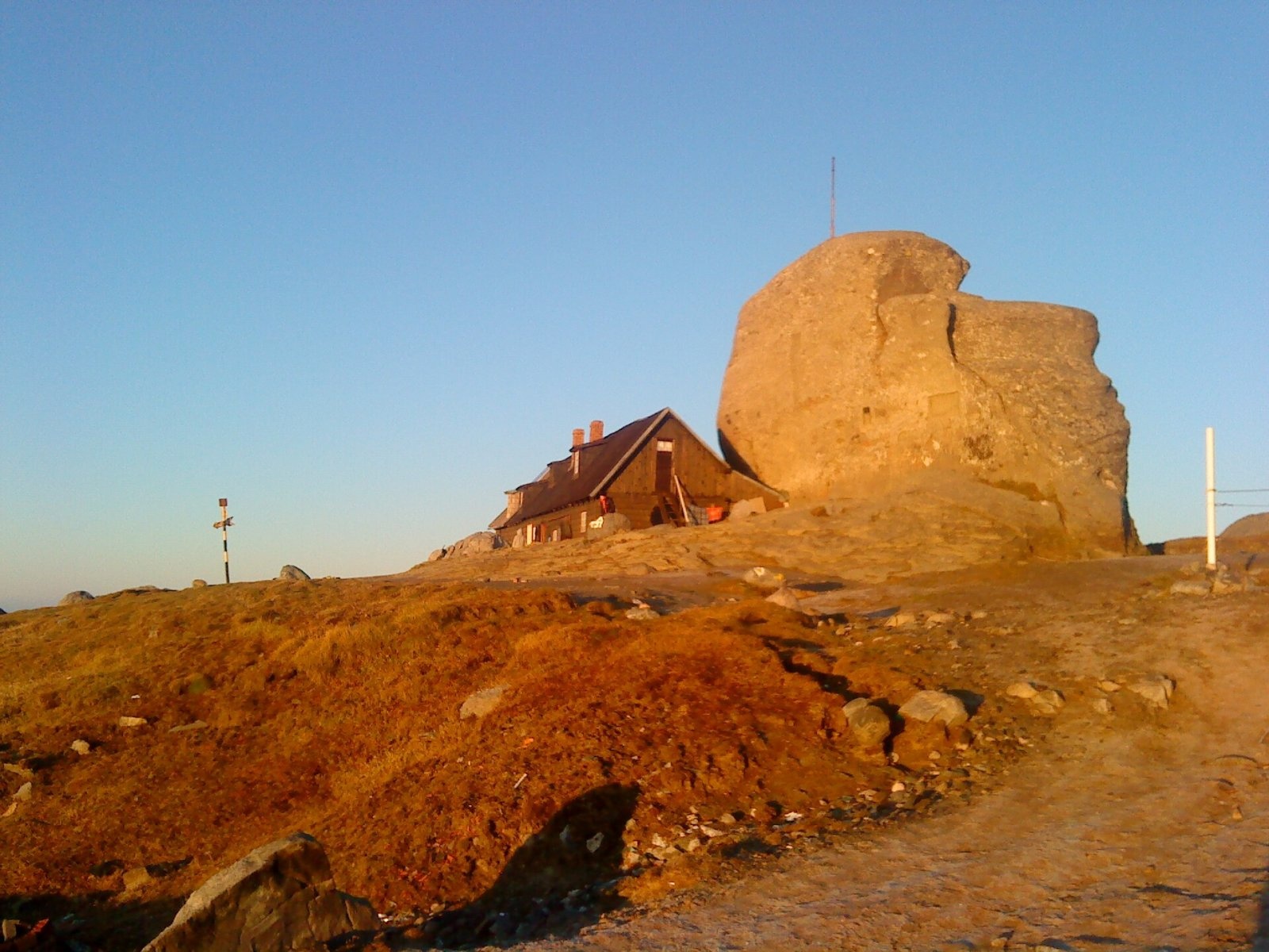
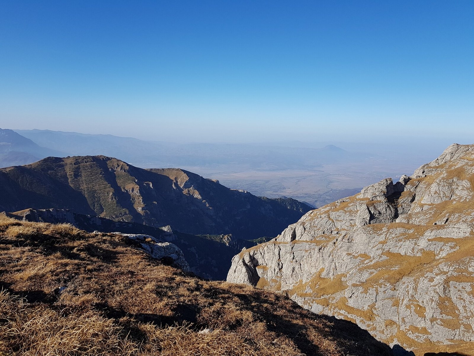
Omu Peak (Romanian Vârful Omu, also Omul) is the highest summit of the Bucegi Mountains in the Southern Carpathians of Romania. According to Romanian Wikipedia, the top of the boulder on the summit reaches 2,514 m – the highest natural point of the Bucegi; the first-order trig point behind the weather station stands at 2,504.9 m and the base of the mountain hut at 2,507 m, which is why all three figures appear in sources. The borders of three counties – Brașov, Prahova and Dâmbovița – meet on Omu. The peak lies in the northern part of the massif, about 7 km west of the town of Bușteni in the Prahova valley and 10 km south-east of Bran. Its prominence is about 1,345 m, so it clearly dominates the surroundings.
The summit is flat and broad, with no sharp spire. It holds a stone mountain hut – the highest building of its kind in the entire Carpathians – and a weather station, regarded as the highest permanently inhabited place in Romania. Omu can be seen both from the Piatra Craiului ridge and from the Prahova valley.
How to get there / trails
More than ten waymarked trails converge on the summit. From the Prahova side, from Bușteni, a red trail climbs past the Poiana Izvoarelor clearing and a yellow one via Poiana Coștilei. A blue trail crosses the whole plateau from Sinaia to Omu and on to Râșnov, and a yellow trail comes from the former Vârful cu Dor hut past Piatra Arsă. Three routes descend west to the Bran side: the yellow triangle via Vârful Scara, the red cross via Poiana Gaura and the red stripe via the Țigănești saddle. A red stripe also runs south over Muntele Strungile to the Padina hut in the Ialomița valley. The European long-distance path E8 crosses the summit too.
The easiest approach starts on the Babele plateau, reached by cable car from Bușteni. According to Czech Wikipedia, from there the yellow trail past the Babele and Sphinx rocks reaches the summit in 6.5 km with about 400 m of ascent. A longer variant leads from the cable car to the Heroes' Cross below Caraiman, then on the red trail to the saddle below Omu, where it joins the yellow one: about 9.5 km and 650 m of ascent. Cable-car timetables change, so check them before you set off.
What you can see from the summit
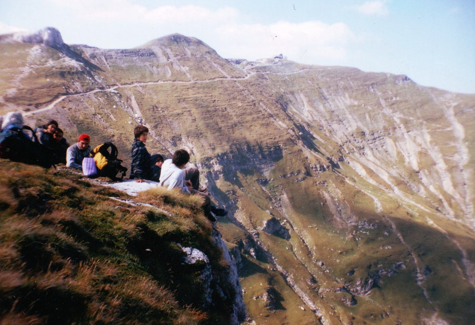
Omu overlooks the whole Bucegi plateau with its steep eastern walls above the Prahova, the Piatra Craiului ridge to the west and the Bran valley to the north. To the south and east the surface of the plateau slopes gradually down towards Sinaia.
Nature and history
The summit lies in Bucegi Natural Park, founded in 2003 and part of the Natura 2000 network. The best-known natural landmarks near Omu are the Babele and the Sphinx: according to the park, these are conglomerates that wind erosion has shaped over thousands of years into mushroom forms and a human head. The park has large bear populations as well as chamois, roe deer, lynx and black woodpecker, while edelweiss grows among the rocks.
The summit climate is alpine. According to English Wikipedia, the mean annual temperature is −1.8 °C, the warmest month is August (7.2 °C), the coldest February (−10 °C), and annual precipitation is about 950 mm. The weather station has worked since 1927 and its present building dates from 1962; it has recorded −38.5 °C (18 January 1942) and winds above 150 km/h, and snow lies for more than 200 days a year.
The first stone hut on the summit was built in 1888 by the Transylvanian Carpathian Society (SKV). Later a wooden hut of the Carpatina society from Sinaia stood next to it until it burned down in 1911. The present building was put up by the Touring Club of Romania: its parts were made in Bușteni, lifted by cableway to Piatra Arsă and carried to the summit, and it opened on 7 August 1926; it was extended in 1936–1937.
Safety, season and rules
In summer the trails to Omu are technically easy but long, and fog and thunderstorms on the open plateau are dangerous. In winter the summit is snow-covered and avalanches come down the steep Bucegi slopes: before you go, check the snow and avalanche bulletin of the National Meteorological Administration at meteoromania.ro. A visitor ticket is required for the park (10 lei per adult for three months, online or from the rangers).
The Bucegi have many bears. The park administration and Salvamont advise walking in a group and talking, staying on marked paths, not hiking in the evening or at night, keeping dogs on a leash, never approaching a bear and never running from it but backing away slowly; do not leave food near your tent. Rescue: national dispatch 0SALVAMONT – 0725 826 668 or 112. More on the website of Bucegi Natural Park.
Photos: Andrei Stroe, CC BY-SA 4.0; Amorphisman, CC BY-SA 3.0; Iulian from Bucharest, Romania, CC BY-SA 2.0; Mitrutpopoiu, Public domain; Hegyes, CC BY-SA 4.0 — Wikimedia Commons.
Getting there from Ukraine
Border crossings
- Porubne – Siret — road and pedestrian, 24/7
- Diakivtsi – Racovăț — road and pedestrian, 24/7 No freight traffic.
- Krasnoilsk – Vicovu de Sus — road and pedestrian, 08:00–20:00 Cars up to 3.5 t and pedestrians only; not 24/7.
- Solotvyno – Sighetu Marmației — road and pedestrian, 24/7 Passenger traffic only: vehicles up to 3.5 t with up to 9 seats, pedestrians.
- Diakove – Halmeu — road, 24/7 No pedestrian crossing.
By car
Chernivtsi – Bușteni ≈426 km, ≈7 h 32 min (via Diakivtsi – Racovăț); Rakhiv – Bușteni ≈454 km, ≈8 h 01 min (via Solotvyno – Sighetu Marmației); Uzhhorod – Bușteni ≈557 km, ≈9 h 15 min (via Diakove – Halmeu). Times without border queues, our road routing (GraphHopper, OSM).
Checked 03.11.2026; border crossing hours and timetables change — check before you travel.
Location on the map
Water and shelter nearby
- Omu Chalet20 m · Standing · 2 507 m
- Izvor Mecet Spring1.3 km · Not verified · 2 279 m
- Mălăiești Salvamont Hut2.2 km · Not verified · 1 709 m
- Spring below Bucșoiu2.2 km · Not verified · 1 694 m
- Mălăiești Hut2.2 km · Standing · 1 720 m
- Spring below Obârșia2.4 km · Not verified · 2 008 m
- Spring below Colțul Mălinului2.4 km · Not verified · 1 581 m
- Țigănești Hut2.5 km · Not verified · 2 169 m
Comments
Nearby attractions
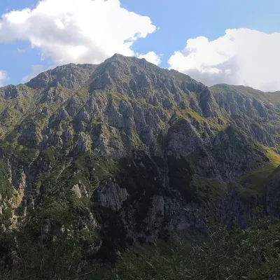 PeakBucșoiuPârâul Recealtitude 2 492 m1.2 km from Omu PeakBucșoiu (Romanian Vârful Bucșoiu) is a 2,492 m summit in the northern part of the Bucegi Mountains. According to Romanian Wikipedia it is the third-highest peak of the...
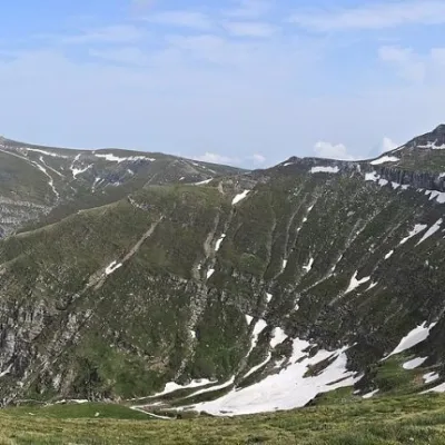 PeakCoștila PeakBuștenialtitude 2 490 m3 km from Omu PeakCoștila Peak (Romanian Vârful Coștila) is a 2,490 m summit in the Bucegi Mountains of the Southern Carpathians in Romania.
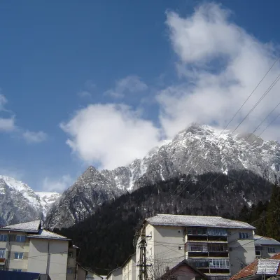 PeakCaraiman PeakBuștenialtitude 2 384 m4.3 km from Omu PeakCaraiman Peak (Romanian Vârful Caraiman) is a 2,384 m summit in the Bucegi Mountains of the Southern Carpathians in Romania.
