Zăganu
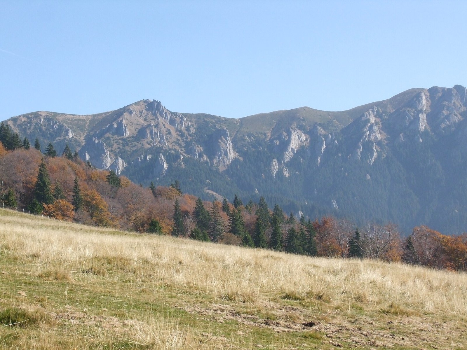
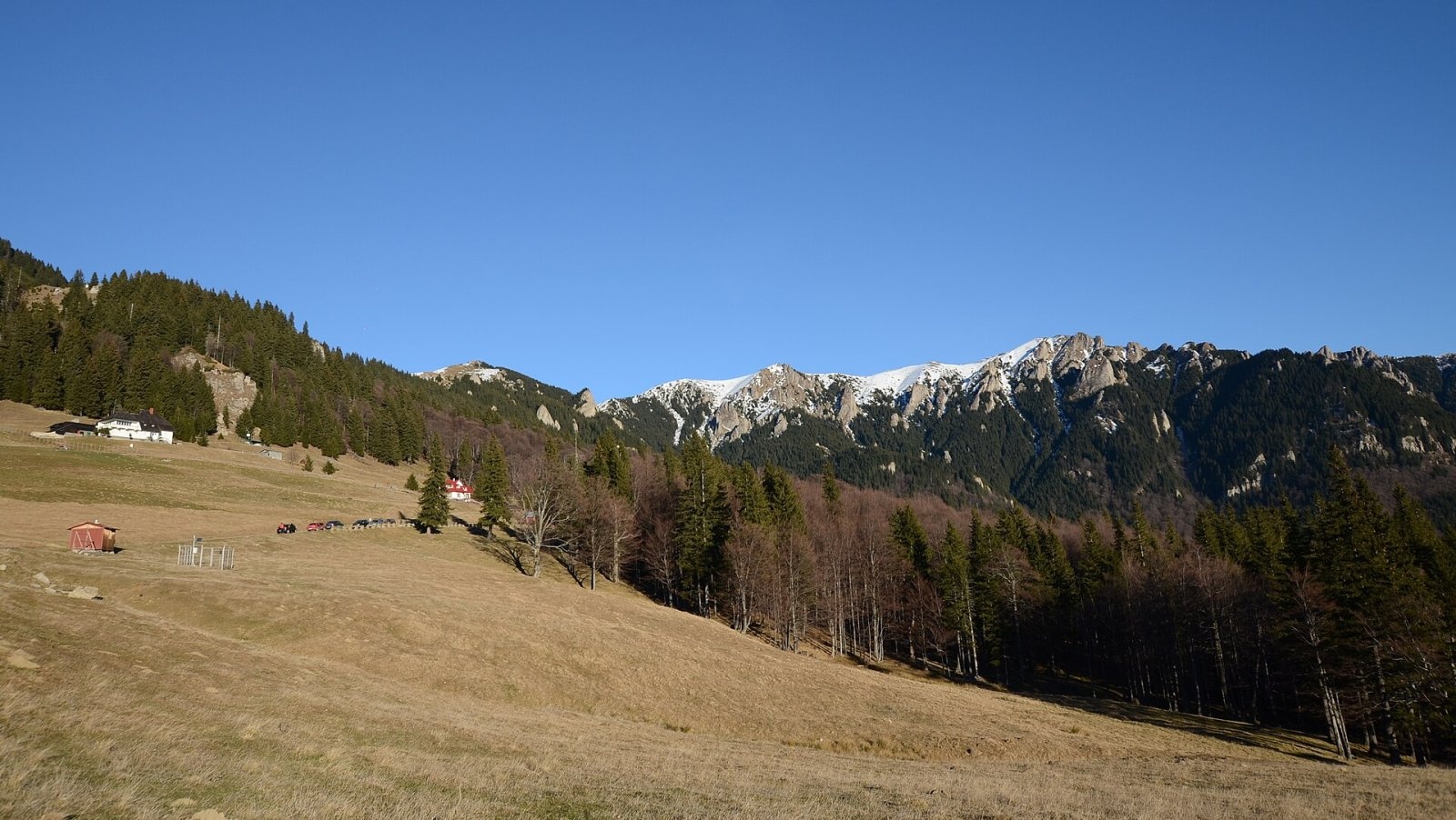
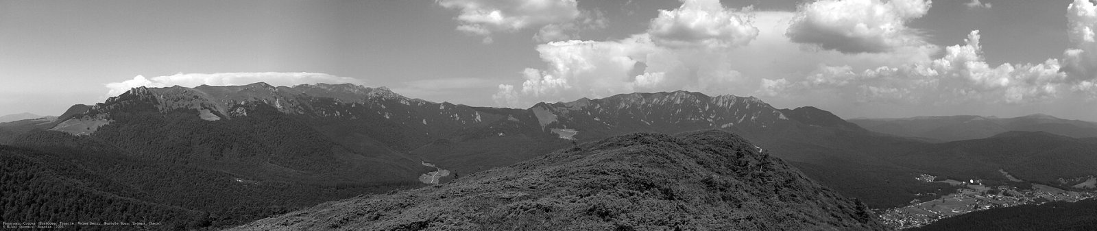
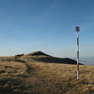
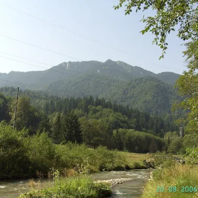
Zăganu (Romanian Vârful Zăganu, Hungarian Zagán or Zákányos) is a 1,817 m summit and also the name of a whole rocky ridge in the Ciucaș Mountains, in the Curvature Carpathians (Eastern Carpathians, Romania). The ridge lies in Prahova County, and below its southern end, only 4 km from the summit, is the mountain resort of Cheia. According to Hungarian Wikipedia, Zăganu is hardly less spectacular than the main Ciucaș ridge.
The Gropșoarele – Zăganu ridge joins the main Ciucaș range via the Chirușca and Gropșoare saddles at about 1,663 m. From there it runs south to Răscruci (about 1,805 m), where Muntele Roșu branches off, then rises to the ridge's highest point, Gropșoare (1,883 m), and descends gently over the “Copper Bridge” (Podul de Aramă) to Zăganu – the southernmost major summit of the ridge. Beyond it the ridge drops steeply to Cheia.
How to get there / trails
A single waymarked trail follows the ridge – the red cross: from the resort of Cheia over Zăganu and Gropșoarele to the Ciucaș hut on the Chirușca saddle. According to Hungarian Wikipedia, chains help in places on the more dangerous spots. The same source says the ridge is most easily reached from the main Ciucaș range, from Muntele Roșu or from Cheia; a route marked with a blue triangle also leads to Zăganu from the Poiana Stânii clearing.
What you can see from the summit
Hungarian Wikipedia describes a very wide panorama from the ridge: above all the huge Ciucaș massif, the Grohotiș, Tătaru and Siriu mountains, and further away Piatra Mare, Postăvarul, the Baiu and Bucegi, the Perșani and Baraolt mountains, the Bodoc, Ciomad, Nemira and Penteleu. To the south opens the Teleajen valley, descending towards the Wallachian plain.
Nature and history
Zăganu is built of the same conglomerate as the main Ciucaș massif, so the landforms are similar too: the slopes are steep and the ridge carries countless bizarre rock formations. The Ciucaș Mountains are part of the Natura 2000 network, and their rocks are protected by a nature reserve.
The name comes from the Romanian word zăgan, the bearded vulture (Gypaetus barbatus), a large vulture with black-grey back and wings, a yellowish-white head and black “beard” feathers under its beak. These birds once nested on the Zăganu crags, but according to Romanian Wikipedia they were hunted to extinction, and there are no bearded vultures in the Ciucaș any more. Chamois can sometimes be seen on the rocks of the ridge.
Safety, season and rules
The ridge is rocky and exposed in places, with chains on the harder sections: it is dangerous in rain, fog, ice and thunderstorms, and in winter it requires winter equipment and experience. Salvamont advises checking the forecast for the next 24 hours, choosing a route that suits the weakest member of the group, not hiking alone, telling your family your route and leaving the ridge at once if a thunderstorm starts.
Bears are common in the Ciucaș Mountains. Stay on the marked paths, walk in a group and talk, do not hike in the evening or at night, keep dogs on a leash, do not leave food in or near your tent and move away from a bear cub. In an emergency call the national dispatch 0SALVAMONT – 0725 826 668 or 112; advice on animal encounters is on the Salvamont România website.
Photos: Lovas40, CC BY-SA 4.0; Razvan Socol, CC BY-SA 4.0; Mihai Oprescu, CC BY 2.5 — Wikimedia Commons.
Getting there from Ukraine
Border crossings
- Porubne – Siret — road and pedestrian, 24/7
- Diakivtsi – Racovăț — road and pedestrian, 24/7 No freight traffic.
- Krasnoilsk – Vicovu de Sus — road and pedestrian, 08:00–20:00 Cars up to 3.5 t and pedestrians only; not 24/7.
- Solotvyno – Sighetu Marmației — road and pedestrian, 24/7 Passenger traffic only: vehicles up to 3.5 t with up to 9 seats, pedestrians.
- Diakove – Halmeu — road, 24/7 No pedestrian crossing.
By car
Chernivtsi – Brașov ≈395 km, ≈7 h 03 min (via Diakivtsi – Racovăț); Rakhiv – Brașov ≈419 km, ≈7 h 24 min (via Solotvyno – Sighetu Marmației); Uzhhorod – Brașov ≈522 km, ≈8 h 39 min (via Diakove – Halmeu). Times without border queues, our road routing (GraphHopper, OSM).
Checked 03.11.2026; border crossing hours and timetables change — check before you travel.
Location on the map
Water and shelter nearby
- Hut below Zăganu1.3 km · Not verified · 1 472 m
- Hut below Colții Boncuței1.7 km · Not verified · 1 596 m
- Spring below Muntele Roșu2.9 km · Not verified · 1 615 m
- Spring below Piatra Laptelui (south slope)3 km · Not verified · 1 491 m
Comments
Nearby attractions
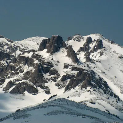 PeakCiucaș PeakCheiaaltitude 1 954 m5.9 km from ZăganuCiucaș Peak (Romanian Vârful Ciucaș, Hungarian Csukás, German Krähenstein) is the highest summit of the Ciucaș Mountains, at 1,954 m.
 PeakPiatra MareTimișu de Josaltitude 1 843 m28 km from ZăganuPiatra Mare (Romanian Vârful Piatra Mare, “the Great Stone”, German Hohenstein, Hungarian Nagykőhavas) is the highest summit of the small massif of the same name south...
 PeakPostăvarulPoiana Brașovaltitude 1 799 m33 km from ZăganuPostăvarul (Romanian Vârful Postăvarul, popularly Postăvaru, German Schuler, Hungarian Keresztényhavas) is a 1,799 m summit, the highest peak of the small Postăvarul...
