Ostry (Silesian Beskids)
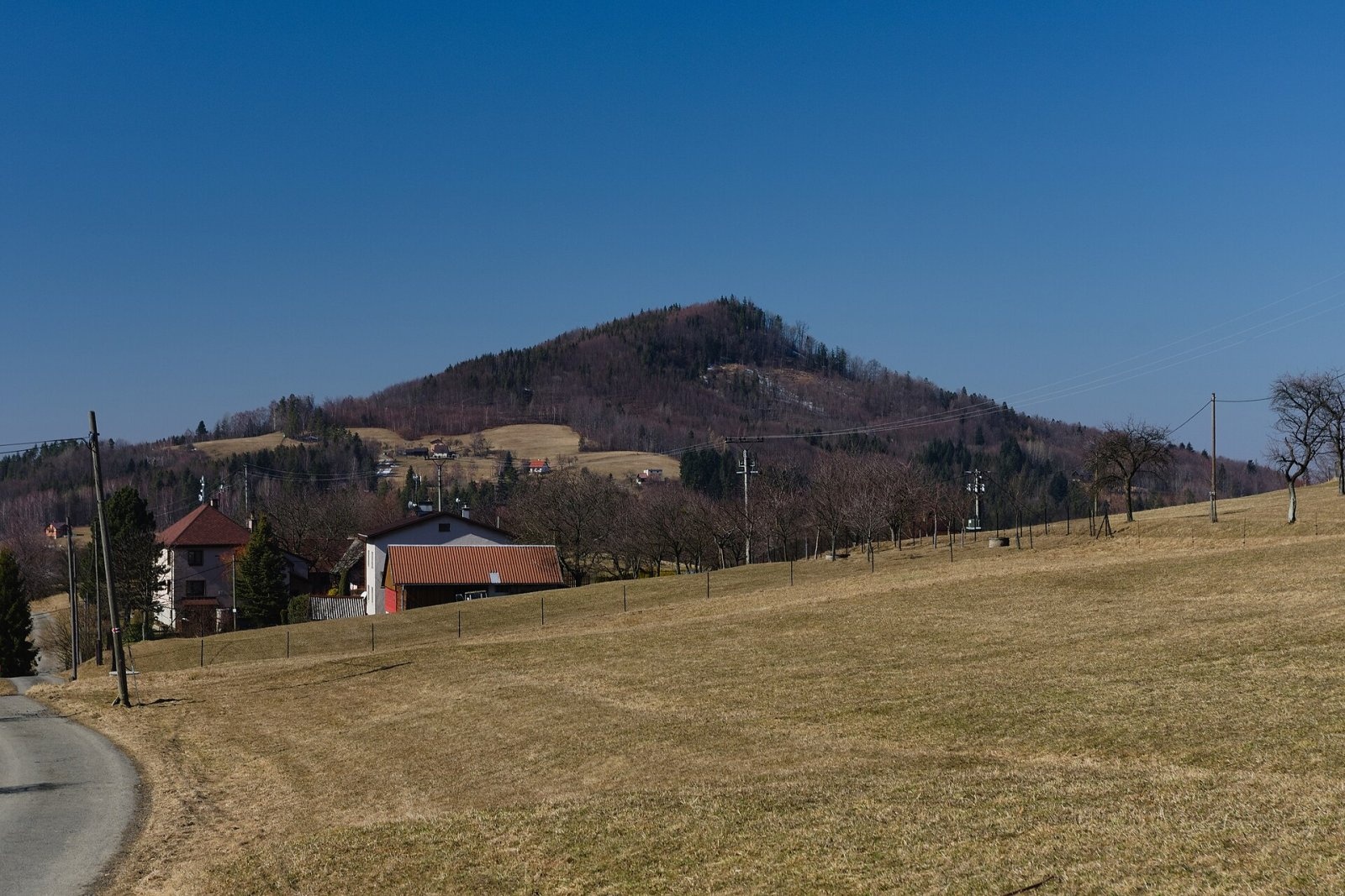
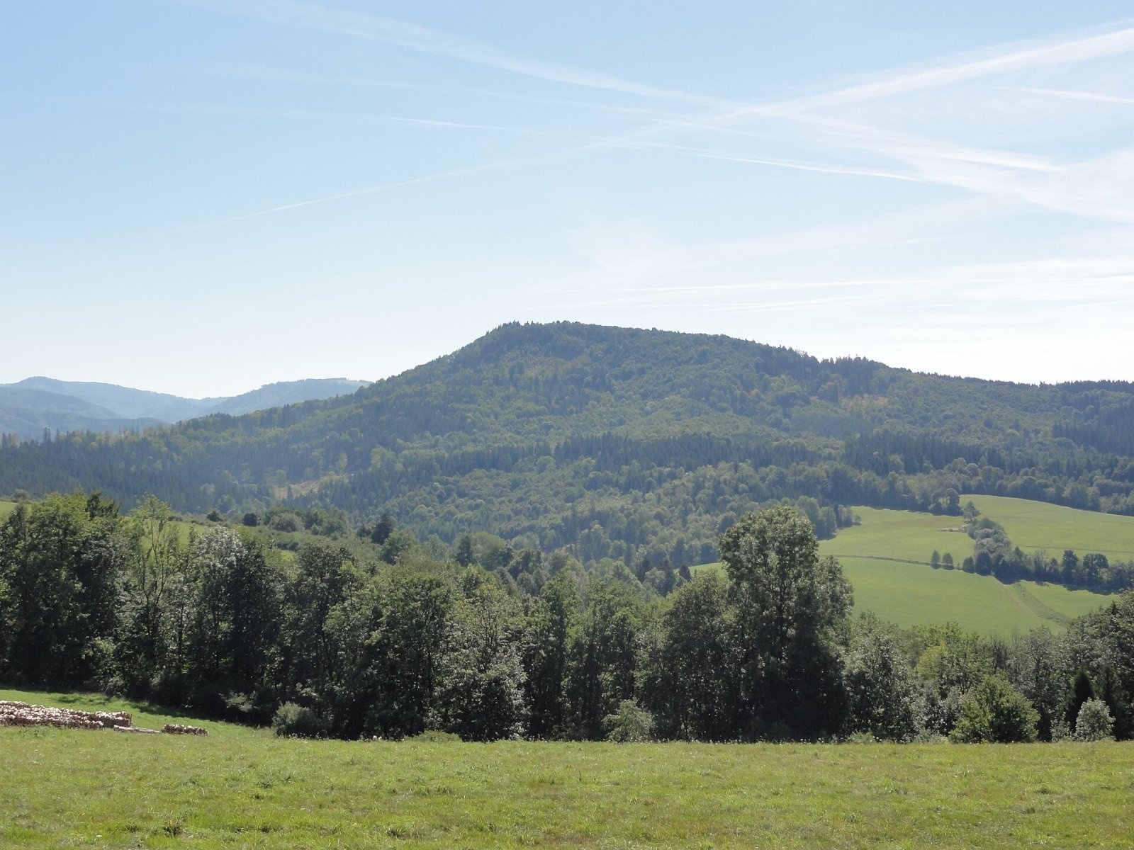
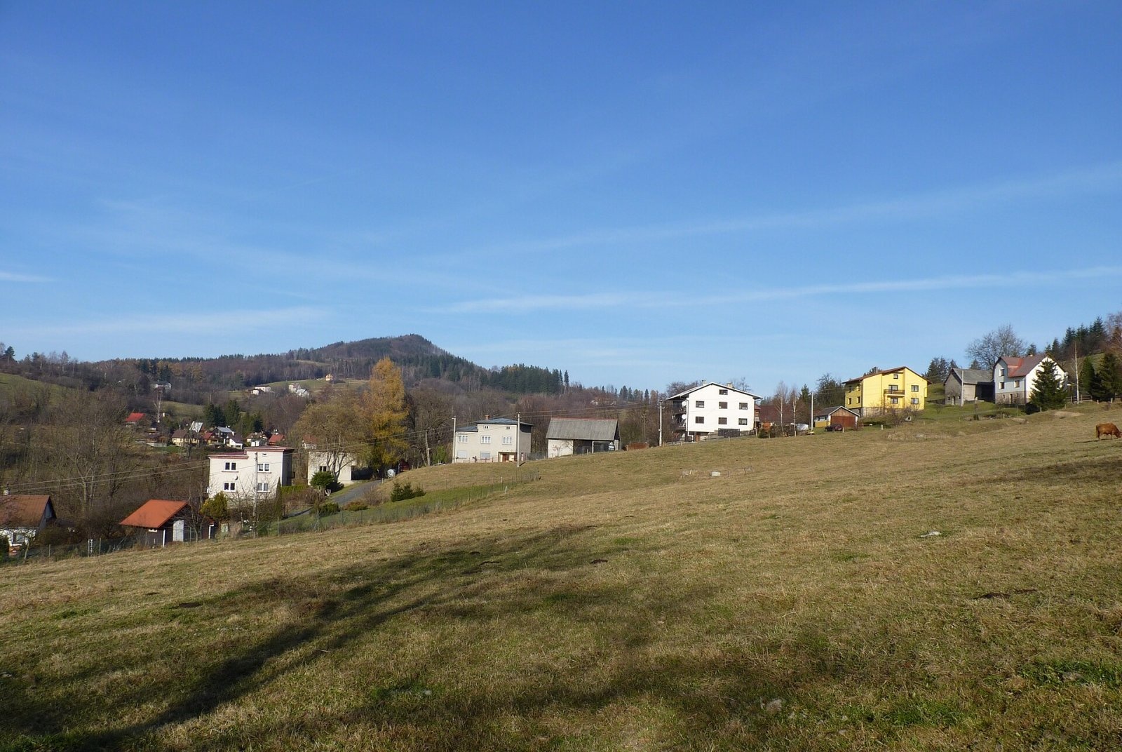
Ostry (Czech Ostrý vrch, German Scharfer Berg) is a 709 m mountain in the Silesian Beskids on the Polish–Czech border. It belongs to the Stożek–Czantoria range and lies on a side ridge running west from Mała Czantoria above the Olza valley near Třinec. The northern, Polish slopes are part of the village of Leszna Górna (Goleszów municipality, Cieszyn County, Silesian Voivodeship), the south-western, Czech ones of the village of Vendryně in the Frýdek-Místek district. Leszna Górna is about 3.1 km away, Czech Nýdek 2.3 km and Třinec 5.7 km.
Ostry is completely forested and has a bold conical shape, which gave the mountain its name ("sharp"). According to Wikidata, its prominence is about 161 m and its isolation about 1.8 km.
Getting there / trails
The state border runs along the ridge over the summit, and slightly lower, bypassing the summit itself on the south, runs the red trail from Třinec to Wielka Czantoria; it passes about 200 m from the top. There is no marked path to the summit itself. Czech Wikipedia adds that the red trail runs along the southern slope, where the scattered houses of the Ostrý hamlet of Nýdek lie. German Wikipedia also mentions marked trails from the Wisła side, but the sources do not give their exact course.
What you can see from the top
The summit is wooded and the sources describe no views from it. The mountain itself is well seen from around Nýdek and from below neighbouring Tuł, from where it appears as a distinct cone.
Nature and geology
Ostry owes its shape to its structure: together with neighbouring Mały Ostry (588 m, about 750 m to the west on the same ridge) it is built mainly of dark marly shales (the so-called Wierzowice shales) capped by sandstones of the Grodziszcze and Lgota beds. These hard sandstones protect the softer shales from erosion, so the mountain keeps its steep slopes. Headwater streams of the Lesznianka flow from the Polish slopes, and the sources of the Vendryňka from the south-western, Czech ones; per OpenStreetMap, the Vendryňka spring lies about 530 m from the summit. The scattered houses of the Czech hamlet of Ostrý lie on the southern slopes, and the pass below Tuł (536 m) is nearby.
A mountain between two countries
Ostry is the highest point of Gmina Goleszów. The border running over it once split the single village of Leszna Górna: five-sixths of its area stayed in Poland, while one-sixth ended up in Czechia and since 1946 has been part of the town of Třinec. The village name is derived from the local word "lyska", hazel. Polish Leszna Górna lies in the Lesznianka valley where the Silesian Beskids meet the Cieszyn Foothills, while on the Czech side lies Nýdek, a village with a sizeable Polish minority whose land also includes the highest peak of the range, Velká Čantoryje (995 m).
Safety, season and rules
Ostry is a low wooded mountain that can be visited all year round; the red trail is easy, but in winter it can be snowy and icy. As the summit lies on the state border, keep to marked paths and carry ID. The summit is not in a national park. On the Polish side mountain rescue is provided by GOPR (985 or +48 601 100 300), on the Czech side by the Horská služba (1210); the general European emergency number is 112.
Photos: Adrian Tync, CC BY-SA 4.0; D T G, CC BY-SA 3.0; Michal Klajban, CC BY-SA 3.0 — Wikimedia Commons.
Getting there from Ukraine
Border crossings
- Krakovets – Korczowa — road, 24/7
- Shehyni – Medyka — road, 24/7 Pedestrian crossing is not confirmed by the Ukrainian border service — check dpsu.gov.ua before the trip.
- Smilnytsia – Krościenko — road, 24/7
- Hrushiv – Budomierz — road, 24/7
- Mostyska – Przemyśl (rail) — rail, 24/7
By car
Lviv – Żywiec ≈412 km, ≈5 h 30 min without queues or tolls: M-10 → Krakovets – Korczowa → A4 to Kraków (≈249 km) → DK52 via Wadowice → DW781 and DW946 to Żywiec. ≈333 km, ≈4 h from the border. Alternative via the tolled A4 Kraków – Katowice and the S1 via Tychy and Bielsko-Biała: ≈457 km, ≈5 h 25 min.
Checked 23.10.2026; border crossing hours and timetables change — check before you travel.
Location on the map
Water and shelter nearby
- Drinking Water Spring, 611 m1.8 km · Not verified · 611 m
Comments
Trails nearby
All trails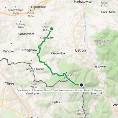 ModerateOne-dayMarkedGoleszów station Czantoria Wielkavia TułElevation profile333–995 m14.1 kmascent 805 m≈ 5 h walking1.7 km from Ostry (Silesian Beskids)
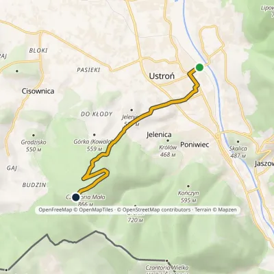 EasyOne-dayMarkedUstroń-Zdrój station Mała CzantoriaElevation profile358–870 m6.3 kmascent 512 m≈ 2.5 h walking2.4 km from Ostry (Silesian Beskids)
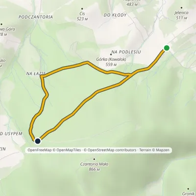 EasyOne-dayMarkedForest TrailElevation profile495–627 m5.2 kmascent 286 m≈ 2 h walking2.5 km from Ostry (Silesian Beskids)
Nearby attractions
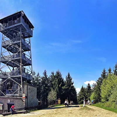 PeakCzantoria WielkaJawornikaltitude 995 m3.9 km from Ostry (Silesian Beskids)Czantoria Wielka (Czech Velká Čantoryje, also called Wielka Czantoria) is a 995 m mountain in the Silesian Beskids on the border of Poland and the Czech Republic.
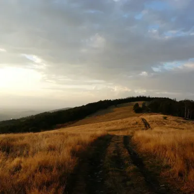 Mountain meadowHala JaworowaBrennaaltitude 870 m15 km from Ostry (Silesian Beskids)Hala Jaworowa, also called Polana Kotarska, is a large meadow in the Silesian Beskids at 820–920 m. It stretches along the side north-western ridge of Kotarz – from...
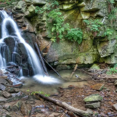 WaterfallRodło Cascades (Biała Wisełka)Wisła18 km from Ostry (Silesian Beskids)The Rodło Cascades (Kaskady Rodła) are a group of about 25 natural waterfalls and rock steps on the Biała Wisełka, one of the streams that give rise to the Vistula.
Craft nearby
All craft places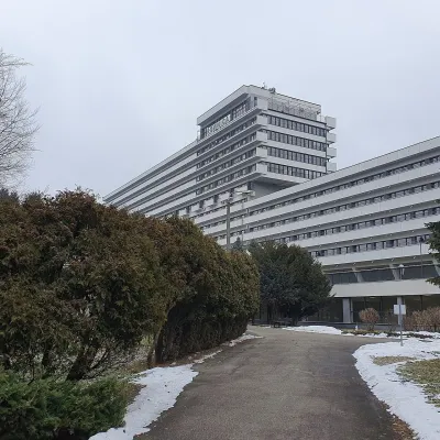 Water parks & thermal poolsUstroń spa: brine, peat and brine poolsUstroń7.2 km from Ostry (Silesian Beskids)Ustroń is the only spa of the Silesian Beskids: the town lies where the Vistula valley leaves the mountains, between the ridges of Równica (884 m) and Czantoria Wielka...
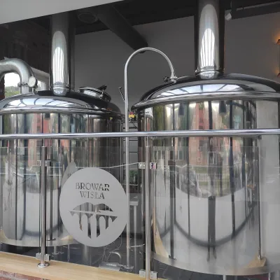 Craft beer & breweriesBrowar Wisła: craft brewpub in Wisła's old railway stationWisła7.8 km from Ostry (Silesian Beskids)Browar Wisła is a brewpub in the heart of the Silesian Beskids, in the spa town of Wisła, where Poland's longest river of the same name rises.
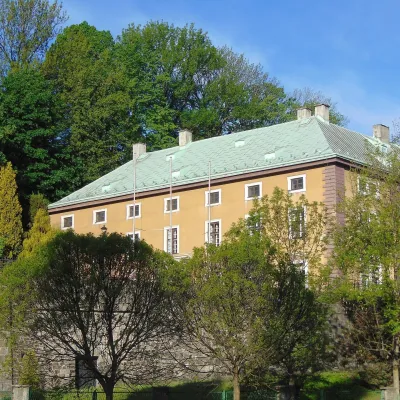 Craft beer & breweriesArchducal Castle Brewery, Cieszyn: 180 years of beer and rock cellarsCieszyn12 km from Ostry (Silesian Beskids)The Archducal Castle Brewery in Cieszyn (Arcyksiążęcy Browar Zamkowy Cieszyn) is one of the oldest working breweries in Poland and one of the most valuable monuments...
 Cheese dairies & pasturesRaková farm in Kysuce: bryndza, žinčica and cheese cakesRaková26 km from Ostry (Silesian Beskids)Kysuce is a hilly region in north-western Slovakia, near the Polish and Czech borders, with scattered hillside hamlets (“kopanice”) and an old tradition of keeping...
 Water parks & thermal poolsAquapark Leśna (Żywiec)Leśna28 km from Ostry (Silesian Beskids)Aquapark Leśna (also called Aquapark Żywiec) is a swimming-pool complex in the village of Leśna, a few kilometres from Żywiec, in the Żywiec Basin, surrounded by the...
 Cheese dairies & pasturesBacówka na Bukowinie, Żabnica: sheep's cheese and alpacasWęgierska Górka28 km from Ostry (Silesian Beskids)Bacówka na Bukowinie stands on a slope above the village of Żabnica, next to Węgierska Górka, where the Żywiec Beskids meet the Silesian Beskids.
