Naroże
Naroże (on the state Geoportal map Narozie) is a wooded summit about 938 m high (939.5 m per OpenStreetMap) on the main ridge of the Polica range. In Jerzy Kondracki's classic regionalisation the range belongs to the Żywiec Beskids, in the newer 2018 scheme to the Żywiec-Orawa Beskids. The summit lies between Soska (1,063 m) and the Malinowe pass (about 850 m). The boundary between the villages of Skawica (northern slope) and Sidzina (southern slope) in Sucha County, Lesser Poland Voivodeship, runs over it; Sidzina is about 4.3 km away and Skawica 6.3 km.
Naroże is a ridge junction: a short ridge with the top called Migasowa Grapa runs south-east from it, flanked by the Jarominów and Migasów streams.
Getting there / trails
The red Main Beskid Trail (GSB) crosses Naroże (about 70 m from the summit per OpenStreetMap) on the section Jordanów – Bystra Podhalańska – Drobny Wierch – Judaszka – Malinowe pass – Naroże – Soska – Krupówka – Urwanica – Okrąglica – Kucałowa pass. Total ascent on this section is 830 m and descent 170 m; it takes about 5 hours (4 h 15 min in the opposite direction). From the Kucałowa pass the trail continues towards the Babia Góra massif.
The shortest approach is from Sidzina: the blue trail via Binkówka climbs to the Malinowe pass (total ascent 730 m, about 1 h 45 min), from where the red trail soon reaches Naroże. On the pass stands an obelisk commemorating partisan fighting in the Second World War, and on the Malinowa clearing on the southern slope there is a chapel of the "Home Army Madonna" and a partisan mausoleum. Further east the Main Beskid Trail passes the PTTK hut on Hala Krupowa, built in 1955 on the site of an interwar PTT hut.
What you can see from the top
The summit is completely forested and the sources describe no views from it.
Nature and name
The names of the neighbouring summits are mixed up on different maps: on the Compass map and in the hiking guide Naroże and Soska are swapped — Naroże, with a height of 1,076 m, is placed where the Geoportal shows Soska, and Soska's position is labelled Naroże. This page describes the summit according to OpenStreetMap and the Geoportal (about 938 m).
The Polica Range
The Polica Range, named after its highest summit, Polica (1369 m), runs for more than 15 km from the Krowiarki pass north-east to the Skawa valley near Osielec; Naroże lies in its eastern, lower part. The range is clearly asymmetric: the northern slopes are very steep, the southern ones gentle. Fields and pastures once climbed high up the slopes; today most of the range is forested and abandoned meadows are overgrowing. The range is part of the Carpathian ecological corridor, one of Poland's two main ecological corridors.
Safety, season and rules
The Main Beskid Trail section over Naroże is an easy forest path that can be walked all year round; in winter the snow is deep, and closer to Babia Góra the weather changes quickly. The summit is not in a national park. Mountain rescue: GOPR, 985 or +48 601 100 300; the general emergency number is 112.
Getting there from Ukraine
Border crossings
- Krakovets – Korczowa — road, 24/7
- Shehyni – Medyka — road, 24/7 Pedestrian crossing is not confirmed by the Ukrainian border service — check dpsu.gov.ua before the trip.
- Smilnytsia – Krościenko — road, 24/7
- Hrushiv – Budomierz — road, 24/7
- Mostyska – Przemyśl (rail) — rail, 24/7
By car
Lviv – Żywiec ≈412 km, ≈5 h 30 min without queues or tolls: M-10 → Krakovets – Korczowa → A4 to Kraków (≈249 km) → DK52 via Wadowice → DW781 and DW946 to Żywiec. ≈333 km, ≈4 h from the border. Alternative via the tolled A4 Kraków – Katowice and the S1 via Tychy and Bielsko-Biała: ≈457 km, ≈5 h 25 min.
Checked 23.10.2026; border crossing hours and timetables change — check before you travel.
Water and shelter nearby
- Spring below Naroże1.5 km · Not verified · 725 m
Comments
Trails nearby
All trails HardMulti-dayMarkedMain Trail of BeskidyElevation profile309–1 723 m499.9 kmascent 19 519 munder 1 km from Naroże
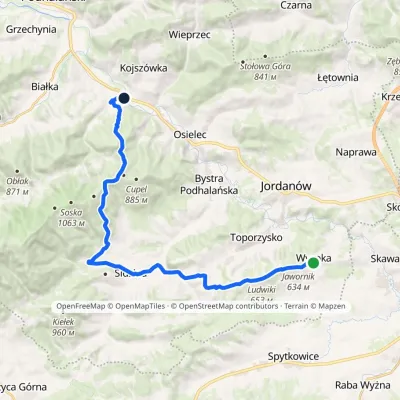 ModerateTwo-dayMarkedWysoka Kojszówka stationElevation profile394–851 m23 kmascent 473 m≈ 6.5 h walkingunder 1 km from Naroże
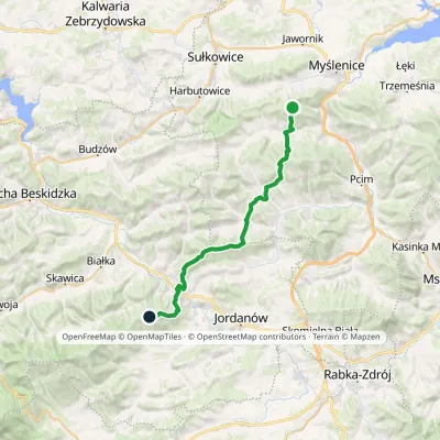 HardMulti-dayMarkedSularzówka CupelElevation profile344–885 m28.5 kmascent 1 440 m≈ 10 h walking1.8 km from Naroże
Nearby attractions
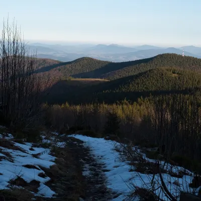 PeakOkrąglica (Polica Range)Skawicaaltitude 1 239 m4.2 km from NarożeOkrąglica (also Krupowa Hala) is a 1,239 m summit in the Polica Range in southern Lesser Poland. In Jerzy Kondracki's physico-geographical regionalisation the range...
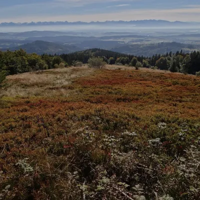 Mountain meadowHala KrupowaSidzinaaltitude 1 152 m4.9 km from NarożeHala Krupowa is a former pasture in the Polica Range (Pasmo Policy) of the Żywiec Beskids (in the newer regionalisation, the Żywiec-Orawa Beskids), above the village...
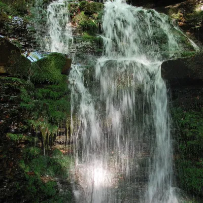 WaterfallWaterfall on the Mosorny PotokZawoja10 km from NarożeThe waterfall on the Mosorny Potok (Wodospad na Mosornym Potoku), also called Mosorczyk, is one of the highest natural waterfalls of the Polish Beskids.
Craft nearby
All craft places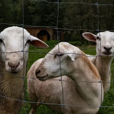 Eco farmsOrawskie Ranczo Educational Farm, Harkabuz: animals and craft workshopsHarkabuz15 km from NarożeOrawskie Ranczo is a small family educational farm (zagroda edukacyjna) in the village of Harkabuz near Raba Wyżna, where Orawa meets Podhale.
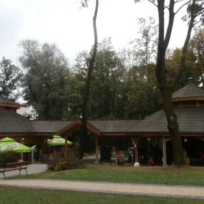 Water parks & thermal poolsRabka-Zdrój spa: brine graduation tower, pump rooms, treatmentsRabka-Zdrój19 km from NarożeRabka-Zdrój is a spa in the Raba valley between the Gorce, the Beskid Wyspowy and the Beskid Makowski, halfway from Kraków to Zakopane.
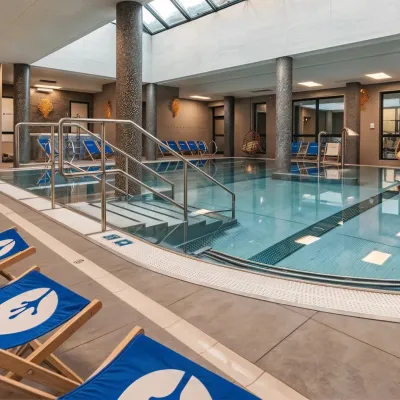 Water parks & thermal poolsTermy Gorce thermal bathsNiedźwiedź27 km from NarożeTermy Gorce is a small, cosy thermal complex in the village of Poręba Wielka, in the municipality of Niedźwiedź, at the foot of the Gorce Mountains.
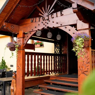 Koliby & Hutsul cuisineKarcma u Borzanka, Nowy Targ: highland food in an 18th-century innNowy Targ31 km from NarożeKarcma u Borzanka is a highland tavern in the oldest coaching inn of Nowy Targ, the capital of Podhale.
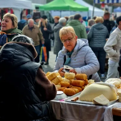 Markets & fairsNowy Targ Fair (Nowa Targowica)Nowy Targ31 km from NarożeThe fair in Nowy Targ is the largest and oldest market in Podhale. On Thursdays and Saturdays highlanders from the surrounding villages, Slovaks from across the border...
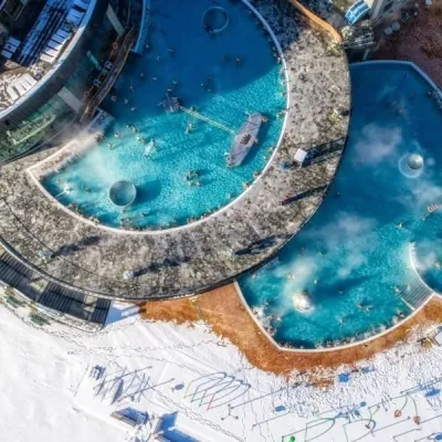 Water parks & thermal poolsChochołowskie TermyChochołów34 km from NarożeChochołowskie Termy stand in the village of Chochołów in the Podhale region, north-west of Zakopane and not far from the Slovak border.
