Šance, school – Chata Studeničný
Trail map
Route, springs and shelters: © OpenStreetMap contributors (ODbL) · elevation: Copernicus DEM © DLR e.V., © Airbus DS · Data & licences
About the trail
Route Šance, school – Chata Studeničný. Has green marking (regional route №5557, cz:KČT,sk:KST). Waymarking data: OpenStreetMap (© OpenStreetMap contributors, ODbL).
Officially marked regional tourist route No. 5557. The marking is green, the sign is a horizontal stripe on a white background. Marked and maintained by: cz:KČT, sk:KST. Length of the route — 12.3 km. Location: mountain range — Moravian-Silesian Beskids, Slovakia.
At a glance
A one-day route of 12.3 km with 423 m of ascent from Šance, school to Chata Studeničný. Estimated walking time: about 4 h, not counting stops. Difficulty: moderate. Waymarking: green.
Route stages
- 0–4 kmGentle ups and downs at 570–630 m
- 4–6 kmDescent of 160 m (down to 464 m)
- 6–7 kmGentle ups and downs at 430–470 m
- 7–9 kmClimb of 180 m to Košariská (618 m)
- 9–11 kmGentle ups and downs at 570–620 m, past Buky
- 11–12 kmClimb of 120 m (up to 691 m)
Steepest kilometre: km 7–8, a climb of 130 m (≈13%), near Košariská.
Water and overnight stays
Our map shows no springs near the trail — bring your own water (at least 2 l).
When to go
The route can be walked most of the year; it is most comfortable from April to October.
Getting there
Start: Šance, school. This is a one-way route: the finish is 4 km from the start in a straight line, so plan your way back in advance.
FAQ
- How long does the route take?
- Estimated walking time: about 4 h, not counting stops.
- Is there water on the route?
- Our map shows no springs near the trail — bring your own water (at least 2 l).
Comments
Trails nearby
All trails
Craft nearby
All craft places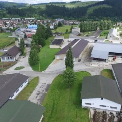 Cheese dairies & pasturesRaková farm in Kysuce: bryndza, žinčica and cheese cakes7.1 km from the trailKysuce is a hilly region in north-western Slovakia, near the Polish and Czech borders, with scattered hillside hamlets (“kopanice”) and an old tradition of keeping...
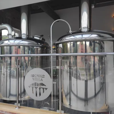 Craft beer & breweriesBrowar Wisła: craft brewpub in Wisła's old railway station19 km from the trailBrowar Wisła is a brewpub in the heart of the Silesian Beskids, in the spa town of Wisła, where Poland's longest river of the same name rises.
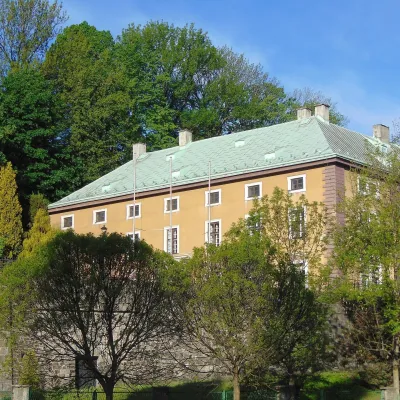 Craft beer & breweriesArchducal Castle Brewery, Cieszyn: 180 years of beer and rock cellars29 km from the trailThe Archducal Castle Brewery in Cieszyn (Arcyksiążęcy Browar Zamkowy Cieszyn) is one of the oldest working breweries in Poland and one of the most valuable monuments...
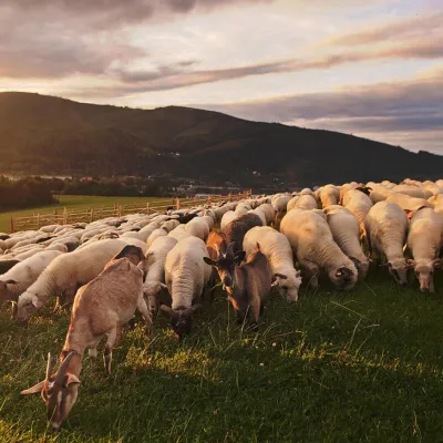 Cheese dairies & pasturesBacówka na Bukowinie, Żabnica: sheep's cheese and alpacas30 km from the trailBacówka na Bukowinie stands on a slope above the village of Żabnica, next to Węgierska Górka, where the Żywiec Beskids meet the Silesian Beskids.
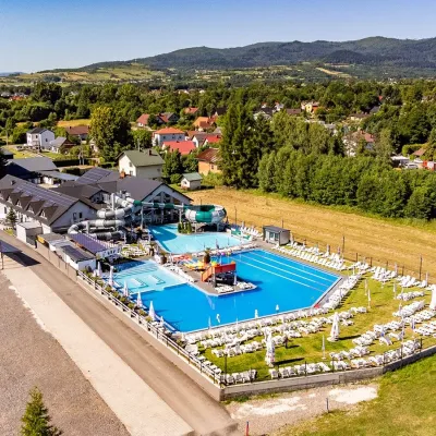 Water parks & thermal poolsAquapark Leśna (Żywiec)35 km from the trailAquapark Leśna (also called Aquapark Żywiec) is a swimming-pool complex in the village of Leśna, a few kilometres from Żywiec, in the Żywiec Basin, surrounded by the...
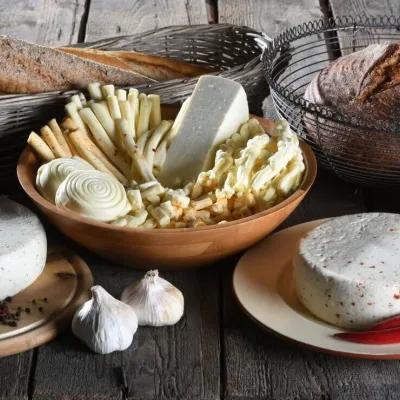 Cheese dairies & pasturesFarma Brezany near Žilina: hand-stretched cheese and a distillery35 km from the trailBrezany is a village a few kilometres south of Žilina, on the edge of the Žilina basin and the foothills leading towards the Rajec valley and the Strážov Hills.
