Szafranówka
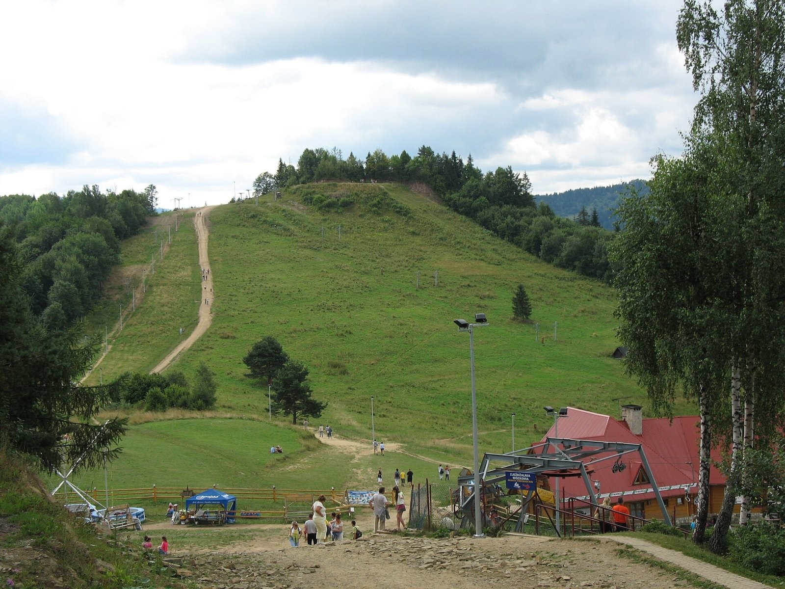
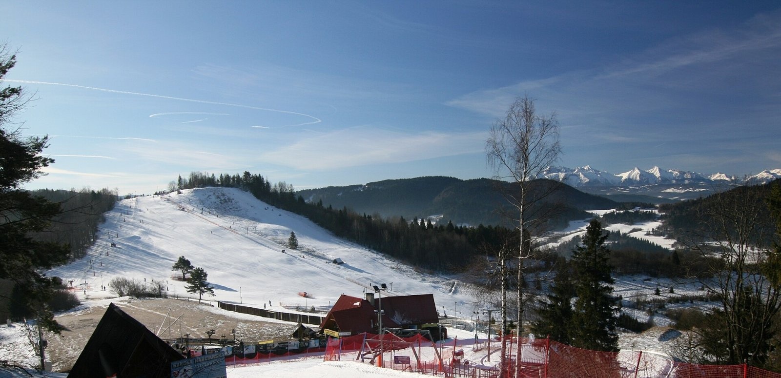
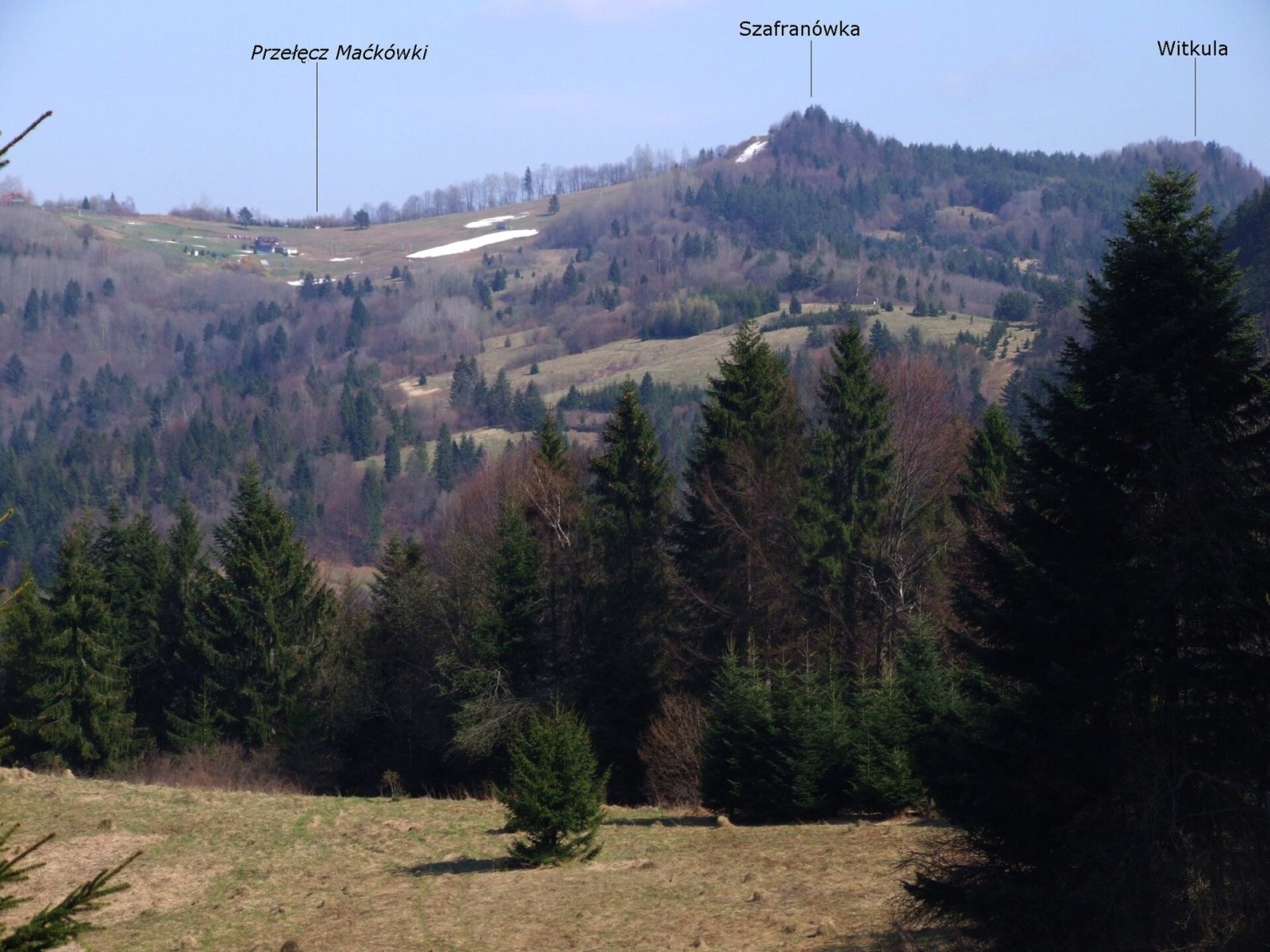
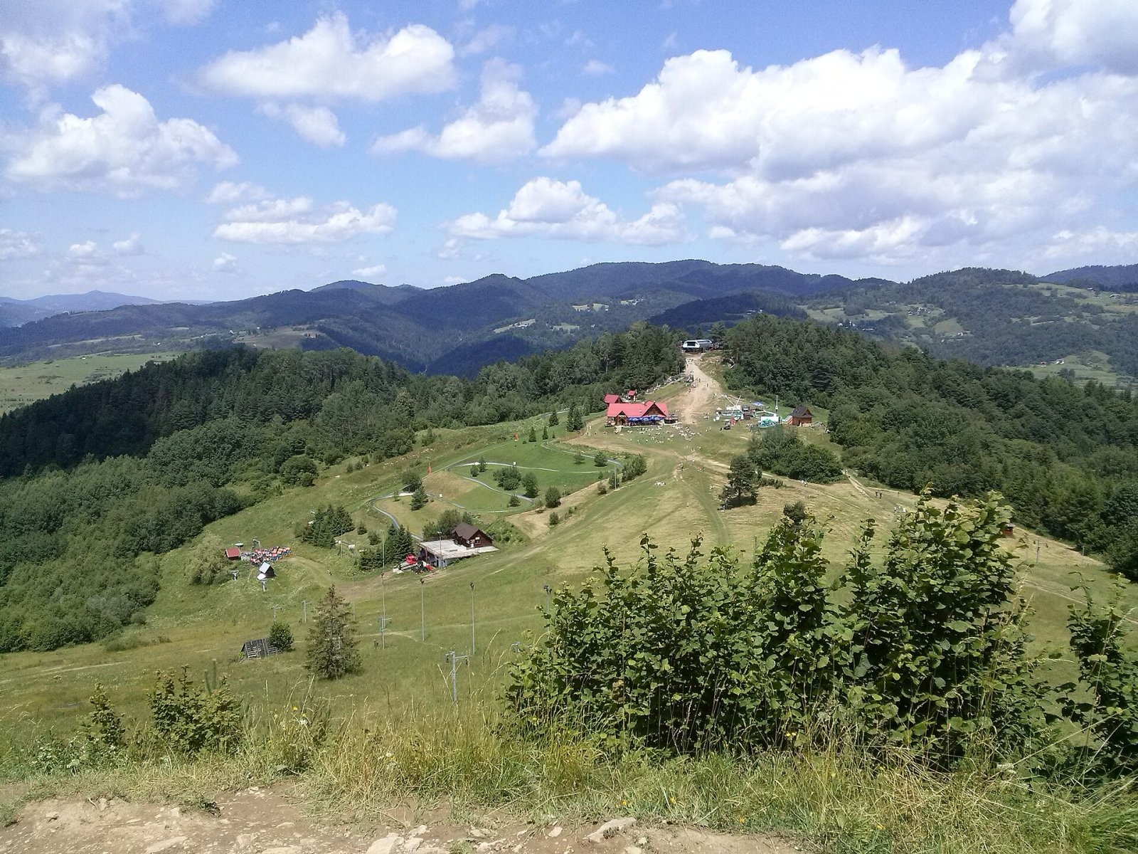
Szafranówka (Slovak: Šafranovka) is a 742 m summit on the main ridge of the Small Pieniny, with the Polish–Slovak border running over its top. The northern slopes belong to the spa town of Szczawnica (Lesser Poland), the southern ones to the village of Lesnica in Slovakia's Prešov Region. The summit lies about 1.4 km from central Szczawnica and roughly 1.5 km from Lesnica. It is one of the easiest tops of the Small Pieniny to reach: the upper station of the Palenica chairlift is only about half a kilometre away.
Some 300 m to the east rises the lower Witkula (736 m); to the west, beyond a fairly deep saddle, stands Bystrzyk (704 m). A side ridge runs north from the summit towards the Grajcarek valley and culminates in Palenica (722 m), separated from Szafranówka by the Maćkówki pass. The southern slopes drain into the Lesnica stream, the northern ones into the Grajcarek and the Dunajec.
How to get there / routes
- Blue — the Main Pieniny Trail (part of the E3 long-distance path and the international Eisenach–Budapest Friendship Trail). From the Pieniny Road above the Dunajec it takes about 1 h 10 min up (55 min down); from the opposite direction, from Wysokie Skałki, about 2 h 20 min. The PTTK Orlica hostel stands near the Pieniny Road.
- Yellow from Szczawnica via Palenica and the Maćkówki pass: about 1 h 10 min up (1 h down). If you take the chairlift to Palenica, Szafranówka is about 15 minutes' walk away.
- Slovak yellow from Lesnica climbs to the saddle west of the summit, from where the blue trail continues to the top; about 1 h 15 min in total (1 h down).
Walking across the border is unrestricted, as both countries are in the Schengen Area, but carry an identity document.
What you can see from the summit
The border summit itself is wooded on the south, so the panorama is partial, but to the north and west you look over the Pieniny, the Gorce and the Radziejowa range of the Sądecki Beskids; on a clear day you can also pick out Mogielica, the highest peak of the Island Beskids. From open spots on the Slovak side the neighbouring Spišská Magura and the Tatras come into view, and below lie Szczawnica and the Grajcarek valley.
Nature and history
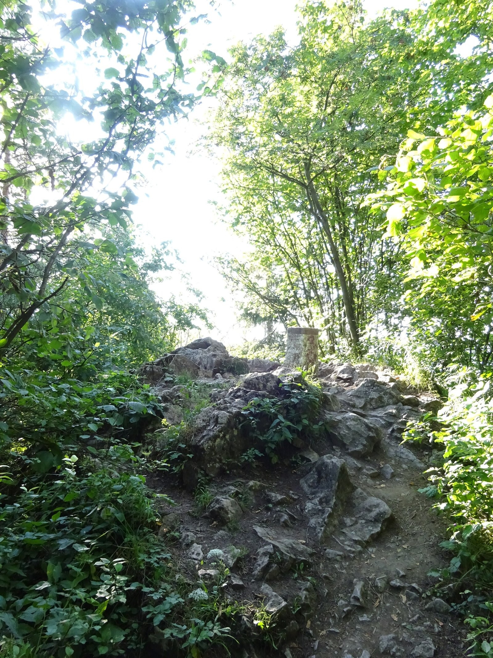
The summit is a sharp rocky crest of crinoidal limestone, typical of the Pieniny Klippen Belt. The slopes are partly covered by hazel and grey alder scrub. There is a rock shaft about 3 m deep in the slope (said to have once been deeper), and the name of the Zabaniska stream valley to the north-east probably recalls old mining — a mine used to be called a "bania". The Palenica ski area with a T-bar lift lies on the northern slopes. The Polish part of the summit is outside Pieniny National Park, while the southern slopes belong to the Slovak PIENAP national park. Rare Polish plants recorded here include the black cotoneaster and the narrow-leaved inula.
Safety, season and rules
The routes to Szafranówka are short and technically easy and are walked all year round. The crest is rocky, though, and after rain the limestone and clay patches become slippery, so wear shoes with a good grip. Do not linger on the open ridge during a thunderstorm. On the Slovak side PIENAP national park rules apply: stay on marked trails.
The Polish Pieniny are covered by the mountain rescue service GOPR (Podhale Group, with sections in Szczawnica and Krościenko): call 985 or +48 601 100 300, or 112; the "Ratunek" app is worth installing. On the Slovak side call the Mountain Rescue Service HZS on 18 300 (+421 18 300) or 112.
Interesting facts
- Szafranówka is the junction from which the Palenica ridge branches off, which is why Polish and Slovak trails meet here.
- Polish sources also give the name variant "Safronówka" and a height of 741 m.
Photos: Mariusz Rzepkowski (MariuszR), CC BY-SA 2.5; Happa111, CC BY 3.0; Jerzy Opioła, CC BY-SA 4.0; Mach240390, CC BY 4.0; Szydzio, CC BY-SA 4.0; Andrzej Otrębski, CC BY-SA 4.0 — Wikimedia Commons.
Getting there from Ukraine
Border crossings
- Krakovets – Korczowa — road, 24/7
- Shehyni – Medyka — road, 24/7 Pedestrian crossing is not confirmed by the Ukrainian border service — check dpsu.gov.ua before the trip.
- Smilnytsia – Krościenko — road, 24/7
- Hrushiv – Budomierz — road, 24/7
- Mostyska – Przemyśl (rail) — rail, 24/7
By car
Lviv – Szczawnica ≈384 km, ≈5 h 25 min without queues: M-10 → Krakovets – Korczowa → A4 to Brzesko (≈198 km) → DK75 to Nowy Sącz → DW969 via Stary Sącz and Łącko to Krościenko nad Dunajcem → Szczawnica. ≈306 km, ≈4 h from the border.
Checked 23.10.2026; border crossing hours and timetables change — check before you travel.
Location on the map
Water and shelter nearby
- Drinking water below Niżny Groń1.3 km · Has water · 475 m
- Szymon Tap1.3 km · Not verified · 460 m
- Orlica Hut1.4 km · Standing · 457 m
- Spring below Biała Skała1.6 km · Not verified · 438 m
- Wanda Spring, 497 m1.7 km · Not verified · 497 m
- Magdalena Mineral Spring1.7 km · Not verified · 519 m
- Waleryi Mineral Spring1.8 km · Not verified · 526 m
- Drinking water below Bryjarka1.9 km · Not verified · 526 m
- Hut below Cyrhle2.1 km · Not verified · 734 m
- Pitoniakówka Mineral Spring2.2 km · Has water · 485 m
- Drinking water below Długi Gronik2.5 km · Not verified · 487 m
- Schronisko PTTK pod Bereśnikiem2.9 km · Standing · 755 m
Comments
Trails via Szafranówka
All 1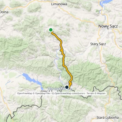
Nearby attractions
 PeakPalenicaaltitude 722 munder 1 km from Szafranówka1 trail to the topPalenica is a 722 m summit in the Small Pieniny, rising directly above the spa town of Szczawnica in southern Poland.
 Markets & fairsAutumn Redyk in Szczawnica: sheep drive, oscypek and shepherds1.5 km from SzafranówkaRedyk is an old Carpathian shepherding custom: in spring the flocks are driven up to the mountain pastures (hale), and in autumn, after the cheese-making season, they...
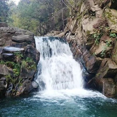 WaterfallZaskalnik Falls3.2 km from SzafranówkaZaskalnik is a small but very picturesque waterfall on the Sopotnicki stream (Sopotnicki Potok) near the spa town of Szczawnica.
Craft nearby
All craft places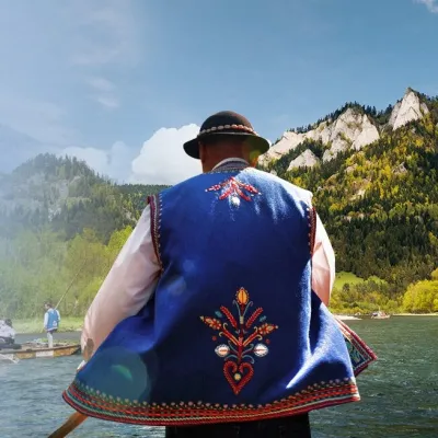 Ethno tours & guidesGoral raftsmen of Červený Kláštor: wooden-raft trip on the Dunajec4.9 km from SzafranówkaBetween Červený Kláštor and Lesnica the Dunajec cuts a deep, winding gorge through the limestone Pieniny, and here the river becomes the border between Slovakia and...
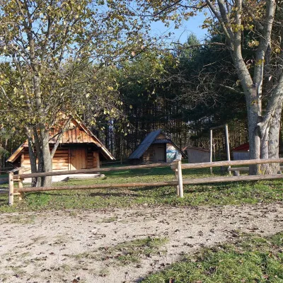 Cheese dairies & pasturesMajerz Meadow Shepherd's Hut, Pieniny National Park: oscypek and żętyca11 km from SzafranówkaMajerz meadow (hala) sits on a 689 m hill between Czorsztyn-Nadzamcze and the village of Hałuszowa, above Lake Czorsztyn.
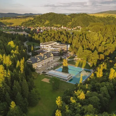 Water parks & thermal poolsVyšné Ružbachy Spa: Izabela Mountain Pools and Indoor Thermal Pool13 km from SzafranówkaVyšné Ružbachy is one of Slovakia’s oldest spas. It lies on the south-eastern slope of the Spišská Magura at about 617 m, surrounded by coniferous forest that merges...
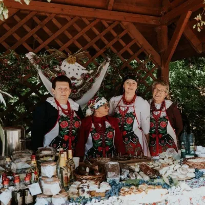 Markets & fairsFruit Harvest Festival in Łącko: village stands, fruit and folklore17 km from SzafranówkaŁącko, in the Dunajec valley between Stary Sącz and the Pieniny, is one of Poland's best-known fruit-growing areas: the slopes around are covered with apple, pear and...
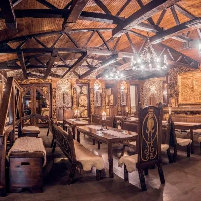 Craft producersNestville Distillery, Hniezdne — Home of the First Slovak Whisky17 km from SzafranówkaThis tradition is the basis for BGV, a company founded in 2001, which built the Nestville Distillery here.
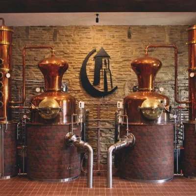 Craft producersCastle Distillery below Ľubovňa Castle: fruit spirits and tastings19 km from SzafranówkaStará Ľubovňa is a town in northern Spiš, overlooked by Ľubovňa Castle. For more than three and a half centuries Ľubovňa was one of the Spiš towns pledged to the...
