Tarnica
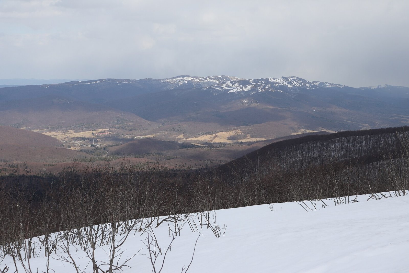
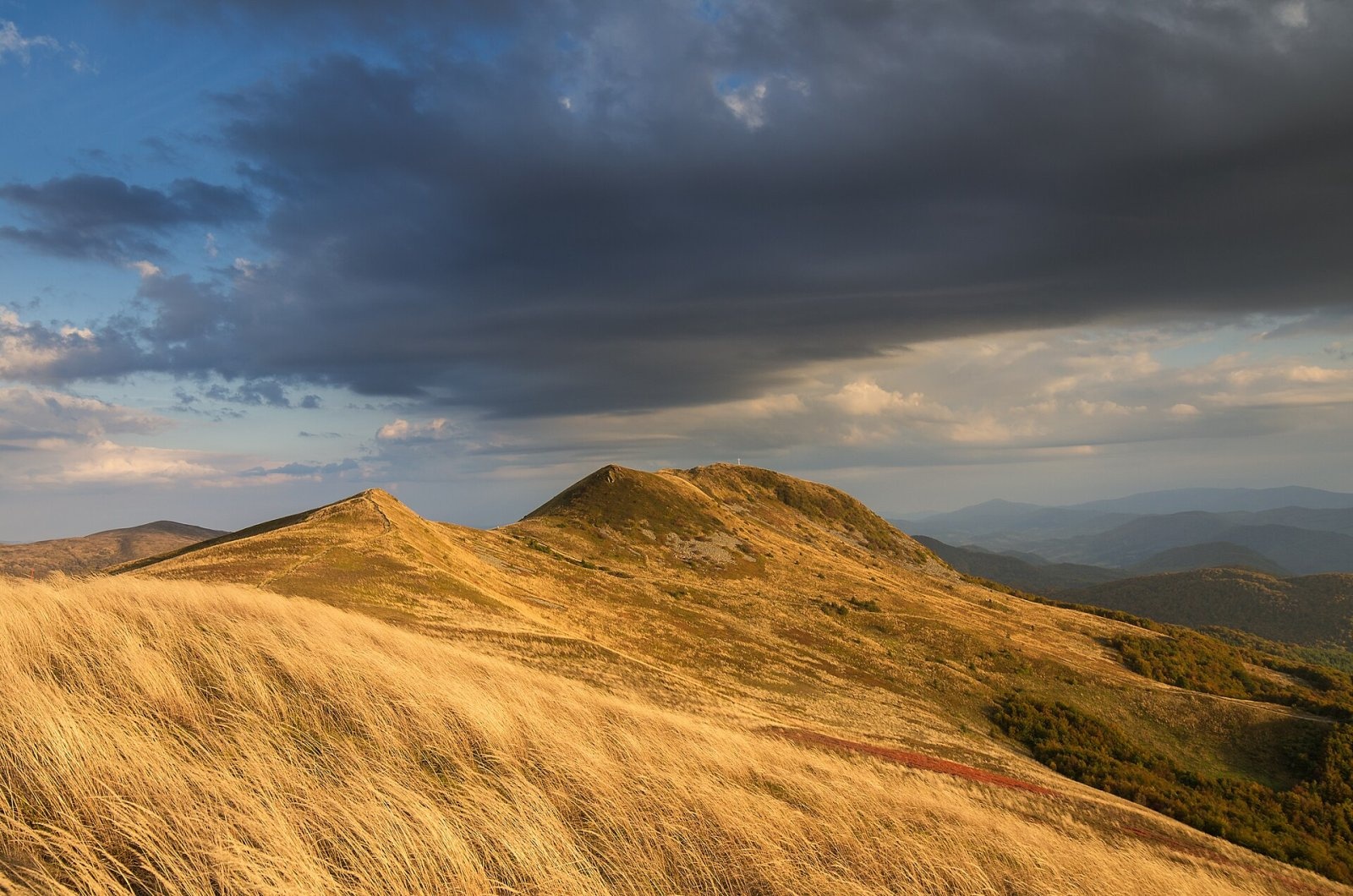
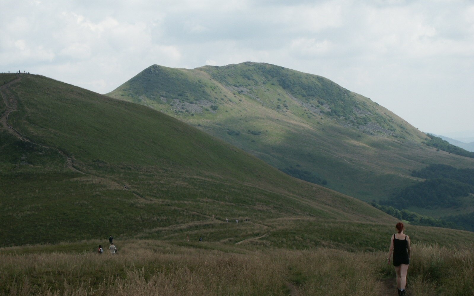
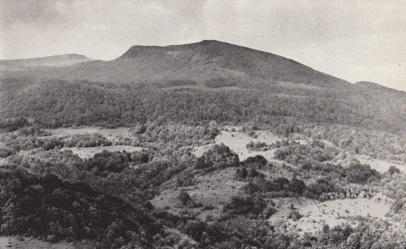
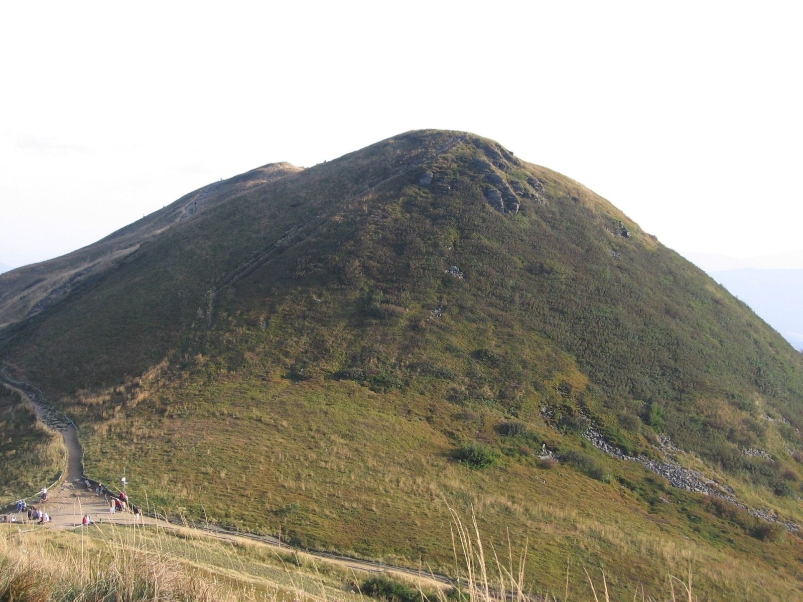
Tarnica is the highest peak of the Polish Bieszczady and of the whole Subcarpathian Voivodeship, rising to 1,346 m. It belongs to the so-called Tarnica and Halicz group – the cluster of the highest summits at the south-eastern end of the połonina range, inside Bieszczady National Park. The summit is about 3.3 km from the village of Wołosate in the Wołosatka valley and about 6.6 km from Ustrzyki Górne. Tarnica is one of the Crown of Polish Mountains – the list of the highest peaks of every Polish mountain range.
The mountain towers more than 500 m above the Wołosatka valley and is easy to recognise: its narrow, sharp, slightly elongated ridge carries two distinct tops – the main one (1,346 m) and a lower one (1,339 m). The deep Goprowska Pass separates Tarnica from the Krzemień massif, while a sharply cut saddle of about 1,286 m – the pass below Tarnica – links it with Szeroki Wierch.
Getting there / trails
- Blue trail from Wołosate – the shortest and steepest way: about 2 h from Wołosate to the pass below Tarnica (1 h 10 min down). The park's «Wołosate – Tarnica» nature and history trail follows it.
- Red trail – the Main Beskid Trail (part of the European route E8) from Ustrzyki Górne over the meadows of Szeroki Wierch: about 3 h to the pass (2 h 15 min down). This is a particularly scenic section.
- From the pass a short yellow spur leads to the summit – about 15 min.
Tarnica is easy to combine with its neighbours: from Halicz the red trail reaches the pass below Tarnica in about 1 h 15 min, and from Bukowe Berdo the blue trail via Krzemień takes about 1 h 40 min. The park opens the trail network of the Tarnica and Halicz group through four entry points with ticket offices: Wołosate, Ustrzyki Górne (towards Szeroki Wierch), Pszczeliny (towards Bukowe Berdo) and Muczne.
The view from the summit
Tarnica is regarded as the best viewpoint of the Polish Bieszczady. Besides the nearby ridges – Połonina Caryńska, Połonina Wetlińska, Halicz and Krzemień – on clear days you can see the Tatras, the Gorgany, Ostra Hora, Polonyna Rivna, Polonyna Krasna and the Svydovets range. In exceptionally clear air even the Vihorlat-Gutin range and distant Romanian mountains such as the Rodna can be made out.
Nature and history
The slopes are covered with boulder fields; on the south the summit drops in a high rock wall with large scree fields below it. Remains of wartime trenches survive on the ridge. The name is linked to the Romanian word «tarnița» – a saddle or pass – which fits the deep notch below the summit. Among the plants rare in Poland, a broomrape that parasitises wild thyme has been recorded here.
The main top carries a survey point and a large cross. The first one, seven metres tall, was erected in 1987 to commemorate the visit of Father Karol Wojtyła on 5 August 1953. It broke in spring 2000, and the same year pilgrims carried up, in parts, a new steel cross about 8.5 m tall and weighing around 500 kg. Next to the yellow trail, a few dozen metres from the summit, was the entrance to the Tarnica Cave; it was filled in in 2008 for visitors' safety.
Safety, season and rules
The summit is fully exposed to the wind: weather on the meadows changes quickly, summer storms are frequent and autumn brings fog. In winter the trails can be icy, so the park recommends crampons and suitable clothing. Leaving the marked trails is prohibited.
The whole summit lies within Bieszczady National Park. Under the park rules in force since 14 April 2026, entry to the trails is charged all year: a ticket costs 11 zł (reduced 5.5 zł, children under 7 free), is sold at the pay points by the trailheads or online, and is valid on all park trails on the same day. Walking is allowed on marked trails only and only between sunrise and sunset – night hiking is prohibited. Dogs are not allowed on the trails (except a few short sections, on a lead and muzzled); flying drones and leaving litter are also banned.
The Bieszczady are covered by the Bieszczady Group of the mountain rescue service GOPR (station in Ustrzyki Górne): call 985 or +48 601 100 300, or the general number 112; installing the «Ratunek» app is recommended. In winter the park advises reporting longer planned routes to the GOPR station in Ustrzyki Górne.
Interesting facts
- Tarnica is the fifth-highest peak of the Crown of Polish Mountains.
- The new summit cross was consecrated by Bishop Adam Dyczkowski on 16 September 2000.
- In Bieszczady National Park documents the saddle below the summit is officially called Krygowski Pass (Przełęcz Krygowskiego).
Photos: Andrzej Otrębski, CC BY-SA 4.0; Mirek Pruchnicki from Przemyśl, Sanok, Polska, CC BY 2.0; Michał Derela, CC BY-SA 3.0; Tadeusz Sumiński, Public domain; PM, Public domain; Hanc Tomasz, CC BY-SA 3.0 — Wikimedia Commons.
Getting there from Ukraine
Border crossings
- Krakovets – Korczowa — road, 24/7
- Shehyni – Medyka — road, 24/7 Pedestrian crossing is not confirmed by the Ukrainian border service — check dpsu.gov.ua before the trip.
- Smilnytsia – Krościenko — road, 24/7
- Hrushiv – Budomierz — road, 24/7
- Mostyska – Przemyśl (rail) — rail, 24/7
By car
Lviv – Sanok ≈168 km, ≈3 h 20 min without queues: road to Shehyni → Shehyni – Medyka checkpoint → Przemyśl → DK28 via Bircza to Sanok (≈83 km, ≈1 h 45 min from the border). Alternative via Krakovets – Korczowa: A4 to the Radymno exit, DK77 to Przemyśl and DK28 (≈185 km from Lviv, ≈3 h 25 min). For the Bieszczady proper, Smilnytsia – Krościenko is handier: Lviv – Sambir – Staryi Sambir – border, then DK84 via Ustrzyki Dolne to Sanok (≈203 km, ≈5 h; ≈57 km from the border). From Krościenko to Ustrzyki Górne by DW896 ≈53 km (≈1 h 40 min; ≈200 km and ≈4 h 50 min from Lviv), to Wetlina by DW896 and DW897 ≈69 km (≈216 km and ≈5 h from Lviv). From Sanok: Ustrzyki Górne ≈82 km (DK84 via Lesko, then DW896, ≈1 h 35 min), Wetlina ≈72 km (DK84 to Lesko, DW894 via Baligród and Cisna, DW897, ≈1 h 20 min).
Checked 23.10.2026; border crossing hours and timetables change — check before you travel.
Location on the map
Water and shelter nearby
- Spring below Tarniczka (north-east slope)720 m · Not verified · 1 197 m
- Spring below Tarniczka (north slope)830 m · Not verified · 1 185 m
- Spring below Krzemień1.5 km · Not verified · 1 206 m
Comments
Trails nearby
All trails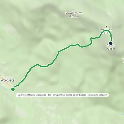 EasyOne-dayMarkedNature and Historical Trail Wołosate TarnicaElevation profile739–1 346 m4.3 kmascent 607 m≈ 2.5 h walkingunder 1 km from Tarnica
 HardMulti-dayMarkedMain Trail of BeskidyElevation profile309–1 723 m499.9 kmascent 19 519 munder 1 km from Tarnica
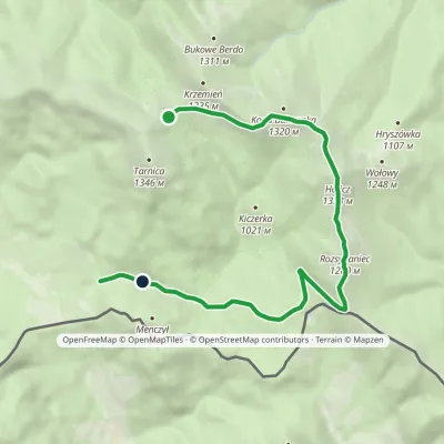 EasyOne-dayMarkedNature Trail Rozsypaniec KrzemieńElevation profile782–1 333 m11.3 kmascent 265 m≈ 3.5 h walkingunder 1 km from Tarnica
Nearby attractions
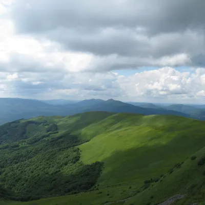 PeakSzeroki Wierchaltitude 1 268 m1.5 km from TarnicaSzeroki Wierch («Broad Top») is a mountain massif in the połonina range of the Western Bieszczady, the western wing of the Tarnica group in Bieszczady National Park.
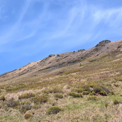 PeakKrzemieńaltitude 1 335 m1.5 km from TarnicaKrzemień is a 1,335 m mountain, the second-highest peak of the Polish Bieszczady and of the whole Western Bieszczady after Tarnica.
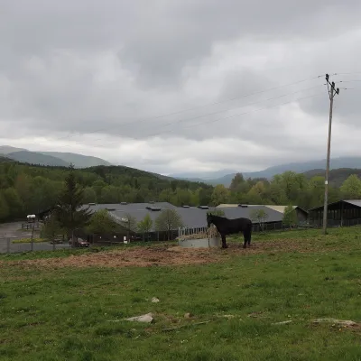 Horse ridingHucul Horse Stud in Wołosate, Bieszczady National Park3.6 km from TarnicaWołosate is the southernmost inhabited village in Poland, tucked away in the valley of the Wołosatka stream below Tarnica, the highest peak of the Polish Bieszczady.
Craft nearby
All craft places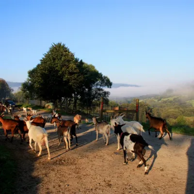 Cheese dairies & pasturesBieszczadzka Koza Goat Cheese Farm, Smolnik15 km from TarnicaBieszczadzka Koza ("the Bieszczady Goat") is a family goat farm and artisan cheese dairy in the village of Smolnik on the San, in the eastern Polish Bieszczady, right...
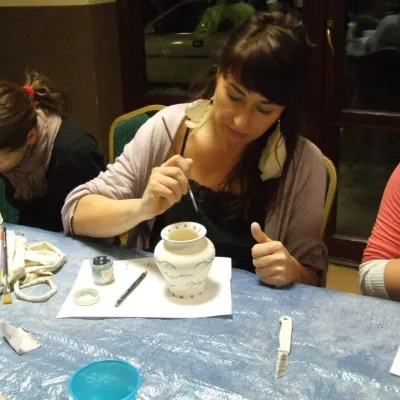 Crafts & workshopsGaleria Barak, Czarna: Bieszczady ceramics and workshops28 km from TarnicaGaleria Barak in the village of Czarna near Ustrzyki Dolne is the first private art gallery in the Bieszczady, and its story deserves telling.
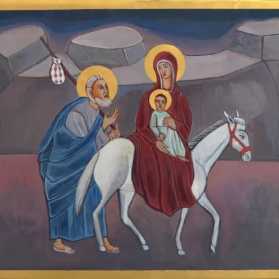 Crafts & workshopsVeraikon Icon Studio, Cisna: Carpathian icons and workshops32 km from TarnicaThe Veraikon Icon Studio (Pracownia Ikon Veraikon) in Cisna is, in its owners' words, the oldest and largest icon studio in the Bieszczady.
