Polica – Stare Wierchy
Trail map
Route, springs and shelters: © OpenStreetMap contributors (ODbL) · elevation: Copernicus DEM © DLR e.V., © Airbus DS · Data & licences
About the trail
Route Polica – Stare Wierchy. Has blue marking (regional route, PTTK). Waymarking data: OpenStreetMap (© OpenStreetMap contributors, ODbL).
Officially marked regional tourist route. Marking is blue, sign — horizontal stripe on a white background. Marked and maintained by: PTTK. Length of the route — 44 km. Location: mountain range — Żywiec Beskids, Poland.
At a glance
A route of 44 km with 1,099 m of ascent from Polica to Stare Wierchy. Estimated walking time: about 13 h, not counting stops — a very long day, so it is easier split into 2 days. Difficulty: hard. Waymarking: blue.
Route stages
- 0–4 kmDescent of 460 m to Zubrzycka Pass
- 4–44 kmGentle ups and downs at 680–980 m, past Kieczura, Leszczak, Obidowa, Jaworzyna
Steepest kilometre: km 2–3, a descent of 210 m (≈21%), near Czernic.
Water and overnight stays
A spring near the trail: at km 15. There are no springs between km 15 and 44 — carry at least 4.5 l of water.
Huts and shelters near the trail: PTTK Hut on Stare Wierchy (km 44).
A possible split into days:
- Day 1: km 0–22, ≈6.5 h — overnight: no shelter nearby on the map, bring a tent
- Day 2: km 22–44, ≈6.5 h — finish
When to go
Best time: May to October. In winter deep snow is possible, so experience and winter gear are needed.
Getting there
Start: Polica. This is a one-way route: the finish is 31 km from the start in a straight line, so plan your way back in advance.
FAQ
- How long does the route take?
- Estimated walking time: about 13 h, not counting stops — a very long day, so it is easier split into 2 days.
- Is there water on the route?
- A spring near the trail: at km 15. There are no springs between km 15 and 44 — carry at least 4.5 l of water.
- Where can I stay overnight?
- Huts and shelters near the trail: PTTK Hut on Stare Wierchy (km 44).
Water and shelter on the route
- Spring below Niedźwiedzia Górakm 15.2 from the start · 160 m off the path · Not verified · 700 m
- PTTK Hut on Stare Wierchykm 43.9 from the start · Standing · 968 m
Comments
Trails nearby
All trails HardMulti-dayMarkedMain Trail of BeskidyElevation profile309–1 723 m499.9 kmascent 19 519 m
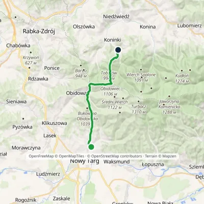 ModerateOne-dayMarkedKoninki Kowaniecvia Stare WierchyElevation profile604–1 107 m14.3 kmascent 721 m≈ 5 h walking
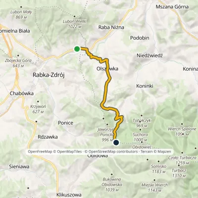 ModerateOne-dayMarkedRabka Zaryte Stare WierchyElevation profile436–970 m13 kmascent 716 m≈ 4.5 h walking
Craft nearby
All craft places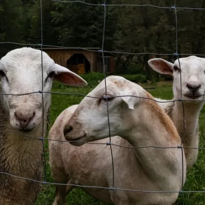 Eco farmsOrawskie Ranczo Educational Farm, Harkabuz: animals and craft workshopsHarkabuz18 km from the trailOrawskie Ranczo is a small family educational farm (zagroda edukacyjna) in the village of Harkabuz near Raba Wyżna, where Orawa meets Podhale.
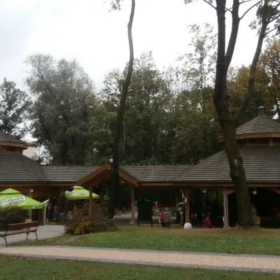 Water parks & thermal poolsRabka-Zdrój spa: brine graduation tower, pump rooms, treatmentsRabka-Zdrój24 km from the trailRabka-Zdrój is a spa in the Raba valley between the Gorce, the Beskid Wyspowy and the Beskid Makowski, halfway from Kraków to Zakopane.
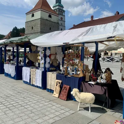 Markets & fairsFolk Art Fair in Żywiec during the Beskidy Week of CultureŻywiec31 km from the trailThe Beskidy Highlanders' Week of Culture (Tydzień Kultury Beskidzkiej, TKB) is Poland's largest folklore festival: it was first held in Wisła in 1964, and today, at...
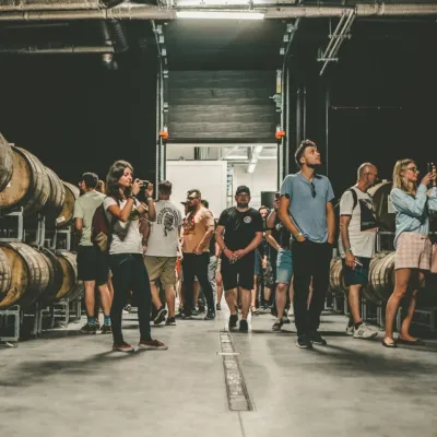 Craft beer & breweriesPINTA Brewery, Wieprz near Żywiec: tours and taproomWieprz32 km from the trailPINTA is the brewery that Poles associate with the start of the “beer revolution”; it calls itself the country's first craft brewery.
 Water parks & thermal poolsTermy Gorce thermal bathsNiedźwiedź33 km from the trailTermy Gorce is a small, cosy thermal complex in the village of Poręba Wielka, in the municipality of Niedźwiedź, at the foot of the Gorce Mountains.
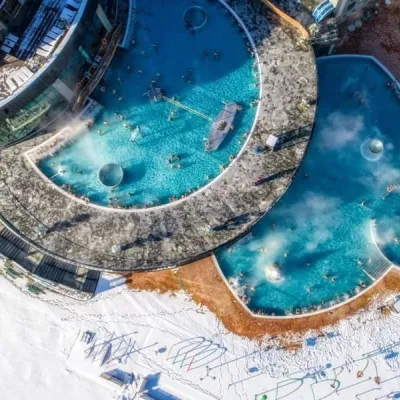 Water parks & thermal poolsChochołowskie TermyChochołów34 km from the trailChochołowskie Termy stand in the village of Chochołów in the Podhale region, north-west of Zakopane and not far from the Slovak border.
