Bystrytsia village — to Yaremche, via Mount Vedmezhyk, Mount Dovbushanka, Divochi Slozy Waterfall
Unmarked trailmore
It may be partly marked. Unmarked trails have no information boards, signposts or auxiliary signs (water, campsite, etc.). The decision to walk the trail is entirely your own responsibility.
Trail map
Where to stay nearby
About the trail
Route Bystrytsia village, via Mount Vedmezhyk, Mount Dovbushanka and Divochi Slozy Waterfall to Yaremche. Along the route you will see: Mount Vedmezhik, Dovbushanka Mountain, Waterfall Maiden's Tears, Yaremche, Park-museum Carpathians in miniature, Yaremche, Probiy waterfall, Yaremche, Hutsul souvenir market, Yaremche and 9 more.
At a glance
A route of 33.8 km with 1,676 m of ascent from Bystrytsia village to Yaremche. Estimated walking time: about 11 h, not counting stops — a very long day, so it is easier split into 2 days. Difficulty: hard. Waymarking is missing or partial.
Route stages
- 0–9 kmGentle ups and downs at 720–1,000 m
- 9–12 kmClimb of 630 m (up to 1,619 m)
- 12–16 kmAlong the ridge at 1,610–1,720 m, past Mount Vedmezhik, Dovbushanka Mountain
- 16–18 kmDescent of 590 m (down to 1,073 m)
- 18–27 kmGentle ups and downs at 880–1,080 m
- 27–34 kmDescent of 480 m to Yaremche
Steepest kilometre: km 11–12, a climb of 330 m (≈33%).
Water and overnight stays
Springs near the trail: at km 12, 21, 25, 28, 29, 31 and 32. There are no springs between km 0 and 12 — carry at least 2.5 l of water.
Huts and shelters near the trail: Hut by the Ozirnyi stream (km 10), Hut below Mount Malyi Horhan (2) (km 21), Hut “Ilma” (km 21), Hut (Polianytsia (Bukovel), 2) (km 22), Hut at Bukovets (km 24). Places to stay near the finish: Yaremche.
A possible split into days:
- Day 1: km 0–15, ≈5.5 h — overnight: no shelter nearby on the map, bring a tent
- Day 2: km 15–34, ≈5.5 h — finish
When to go
Best time: June to September. In winter only for experienced hikers with proper gear: avalanche danger is possible. About 5 km of the route runs above 1,500 m, where the weather changes quickly — check the forecast.
Getting there
Start: Bystrytsia village. This is a one-way route: the finish is 22 km from the start in a straight line, so plan your way back in advance.
FAQ
- How long does the route take?
- Estimated walking time: about 11 h, not counting stops — a very long day, so it is easier split into 2 days.
- Is there water on the route?
- Springs near the trail: at km 12, 21, 25, 28, 29, 31 and 32. There are no springs between km 0 and 12 — carry at least 2.5 l of water.
- Where can I stay overnight?
- Huts and shelters near the trail: Hut by the Ozirnyi stream (km 10), Hut below Mount Malyi Horhan (2) (km 21), Hut “Ilma” (km 21), Hut (Polianytsia (Bukovel), 2) (km 22), Hut at Bukovets (km 24). Places to stay near the finish: Yaremche.
Water and shelter on the route
- Hut by the Ozirnyi streamkm 9.5 from the start · Not verified · 1 005 m
- Spring below Mount Vedmezhyk (3)km 11.6 from the start · 110 m off the path · Not verified · 1 456 m
- Spring below Mount Malyi Horhankm 20.3 from the start · 180 m off the path · Not verified · 988 m
- Hut below Mount Malyi Horhan (2)km 20.4 from the start · 70 m off the path · Not verified · 968 m
- Hut “Ilma”km 21.2 from the start · 50 m off the path · Not verified · 928 m
- Hut (Polianytsia (Bukovel), 2)km 22.2 from the start · 90 m off the path · Not verified · 908 m
- Hut at Bukovetskm 24.1 from the start · 200 m off the path · Not verified · 859 m
- Spring (Polianytsia (Bukovel), 14)km 24.8 from the start · 170 m off the path · Not verified · 877 m
- Kruhla springkm 27.6 from the start · 110 m off the path · Not verified · 857 m
- Spring (Yaremche, 4)km 28.8 from the start · Not verified · 707 m
- Spring (Yaremche, 7)km 30.4 from the start · Not verified · 616 m
- Zhinka springkm 31.8 from the start · Not verified · 537 m
Comments
What to see on the trail
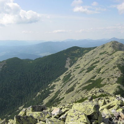 Mount Vedmezhikaltitude 1 737 mMount Vedmezhyk is a massive 1,737-meter peak of the Ukrainian Carpathians, located on the Dovbushansky ridge of the Horhan mountain range.
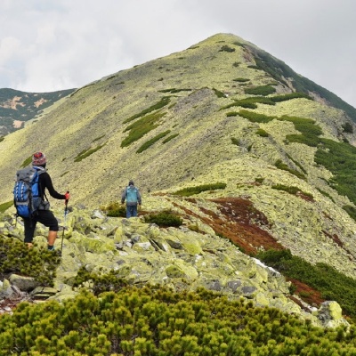 Dovbushanka Mountainaltitude 1 754 mMount Dovbushanka is a 1,754-meter peak of the Ukrainian Carpathians, located in the Gorgan mountain range on the ridge of the same name.
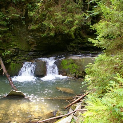 Waterfall Maiden's Tears, Yaremchealtitude 539 mMaiden's Tears is a waterfall in the Ukrainian Carpathians (Gorgany massif). It is located within the Yaremche City Council of Ivano-Frankivsk...
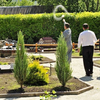 Park-museum Carpathians in miniature, Yaremchealtitude 539 mA unique park-museum "Carpathians in Miniature" was created in Yaremche, which reflects in detail the architectural monuments and cultural heritage...
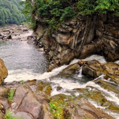 Probiy waterfall, Yaremchealtitude 529 mProbiy Waterfall is located in the heart of the Carpathian Mountains, in the city of Yaremche.
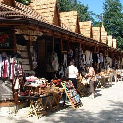 Hutsul souvenir market, Yaremchealtitude 539 mYaremche is undoubtedly the center of Hutsul crafts, and everyone knows it. The Hutsuls are an ancient and at the same time interesting ethnic...
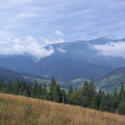 Carpathian National Nature Parkaltitude 539 mThe Carpathian National Nature Park is located on the territory of Yaremche City Council and Verkhovyna district of Ivano-Frankivsk region.
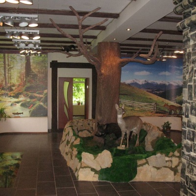 Ecotourism visit center, Yaremchealtitude 539 mThe Ecotourism Visitor Center in Yaremcheis one of the best and most unique tourist information centers in Ukraine.
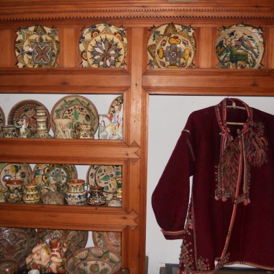 Ukrainian Antiquities Museum, Yaremchealtitude 539 mThe truly unique exposition collected in the funds of the Ethnographic Museum "Ukrainian Antiquity" recreates the daily life of the Boyky, Lemkos,...
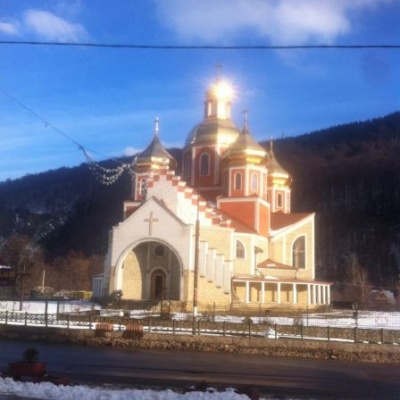 Church of the Nativity of John the Baptist, Yaremchealtitude 539 mIn the center of the resort town of Yaremche, the Church of the Nativity of John the Baptist shines majestically with its gilded domes.
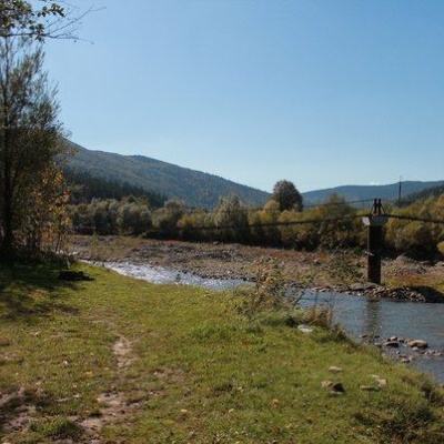 Glade of Love, Yaremchealtitude 539 mThe Carpathians never cease to amaze both beginners who first plunged into the magical world of these mountains and experienced tourists, because...
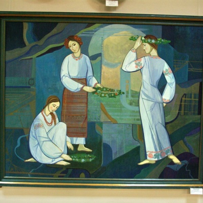 Museum of Ecology and Ethnography of the Carpathian Region, Yaremchealtitude 539 mThe Museum of Ethnography and Ecology was founded quite recently, but it has already won the sympathy of local Yaremche residents and tourists who...
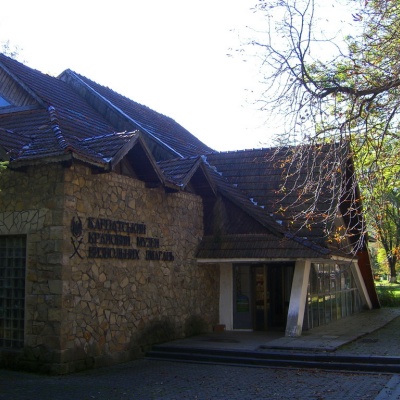 Carpathian Regional Museum of the Liberation Movementaltitude 539 mThe museum was founded in 1963 and was then called the Museum of Partisan Glory. Initially, it was an ordinary building, but later, in August 1968,...
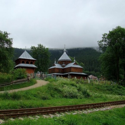 Church of the Assumption of the Blessed Virgin Mary, Yaremchealtitude 539 mThe city of Yaremche was first mentioned in written records in 1787. According to one of the legends, the name of the city comes from the name of...
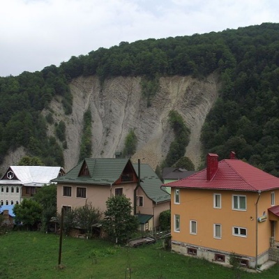 Elephant Rock, Yaremchealtitude 539 mThe ElephantRock belongs to the Gorgany mountain system. It is located on the Prut River to the east of the central part of Yaremche. ...
Trails nearby
All trails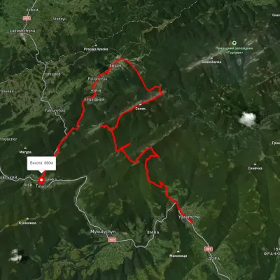 HardMulti-dayUnmarkedYaremche to Tatariv villagevia the Yavirnyk ridge, Zhenetskyi Huk Waterfall +4Elevation profile510–1 658 m46.8 kmascent 2 435 m
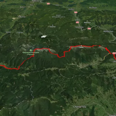 HardMulti-dayUnmarkedYablunytsia village to Bystrytsia villagevia Mount Khomiak, Mount Syniak +3Elevation profile736–1 728 m38.2 kmascent 2 270 m
 HardTwo-dayMarkedYaremche loopvia Pereslop PassElevation profile522–1 271 m17.5 kmascent 1 335 m≈ 7 h walking