Shepit village – Mount Yarovytsia
Unmarked trailmore
It may be partly marked. Unmarked trails have no information boards, signposts or auxiliary signs (water, campsite, etc.). The decision to walk the trail is entirely your own responsibility.
Trail map
Where to stay nearby
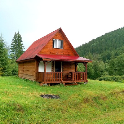
About the trail
Route Shepit village – Mount Yarovytsia. Along the route you will see: Church of St. Elijah, Shepit, Carpathian Pamir, Sarata, Mount Yarovytsia.
At a glance
A one-day route of 20.8 km with 1,021 m of ascent from Shepit village to Mount Yarovytsia. Estimated walking time: about 7 h, not counting stops. Difficulty: hard. Waymarking is missing or partial.
Route stages
- 0–8 kmGentle ups and downs at 860–1,020 m
- 8–14 kmClimb of 460 m (up to 1,474 m)
- 14–21 kmAlong the ridge at 1,390–1,560 m, past Mount Tomnatyk, Mount Yarovytsia
Steepest kilometre: km 20–21, a climb of 170 m (≈18%), near Mount Yarovytsia.
Water and overnight stays
Springs near the trail: at km 11, 14, 17 and 19. There are no springs between km 0 and 11 — carry at least 2 l of water.
Huts and shelters near the trail: Shepherds' hut below Mount Tomnatyk (km 16), Border guards' hut on Mount Tomnatyk (km 18), Hut below Mount Malyi Temnatyk (km 19). Places to stay near the start: Shepit.
When to go
Best time: May to October. In winter deep snow is possible, so experience and winter gear are needed.
Getting there
Start: Shepit village. Most places to stay near the start are in Shepit. This is a one-way route: the finish is 9 km from the start in a straight line, so plan your way back in advance.
FAQ
- How long does the route take?
- Estimated walking time: about 7 h, not counting stops.
- Is there water on the route?
- Springs near the trail: at km 11, 14, 17 and 19. There are no springs between km 0 and 11 — carry at least 2 l of water.
- Where can I stay overnight?
- Huts and shelters near the trail: Shepherds' hut below Mount Tomnatyk (km 16), Border guards' hut on Mount Tomnatyk (km 18), Hut below Mount Malyi Temnatyk (km 19). Places to stay near the start: Shepit.
Water and shelter on the route
- Spring (Sarata, 10)km 10.3 from the start · Not verified · 1 229 m
- Spring (Sarata, 9)km 13.8 from the start · 150 m off the path · Not verified · 1 454 m
- Shepherds' hut below Mount Tomnatykkm 15.7 from the start · 70 m off the path · Standing · 1 501 m
- Spring (Sarata, 8)km 16 from the start · 110 m off the path · Not verified · 1 501 m
- Border guards' hut on Mount Tomnatykkm 16.8 from the start · Not verified · 1 539 m
- Hut below Mount Malyi Temnatykkm 18.7 from the start · Standing · 1 403 m
- Spring below Mount Yarovytsia (4)km 18.7 from the start · Not verified · 1 406 m
Comments
What to see on the trail
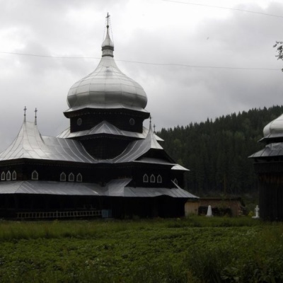 Church of St. Elijah, Shepitaltitude 974 mElias Church, is located in the village of Shepit in the middle of the Bukovinian Carpathians.
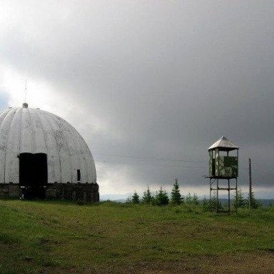 Carpathian Pamir, Sarataaltitude 1 188 mFrom the 1960s until the mid-1990s, a secret radar station operated on one of the highest peaks of the Bukovyna Carpathians, Mount Tomnatyk.
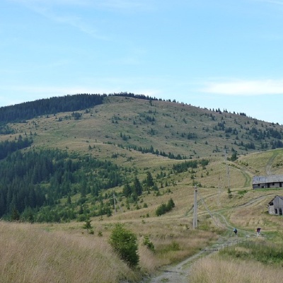 Mount Yarovytsiaaltitude 1 566 mYarovytsia is the peak of the Yalovychora Mountains in the Ukrainian Carpathians, located on the Yarovets Ridge , which is one of the southernmost...
Trails nearby
All trails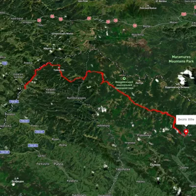 HardMulti-dayUnmarkedShepit village to Shybene villagevia Mount Yarovytsia, Mount Pnivie +1Elevation profile851–1 579 m73.4 kmascent 2 571 m
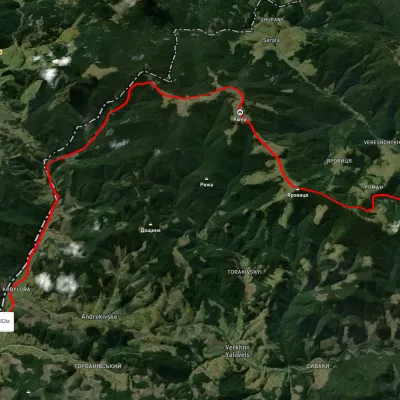 HardMulti-dayUnmarkedNyzhnii Yalovets village to Shypit villagevia Mount YarovytsiaElevation profile862–1 564 m24.7 kmascent 1 153 m≈ 8.5 h walking
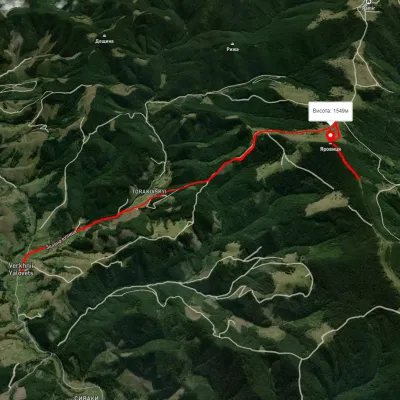 ModerateOne-dayUnmarkedVerkhnii Yalovets village Mount YarovytsiaElevation profile1 001–1 610 m8.1 kmascent 775 m≈ 3.5 h walking