Huta – Poharchyna
11 kmLength
1 077 mAscent
1 460 mDescent
1 269 mMax. altitude
669 mMin. altitude
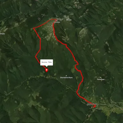
Trail map
Where to stay nearby
Near the start · Bohorodchany
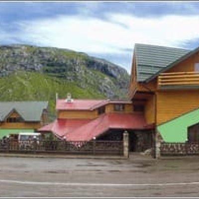
Near the finish · Osmoloda
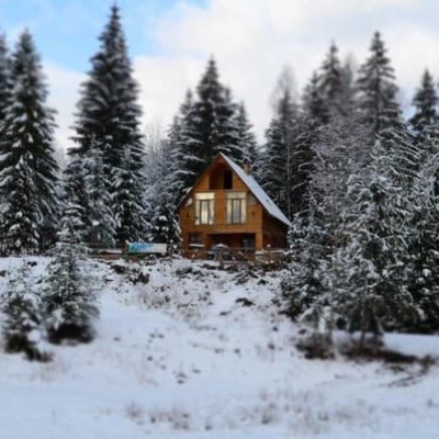
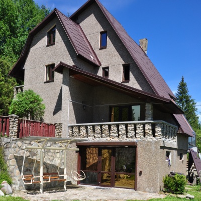
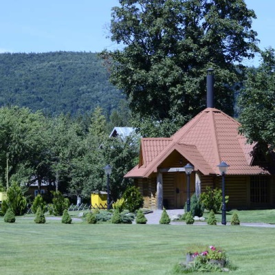
Weather and adviceLoading the forecast…
About the trail
Route Huta – Poharchyna. Has yellow marking (short routes, connecting paths, shortcuts). Along the route you will see: Residence Synihora, Guta.
At a glance
A one-day route of 11 km with 1,077 m of ascent from Huta to Poharchyna. Estimated walking time: about 4.5 h, not counting stops. Difficulty: moderate. Waymarking: yellow.
Route stages
- 0–2 kmClimb of 170 m (up to 1,259 m)
- 2–3 kmGentle ups and downs at 1,240–1,260 m
- 3–7 kmDescent of 350 m (down to 899 m)
- 7–10 kmGentle ups and downs at 860–940 m
- 10–11 kmDescent of 180 m to Poharchyna
Steepest kilometre: km 10–11, a descent of 200 m (≈20%).
Water and overnight stays
Springs near the trail: at km 1 and 4.
Huts and shelters near the trail: Hut on Polonyna Komarnyky (km 1). Places to stay near the finish: Osmoloda.
When to go
Best time: May to October. In winter deep snow is possible, so experience and winter gear are needed.
Getting there
Start: Huta. This is a one-way route: the finish is 8 km from the start in a straight line, so plan your way back in advance.
FAQ
- How long does the route take?
- Estimated walking time: about 4.5 h, not counting stops.
- Is there water on the route?
- Springs near the trail: at km 1 and 4.
- Where can I stay overnight?
- Huts and shelters near the trail: Hut on Polonyna Komarnyky (km 1). Places to stay near the finish: Osmoloda.
Water and shelter on the route
- Spring below Mount Khrebet i hora Chortkakm 1.1 from the start · 100 m off the path · Not verified · 1 100 m
- Hut on Polonyna Komarnykykm 1.2 from the start · 220 m off the path · Not verified · 1 139 m
- Spring (Stara Huta, 11)km 3.8 from the start · 150 m off the path · Not verified · 1 211 m
Comments
What to see on the trail
Trails nearby
All trails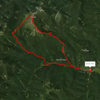 HardMulti-dayUnmarkedStara Huta village loopvia Mount IhrovetsElevation profile650–1 797 m29.9 kmascent 1 475 m≈ 10.5 h walking
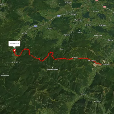 HardMulti-dayMarkedHuta village Pasichna villageElevation profile524–1 217 m26.4 kmascent 2 293 m≈ 11 h walking
 HardTwo-dayUnmarkedStara Huta village loopvia Mount Ihrovets, Borevka PassElevation profile698–1 841 m20.4 kmascent 1 494 m≈ 8 h walking