Mount Bert
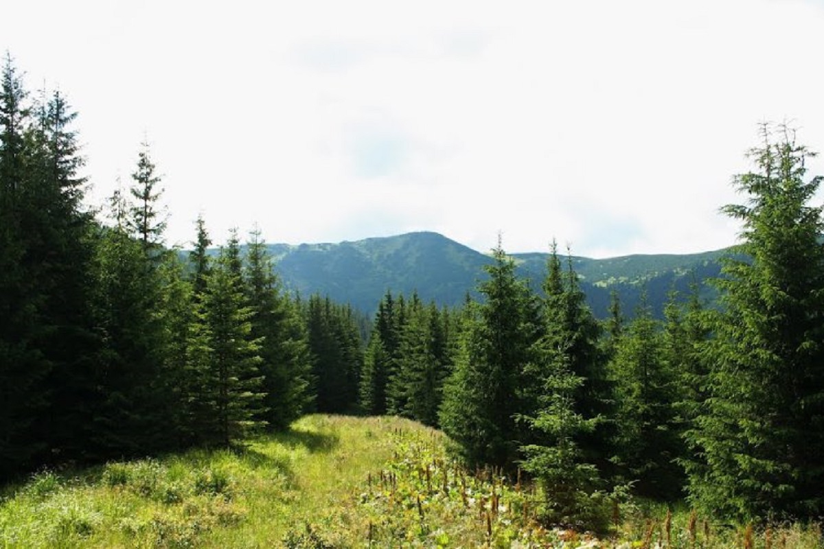
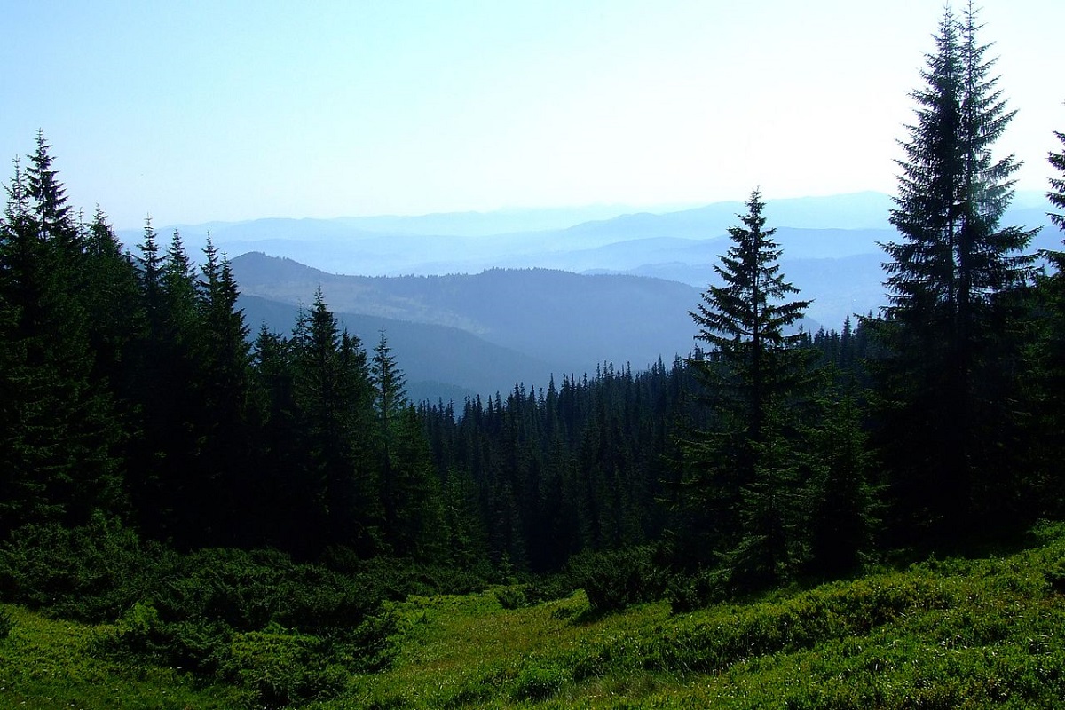
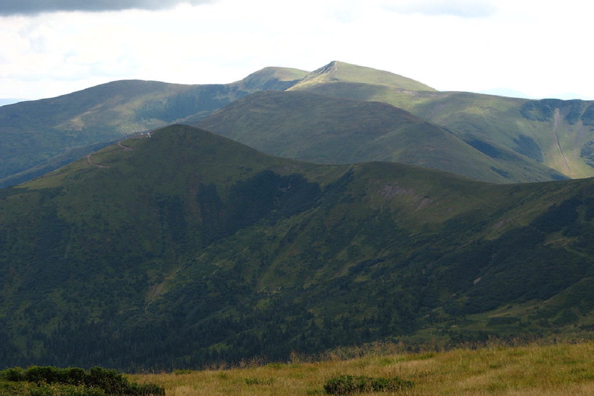
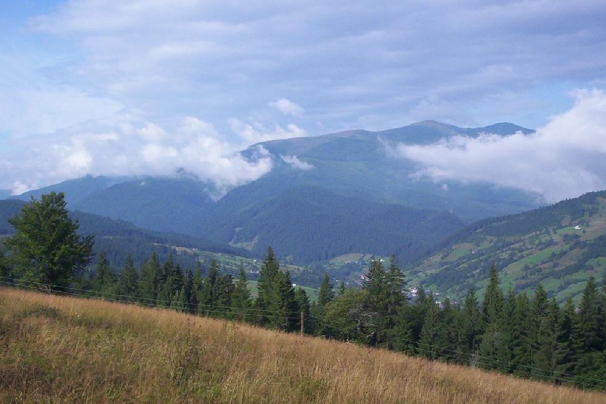
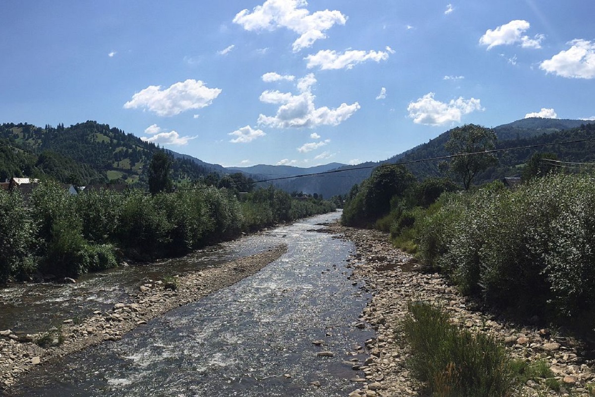
Mount Bert is a peak in the Ukrainian Carpathians, which is located on the territory of the Pryvododilni Gorgany. It is located in the northern part of the Tyachiv district of Zakarpattia region.
The height is 1666 meters.
The summit and summit part of the mountain up to 1300-1400 meters is covered with stone placers, scree and alpine pine thickets (fir), below this mark - with ancient forests.
The slopes of the mountain are very steep to the east and southwest; to the south of the summit, an unforested gentle ridge stretches for several kilometers.
From the very top you can enjoy a wonderful view of the surrounding mountains: in the southeast direction you can see the Svydovets mountain range, in the southwest - Mt. Krasna, in the northeast - the mountain. Syvulia with its highest peak Syvulia, and the Popadia-Hrofa mountain range to the northwest.
The nearest settlement is the village of Lopukhiv, Tyachiv district, Zakarpattia region.
Location on the map
Water and shelter nearby
- Spring below Mount Bert (2)1.3 km · Weak flow · 1 541 m
- Spring below Mount Bert1.3 km · Weak flow · 1 537 m
- Spring (Osmoloda, 4)2.8 km · Not verified · 1 249 m
- Spring (Osmoloda, 3)2.8 km · Not verified · 1 253 m
- Spring (Osmoloda, 5)2.9 km · Not verified · 1 233 m
Comments
Places to stay nearby
All stays Homestead"U Davidka i Matviika"Osmoloda12 km from Mount BertFireplaceKitchenParkingNearby: Mt Studenets 3.8 kmMt Petros Gorgansky 4.6 km2 trails
 HomesteadHomestead "Faini Karpaty" OsmolodaOsmoloda12 km from Mount BertSaunaBBQKitchenNearby: Mt Studenets 3.8 kmMt Petros Gorgansky 4.6 km2 trails
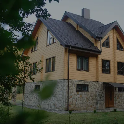 HomesteadHomestead "Albertville" OsmolodaOsmoloda12 km from Mount BertFireplaceKitchenParkingNearby: Mt Studenets 4.0 kmMt Petros Gorgansky 4.8 km2 trails
Trails via Mount Bert
All 2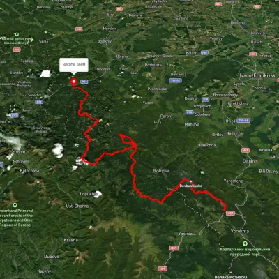

Nearby attractions
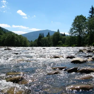 RiverLimnytsia River landscape reserve of local importanceOsmoloda2.8 km from Mount BertThe area of the reserve is 2440 hectares. The Limnytsia River is a source of clean water and has favorable conditions for the life, spawning and development of...
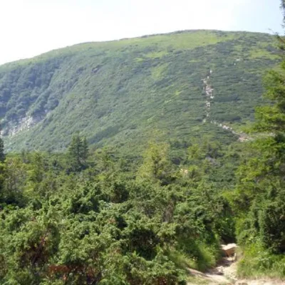 PeakMount BushtulRuska Mokraaltitude 1 691 m · Gorgany range4.8 km from Mount Bert3 trails to the topBushtul is a 1,691-meter-high mountain in the Ukrainian Carpathians, located in the Gorgan mountain range (Inner (Subsidiary) Gorgan Mountains ) on the border of two...
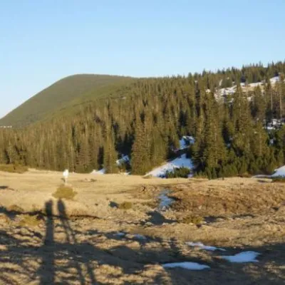 Mountain meadowPolonyna RuschynaOsmolodaaltitude 1 409 m13 km from Mount BertRuschyna meadow is famous for its panoramic views of the mountains that surround it from all sides and the diversity of flora and fauna.