Mount Breskul
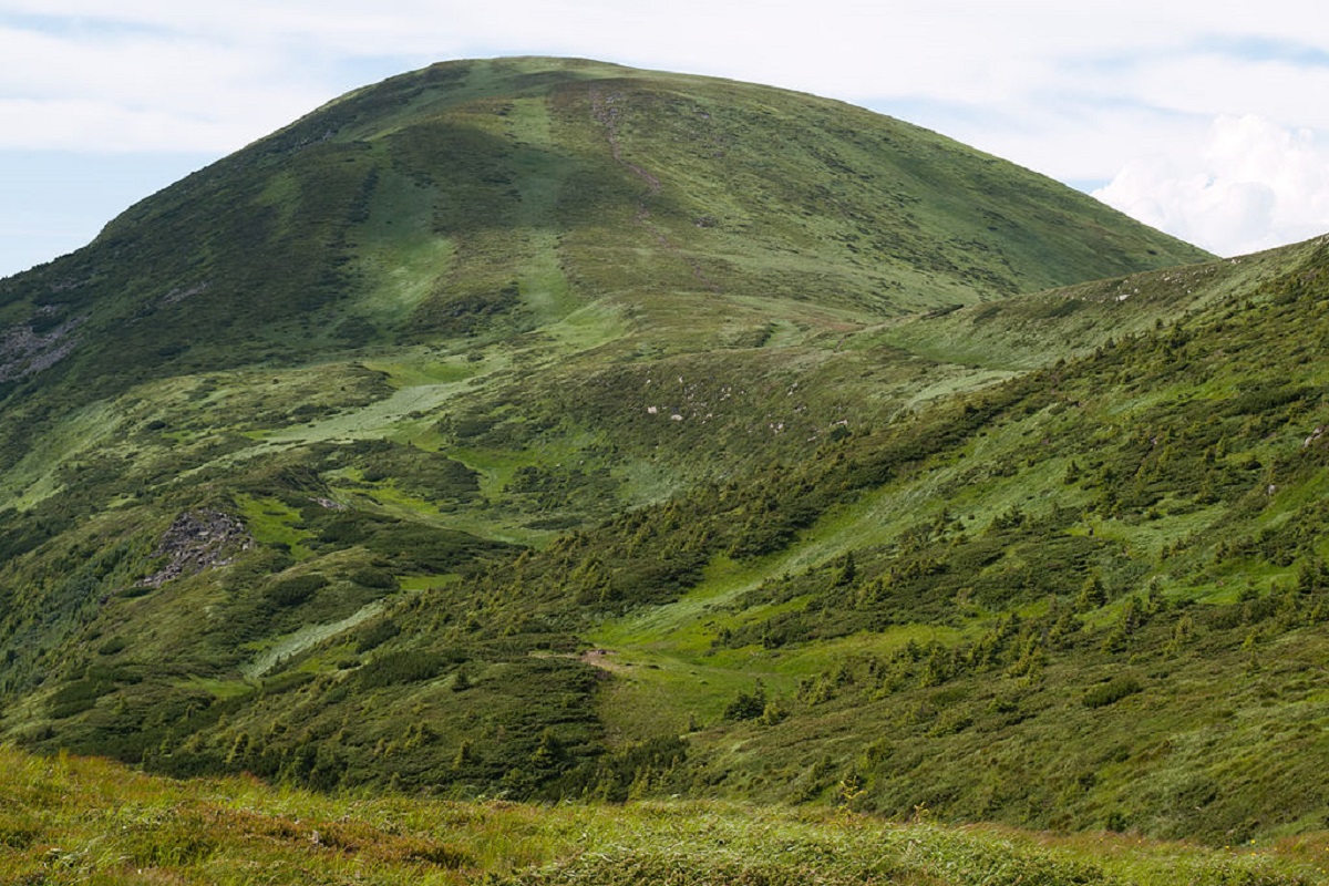
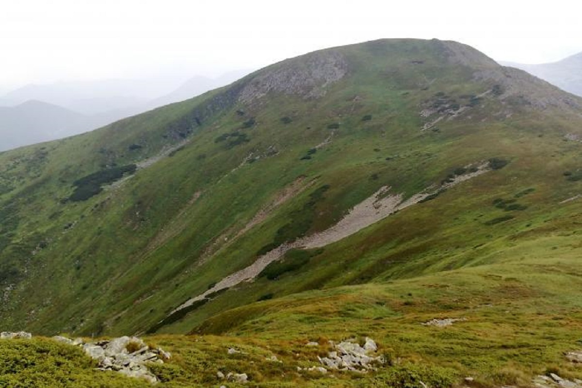
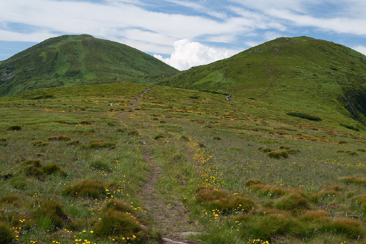
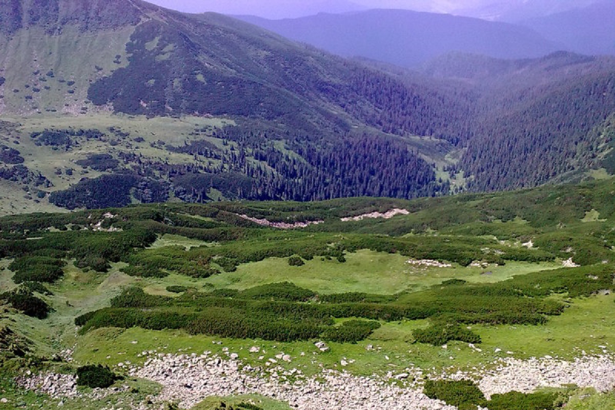
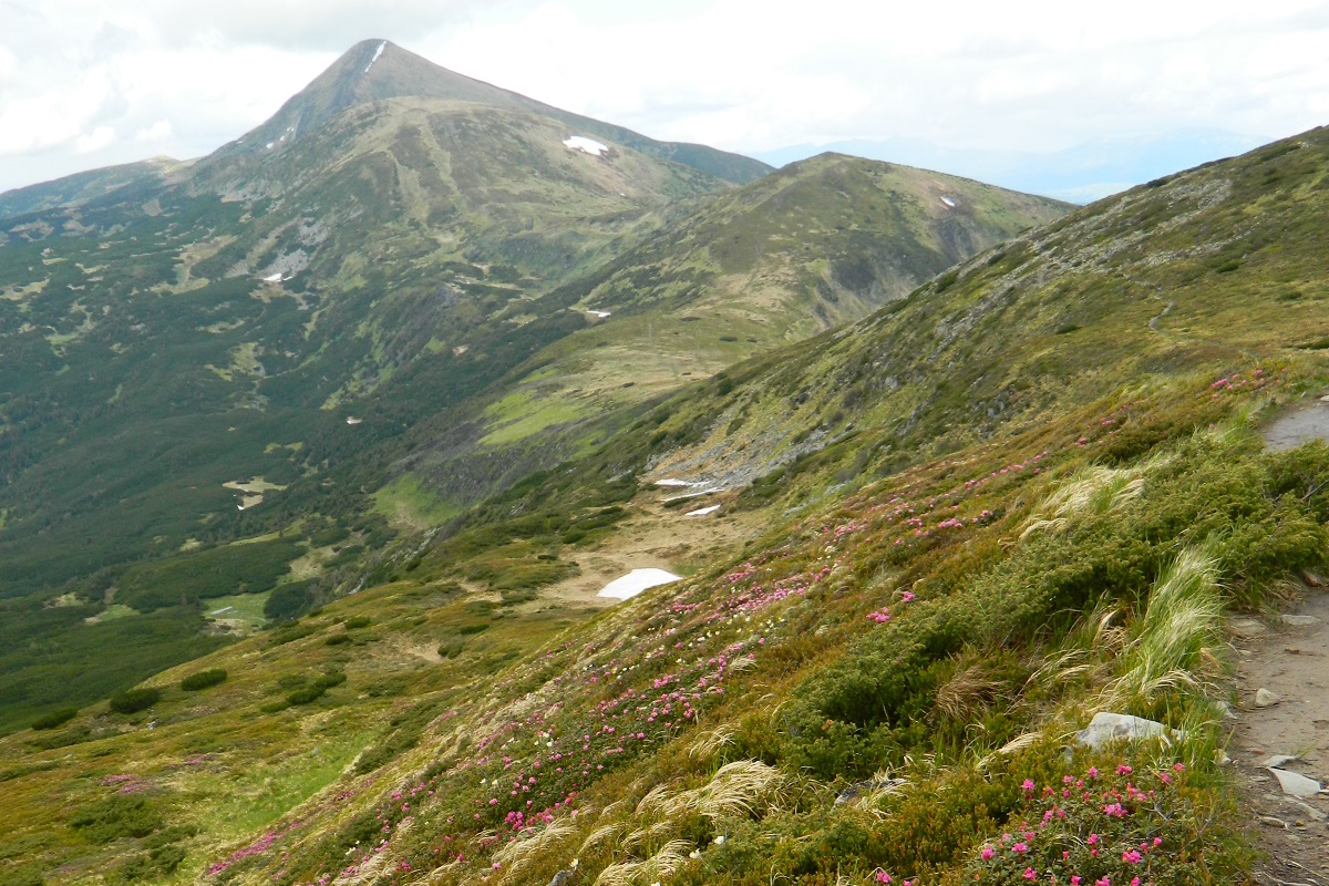
Breskul (another name for the mountain is Bretskul), 1911 meters high, is a famous mountain peak in the Ukrainian Carpathians, located in the Chornohora mountain range on the border of Zakarpattia and Ivano-Frankivsk regions.
It is believed that the name of the mountain comes from the Hutsul dialect and is most likely related to its shape, meaning "inflated," "swollen," or "swollen."
Breskul is located between two peaks - Mount Hoverla (2061 m) and Mount Pozhyzhevska (1822 m).
The top of Mount Breskul has a dome shape: the northern slopes are quite steep with steep stone scree, the southeastern slopes are gentler, covered with various alpine and subalpine plants (grasses, flowers and shrubs - juniper and juniper).
To the west of Breskul there is a wide hollow formed in a glacial depression with several small and unstable lakes, the largest and most famous of which is Breskul Island.
The nearest settlement is the village of Bystrets, Verkhovyna district, Ivano-Frankivsk region.
Location on the map
Water and shelter nearby
- Spring below Mount Breskul (5)430 m · Not verified · 1 679 m
- Spring below Mount Breskul (4)710 m · Not verified · 1 778 m
- Spring below Mount Breskul (3)840 m · Not verified · 1 731 m
- Spring below Mount Breskul (6)910 m · Not verified · 1 599 m
- Spring below Mount Pozhyzhevska1.1 km · Not verified · 1 708 m
- Spring below Mount Breskul (7)1.2 km · Not verified · 1 514 m
- Spring below Mount Hoverla (6)1.8 km · Not verified · 1 802 m
- Eco point “At the foot of Hoverla” (hut)1.8 km · Standing · 1 832 m
- Spring below Mount Velyka Kozmeska (4)1.8 km · Not verified · 1 503 m
- Spring below Mount Dantsizh1.9 km · Not verified · 1 621 m
- Spring below Mount Hoverla (5)2 km · Has water · 1 748 m
- Spring below Mount Velyka Kozmeska (2)2.1 km · Not verified · 1 620 m
- Spring below Mount Breskul (2)2.3 km · Not verified · 1 388 m
- Spring below Mount Breskul2.4 km · Not verified · 1 364 m
- Spring below Mount Velyka Kozmeska (5)2.4 km · Not verified · 1 430 m
- Spring below Mount Hoverla (4)2.4 km · Not verified · 1 788 m
Comments
Places to stay nearby
All stays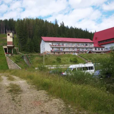 HotelTraining and Sports Base "Zaroslyak" at HoverlaVorokhta2.6 km from Mount BreskulPoolSaunaParkingNearby: Polonyna Pozhizhevska 1.2 kmMt Hoverla 2.8 km32 trails
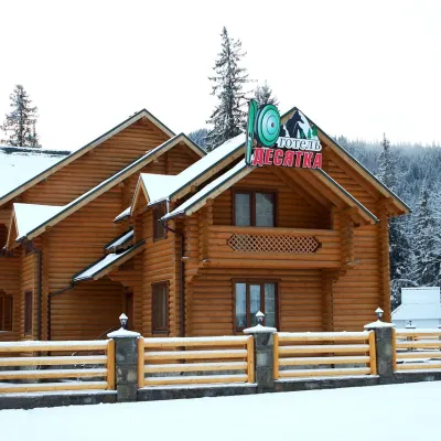 HotelHotel "Desyatka" Vorokhta (near Hoverlyansky Checkpoint)Vorokhta8.9 km from Mount BreskulPoolSaunaBreakfastNearby: Mt Kukul 3.6 kmPolonyna Kukul 4.0 km5 trails
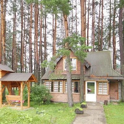 HomesteadHomestead "Sosnovyi Dvir" Vorokhta (Tenth Kilometer)Vorokhta9.1 km from Mount BreskulSaunaBBQKitchenNearby: Mt Kukul 3.7 kmPolonyna Kukul 4.1 km5 trails
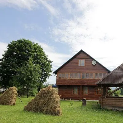 HomesteadHomestead "PID YAVOROM" Vorokhta (Tenth Kilometer)Vorokhta9.1 km from Mount BreskulSaunaBBQKitchenNearby: Mt Kukul 3.7 kmPolonyna Kukul 4.1 km5 trails
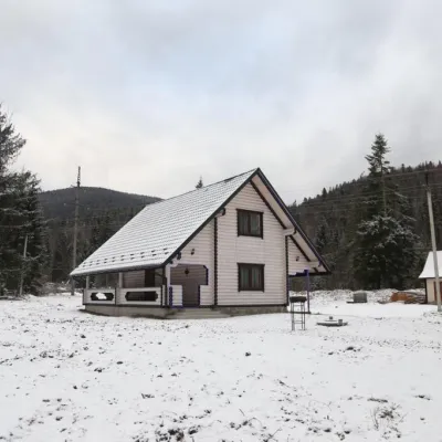 HomesteadHomestead "SWEET HOME" Vorokhta (Tenth Kilometer)Vorokhta9.1 km from Mount BreskulSaunaBBQKitchenNearby: Mt Kukul 3.7 kmPolonyna Kukul 4.1 km5 trails
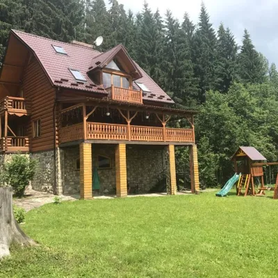 CottageCottage "Try Hory" Vorokhta (Tenth Kilometer)Vorokhta9.1 km from Mount BreskulSaunaBBQKitchenNearby: Mt Kukul 3.7 kmPolonyna Kukul 4.1 km5 trails
Trails via Mount Breskul
All 80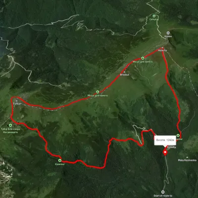 ModerateTwo-dayUnmarkedZaroslyak base loopvia Mount Hoverla, Lake NesamovyteElevation profile1 248–2 040 m16.9 kmascent 1 107 m≈ 6.5 h walking
 HardMulti-dayMarkedTranscarpathian Tourist TrailElevation profile198–2 031 m393.2 kmascent 30 283 m
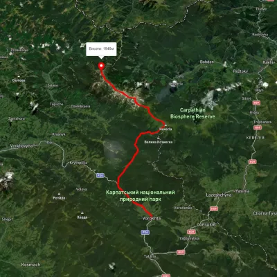 HardMulti-dayUnmarkedVorokhta to Mount Pip Ivan Chornohirskyivia Zaroslyak base, Mount Hoverla +2Elevation profile746–2 043 m42.2 kmascent 2 377 m
Nearby attractions
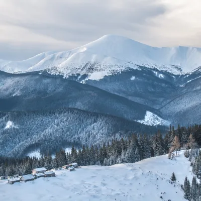 PeakMount HoverlaVorokhtaaltitude 2 061 m · Chornohora range1.3 km from Mount Breskul109 trails to the topMount Hoverla has a difficult route and you need to prepare for the climb in advance. You need an experienced friend, company, or guide to go hiking on Hoverla, and it...
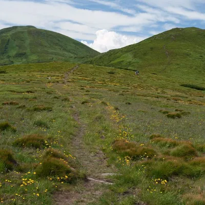 Mountain meadowPolonyna Pozhizhevska (Pozhizhevskaya)Nadvirna districtChornohora range1.9 km from Mount BreskulPolonyna lies at an altitude of 1382-1822 meters. The Pozhyzhevska meadow lies at the foot of the mountain of the same name in the Montenegrin ridge.
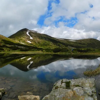 LakeHigh-mountainous Lake Nesamovite (1750 m.a.s.l., Chornohora ridge)Vorokhta3.8 km from Mount BreskulNesamovyte is one of the highest lakes in the Ukrainian Carpathians (1750 m above sea level). It is located within the Nadvirna district of Ivano-Frankivsk region.