Lehôtka pod Brehmi – Štátna hora
Trail map
Route, springs and shelters: © OpenStreetMap contributors (ODbL) · elevation: Copernicus DEM © DLR e.V., © Airbus DS · Data & licences
About the trail
Route Lehôtka pod Brehmi – Štátna hora. Has green marking (regional route №5536, KST). Waymarking data: OpenStreetMap (© OpenStreetMap contributors, ODbL).
Officially marked regional tourist route No. 5536. The marking is green, the sign is a horizontal stripe on a white background. Marked and maintained by: KST. Length of the route — 5.1 km. Location: mountain range — Strednoslovenske hory, Slovakia.
Attention: part of the route is not yet marked on OpenStreetMap, so the line on the map has gaps. On the ground, orient yourself by the marking signs.
At a glance
A short route of 5.1 km with 296 m of ascent from Lehôtka pod Brehmi to Štátna hora. Estimated walking time: about 2 h, not counting stops. Difficulty: easy. Waymarking: green.
Route stages
- 0–1 kmClimb of 130 m (up to 388 m)
- 1–5 kmGentle ups and downs at 340–460 m
Steepest kilometre: km 0–1, a climb of 130 m (≈14%).
Water and overnight stays
A spring near the trail: at km 5.
When to go
The route can be walked most of the year; it is most comfortable from April to October.
Getting there
Start: Lehôtka pod Brehmi.
FAQ
- How long does the route take?
- Estimated walking time: about 2 h, not counting stops.
- Is there water on the route?
- A spring near the trail: at km 5.
Water and shelter on the route
- Spring below Štátna hora (south slope)km 5.4 from the start · 190 m off the path · Not verified · 431 m
Comments
Trails nearby
All trails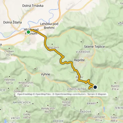 ModerateOne-dayMarkedHliník nad Hronom Zlatý VrchElevation profile235–850 m11.6 kmascent 654 m≈ 4 h walking
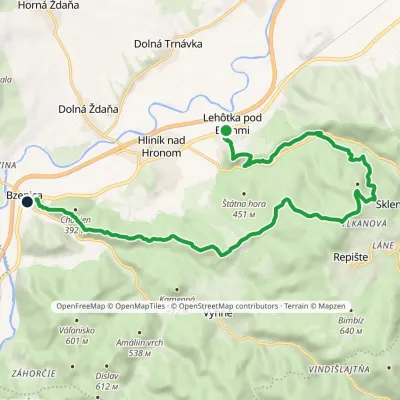 ModerateTwo-dayMarkedBzenica Lehôtka pod BrehmiElevation profile230–633 m17.3 kmascent 614 m≈ 5.5 h walking
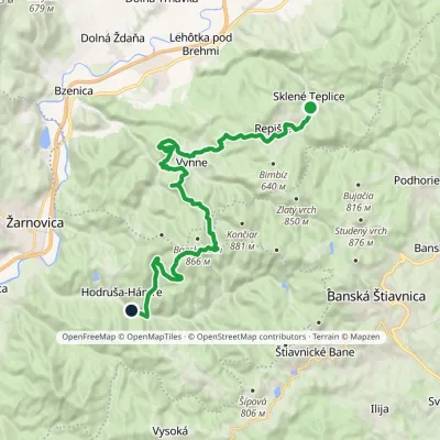 HardTwo-dayMarkedHodruša Sklené Teplicevia Hámre, SandrikElevation profile310–804 m23.5 kmascent 862 m≈ 7.5 h walking
Craft nearby
All craft places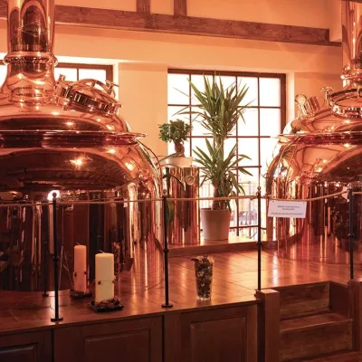 Craft beer & breweriesERB brewery in Banská Štiavnica: brewery tour and tasting11 km from the trailBanská Štiavnica is an old mining town in the caldera of an extinct volcano and a UNESCO World Heritage site.
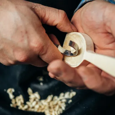 Crafts & workshopsDo dielne, Počúvadlo: woodcarving courses near Banská Štiavnica19 km from the trailHere, in the quiet among the hills, works the small workshop Do dielne (“To the workshop”). Its owner Dušan Budinský ran a hairdresser’s in Bratislava for eight years,...
 Craft producersKremnica gingerbread: the Haurík family bakery since 192220 km from the trailKremnica is an old mining town in the Kremnica Mountains where coins have been struck for more than six centuries.
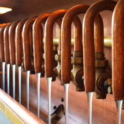 Craft beer & breweriesUrpiner brewery in Banská Bystrica: tour and beer from the tank30 km from the trailBanská Bystrica is the centre of Central Slovakia and grew rich on copper mining in the 14th–16th centuries.
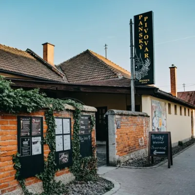 Craft beer & breweriesPanský pivovar Bojnice: unfiltered craft beer below the castle31 km from the trailBojnice is a spa town in the upper Nitra valley at the foot of the Strážov Hills, famous for the fairy-tale castle of the Pálffy family.
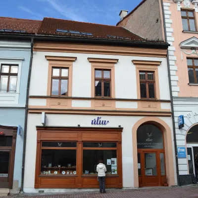 Craft shopsÚĽUV Banská Bystrica: folk-craft shop and craft school33 km from the trailÚĽUV (Ústredie ľudovej umeleckej výroby, the Centre for Folk Art Production) is a state institution that has looked after Slovak folk crafts since 1945: it keeps a...
