Mountain shelter
Skalnatá Hut
Slovakia · High Tatras range · 1 725 m


- Photo: Petr Vilgus · CC BY 3.0 · Wikimedia Commons
- Photo: Pudelek · CC BY-SA 4.0 · Wikimedia Commons
- Photo: No machine-readable author provided. Stevage assumed (based on copyright claims). · CC BY-SA 2.5 · Wikimedia Commons
Condition
StandingNo hikers’ reports yet. According to open data the hut is open all year — check its website or call before setting out.
Last edited on the OSM map 22.01.2026
- 1 725 m
- Staffed
- All year
Practical info
- Local name: Skalnatá chata
- Season: All year
- Built: 1935
- Contacts: skalnatachata.sk
About
Skalnatá Hut is a small stone hut at 1725 m in the Skalnatá dolina of the High Tatras, on the edge of the terrace of Skalnaté pleso, passed by the red Tatra Magistrála. The cable-car station from Tatranská Lomnica is next door and Lomnický štít rises above the valley.
Its story goes back to 1841, when Silesian hikers with local guides walled in a large boulder on the moraine under which climbers heading for Lomnický štít used to rest. The refuge was enlarged several times and in 1935 Michal Tomčík rebuilt it into a hut. In the late 20th century the building fell into decay and was partly demolished; from 1993 it was restored by the former keeper of Zamkovský Hut, the famous porter Ladislav Kulanga.
Today the hut is open all year and supplies are carried up from the cable-car station. Visitors arrive both on foot along the Magistrála and by cable car. Mountain rescue (HZS): 18 300.
On the map
Coordinates: 49.18625, 20.23357
How to get there
from Tatranská Lomnica on the green trail to Skalnaté pleso, about 2 h 30 min; or the red Tatra Magistrála from Zamkovský Hut, about 1 h; the Skalnaté pleso cable-car station is close by.
Trails nearby
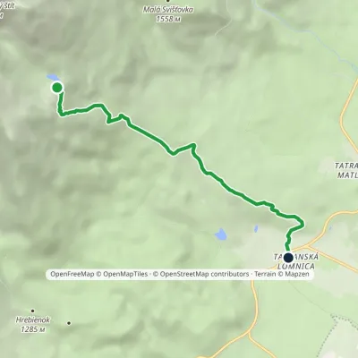 ModerateOne-dayMarkedTatranská Lomnica Skalnaté plesoElevation profile852–1 763 m5.9 kmascent 911 m≈ 3.5 h walking
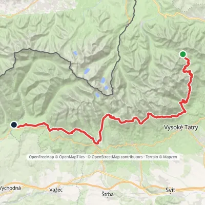 HardMulti-dayMarkedTatranská magistrála (Tatra Highway): Podbanské Veľké Biele plesoElevation profile929–2 043 m50.1 kmascent 1 639 m
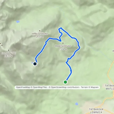 ModerateOne-dayMarkedŠtart Skalnaté plesoElevation profile1 122–1 757 m7.7 kmascent 631 m≈ 3 h walking
Report the condition
Been here recently? Tell us what you saw and add photos — your report appears on the page right away with today’s date.
