Condition
RuinedRuined or burnt — do not count on it for the night.
- 1 348 m
About
Gorgany range, about 1 350 m above sea level. Mount Boyarin (Korotkan) (1 675 m) is about 1.2 km away. The nearest settlement is Bystrytsia, about 10 km in a straight line. 8 of the site’s trails pass nearby, including “Stara Huta village, via Mount Vysoka, Mount Ihrovets and Mount Syvulia to Bystrytsia village”.
According to the latest reports, the building is ruined or burnt. The nearest known spring is 390 m away.
On the map
Coordinates: 48.52239, 24.16204
How to get there
Trails nearby
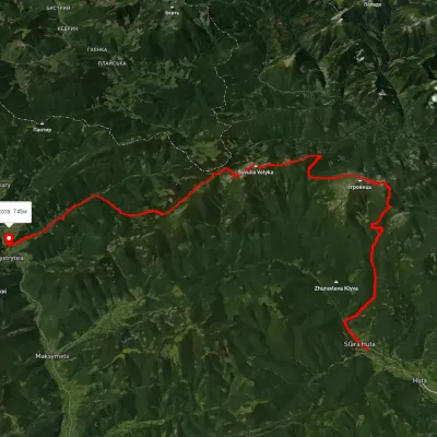 HardMulti-dayUnmarkedStara Huta village to Bystrytsia villagevia Mount Vysoka, Mount Ihrovets +1Elevation profile656–1 795 m39.9 kmascent 2 102 m
 HardMulti-dayMarkedEast Carpathian Tourist TrailElevation profile635–1 819 m278.1 kmascent 14 105 m
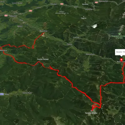 HardMulti-dayUnmarkedPasichna village to Bystrytsia villagevia Maniava village, Maniava Waterfall +1Elevation profile497–1 835 m69.7 kmascent 3 340 m
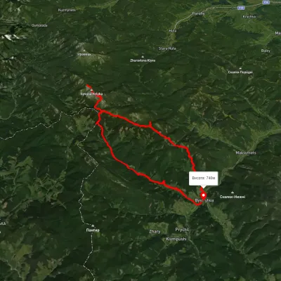 HardMulti-dayUnmarkedBystrytsia village loopvia Peklo tract, Mount Mala Syvulia +2Elevation profile742–1 828 m42.6 kmascent 1 815 m
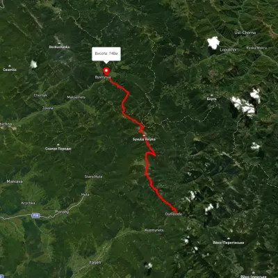 HardMulti-dayUnmarkedOsmoloda village to Bystrytsia villagevia Mount Vysoka, Mount Ihrovets +1Elevation profile708–1 816 m41.5 kmascent 2 068 m
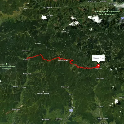 HardMulti-dayUnmarkedBystrytsia village to Osmoloda villagevia Mount Boiaryn, Mount Syvulia +2Elevation profile387–929 m41.5 kmascent 1 060 m≈ 12.5 h walking
Nearest settlement: Bystrytsia, about 10 km in a straight line.
Report the condition
Been here recently? Tell us what you saw and add photos — your report appears on the page right away with today’s date.
No photos yet — send yours together with a condition report.
