Mountain shelter
Hala Lipowska Hut
Poland · Żywiec Beskids range · 1 262 m


- Photo: Jerzy Opioła · CC BY-SA 3.0 · Wikimedia Commons
- Photo: Nimloth · Public domain · Wikimedia Commons
- Photo: Unknown authorUnknown author · Public domain · Wikimedia Commons
Condition
StandingNo hikers’ reports yet. According to open data the hut is open — check its website or call before setting out.
Last edited on the OSM map 07.09.2025
- 1 262 m
- Sleeps up to 43
- Meals served
Practical info
- Run by: PTTK
- Local name: Schronisko PTTK na Hali Lipowskiej
- Food: Kitchen or buffet
- Built: 1932
- Contacts: lipowska.com.pl
About
The Hala Lipowska Hut stands on a pasture a few hundred metres east of the summit of Lipowski Wierch in the Żywiec Beskids, at 1,262 m. It is run by PTTK, and its neighbour on Rysianka is only a quarter of an hour away.
The German mountain society Beskidenverein began building it in 1931 despite opposition from the Polish Tatra Society, and it was officially opened on 6 August 1932. Before the war the Lipowska and Rysianka huts fought a real «war for tourists». After repairs it reopened on 9 June 1946, now under Polish management. In 1973–1980 it was rebuilt so thoroughly that little more than the cellar of the old building remains. In 2011 it took first place in the «n.p.m.» magazine ranking of Polish mountain huts.
It has 43 beds, a 44-seat dining room and a buffet. Trails lead here from Hala Boracza (green), from Rajcza via Hala Redykalna (yellow) and from Złatna (blue). Mountain rescue: 985 or +48 601 100 300.
On the map
Coordinates: 49.53204, 19.22618
How to get there
from Hala Boracza on the green trail, about 2 h.
Trails nearby
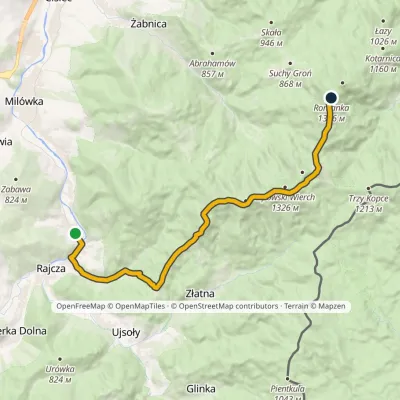 ModerateTwo-dayMarkedRajcza RomankaElevation profile486–1 366 m16.4 kmascent 1 000 m≈ 6 h walking
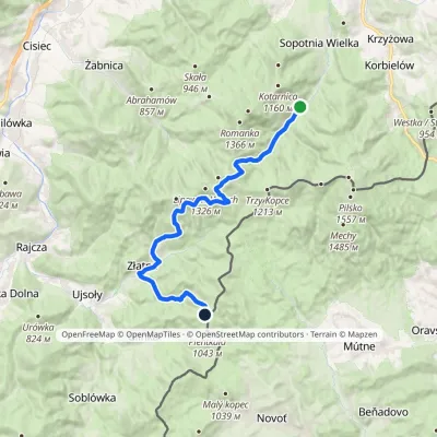 HardTwo-dayMarkedWałęgowka Bacówka PTTK Krawców WierchElevation profile613–1 269 m20.8 kmascent 994 m≈ 7 h walking
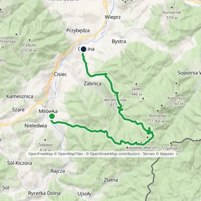 HardMulti-dayMarkedMilówka CięcinaElevation profile396–1 276 m30.5 kmascent 1 066 m≈ 10 h walking
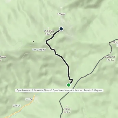 EasyOne-dayMarkedZłatna Huta RysiankaElevation profile894–1 268 m3.1 kmascent 378 m≈ 1.5 h walking
Report the condition
Been here recently? Tell us what you saw and add photos — your report appears on the page right away with today’s date.
