Picnic shelter
Picnic shelter below Polom (north-east slope)
Slovakia · Żywiec Beskids range · 934 m
Condition
Not verifiedNo recent reports. Bring a tent and, if you pass by, tell us what you saw.
Last edited on the OSM map 27.09.2020
- 934 m
About
Żywiec Beskids range, about 930 m above sea level. 5 of the site’s trails pass nearby, including “Mútne – Mútňanské Saddle”.
On the map
Coordinates: 49.51520, 19.24360
How to get there
Trails nearby
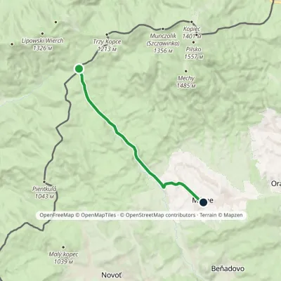 EasyOne-dayMarkedMútne Mútňanské SaddleElevation profile772–956 m9.4 kmascent 66 m≈ 2.5 h walking
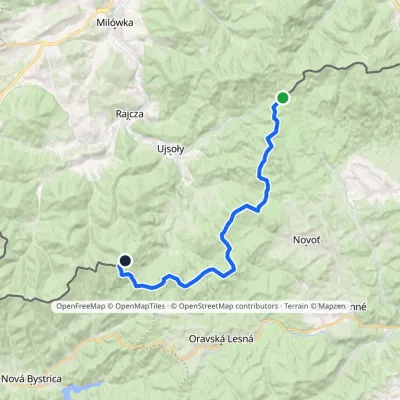 HardTwo-dayMarkedPTTK Hut on Rycerzowa Talapkov BeskydElevation profile842–1 226 m26 kmascent 1 149 m≈ 9 h walking
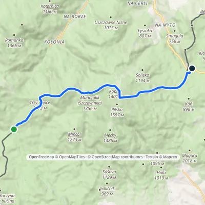 ModerateOne-dayMarkedPrzełęcz Bory Orawskie Hliny / Przełęcz GlinneElevation profile804–1 534 m12.1 kmascent 714 m≈ 4.5 h walking
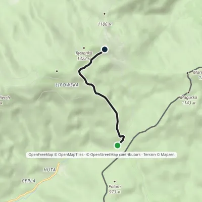 EasyOne-dayMarkedZłatna Huta RysiankaElevation profile894–1 268 m3.1 kmascent 378 m≈ 1.5 h walking
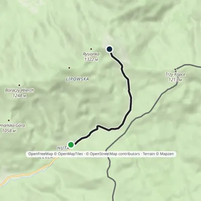 EasyOne-dayMarkedHala Rysianka Złatna HutaElevation profile738–1 266 m4.2 kmascent 528 m≈ 2 h walking
Report the condition
Been here recently? Tell us what you saw and add photos — your report appears on the page right away with today’s date.
No photos yet — send yours together with a condition report.
