Mountain shelter
Vrátna Hut
Slovakia · Lesser Fatra range · 740 m
Condition
StandingNo hikers’ reports yet. According to open data the hut is open — check its website or call before setting out.
Last edited on the OSM map 05.09.2023
- 740 m
- Staffed
Practical info
- Local name: Chata Vrátna
- Contacts: chatavratna.eu
About
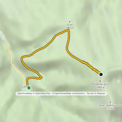
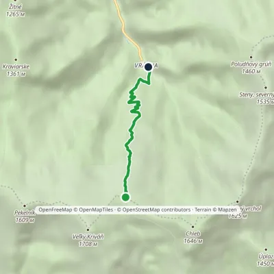
Lesser Fatra range, about 740 m above sea level. 2 of the site’s trails pass nearby, including “Chata Vrátna – Poludňový grúň”.
The hut is staffed. The nearest known spring is 1.4 km away.
On the map
Coordinates: 49.20843, 19.04243
How to get there
Trails nearby
Report the condition
Been here recently? Tell us what you saw and add photos — your report appears on the page right away with today’s date.
No photos yet — send yours together with a condition report.
