Hiking routes

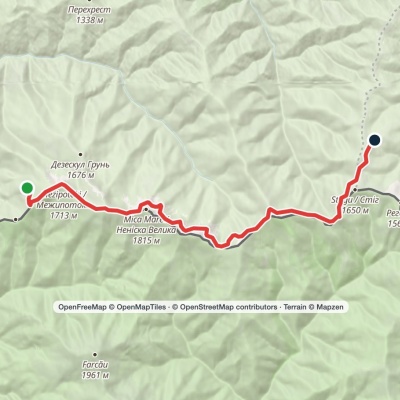
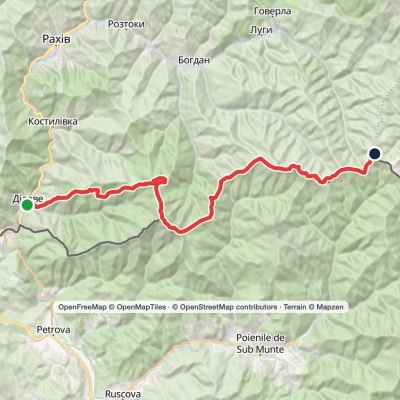
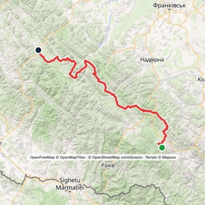
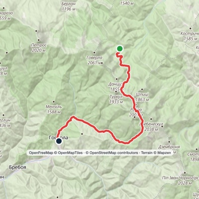
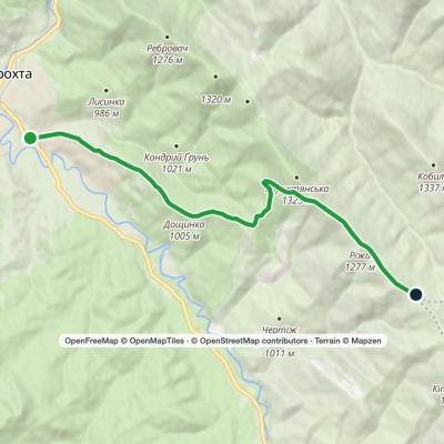
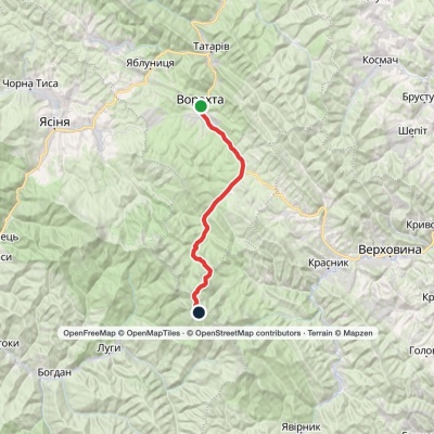
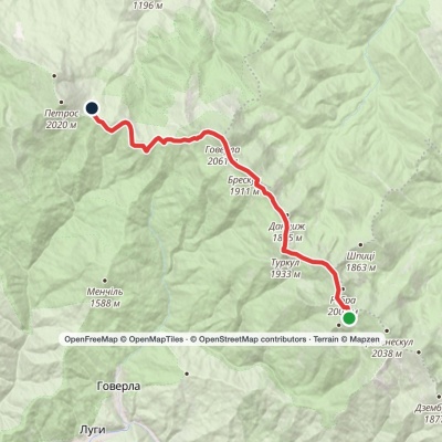
Kvasy village, via Mount Petros, Mount Hoverla, Mount Brebeneskul and Mount Shpytsi to Zaroslyak base
3D map
147 views
Length: 46.2km
Total ascent: 2684m
Total descent: 3402m
Minimum altitude: 538m
Maximum altitude: 2024m
More
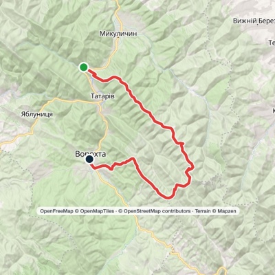
Mykulychyn village – Mount Rokyta

Mykulychyn village – Mount Rokyta

Ring routes
Has green marking.
3D map
145 views
Length: 22.1km
Total ascent: 1196m
Total descent: 1196m
Minimum altitude: 585m
Maximum altitude: 1088m
More
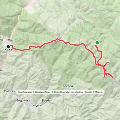
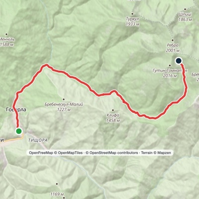
Luhy village – Lake Brebeneskul

Luhy village – Lake Brebeneskul

Two-day routes
Unmarked
Passes through peaks: Mount Gutin Tomnatik
3D map
100 views
Length: 16.4km
Total ascent: 1580m
Total descent: 430m
Minimum altitude: 647m
Maximum altitude: 1800m
More
Zaroslyak base, via Lake Nesamovyte, Mount Rebra and Lake Brebeneskul to Luhy village

Zaroslyak base, via Lake Nesamovyte, Mount Rebra and Lake Brebeneskul to Luhy village

Three days or more
Unmarked
Passes through peaks: Mount Danzig, Mount Turkul, Mount Rebra, Mount Gutin Tomnatik, Mount Brebeneskul
3D map
115 views
Length: 27.7km
Total ascent: 755m
Total descent: 1394m
Minimum altitude: 683m
Maximum altitude: 1966m
More
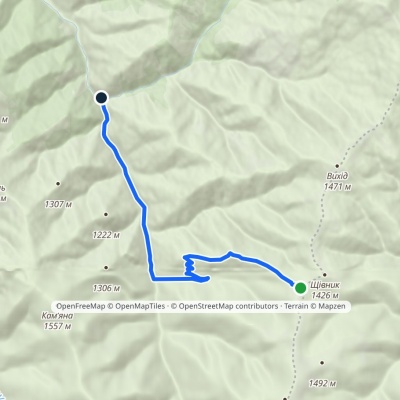
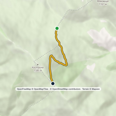
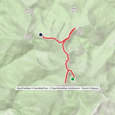
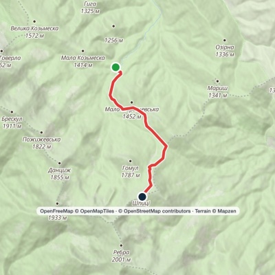
Zaroslyak base – Mount Shpytsi

Zaroslyak base – Mount Shpytsi

One-day routes
Unmarked
Passes through peaks: Mount Gomul, Mount Shpytsi
3D map
102 views
Length: 6.9km
Total ascent: 814m
Total descent: 68m
Minimum altitude: 1105m
Maximum altitude: 1851m
More
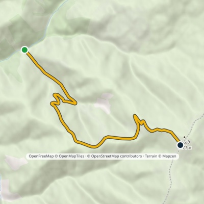
Zaroslyak base – Mount Shpytsi

Zaroslyak base – Mount Shpytsi

One-day routes
Unmarked
Passes through peaks: Mount Gomul, Mount Shpytsi
3D map
107 views
Length: 6.1km
Total ascent: 769m
Total descent: 55m
Minimum altitude: 1132m
Maximum altitude: 1846m
More
Zaroslyak base – Mount Shpytsi – Mount Rebra – Zaroslyak base

Zaroslyak base – Mount Shpytsi – Mount Rebra – Zaroslyak base

Ring routes
Unmarked
Passes through peaks: Mount Gomul, Mount Shpytsi, Mount Rebra
3D map
103 views
Length: 15.2km
Total ascent: 1010m
Total descent: 1011m
Minimum altitude: 1146m
Maximum altitude: 1932m
More
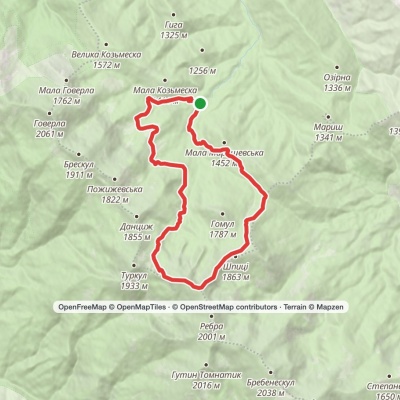
Zaroslyak base, via Lake Nesamovyte and Mount Shpytsi to Zaroslyak base

Zaroslyak base, via Lake Nesamovyte and Mount Shpytsi to Zaroslyak base

Ring routes
Unmarked
Passes through peaks: Mount Gomul, Mount Shpytsi, Mount Rebra, Mount Turkul, Mount Danzig
3D map
138 views
Length: 18.2km
Total ascent: 937m
Total descent: 923m
Minimum altitude: 1162m
Maximum altitude: 1964m
More
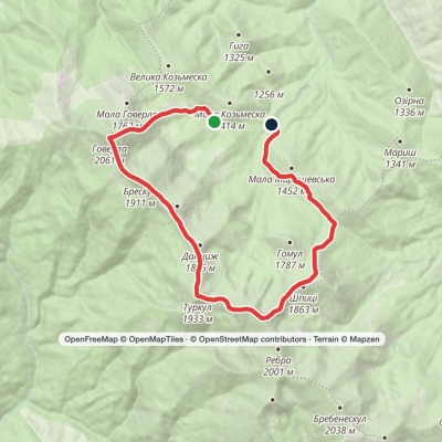
Zaroslyak base, via Mount Hoverla, Lake Nesamovyte and Mount Shpytsi to Zaroslyak base

Zaroslyak base, via Mount Hoverla, Lake Nesamovyte and Mount Shpytsi to Zaroslyak base

Ring routes
Unmarked
Passes through peaks: Mount Hoverla, Mount Breskul, Mount Pozhyzhevska, Mount Danzig, Mount Turkul, Mount Rebra, Mount Shpytsi, Mount Gomul
3D map
131 view
Length: 17.6km
Total ascent: 1382m
Total descent: 1494m
Minimum altitude: 1147m
Maximum altitude: 2045m
More
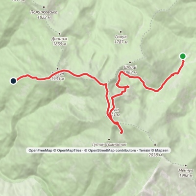
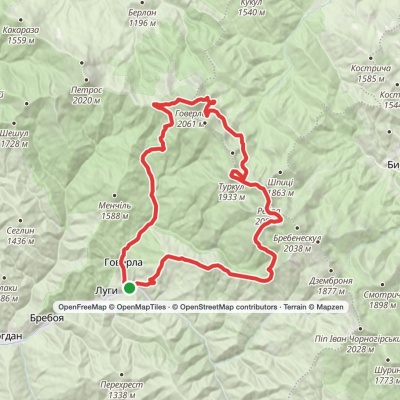
Luhy village, via Mount Hutyn Tomnatyk, Lake Brebeneskul, Lake Nesamovyte and Mount Hoverla to Luhy village
3D map
99 views
Length: 45.4km
Total ascent: 3607m
Total descent: 3607m
Minimum altitude: 650m
Maximum altitude: 2039m
More
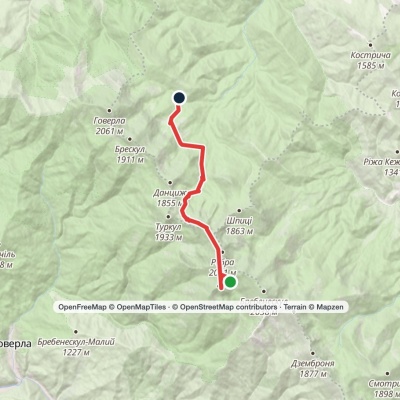
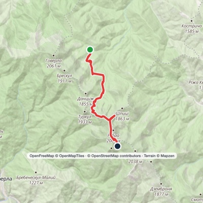
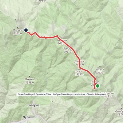
Lake Brebeneskul, via Mount Hutyn Tomnatyk and Lake Nesamovyte to Zaroslyak base

Lake Brebeneskul, via Mount Hutyn Tomnatyk and Lake Nesamovyte to Zaroslyak base

One-day routes
Unmarked
Passes through peaks: Mount Gutin Tomnatik, Mount Rebra, Mount Turkul, Mount Danzig
3D map
131 view
Length: 11.9km
Total ascent: 960m
Total descent: 1587m
Minimum altitude: 1160m
Maximum altitude: 1990m
More
Lake Brebeneskul, via Mount Rebra, Lake Nesamovyte and Mount Hoverla to Holovcheska polonyna

Lake Brebeneskul, via Mount Rebra, Lake Nesamovyte and Mount Hoverla to Holovcheska polonyna

Two-day routes
Unmarked
Passes through peaks: Mount Gutin Tomnatik, Mount Rebra, Mount Turkul, Mount Danzig, Mount Pozhyzhevska, Mount Breskul, Mount Hoverla
3D map
102 views
Length: 16.7km
Total ascent: 872m
Total descent: 1174m
Minimum altitude: 1494m
Maximum altitude: 2056m
More
Lake Brebeneskul, via Mount Rebra and Mount Shpytsi to Lake Nesamovyte

Lake Brebeneskul, via Mount Rebra and Mount Shpytsi to Lake Nesamovyte

One-day routes
Unmarked
Passes through peaks: Mount Gutin Tomnatik, Mount Rebra, Mount Shpytsi, Mount Turkul
3D map
111 views
Length: 7km
Total ascent: 421m
Total descent: 464m
Minimum altitude: 1737m
Maximum altitude: 1999m
More
Lake Brebeneskul, via Mount Hutyn Tomnatyk, Mount Rebra and Mount Hoverla to Holovcheska polonyna

Lake Brebeneskul, via Mount Hutyn Tomnatyk, Mount Rebra and Mount Hoverla to Holovcheska polonyna

Two-day routes
Unmarked
Passes through peaks: Mount Gutin Tomnatik, Mount Rebra, Mount Turkul, Mount Danzig, Mount Pozhyzhevska, Mount Breskul, Mount Hoverla
3D map
98 views
Length: 16.3km
Total ascent: 620m
Total descent: 909m
Minimum altitude: 1515m
Maximum altitude: 2022m
More
Zaroslyak base, via Lake Nesamovyte and Mount Shpytsi to Lake Brebeneskul

Zaroslyak base, via Lake Nesamovyte and Mount Shpytsi to Lake Brebeneskul

One-day routes
Unmarked
Passes through peaks: Mount Danzig, Mount Turkul, Mount Rebra, Mount Shpytsi, Mount Gutin Tomnatik
3D map
109 views
Length: 13.6km
Total ascent: 1251m
Total descent: 731m
Minimum altitude: 1260m
Maximum altitude: 1966m
More