First Marked Tourist Trail in Slovakia
Trail map
Route, springs and shelters: © OpenStreetMap contributors (ODbL) · elevation: Copernicus DEM © DLR e.V., © Airbus DS · Data & licences
About the trail
Route First Marked Tourist Trail in Slovakia. Has red marking (local route №0001M, KST). Waymarking data: OpenStreetMap (© OpenStreetMap contributors, ODbL).
Officially marked local tourist route No. 0001M. The marking is red, with a triangle in the corner on a white background. Marked and maintained by: KST. Length of the route — 5.1 km. Location: mountain range — Central Slovakian Mountains, Slovakia.
At a glance
A short route of 5.1 km with 200 m of ascent. Estimated walking time: about 1.5 h, not counting stops. Difficulty: easy. Waymarking: red.
Route stages
- 0–1.5 kmClimb of 180 m to Červená studňa Pass
- 1.5–5 kmGentle ups and downs at 760–800 m
Steepest kilometre: km 0.5–1.5, a climb of 140 m (≈14%), near Old Castle in Banská Štiavnica.
Water and overnight stays
Springs near the trail: at km 0, 1.5 and 3.
Huts and shelters near the trail: Hut below Šobov (km 1.5).
When to go
The route can be walked most of the year; it is most comfortable from April to October.
Getting there
This is a one-way route: the finish is 2 km from the start in a straight line, so plan your way back in advance.
FAQ
- How long does the route take?
- Estimated walking time: about 1.5 h, not counting stops.
- Is there water on the route?
- Springs near the trail: at km 0, 1.5 and 3.
- Where can I stay overnight?
- Huts and shelters near the trail: Hut below Šobov (km 1.5).
Water and shelter on the route
- Tap Štiavnický div – studňa na strechekm 0 from the start · 230 m off the path · Not verified · 608 m
- St. John of Nepomuk Spring, 772 mkm 1.4 from the start · Not verified · 772 m
- Hut below Šobovkm 1.6 from the start · 50 m off the path · Not verified · 793 m
- Tirtsov Springkm 3.2 from the start · 100 m off the path · Not verified · 796 m
Comments
Trails nearby
All trails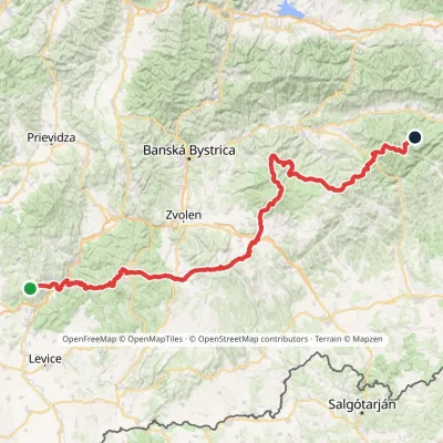 HardMulti-dayMarkedRudná magistrála: Veľký Inovec KadakElevation profile196–1 458 m195.4 kmascent 6 404 m
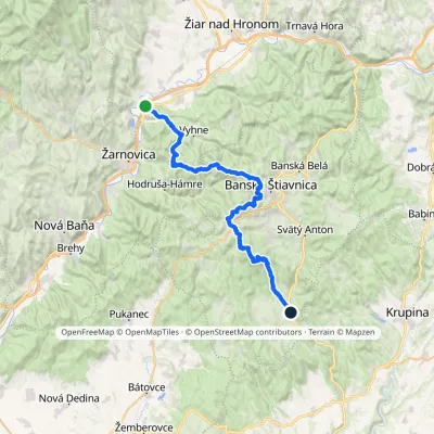 HardMulti-dayMarkedAndrej Kmeť TrailElevation profile231–1 011 m39.6 kmascent 1 216 m≈ 12.5 h walking
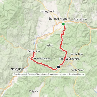 HardMulti-dayMarkedŽarnovica, station Žiar nad Hronom, stationElevation profile210–940 m42.1 kmascent 2 364 m
Craft nearby
All craft places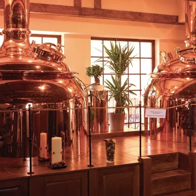 Craft beer & breweriesERB brewery in Banská Štiavnica: brewery tour and tastingunder 1 km from the trailBanská Štiavnica is an old mining town in the caldera of an extinct volcano and a UNESCO World Heritage site.
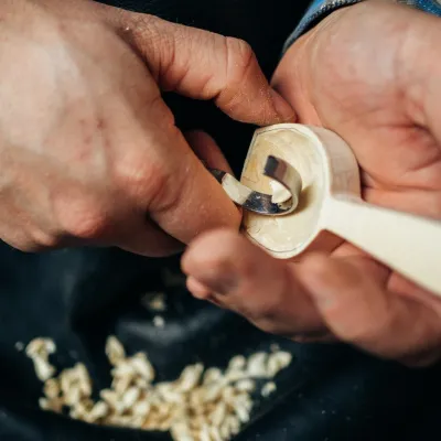 Crafts & workshopsDo dielne, Počúvadlo: woodcarving courses near Banská Štiavnica11 km from the trailHere, in the quiet among the hills, works the small workshop Do dielne (“To the workshop”). Its owner Dušan Budinský ran a hairdresser’s in Bratislava for eight years,...
 Craft producersKremnica gingerbread: the Haurík family bakery since 192227 km from the trailKremnica is an old mining town in the Kremnica Mountains where coins have been struck for more than six centuries.
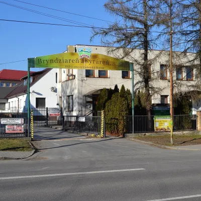 Cheese dairies & pasturesZvolenská Slatina bryndza dairy: the oldest, since 179729 km from the trailBryndza with more than 220 years behind it Zvolenská Slatina is a large village in the Podpoľanie region, a few kilometres from Zvolen, at the foot of the volcanic...
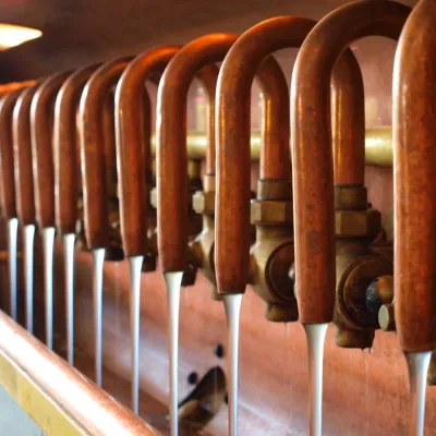 Craft beer & breweriesUrpiner brewery in Banská Bystrica: tour and beer from the tank32 km from the trailBanská Bystrica is the centre of Central Slovakia and grew rich on copper mining in the 14th–16th centuries.
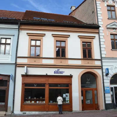 Craft shopsÚĽUV Banská Bystrica: folk-craft shop and craft school36 km from the trailÚĽUV (Ústredie ľudovej umeleckej výroby, the Centre for Folk Art Production) is a state institution that has looked after Slovak folk crafts since 1945: it keeps a...
