Condition
Not verifiedNo recent reports. Carry water and, if you pass by, tell us what you saw.
Last edited on the OSM map 04.03.2023
- 781 m
- Marked as drinkable
About
Skole Beskids range, about 780 m above sea level. Mount Parashka (1 268 m) is about 2.1 km away. The nearest settlement is Krushelnytsia, about 4.1 km in a straight line. 7 of the site’s trails pass nearby, including “Skole, via Mount Parashka and Hurkalo Waterfall to Korchyn village”.
The water is marked as drinkable on the map, but nobody guarantees its quality.
In an emergency in the mountains call the rescuers: 101 or 112.
Comments
Travellers’ experience: reports, tips, questions.
No one has written here yet. Be the first — your experience helps others.
On the map
Coordinates: 49.07954, 23.44069
How to get there
Trails nearby
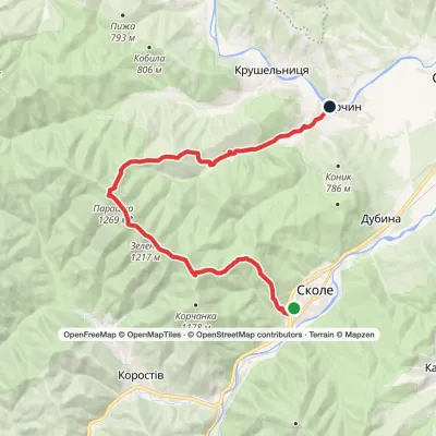 HardOne-dayMarkedSkole to Korchyn villagevia Mount Parashka, Hurkalo WaterfallElevation profile399–1 268 m21.9 kmascent 966 m≈ 7 h walking
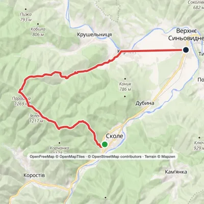 HardOne-daySkole to Verkhnie Synovydne villagevia Mount Parashka, Hurkalo Waterfall +1Elevation profile389–1 268 m26.8 kmascent 1 002 m≈ 8.5 h walking
 ModerateOne-dayMarkedSkole to Hurkalo Waterfallvia Mount ParashkaElevation profile513–1 268 m18.9 kmascent 897 m≈ 6 h walking
 Hard1–2 daysKorchyn village to Krushelnytsia villagevia Hurkalo Waterfall, Mount ParashkaElevation profile396–1 268 m39.2 kmascent 1 094 m≈ 11.5 h walking
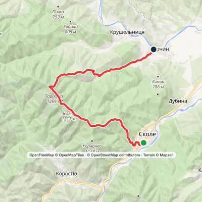 HardOne-dayMarkedSkole to Korchyn villagevia Mount Parashka, Hurkalo WaterfallElevation profile400–1 268 m22 kmascent 964 m≈ 7 h walking
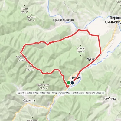 Hard1–2 daysSkole loopvia Mount Parashka, Hurkalo Waterfall +1Elevation profile396–1 268 m38.1 kmascent 1 100 m≈ 11.5 h walking
Nearest settlement: Krushelnytsia, about 4.1 km in a straight line.
Report the condition
Been here recently? Tell us what you saw and add photos — your report appears on the page right away with today’s date.
No photos yet — send yours together with a condition report.
