Spring
Spring under Hanesová 1
Slovakia · Slovak Paradise range · 912 m
Condition
Not verifiedNo recent reports. Carry water and, if you pass by, tell us what you saw.
Last edited on the OSM map 29.06.2025
- 912 m
- Marked as drinkable
About
Local name: Pod Hanesovou 1. Slovak Paradise range, about 910 m above sea level. 3 of the site’s trails pass nearby, including “Dedinky, stop – Pod Hanesovou”.
The water is marked as drinkable on the map, but nobody guarantees its quality.
On the map
Coordinates: 48.85533, 20.30941
How to get there
Trails nearby
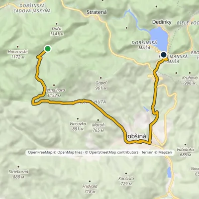 ModerateOne-dayMarkedDedinky, stop Pod HanesovouElevation profile453–1 056 m14.7 kmascent 560 m≈ 5 h walking
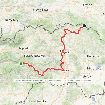 HardMulti-dayMarkedPred Čuntavou Dukliansky PassElevation profile227–1 293 m280.7 kmascent 8 346 m
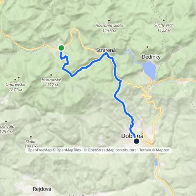 ModerateOne-dayMarkedDobšiná Dobšinská ľadová jaskyňaElevation profile458–1 122 m13.2 kmascent 434 m≈ 4 h walking
Report the condition
Been here recently? Tell us what you saw and add photos — your report appears on the page right away with today’s date.
No photos yet — send yours together with a condition report.
