Condition
Weak flowWeak flow — slow to fill, may disappear in hot weather.
- 1 154 m
- Dries out in summer or drought
- Marked as drinkable
About
Borzhava range, about 1 150 m above sea level. The nearest settlement is Vovchyi, about 4.7 km in a straight line. 6 of the site’s trails pass nearby, including “Vovchyi village, via Mount Stiy, Mount Hemba, Mount Zhyd-Mahura and Pryslip Pass to Mizhhiria”.
This spring dries out in summer or in dry years, so do not rely on it as your only water. The flow is weak: filling a bottle takes time. The water is marked as drinkable on the map, but nobody guarantees its quality.
On the map
Coordinates: 48.61634, 23.14892
How to get there
Trails nearby
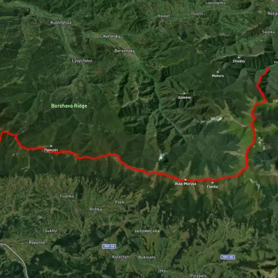 HardMulti-dayUnmarkedVovchyi village to Mizhhiriavia Mount Stiy, Mount Hemba +2Elevation profile342–1 668 m45.1 kmascent 2 350 m
 HardTwo-dayUnmarked1662 km railway halt to Volovetsvia Mount Stiy, Mount Velykyi VerkhElevation profile378–1 646 m23.5 kmascent 1 479 m≈ 9 h walking
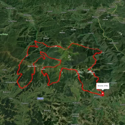 HardMulti-dayUnmarkedVolovets village loopvia Mount Stiy, Mount Zhyd-Mahura +2Elevation profile342–1 518 m96.1 kmascent 5 908 m
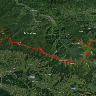 HardMulti-dayUnmarked1662 km railway station to Mizhhiriavia Mount Stiy, Mount Hemba +1Elevation profile372–1 672 m54.2 kmascent 2 497 m
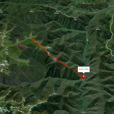 EasyOne-dayMarkedOsa Mount StiyElevation profile376–1 338 m7.5 kmascent 164 m≈ 2 h walking
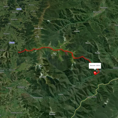 HardTwo-dayUnmarkedPodobovets village to Vovchyi villagevia Mount Velykyi Verkh, Mount StiyElevation profile287–1 665 m21.7 kmascent 1 154 m≈ 7.5 h walking
Nearest settlement: Vovchyi, about 4.7 km in a straight line.
Report the condition
Been here recently? Tell us what you saw and add photos — your report appears on the page right away with today’s date.
No photos yet — send yours together with a condition report.
