Condition
Not verifiedNo recent reports. Carry water and, if you pass by, tell us what you saw.
- 1 503 m
- Marked as drinkable
About
Chornohora range, about 1 500 m above sea level. Mount Velyka Kozmeska (1 571 m) is about 1.2 km away. The nearest settlement is Luhy, about 13 km in a straight line. 8 of the site’s trails pass nearby, including “Kryvopillia village, via Mount Shpytsi and Mount Hoverla to Zaroslyak base”.
The water is marked as drinkable on the map, but nobody guarantees its quality.
On the map
Coordinates: 48.16594, 24.51924
How to get there
Trails nearby
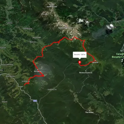 HardMulti-dayUnmarkedKryvopillia village to Zaroslyak basevia Mount Shpytsi, Mount HoverlaElevation profile865–2 047 m33.3 kmascent 2 538 m≈ 13.5 h walking
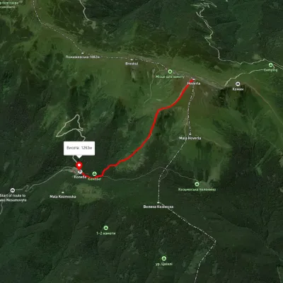 EasyOne-dayMarkedZaroslyak base Mount HoverlaElevation profile1 264–2 031 m3.2 kmascent 77 m≈ 60 min walking
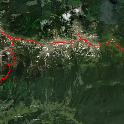 HardMulti-dayUnmarkedDzembronia village to Zaroslyak basevia Mount Pip Ivan Chornohirskyi, Mount Rebra +1Elevation profile817–2 040 m35 kmascent 2 549 m≈ 14 h walking
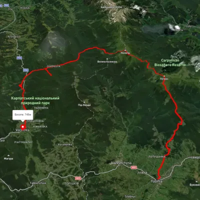 HardMulti-dayUnmarkedYasinia to Vorokhtavia Mount Petros, Mount HoverlaElevation profile650–2 049 m51.7 kmascent 2 112 m
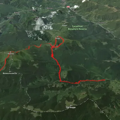 HardMulti-dayUnmarkedLazeshchyna village to Zaroslyak basevia Kozmeshchyk, Mount Petros +1Elevation profile770–2 059 m31.6 kmascent 2 164 m≈ 12 h walking
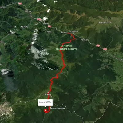 HardMulti-dayUnmarkedKvasy village to Zaroslyak basevia Mount Petros, Mount HoverlaElevation profile549–2 059 m28.9 kmascent 2 395 m≈ 12 h walking
Nearest settlement: Luhy, about 13 km in a straight line.
Report the condition
Been here recently? Tell us what you saw and add photos — your report appears on the page right away with today’s date.
No photos yet — send yours together with a condition report.
