Condition
Dried upReported dry. Carry enough water.
Last edited on the OSM map 04.06.2021
- 1 337 m
- Dries out in summer or drought
- Marked as drinkable
About
Marmarosy range, about 1 340 m above sea level. The nearest settlement is Bohdan, about 6 km in a straight line. 6 of the site’s trails pass nearby, including “Rakhiv, via Mount Pip Ivan Marmaroskyi, Mount Mika-Mare and Mount Pip Ivan Chornohirskyi to Dzembronia village”.
This spring dries out in summer or in dry years, so do not rely on it as your only water. The water is marked as drinkable on the map, but nobody guarantees its quality.
In an emergency in the mountains call the rescuers: 101 or 112.
Comments
Travellers’ experience: reports, tips, questions.
No one has written here yet. Be the first — your experience helps others.
On the map
Coordinates: 48.00355, 24.28463
How to get there
Trails nearby
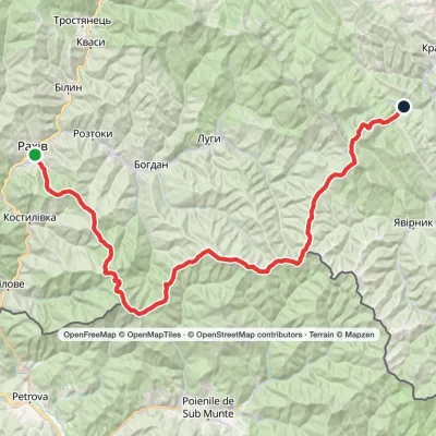 HardMulti-dayMarkedRakhiv to Dzembronia villagevia Mount Pip Ivan Marmaroskyi, Mount Mika-Mare +1Elevation profile438–2 028 m67.8 kmascent 3 744 m
 Hard1–2 daysDilove village to Rakhivvia Mount Zherban, Mount Pip Ivan MarmaroskyiElevation profile437–1 936 m31.3 kmascent 1 849 m≈ 11 h walking
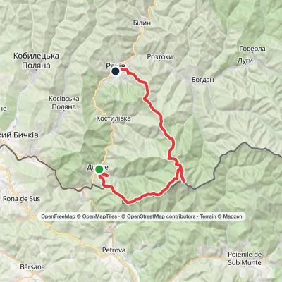 HardTwo-dayDilove village to Rakhivvia Mount Zherban, Mount Pip Ivan MarmaroskyiElevation profile346–1 936 m44.9 kmascent 1 990 m
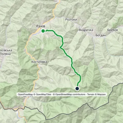 ModerateOne-dayMarkedRakhiv town Berlebashka polonynaElevation profile460–1 468 m17.1 kmascent 1 172 m≈ 6 h walking
 HardMulti-dayMarkedRakhiv to Iltsi villagevia Mount Pip Ivan Marmaroskyi, Mount Mika-Mare +1Elevation profile437–2 028 m88.2 kmascent 3 671 m
 HardTwo-dayMarkedDilove village to Rakhivvia Mount Pip Ivan MarmaroskyiElevation profile375–1 936 m47.1 kmascent 1 880 m
Nearest settlement: Bohdan, about 6 km in a straight line.
Report the condition
Been here recently? Tell us what you saw and add photos — your report appears on the page right away with today’s date.
No photos yet — send yours together with a condition report.
