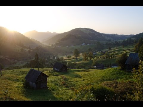
Bystrets
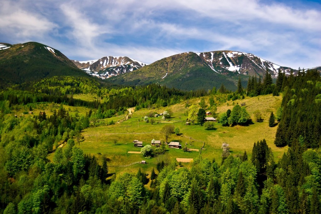
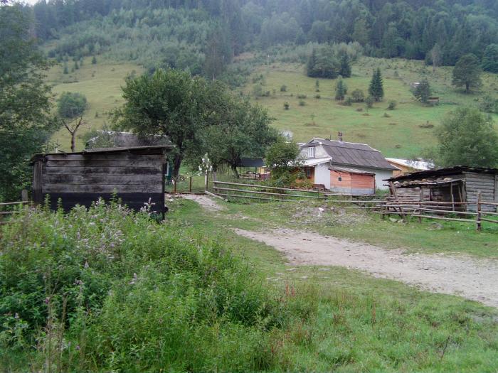
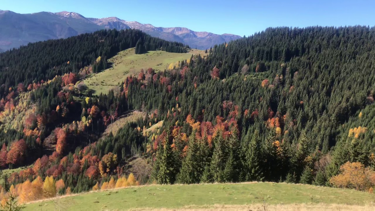
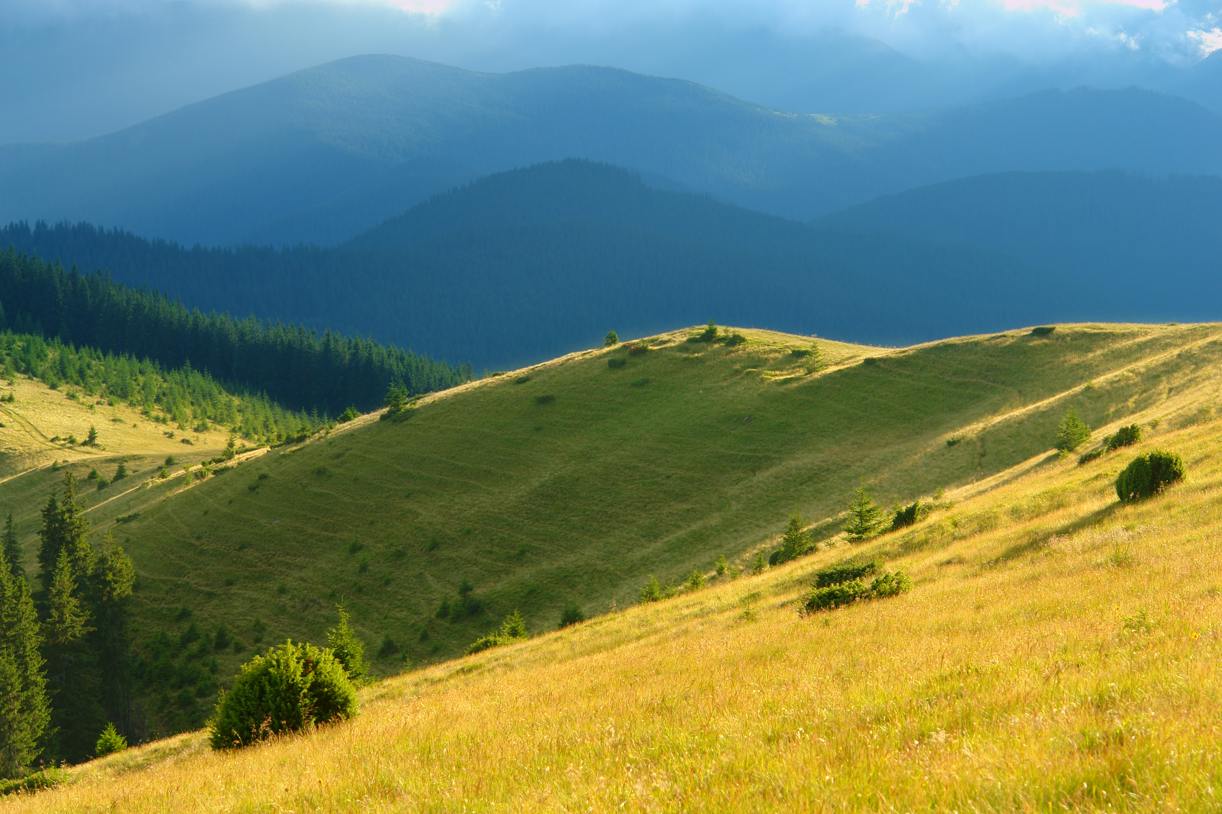
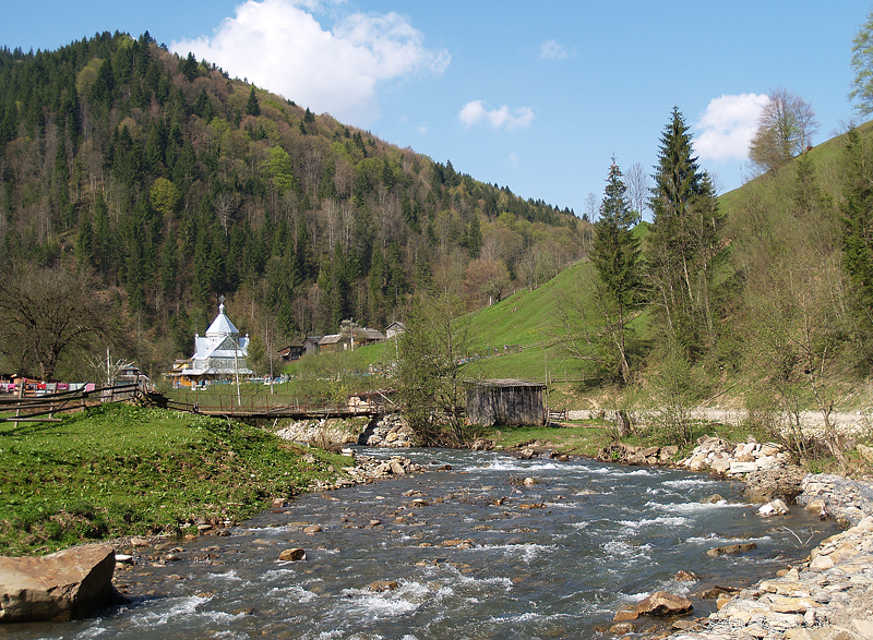
Bystrets is a small Hutsul village in the Verkhovyna district of Ivano-Frankivsk region with a population of 362 people. It is 19 km from the district center and 50 km from the Vorokhta railway station. The high-mountainous river Bystrets flows through the village.
On the territory of Bystrets there is a high-mountain meadow Hajyna, where large herds of cows and flocks of sheep graze and the ancient way of life of the meadow farm is preserved. The village of Bystrets occupies the basin of the Dzembronia River.
Peaks surrounding the village of Bystrets:
- Mount Brebeneskul (2035 m)
- Mount Rebra (2001 m)
- Mount Shpytsi (1864 m)
- Mount Gadzhina (1664 m)
- Mount Marish (1345 m)
- Mount Marishevskaya (1564 m)
- Mount Ozirny (1362 m)
- Mount Kostrycha (1586 m)
Bystrets was founded as a settlement in the XV century. The first mention of the village dates back to 1893. Until 1939, it was part of the village of Zhabiio. Now it is a separate village. Ivan Franko often visited Bystrets. On the advice of Kamenyar, a group of villagers led by M. Zelenchuk, F. Saviuk, S. Slovak, and P. Biloholovyi obtained permission from the authorities to open a reading room and a school in the village.
The Polish writer, philosopher, and translator Stanisław Wincęs spent his childhood in Bystrec, returned to his estate after being imprisoned by the NKVD, and then fled abroad. In 1934-1938, Polish composer Stanisław Merczynski recorded Hutsul songs here.
Mountain Search and Rescue Service of Verkhovyna, +38 (03432) 2-19-41, +38 (067) 342-04-96.
What to visit
Landmarks, museums and places of interest near Bystrets.
 Mountain meadowPolonyna Psarivka, BystretsVerkhovynaaltitude 610 m2.8 km from the centreUkrainians, for example, call such meadows polonyny. Today we will talk about the Psarivka meadow.
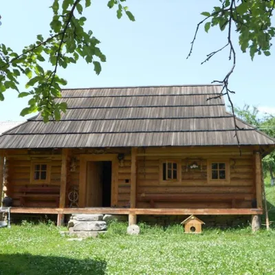 MuseumMuseum of Hutsul life, KrasnykKrasnyk4 km from the centreThe museum has been open since 2011. It is housed in a Hutsul house, which was built in 2009 on the model of the eighteenth century.
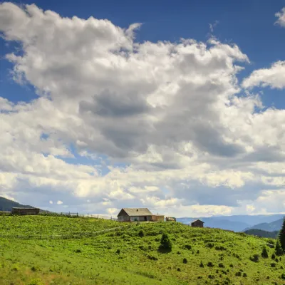 Mountain meadowPolonyna Krinta (Krenta)Iltsialtitude 1 300 m · Hryniava Mountains range5 km from the centre"Polonyna Krynta is a place where you can taste the authentic taste of Hutsul cheese, various museums, rafting on the Cheremosh, Prut, and Black Tisza rivers, mountain...
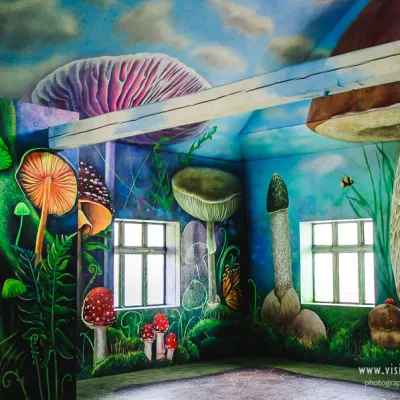 MuseumMuseum of mushrooms, IltsiIltsi5.8 km from the centreThe Mushroom Museum opens its doors to the fabulous and amazing world of mushrooms and forests. They know everything about mushrooms here!
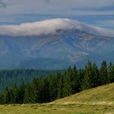 NatureKostrich RidgeKryvopillia7.8 km from the centreThe ridge is located in the Verkhovyna district and is a well-known tourist attraction in the Carpathians.
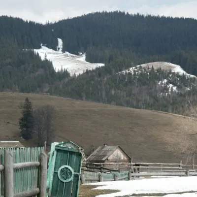 NatureKryvopillia Pass, KryvopilliaKryvopillia9.9 km from the centreKryvopillia Pass is one of the most difficult passes in the Ukrainian Carpathians. It is located within the Verkhovyna-Putyla lowlands (in its northwestern part), on...
Where to stay
Hotels, guesthouses and cottages in and around Bystrets.
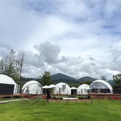 HotelGlamping EcoSpace EthnoIltsi6.3 km from the centreHot tubPoolNearby: Polonyna Krinta 2.5 kmMuseum of mushrooms 2.8 km17 trails
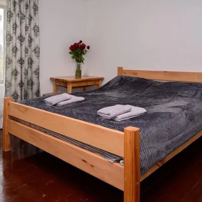 HomesteadHomestead "Sharm karpaty"Iltsi6.3 km from the centreSaunaSPABBQNearby: Polonyna Krinta 2.5 kmMuseum of mushrooms 2.8 km17 trails
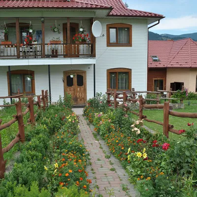 CottageCottage "Trembita" VerkhovynaVerkhovyna6.5 km from the centreSaunaBBQKitchenNearby: Museum of mushrooms 1.2 kmPolonyna Krinta 4.1 km17 trails
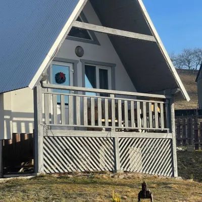 HomesteadHomestead "Bilosnizhny"Verkhovyna8.4 km from the centreHomestead "Bilosnizhny" is located in the village of Iltsi, 250 meters from the main road, 8 km to the center of the village of Verkhovyna, near the Tatariv-Verkhovyna...Nearby: Assumption Church 2.8 kmMt Bila Kobyla 5.9 km17 trails
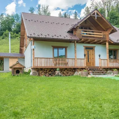 HomesteadHomestead "Pid Yasenem" VerkhovynaVerkhovyna7.8 km from the centreHot tubBBQKitchenNearby: Assumption Church 3.5 kmPolonyna Krinta 5.3 km17 trails
 HotelHotel-Restaurant "Bukov'yan"Kryvopillia9.5 km from the centreHotel-Restaurant "Bukov'yan" offers a cozy getaway in the Carpathians, far from the hustle and bustle of the city.Nearby: Kryvopillia Pass 800 mPolonyna Dil 2.4 km6 trails
Trails nearby
All trails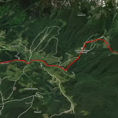 ModerateOne-dayUnmarkedBystrets village Mount ShpytsiElevation profile767–1 781 m12.5 kmascent 1 142 m≈ 5.5 h walkingunder 1 km from the centre
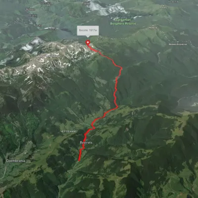 ModerateOne-dayMarkedBystrets village Mount Shpytsivia Maryshevska polonynaElevation profile781–1 916 m12.4 kmascent 1 671 m≈ 6.5 h walkingunder 1 km from the centre
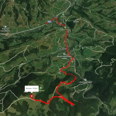 ModerateOne-dayUnmarkedIltsi village Vesnarka polonynaElevation profile634–1 263 m9.8 kmascent 750 m≈ 4 h walking1.4 km from the centre
Peaks nearby
All peaks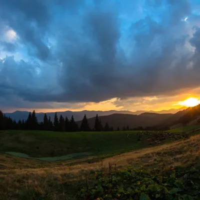 PeakMount KostrychKryvopilliaaltitude 1 544 m · Chornohora range5.8 km from the centreKostrych is a 1,544 m summit on the Kostrycha ridge, in the Verkhovyna district of Ivano-Frankivsk Oblast.
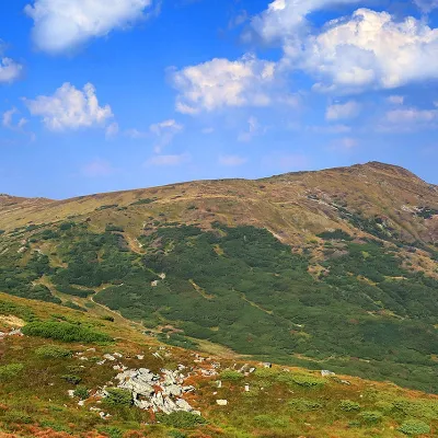 PeakMount SmotrychDzembroniaaltitude 1 898 m · Chornohora range7 km from the centre55 trails to the topMount Smotrych (also known as Smotrets) is an 1898-meter peak of the Ukrainian Carpathians. It is located in the Carpathian National Nature Park on the Chornohora...
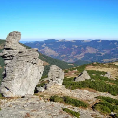 PeakMount Vukhatyi KaminVerkhovyna districtaltitude 1 864 m · Chornohora range7 km from the centreMount Eared Stone impresses tourists with intricate forms of stone statues. There are no limits to human imagination - everyone sees what his imagination tells him:...
What's nearby
Video