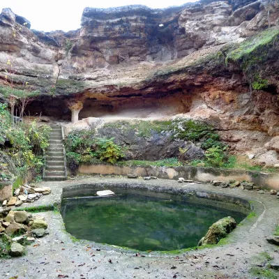
Godeanu (Șureanu Mountains)
Godeanu (Rom. Vârful Godeanu) is a 1,656 m peak in the Orăștie Mountains, the northern part of the Șureanu Mountains (Southern Carpathians), in Hunedoara County. It should not be confused with the peak of the same name in the Godeanu Mountains to the southwest (on this site as “Godeanu (peak)”). A steel cross stands on the summit. The nearest village is Grădiștea de Munte (about 9.3 km in a straight line), and on the slopes below the ridge lies the Dacian site of Sarmizegetusa Regia.
Getting there / routes
The best-known approach is the red cross trail “Costești – Sarmizegetusa Regia – Godeanu peak”. According to muntii-nostri.ro, it starts at the Costești recreation area with a tourist information center and follows the Grădiștea valley—this is the entrance to the Grădiștea Muncelului – Cioclovina Nature Park. After about 8 km is the village of Grădiștea de Munte, and another 8 km up the valley is the foot of Grădiștea hill at the confluence of the Godeanu and Albe valleys. To Sarmizegetusa Regia, the markings follow the paved DJ705A road (19 km), but at this confluence, an older and more scenic option branches off—a well-marked path along the Grădiștea ridge through beech forest, leading directly to the monument’s ticket office.
After visiting Sarmizegetusa, the trail climbs northeast through dense forest, crosses a forest road, and then follows it uphill. Exiting the forest, it passes an ancient beech spared by loggers. From here, there are no more red cross markings, but ascending the pasture you’ll reach the Muncelului ridge near the namesake peak with a simple wooden cross. On the ridge road, turn right (east) over several minor summits; near Godeanu, the road bypasses the peak, so it’s better to take the direct path—just 250 m and 35 m elevation to the summit. The entire route is 22.9 km, about 9 hr 45 min and 1,767 m ascent; the authors rate it as easy and suitable for mountain bikes, but long—8–10 hours on foot.
Another route, blue stripe from Costești via Porumbelu Mare peak (40.2 km, about 18 hours), also mostly follows roads. According to muntii-nostri.ro, it passes the Dacian fortress Costești-Blidaru (about 150 m off the route), follows the Pietrosu ridge, from where you can see the Mureș floodplain and the Retezat Mountains in clear weather, passes the hamlet of Leurda, the villages of Târsa and Prigodniște, and then the Poiana Omului clearing with ancient scattered beeches, a very old cross, and a motorcyclist’s monument. Further along the ridge: alternating meadows and beech woods, a covered roadside chapel-shelter, a saddle with a sheepfold (150 m away) and a spring (50 m away).
Safety, season and rules
Trail markings on both routes disappear in places—bring an offline map. Sarmizegetusa Regia has a ticket office at the entrance—entry is by ticket. The nearest springs marked on the site are Spring (Măgureni) and Spring (Grădiștea de Munte), 1 211 m (about 2.7–3 km away). Bears are common in the Romanian Carpathians: stay on marked trails, make noise, avoid dusk, and don’t keep food in your tent; near sheepfolds, sheepdogs may attack—don’t run, stop and shield yourself with your backpack (advice from Salvamont România).
In case of emergency, call the national mountain rescue dispatcher 0SALVAMONT — 0725 826 668 or 112.
Getting there from Ukraine
Border crossings
- Porubne – Siret — road and pedestrian, 24/7
- Diakivtsi – Racovăț — road and pedestrian, 24/7 No freight traffic.
- Krasnoilsk – Vicovu de Sus — road and pedestrian, 08:00–20:00 Cars up to 3.5 t and pedestrians only; not 24/7.
- Solotvyno – Sighetu Marmației — road and pedestrian, 24/7 Passenger traffic only: vehicles up to 3.5 t with up to 9 seats, pedestrians.
- Diakove – Halmeu — road, 24/7 No pedestrian crossing.
By car
Rakhiv – Petroșani ≈450 km, ≈6 h 36 min (via Solotvyno – Sighetu Marmației); Ivano-Frankivsk – Petroșani ≈584 km, ≈8 h 55 min (via Solotvyno – Sighetu Marmației); Chernivtsi – Petroșani ≈539 km, ≈9 h 19 min (via Krasnoilsk – Vicovu de Sus). Times without border queues, our road routing (GraphHopper, OSM).
Checked 03.11.2026; border crossing hours and timetables change — check before you travel.
Comments
Travellers’ experience: reports, tips, questions.
No one has reported on this trail yet. Been here lately? Tell others what it is like now.
Water and shelter nearby
- Spring (Măgureni)2.7 km · Not verified · 1 214 m
- Spring (Grădiștea de Munte), 1 211 m3 km · Not verified · 1 211 m
Trails nearby
All trails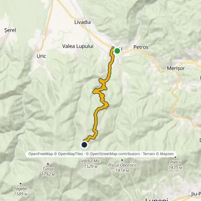 ModerateOne-dayMarkedBaru Tulișa RefugeElevation profile476–1 455 m14.7 kmascent 977 m≈ 5.5 h walking23 km from Godeanu (Șureanu Mountains)
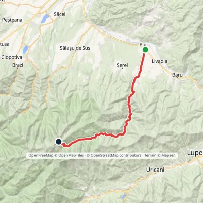 Hard1–2 daysMarkedPui Porțile ÎnchiseElevation profile427–2 263 m31.4 kmascent 1 898 m≈ 11 h walking24 km from Godeanu (Șureanu Mountains)
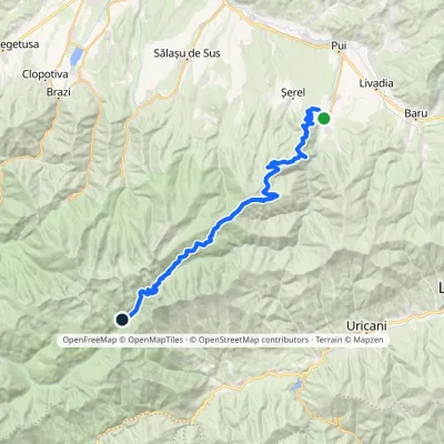 Hard1–2 daysMarkedHobița Poiana PelegiiElevation profile533–2 256 m34 kmascent 2 008 m≈ 12 h walking27 km from Godeanu (Șureanu Mountains)
Nearby attractions
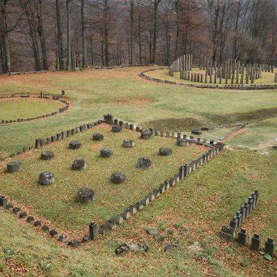 Historic siteSarmizegetusa Regia: Dacian capital, UNESCOGrădiștea de Munte3.1 km from Godeanu (Șureanu Mountains)The Dacian capital in the Orăștie Mountains Sarmizegetusa Regia is the ruin of the capital of the Dacian kingdom on Grădiștea Hill (Dealul Grădiștii) at about 1,200 m...
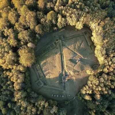 Historic siteCostești-Blidaru: Dacian fortress, UNESCOCostești14 km from Godeanu (Șureanu Mountains)Costești-Blidaru fortress stands on the summit of Blidaru hill at about 750 m above the left bank of the Grădiștea river (Apa Grădiștei), not far from the village of...
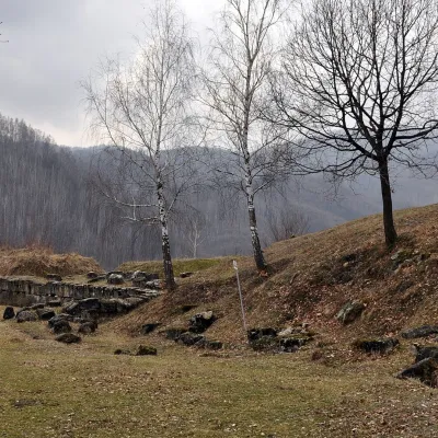 Historic siteCostești-Cetățuie: Dacian fortress, UNESCOCostești14 km from Godeanu (Șureanu Mountains)Costești-Cetățuie fortress stands on a steep hill above the valley of the Grădiștea river (Apa Grădiștei) near the village of Costești in Hunedoara County.