Iezeru Mic
Iezeru Mic (Rom. Vârful Iezeru Mic) is a 2,409 m peak in the Iezer-Păpușa Mountains (Southern Carpathians), in Argeș County. According to Romanian Wikipedia, it is one of the massif's peaks over 2,400 m. It stands in the southern part of the main ridge: the highest peak of the mountains, Iezeru Mare, lies 1.3 km to the northeast, and Roșu (Iezer-Păpușa) is 2.2 km to the north.
Below the summit to the east, about 1.4 km away, stands Iezer Hut, 2 125 m at around 2,125 m — the main base for overnight stays in this part of the mountains. There are several springs nearby: Spring below Capul Cățunului (east slope), 2 154 m, Spring below Capul Cățunului (east slope), 2 141 m, and Spring below Iezeru Mare (all about 1.2–1.3 km from the summit).
Getting there / routes
A marked red triangle route leads to the summit: "Bahna Rusului — Șețu Mountain — Groapele Saddle — Iezeru Mic peak". According to muntii-nostri.ro, it starts in the village of Nucșoara: up the Doamnei valley past the village of Slatina, across a bridge, then along a gravel road east through Bahna Saddle into the Râuşorul valley and up switchbacks to the treeless ridge. There, the direction changes to northeast: the trail passes below the Pepleu peak and saddle, returns to the ridge at Groapele Saddle, and traverses east below Obârșia peak, where it intersects the blue triangle route from the village of Cândești. Shortly after, you reach the Iezeru Mic summit. The entire route is 32.5 km, about 14 hours, 2,222 m ascent, difficult; part of the way can be done by bicycle.
From the summit, as described, you can follow the red stripe along the ridge north to Iezeru Mare, southeast to Voina hut, or descend east to Iezer hut.
For cyclists, muntii-nostri.ro suggests a challenging loop from the Râuşorul dam: about 7 km on gravel along the reservoir, a long climb to Portăreasa Saddle, past Cernat and Obârșia peaks to the highest point of the route — about 2,360 m below Iezeru Mic. From here, the descent leads past the Atheneului cross, where you can see the Iezer lake and hut, and further over Văcarea mountain.
The view from the top
According to the Bahna Rusului route description, from Groapele Saddle to the north you can clearly see the effects of mass logging in the Iezer-Păpușa Mountains.
Safety, season and rules
Approaches to Iezeru Mic are long, with no settlements along the route: plan to overnight at Iezer hut or in a tent. The ridge is exposed to wind and storms, and in winter avalanches are possible on steep slopes — only experienced and well-equipped hikers should attempt it then. Bears are common in the Romanian Carpathians: stay on marked trails, make noise, avoid hiking at dusk, and do not keep food in your tent; near sheepfolds, shepherd dogs may attack — do not run, stop and shield yourself with your backpack (advice from Salvamont România).
In case of emergency, call the national mountain rescue dispatcher 0SALVAMONT — 0725 826 668 or 112.
Getting there from Ukraine
Border crossings
- Porubne – Siret — road and pedestrian, 24/7
- Diakivtsi – Racovăț — road and pedestrian, 24/7 No freight traffic.
- Krasnoilsk – Vicovu de Sus — road and pedestrian, 08:00–20:00 Cars up to 3.5 t and pedestrians only; not 24/7.
- Solotvyno – Sighetu Marmației — road and pedestrian, 24/7 Passenger traffic only: vehicles up to 3.5 t with up to 9 seats, pedestrians.
- Diakove – Halmeu — road, 24/7 No pedestrian crossing.
By car
Chernivtsi – Bușteni ≈426 km, ≈7 h 32 min (via Diakivtsi – Racovăț); Rakhiv – Bușteni ≈454 km, ≈8 h 01 min (via Solotvyno – Sighetu Marmației); Uzhhorod – Bușteni ≈557 km, ≈9 h 15 min (via Diakove – Halmeu). Times without border queues, our road routing (GraphHopper, OSM).
Checked 03.11.2026; border crossing hours and timetables change — check before you travel.
Comments
Travellers’ experience: reports, tips, questions.
No one has reported on this trail yet. Been here lately? Tell others what it is like now.
Water and shelter nearby
- Spring below Capul Cățunului (east slope), 2 154 m1.2 km · Not verified · 2 154 m
- Spring below Capul Cățunului (east slope), 2 141 m1.3 km · Not verified · 2 141 m
- Spring below Iezeru Mare1.3 km · Not verified · 2 188 m
- Iezer Hut, 2 125 m1.4 km · Not verified · 2 125 m
- Spring on Muchia Oticu2.7 km · Not verified · 2 022 m
Trails nearby
All trails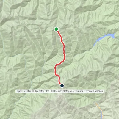 HardOne-dayMarkedCurmătura Brătilei Roșu PeakElevation profile1 852–2 469 m15 kmascent 896 m≈ 5 h walking2.2 km from Iezeru Mic
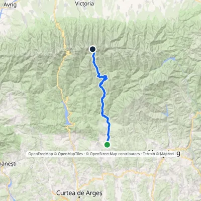 HardTwo-dayMarkedNucșoara Moldoveanu PeakElevation profile579–2 544 m46.3 kmascent 2 402 m12 km from Iezeru Mic
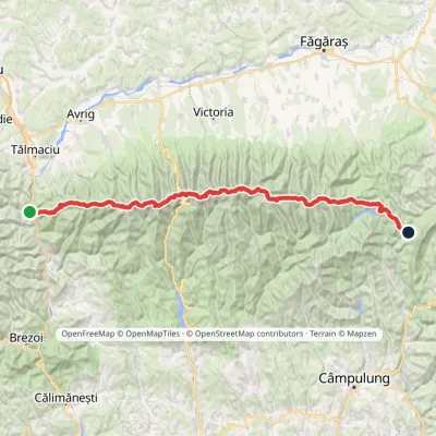 HardMulti-dayMarkedFăgăraș main ridge: Olt Valley Tămașului SaddleElevation profile358–2 525 m93.1 kmascent 6 545 m14 km from Iezeru Mic
Nearby attractions
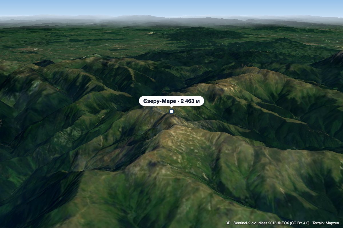 PeakIezeru Marealtitude 2 463 m1.3 km from Iezeru MicIezeru Mare (Romanian Vârful Iezeru Mare, also Iezerul Mare) is a 2,463 m summit in the Iezer-Păpușa Mountains, in Argeș County.
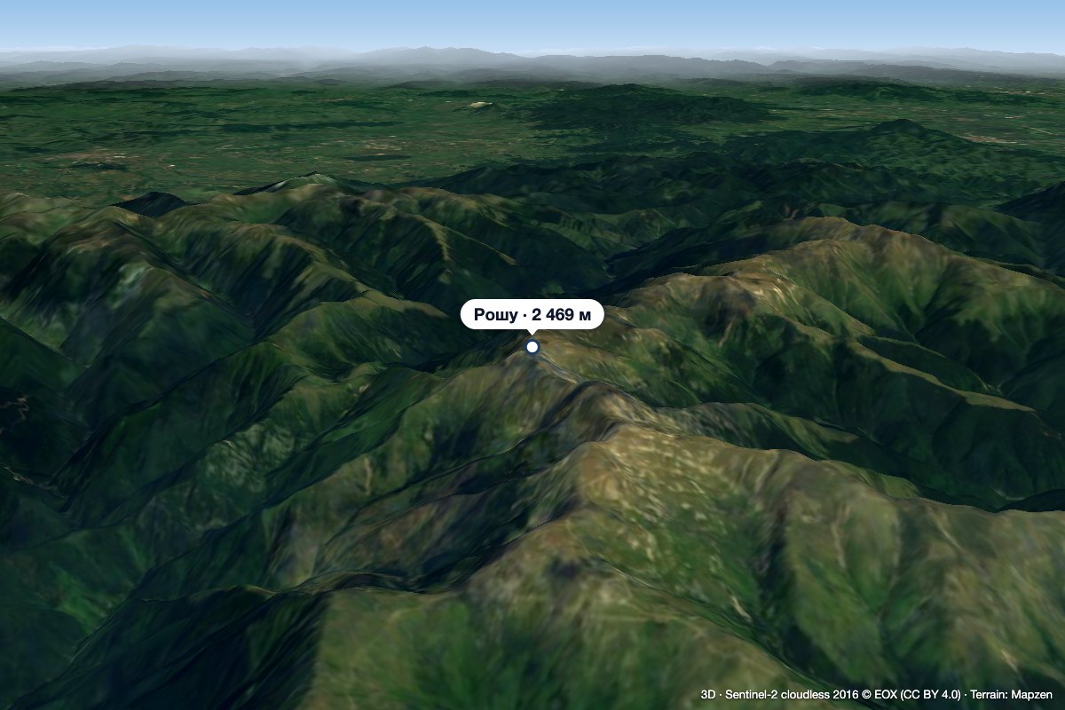 PeakRoșu (Iezer-Păpușa)altitude 2 469 m2.2 km from Iezeru Mic1 trail to the topRoșu (Romanian: Vârful Roșu, «the Red Peak») is the highest summit of the Iezer-Păpușa Mountains in the Southern Carpathians, 2,469 m above sea level (2,470 m on...
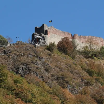 CastlePoenari Citadel: Vlad the Impaler's fortress above the ArgeșCăpățânenii Ungureni27 km from Iezeru MicPoenari Citadel (Cetatea Poenari, also Poienari) stands on the top of Mount Cetățuia above the gorge of the Argeș river, near the village of Căpățânenii Ungureni in...
Craft nearby
All craft places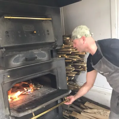 Craft producersDieter’s Bread in Câmpulung: wood-fired artisan breadCâmpulung21 km from Iezeru MicCâmpulung (also called Câmpulung Muscel) is an old town in Argeș County at the foot of the Iezer-Păpușa Mountains, on the road to the Rucăr–Bran pass.
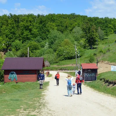 Wildlife parks & animal farmsLibearty Bear Sanctuary in Zărnești: a forest for rescued bearsVulcan38 km from Iezeru MicThe AMP Libearty Bear Sanctuary lies near the town of Zărnești in Brașov County, at the edge of a forest below the Piatra Craiului massif.
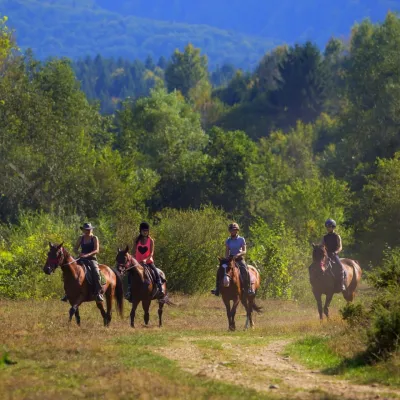 Horse ridingHermannstadt Mountain Horses: horse rides below the FăgărașPorumbacu de Sus45 km from Iezeru MicHorses in the Avrig Valley below the Făgăraș Hermannstadt Mountain Horses (Hermannstadt is the old German name of Sibiu) is a riding stable in the Avrig Valley (Valea...
