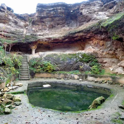
Costești-Cetățuie: Dacian fortress, UNESCO
The gateway to the Dacian capital
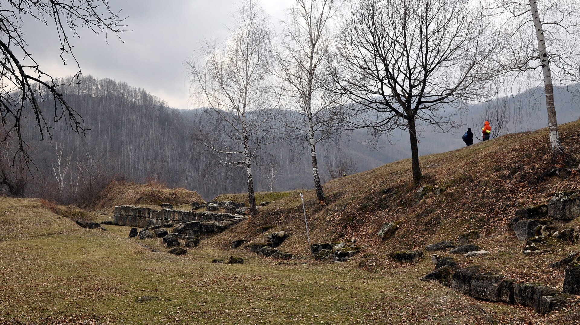
Costești-Cetățuie fortress stands on a steep hill above the valley of the Grădiștea river (Apa Grădiștei) near the village of Costești in Hunedoara County. It is one of the six Dacian fortresses of the Orăștie Mountains inscribed on the UNESCO World Heritage List in 1999 as the «Dacian Fortresses of the Orăștie Mountains». Here the valley narrows and the road climbs towards Sarmizegetusa Regia — exactly the road the fortress guarded.
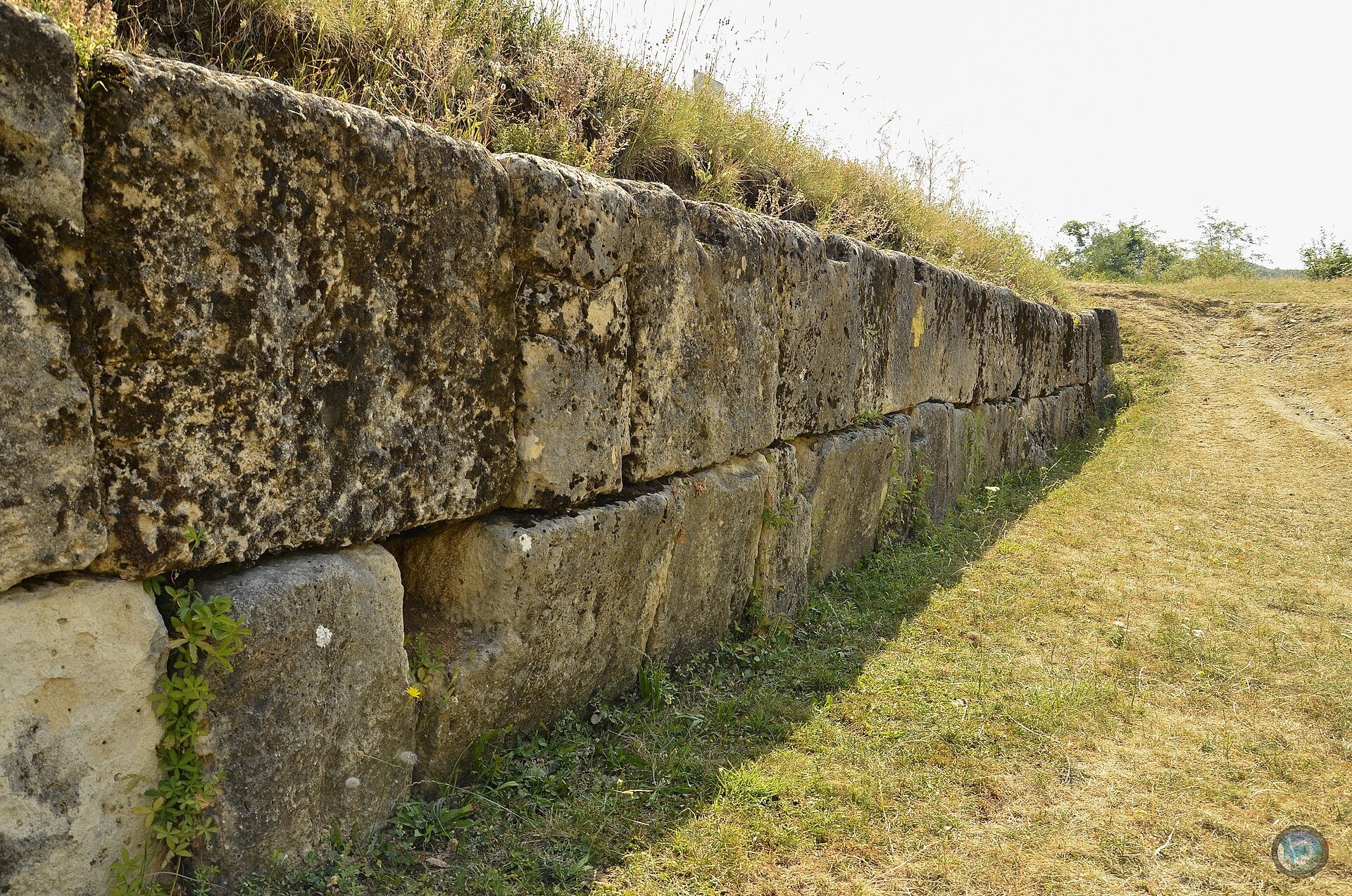
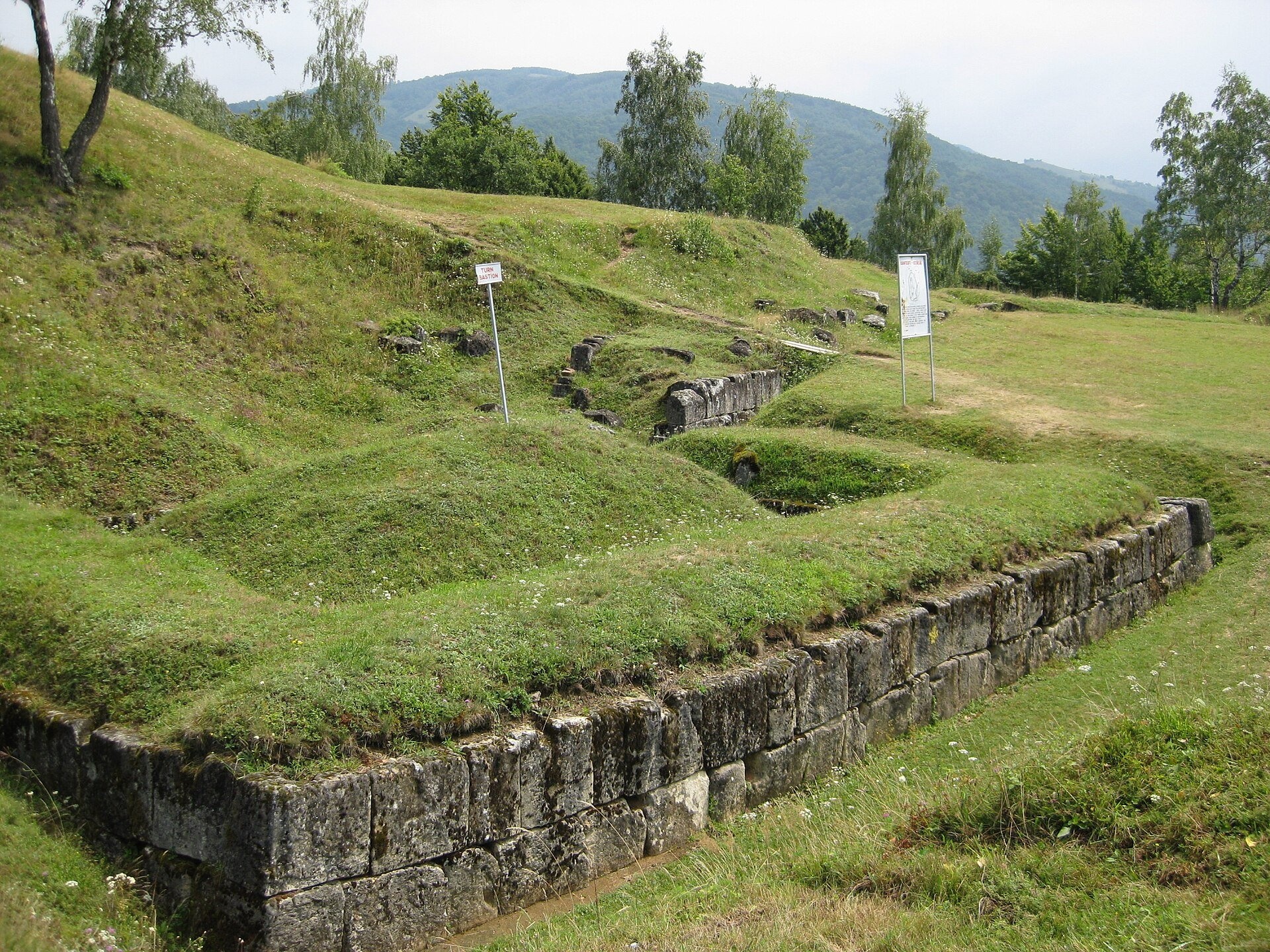
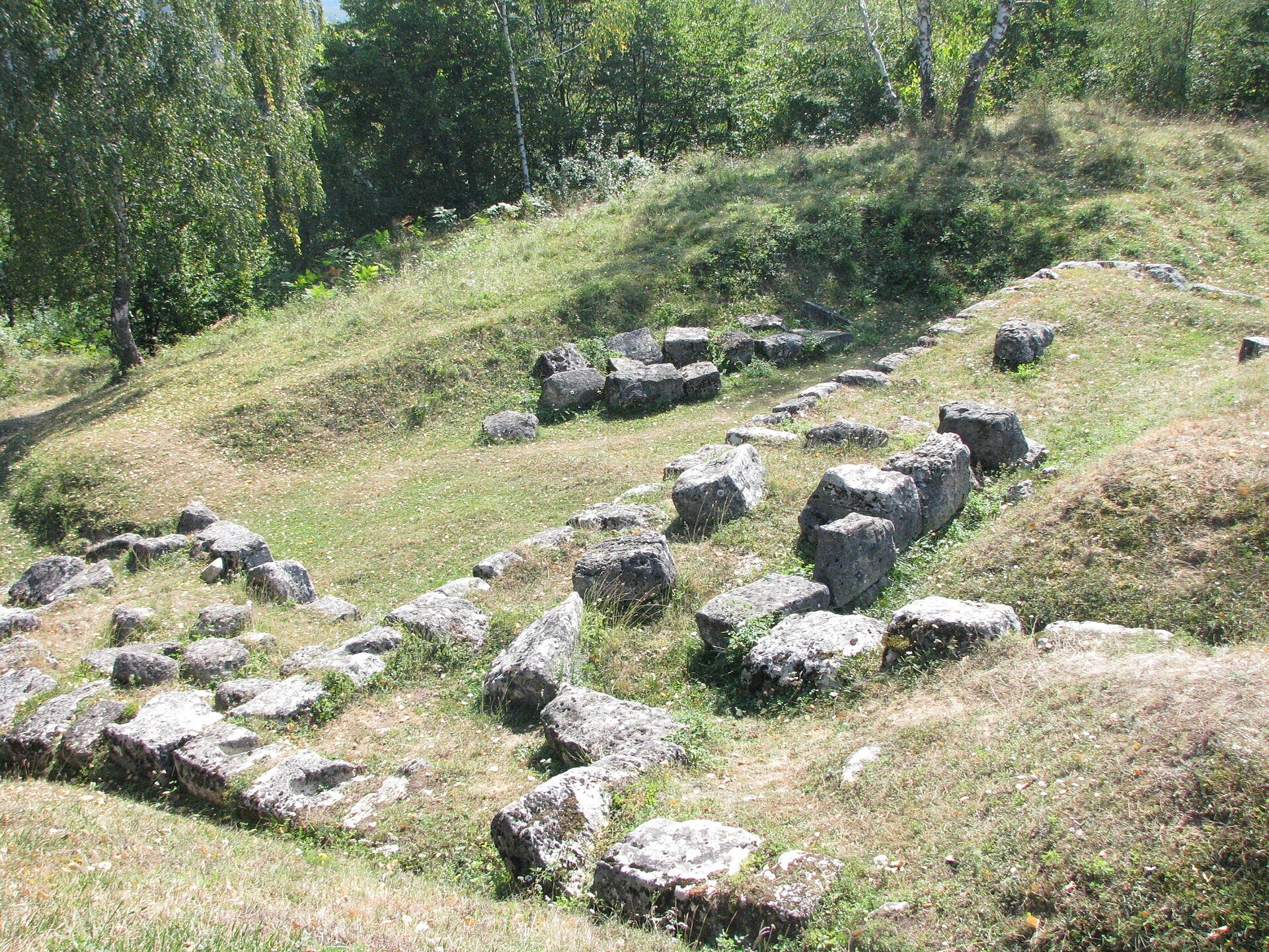
The fortifications were built in the 1st century BC, in the time of the Dacian king Burebista, to protect the heart of the country against the Romans. Historians regard Cetățuie as one of the oldest and most important fortresses of the system: a large civilian settlement lay below its walls, and on the summit stood tower-dwellings that probably served as a residence of Dacian rulers. The defence was multi-layered: an earth rampart with a wooden palisade and a «pincer» entrance, a stone wall about 3 m thick in the murus dacicus technique — two faces of dressed limestone blocks tied with wooden beams set in dovetail slots — bastions and a double palisade around the upper plateau. Before the second Dacian war the gate was blocked with columns taken from the sanctuaries. In 106 the Romans destroyed the fortress, and it was never rebuilt. The first excavations took place as early as the 1920s, and research continues today.
Why go
Cetățuie is the most accessible of the UNESCO fortresses in the Orăștie Mountains: it lies right above the road to Sarmizegetusa, so it is easy to combine with a trip to the Dacian capital. You can clearly see how the Dacians built their walls without mortar, and from the upper plateau there is a view of green hills and the narrow valley along which the Roman legions once marched.
What to see
- The murus dacicus wall of large dressed limestone blocks — one of the best-preserved stretches of such a wall.
- The bastions along the wall, where supplies and weapons were stored below and the defenders lived above.
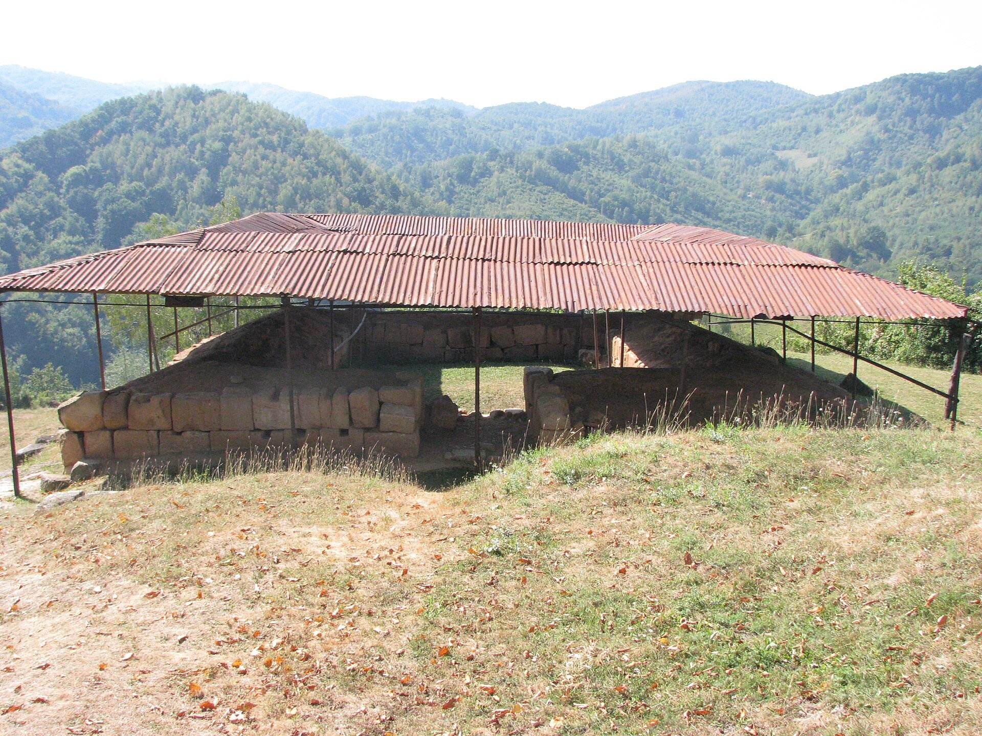
- The tower-dwellings on the upper plateau, one of them under a protective roof.
- The earth rampart with a «pincer» entrance that forced attackers to expose their flank.
- Stone steps and a drain, remains of sanctuaries and the view of the Grădiștea valley.
Practical information
The fortress lies by road DJ705A, about 20 km from the town of Orăștie and 18 km before Sarmizegetusa Regia. A path leads up the hillside from the road to the ruins — good shoes and a little effort are needed; the climb is difficult for people with reduced mobility. From Ukraine: via Solotvyno — Sighetu Marmației, then via Cluj-Napoca and Orăștie, about 360 km in total.
The site is managed by the Museum of Dacian and Roman Civilisation in the town of Deva (MCDR). 2026 rates: adult ticket 10 lei, pupils, students and pensioners 5 lei, photography 10 lei, audio guide 20 lei. No official timetable is published on the website, so check before you go by phoning the Dacian fortresses service (+40 722 360 626). Allow 1–1.5 hours. There are no shops or cafés at the site itself, so bring water.
Nearby
- Costești-Blidaru fortress — the strongest fortified complex of the valley, about 2 km.
- Sarmizegetusa Regia — the Dacian capital with its sacred zone, about 18 km up the valley.
- Corvin Castle in the town of Hunedoara.
- Deva Fortress above the town of Deva.
Official website: mcdr.ro
Photos: Mihai Stancu, CC BY-SA 3.0 ro, Wikimedia Commons; Codrinb, CC BY-SA 3.0 ro, Wikimedia Commons; Levente Nuber, CC BY-SA 4.0, Wikimedia Commons; Oroles (talk), Public domain, Wikimedia Commons.
Getting there from Ukraine
Border crossings
- Porubne – Siret — road and pedestrian, 24/7
- Diakivtsi – Racovăț — road and pedestrian, 24/7 No freight traffic.
- Krasnoilsk – Vicovu de Sus — road and pedestrian, 08:00–20:00 Cars up to 3.5 t and pedestrians only; not 24/7.
- Solotvyno – Sighetu Marmației — road and pedestrian, 24/7 Passenger traffic only: vehicles up to 3.5 t with up to 9 seats, pedestrians.
- Diakove – Halmeu — road, 24/7 No pedestrian crossing.
By car
Rakhiv – Petroșani ≈450 km, ≈6 h 36 min (via Solotvyno – Sighetu Marmației); Ivano-Frankivsk – Petroșani ≈584 km, ≈8 h 55 min (via Solotvyno – Sighetu Marmației); Chernivtsi – Petroșani ≈539 km, ≈9 h 19 min (via Krasnoilsk – Vicovu de Sus). Times without border queues, our road routing (GraphHopper, OSM).
Checked 03.11.2026; border crossing hours and timetables change — check before you travel.
Comments
Travellers’ experience: reports, tips, questions.
No one has written here yet. Be the first — your experience helps others.
Video 2
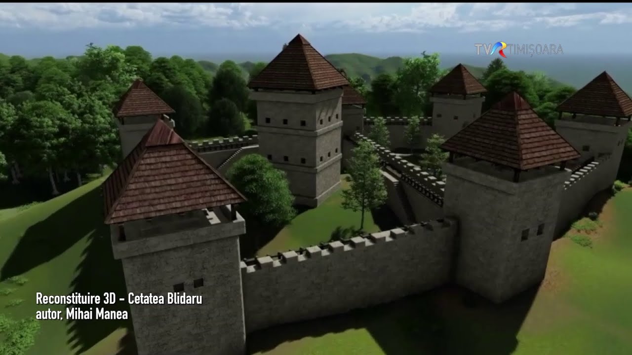 Cetățile Costești-Cetățuie, Blidaru și Piatra Roșie apărau Sarmisegetusa #IstoriiAscunse @TVRTMTVR Timişoara

Location on the map
Trails nearby
All trails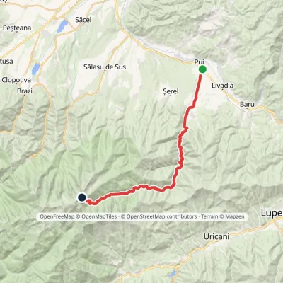 Hard1–2 daysMarkedPui Porțile ÎnchiseElevation profile427–2 263 m31.4 kmascent 1 898 m≈ 11 h walking19 km from Costești-Cetățuie: Dacian fortress, UNESCO
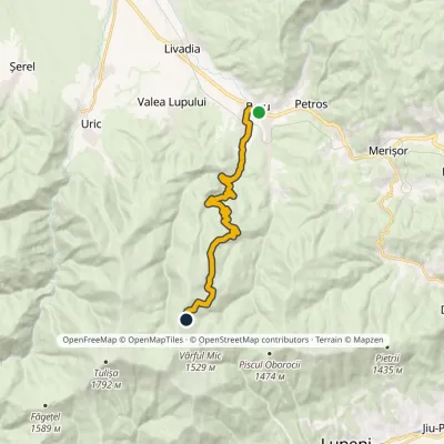 ModerateOne-dayMarkedBaru Tulișa RefugeElevation profile476–1 455 m14.7 kmascent 977 m≈ 5.5 h walking23 km from Costești-Cetățuie: Dacian fortress, UNESCO
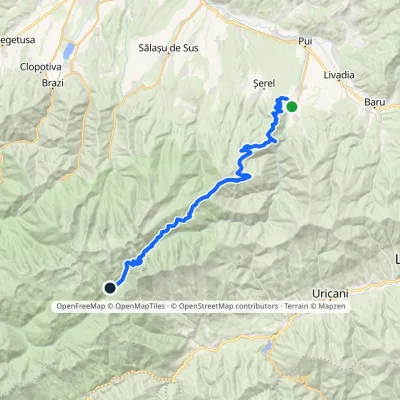 Hard1–2 daysMarkedHobița Poiana PelegiiElevation profile533–2 256 m34 kmascent 2 008 m≈ 12 h walking23 km from Costești-Cetățuie: Dacian fortress, UNESCO
Nearby attractions
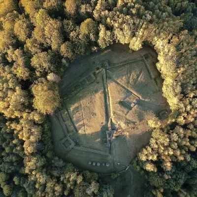 Historic siteCostești-Blidaru: Dacian fortress, UNESCOCostești1.5 km from Costești-Cetățuie: Dacian fortress, UNESCOCostești-Blidaru fortress stands on the summit of Blidaru hill at about 750 m above the left bank of the Grădiștea river (Apa Grădiștei), not far from the village of...
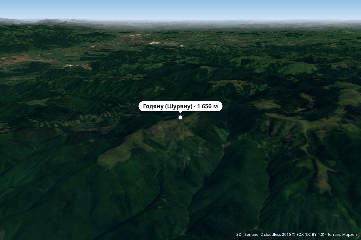 PeakGodeanu (Șureanu Mountains)Grădiștea de Muntealtitude 1 656 m14 km from Costești-Cetățuie: Dacian fortress, UNESCOVârful Godeanu) is a 1,656 m peak in the Orăștie Mountains, the northern part of the Șureanu Mountains (Southern Carpathians), in Hunedoara County.
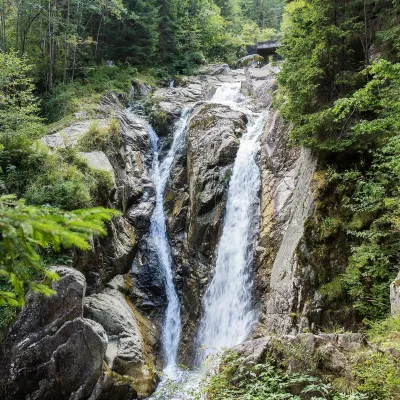 WaterfallLolaia Waterfall (Cascada Lolaia)Nucșoara · Retezat Mountains35 km from Costești-Cetățuie: Dacian fortress, UNESCOheight 15 m1 085 m above sea levelLolaia Waterfall (Cascada Lolaia) lies in the northern part of Retezat National Park, in Hunedoara County, on one of the park's busiest routes — the road from the...