Costești-Blidaru: Dacian fortress, UNESCO
The strongest fortress of the valley
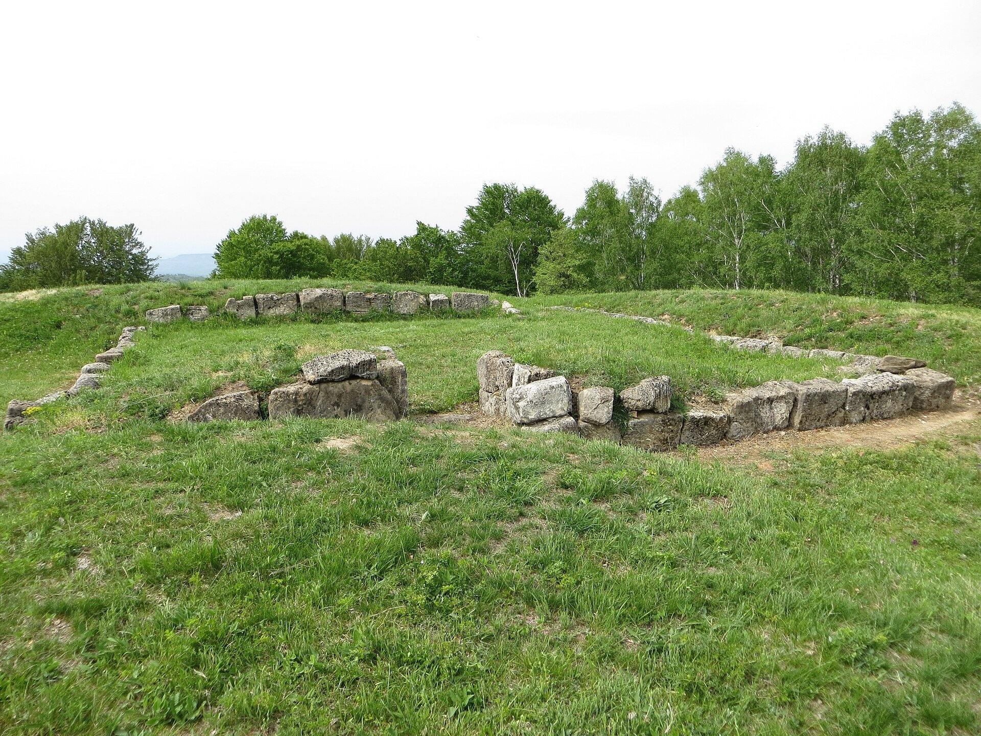
Costești-Blidaru fortress stands on the summit of Blidaru hill at about 750 m above the left bank of the Grădiștea river (Apa Grădiștei), not far from the village of Costești in Hunedoara County. It is one of the six Dacian fortresses of the Orăștie Mountains inscribed on the UNESCO World Heritage List in 1999 as the «Dacian Fortresses of the Orăștie Mountains». Together with neighbouring Cetățuie it closed the valley along which the road led to the Dacian capital, Sarmizegetusa Regia.
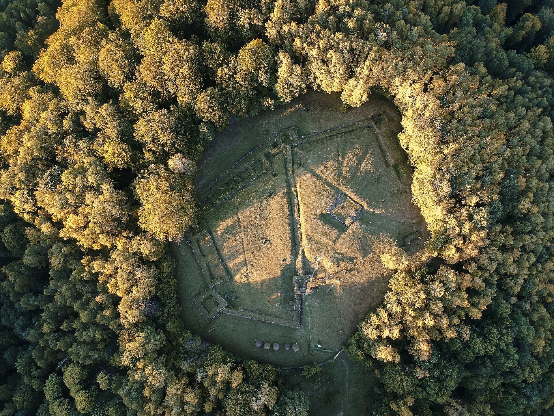
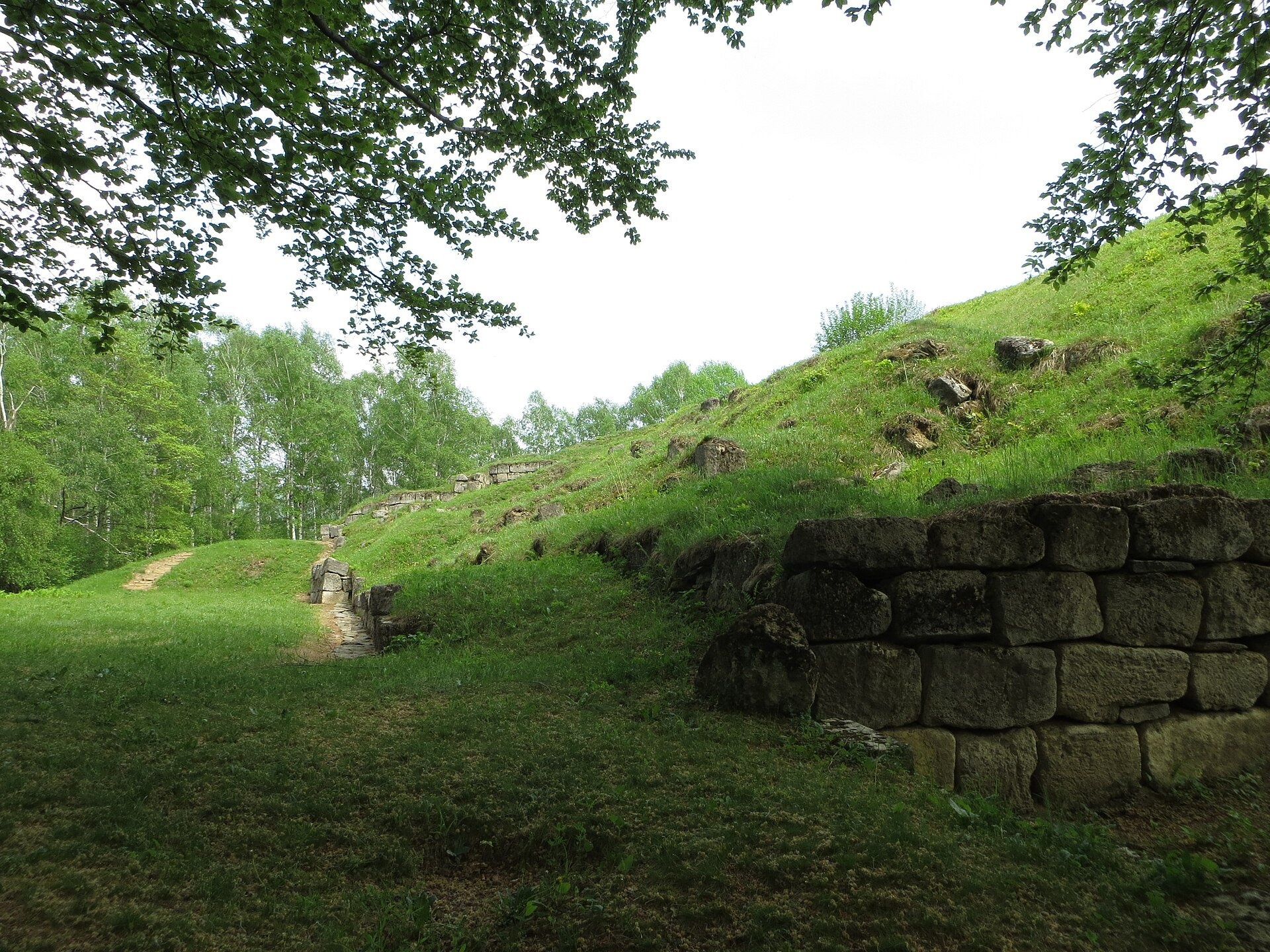
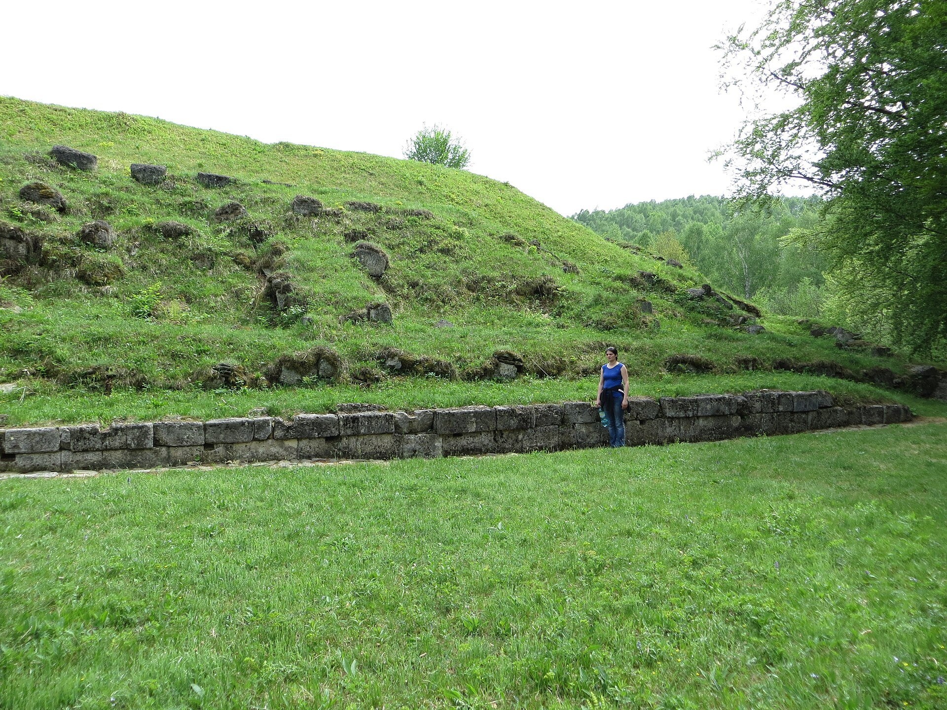
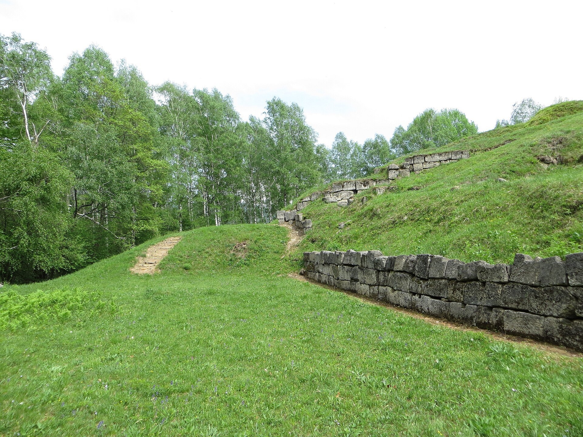
Blidaru is regarded as the strongest fortified complex of the area: on a plateau of almost 6,000 m² stand two joined citadels with six strong towers. The first, on the upper plateau, is trapezoidal with four corner towers; the entrance led through one of the towers and was designed so that an attacker had to turn right and expose his unprotected side. Traces of a tower-dwelling survive inside. The second, pentagonal citadel was added on the west, and both shared the eastern wall. Researchers date the first fortress to the time of King Burebista or slightly later, and the extension to the end of the 1st century AD, on the eve of the wars with Rome. The walls are built in the characteristic Dacian murus dacicus technique — two faces of dressed limestone blocks tied with wooden beams and filled in between. After the Roman conquest of 106 the fortress fell into decline.
Why go
Blidaru is for those who like to combine history with a walk: you cannot drive up to the fortress, and the climb leads through a forest of beech and birch. At the top there is silence, a green clearing, massive stone walls and a view of the rolling hills of the Orăștie Mountains. There are far fewer people here than at Sarmizegetusa, so you can explore the ruins in peace.
What to see
- Two citadels — the trapezoidal upper one and the pentagonal western one, sharing a wall.
- The towers, including the entrance tower with its cleverly designed passage.
- Murus dacicus walls of large dressed blocks, in places several courses high.
- Traces of a tower-dwelling inside the first citadel.
- The view of the Grădiștea valley and neighbouring Cetățuie fortress.
Practical information
The fortress lies about 2 km from Costești-Cetățuie fortress and 20 km from the town of Orăștie. A footpath leads to the ruins from the edge of the village of Costești; it climbs steeply up the slope above the valley and then enters the forest. Expect a climb of about an hour each way; you need good shoes, water and a little mountain experience; the route is not accessible to people with reduced mobility. From Ukraine: via Solotvyno — Sighetu Marmației, then via Cluj-Napoca and Orăștie, about 360 km in total.
The site belongs to the group of Dacian fortresses cared for by the Museum of Dacian and Roman Civilisation in the town of Deva. The museum's 2026 tariff list has no separate ticket for Blidaru and there is no official timetable, so check before you go by phoning the Dacian fortresses service (+40 722 360 626). Allow an hour for the fortress itself and 2.5–3 hours for the whole walk. In winter the path can be snowy and slippery.
Nearby
- Costești-Cetățuie fortress — the closest neighbour, about 2 km.
- Sarmizegetusa Regia — the Dacian capital, about 17 km up the valley.
- Deva Fortress above the town of Deva.
- Corvin Castle in the town of Hunedoara.
Official website: mcdr.ro
Photos: Calin.Jorza, CC BY-SA 4.0, Wikimedia Commons; Strainu, CC BY-SA 3.0 ro, Wikimedia Commons; Korinna, CC BY-SA 4.0, Wikimedia Commons.
Getting there from Ukraine
Border crossings
- Porubne – Siret — road and pedestrian, 24/7
- Diakivtsi – Racovăț — road and pedestrian, 24/7 No freight traffic.
- Krasnoilsk – Vicovu de Sus — road and pedestrian, 08:00–20:00 Cars up to 3.5 t and pedestrians only; not 24/7.
- Solotvyno – Sighetu Marmației — road and pedestrian, 24/7 Passenger traffic only: vehicles up to 3.5 t with up to 9 seats, pedestrians.
- Diakove – Halmeu — road, 24/7 No pedestrian crossing.
By car
Rakhiv – Petroșani ≈450 km, ≈6 h 36 min (via Solotvyno – Sighetu Marmației); Ivano-Frankivsk – Petroșani ≈584 km, ≈8 h 55 min (via Solotvyno – Sighetu Marmației); Chernivtsi – Petroșani ≈539 km, ≈9 h 19 min (via Krasnoilsk – Vicovu de Sus). Times without border queues, our road routing (GraphHopper, OSM).
Checked 03.11.2026; border crossing hours and timetables change — check before you travel.
Comments
Travellers’ experience: reports, tips, questions.
No one has written here yet. Be the first — your experience helps others.
Video 2
 Cetatea dacică Costești - BlidaruDiscover Hunedoara

Location on the map
Trails nearby
All trails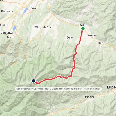 Hard1–2 daysMarkedPui Porțile ÎnchiseElevation profile427–2 263 m31.4 kmascent 1 898 m≈ 11 h walking18 km from Costești-Blidaru: Dacian fortress, UNESCO
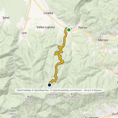 ModerateOne-dayMarkedBaru Tulișa RefugeElevation profile476–1 455 m14.7 kmascent 977 m≈ 5.5 h walking22 km from Costești-Blidaru: Dacian fortress, UNESCO
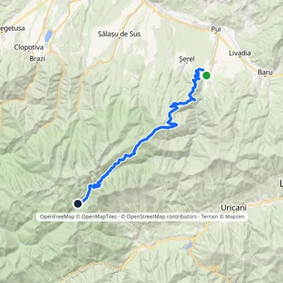 Hard1–2 daysMarkedHobița Poiana PelegiiElevation profile533–2 256 m34 kmascent 2 008 m≈ 12 h walking22 km from Costești-Blidaru: Dacian fortress, UNESCO
Nearby attractions
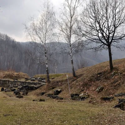 Historic siteCostești-Cetățuie: Dacian fortress, UNESCOCostești1.5 km from Costești-Blidaru: Dacian fortress, UNESCOCostești-Cetățuie fortress stands on a steep hill above the valley of the Grădiștea river (Apa Grădiștei) near the village of Costești in Hunedoara County.
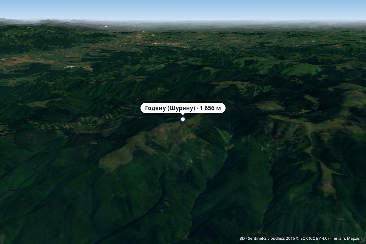 PeakGodeanu (Șureanu Mountains)Grădiștea de Muntealtitude 1 656 m14 km from Costești-Blidaru: Dacian fortress, UNESCOVârful Godeanu) is a 1,656 m peak in the Orăștie Mountains, the northern part of the Șureanu Mountains (Southern Carpathians), in Hunedoara County.
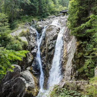 WaterfallLolaia Waterfall (Cascada Lolaia)Nucșoara · Retezat Mountains34 km from Costești-Blidaru: Dacian fortress, UNESCOheight 15 m1 085 m above sea levelLolaia Waterfall (Cascada Lolaia) lies in the northern part of Retezat National Park, in Hunedoara County, on one of the park's busiest routes — the road from the...