Vârfu lui Pătru
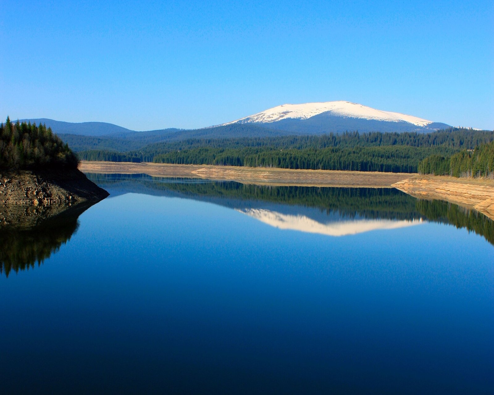
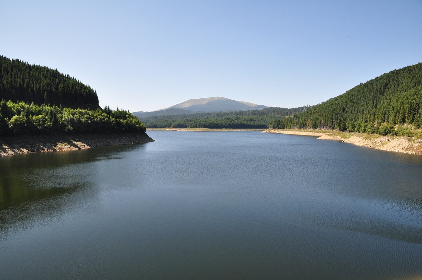
Vârfu lui Pătru (“Pătru's Peak”, English Peter's Peak, Hungarian Péter-csúcs) is the highest summit of the Șureanu Mountains, at 2,130 m, in the Southern Carpathians of Romania. It stands on the border of Alba and Hunedoara counties, about 15 km north-east of the town of Petrila and 15 km south-west of the village of Tău Bistra. At its foot lies the Oașa reservoir, whose dam offers the best-known view of the mountain. The peak's prominence is 555 m.
The Șureanu Mountains, also called the Sebeș Mountains, belong to the Parâng group and cover about 1,585 km². They are bounded by the Mureș valley to the north, the Cindrel Mountains to the east, the Strei valley to the west and the Petroșani and Hațeg depressions to the south. Unlike the neighbouring ranges, they have no slender crests or sharp glacial arêtes, but extensive planation surfaces. Other notable summits are Șureanu (2,059 m) and Vârfu Negru (1,862 m), as well as Aușelu, Comărnicelul, Gropșoara and Pârva.
How to get there / trails
A regional ridge route marked with a blue stripe passes the summit: from the Parâng Mountains via the Groapa Seacă pass and Gura Potecului to the Șureanu hut. According to Czech Wikipedia, waymarked trails reach the summit from several sides – along the ridge or from the Voievodu or Oașa huts. According to Hungarian Wikipedia, the DN67C road – the Transalpina – runs through the valley between the Lotru and Șureanu mountains; the high section of this road is closed every cold season, and in 2026 it reopened on 29 May, so as of November 2026 check the CNAIR announcements.
What you can see from the summit
Czech Wikipedia describes the peak as a place with far-reaching views. The Oașa reservoir lies below the summit, and by position the Cindrel Mountains rise to the east beyond the Sebeș valley; the sources give no more detailed description of the panorama.
Nature and history
The Șureanu Mountains are built of metamorphic and sedimentary rocks and limestone. Romanian Wikipedia calls them “a huge castle of underground and surface waters”: underground rivers hundreds and thousands of metres long flow through the limestone. Right below Vârfu lui Pătru, at about 1,900 m, the Cugir river rises, while the Sebeș flows out of Lake Oașa and separates the Șureanu from the Cindrel Mountains. The natural lakes are of glacial and snow origin – among them Lake Șureanu (the “Bottomless Lake”) at 1,737 m, ringed by dwarf mountain pine.
The summits above 2,000 m carry alpine meadows with curved sedge, least primrose and bellflowers; the subalpine belt has dwarf pine, juniper, rhododendron and bilberry, below come spruce and then beech forests. Bear, wolf, lynx, wild boar, roe deer and marten live in the mountains, and on the alpine meadows horned lark, snow bunting and alpine accentor.
These mountains have been inhabited since ancient times. Traces of Palaeolithic camps were found in the Bordu Mare and Ciclovina caves, and on the western slopes of the massif stand the Dacian fortresses listed as UNESCO World Heritage, including Sarmizegetusa Regia. Romanian Wikipedia also mentions Roman military camps, among them on the Aușel – Vârfu lui Pătru ridge. Sheep-farming with transhumance has old traditions here, and sheepfolds are still found on the ridges above 1,500 m.
Safety, season and rules
In winter the mean temperature above 2,000 m reaches −7 °C and in summer only about 8 °C, so even in the warm season take warm and windproof clothing. In fog the broad pastures easily lead you astray – follow the waymarks. Salvamont advises checking the forecast for the next 24 hours, not hiking alone, telling your family your route and leaving the ridge at once if a thunderstorm comes.
Bears are common here. Stay on the marked paths, walk in a group and talk, do not hike in the evening or at night, do not keep food in your tent and hang it away from your camp. Sheepdogs near sheepfolds may rush at hikers – do not run, shield yourself with your rucksack. In an emergency call the national dispatch 0SALVAMONT – 0725 826 668 or 112; advice on animal encounters is on the Salvamont România website.
Photos: Cristi Faur, Public domain; Saturnian, CC BY-SA 3.0 — Wikimedia Commons.
Getting there from Ukraine
Border crossings
- Porubne – Siret — road and pedestrian, 24/7
- Diakivtsi – Racovăț — road and pedestrian, 24/7 No freight traffic.
- Krasnoilsk – Vicovu de Sus — road and pedestrian, 08:00–20:00 Cars up to 3.5 t and pedestrians only; not 24/7.
- Solotvyno – Sighetu Marmației — road and pedestrian, 24/7 Passenger traffic only: vehicles up to 3.5 t with up to 9 seats, pedestrians.
- Diakove – Halmeu — road, 24/7 No pedestrian crossing.
By car
Rakhiv – Petroșani ≈450 km, ≈6 h 36 min (via Solotvyno – Sighetu Marmației); Ivano-Frankivsk – Petroșani ≈584 km, ≈8 h 55 min (via Solotvyno – Sighetu Marmației); Chernivtsi – Petroșani ≈539 km, ≈9 h 19 min (via Krasnoilsk – Vicovu de Sus). Times without border queues, our road routing (GraphHopper, OSM).
Checked 03.11.2026; border crossing hours and timetables change — check before you travel.
Comments
Travellers’ experience: reports, tips, questions.
No one has reported on this trail yet. Been here lately? Tell others what it is like now.
Location on the map
Water and shelter nearby
- Spring below Aușel (south-east slope)840 m · Not verified · 1 935 m
- Spring below Aușel (north-west slope)1.8 km · Not verified · 1 906 m
Nearby attractions
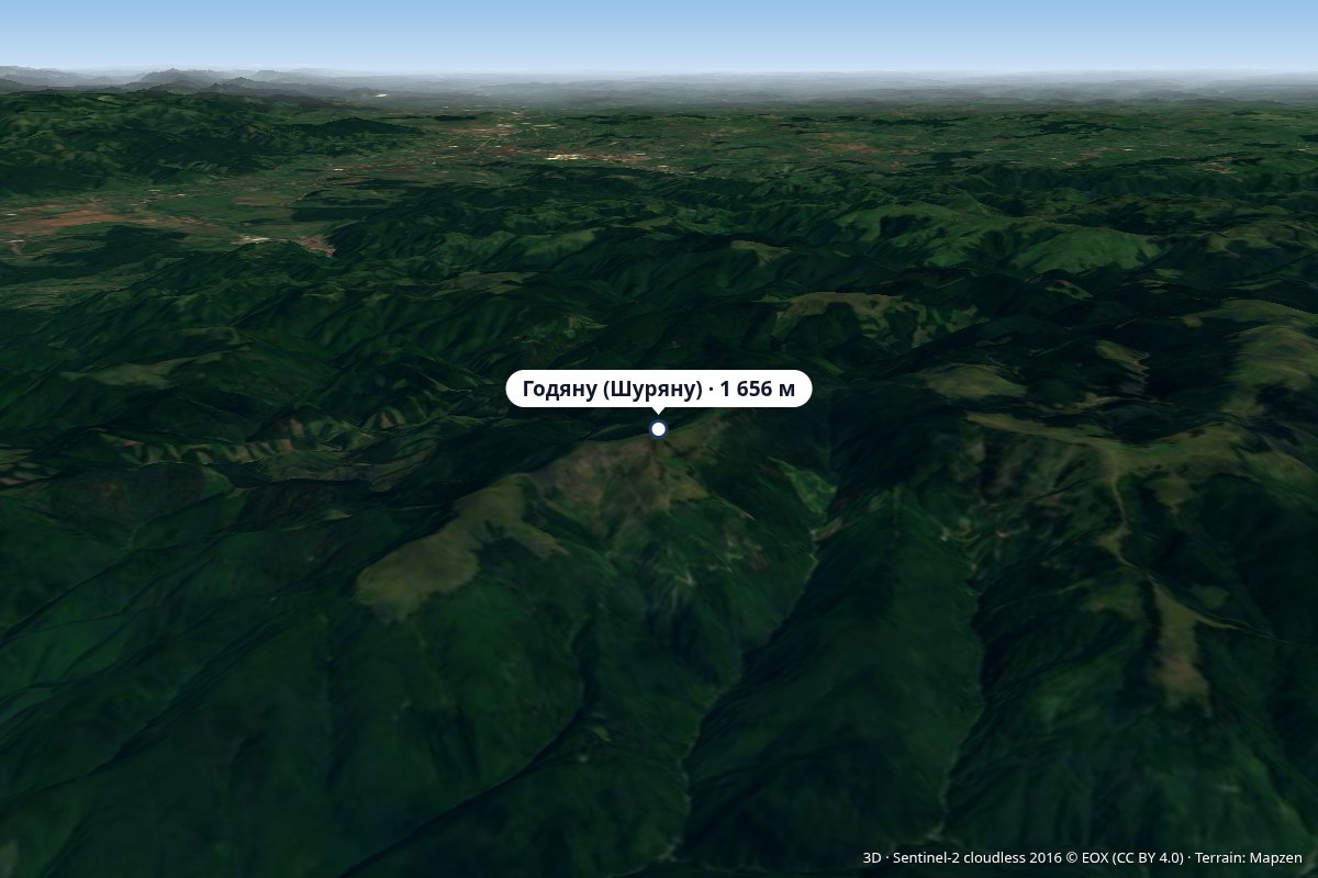 PeakGodeanu (Șureanu Mountains)Grădiștea de Muntealtitude 1 656 m19 km from Vârfu lui PătruVârful Godeanu) is a 1,656 m peak in the Orăștie Mountains, the northern part of the Șureanu Mountains (Southern Carpathians), in Hunedoara County.
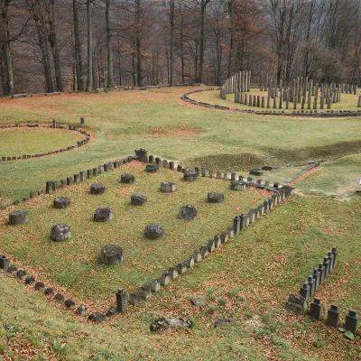 Historic siteSarmizegetusa Regia: Dacian capital, UNESCOGrădiștea de Munte19 km from Vârfu lui PătruThe Dacian capital in the Orăștie Mountains Sarmizegetusa Regia is the ruin of the capital of the Dacian kingdom on Grădiștea Hill (Dealul Grădiștii) at about 1,200 m...
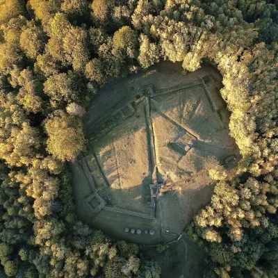 Historic siteCostești-Blidaru: Dacian fortress, UNESCOCostești32 km from Vârfu lui PătruCostești-Blidaru fortress stands on the summit of Blidaru hill at about 750 m above the left bank of the Grădiștea river (Apa Grădiștei), not far from the village of...
