Poiana Vărășoaia
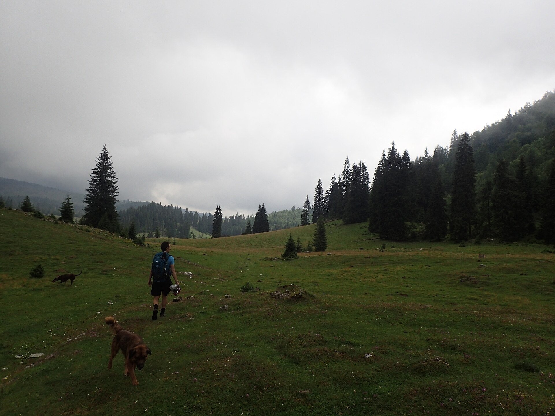
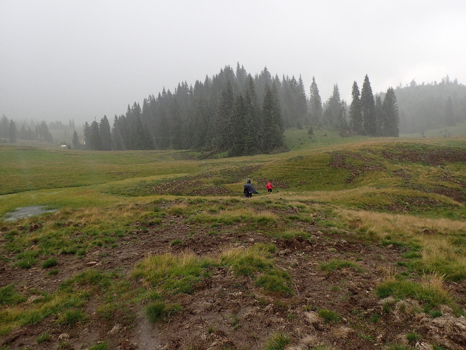
Poiana Vărășoaia is a mountain meadow in the north of the Padiș plateau in the Bihor Mountains (Apuseni), at about 1,300 m. Romanian Wikipedia lists it within the part of Padiș called "Someșul Cald Gorge – Poiana Vărășoaia – Poiana Cuciulata". From the central Șesul Padiș plain a road leads here to the Vărășoaia hut; two long-distance routes — the red and the blue stripe — follow it too.
Geologically this is a closed karst depression. The "Z" Caving Club of Oradea describes the Vărășoaia depression as the northern end of the closed Padiș – Cetățile Ponorului catchment: streams running off the western slopes of Mount Măgura Vânătă disappear here into sinkholes at 1,150–1,250 m, and the water resurfaces 2–2.5 km away as the crow flies. On the eastern slope of Mount Vărășoaia the V5 cave was discovered in 1986 — one of the deepest in Romania (653 m of vertical range and over 19 km of passages according to the club); it is accessible to cavers only. Both photographs of the meadow were taken in summer rain, with mist hanging over the grass.
What to see and do
- The Cetățile Rădesei loop — red dot, 5.6 km, 1 h 45 min – 2 h, difficult. Beyond the hut the path climbs through forest to a clearing above the Rădeasa valley and descends with a chain to the cave portal, more than 15 m high. The cave is passable only in summer at low water; the route is not recommended in winter.
- The Măgura Vânătă ridge (1,641 m) — yellow triangle from Padiș to the Vărășoaia saddle (7.7 km, about 3 h); returning past the hut and across Șesul Padiș makes a loop of about 5 h.
- The Someșul Cald Gorge — a loop marked with a red dot (5.1 km), temporarily closed because of windfall according to the Munții Noștri portal; check the state of the route before you set out.
How to get there
The plateau is reached from the village of Pietroasa via Boga; a road leads from Șesul Padiș to the Vărășoaia hut (details on the Padiș plateau page).
Season, rules and safety
The meadow lies in Apuseni Natural Park; wild camping is banned in the park. The best time is June to September. Routes with chains and cables are very slippery after rain.
Bears live in the Romanian Carpathians: stay on the marked paths, never leave food by a tent or a car, and near flocks do not run from the sheepdogs — stop and walk calmly around the herd. Salvamont mountain rescue: national dispatch 0SALVAMONT — 0725 826 668 or 112; advice for hikers is on salvamontromania.ro.
Official website: parcapuseni.ro
Photos: Raluca Paută, CC BY-SA 4.0, Wikimedia Commons.
Getting there from Ukraine
Border crossings
- Porubne – Siret — road and pedestrian, 24/7
- Diakivtsi – Racovăț — road and pedestrian, 24/7 No freight traffic.
- Krasnoilsk – Vicovu de Sus — road and pedestrian, 08:00–20:00 Cars up to 3.5 t and pedestrians only; not 24/7.
- Solotvyno – Sighetu Marmației — road and pedestrian, 24/7 Passenger traffic only: vehicles up to 3.5 t with up to 9 seats, pedestrians.
- Diakove – Halmeu — road, 24/7 No pedestrian crossing.
By car
Rakhiv – Cluj-Napoca ≈219 km, ≈3 h 44 min (via Solotvyno – Sighetu Marmației); Ivano-Frankivsk – Cluj-Napoca ≈353 km, ≈6 h 04 min (via Solotvyno – Sighetu Marmației); Chernivtsi – Cluj-Napoca ≈343 km, ≈6 h 28 min (via Krasnoilsk – Vicovu de Sus). Times without border queues, our road routing (GraphHopper, OSM).
Checked 03.11.2026; border crossing hours and timetables change — check before you travel.
Location on the map
Water and shelter nearby
- Spring below Vărășoaia (north slope)380 m · Not verified · 1 347 m
- Drinking water below Vărășoaia530 m · Not verified · 1 333 m
- Spring below Vărășoaia (south-east slope)620 m · Not verified · 1 322 m
- Spring below Vărășoaia (north-west slope)1.1 km · Not verified · 1 324 m
- Spring below Măgura Mică (south-east slope), 1 533 m1.3 km · Not verified · 1 533 m
- Spring below Boghii1.7 km · Not verified · 1 268 m
- Spring below Piatra Arsă (east slope)1.8 km · Not verified · 1 413 m
- Spring below Cuciulata (east slope), 1 213 m2.1 km · Not verified · 1 213 m
- Spring «Izbucul Boga»2.5 km · Not verified · 705 m
- Spring below Piatra Arsă (north slope)2.8 km · Not verified · 1 605 m
- Spring below 14202.8 km · Has water · 1 163 m
- Spring below 13622.9 km · Not verified · 1 242 m
Comments
Trails nearby
All trails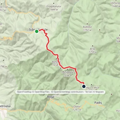 ModerateOne-dayMarkedStâna de Vale Vărășoaia SaddleElevation profile1 088–1 654 m14.1 kmascent 738 m≈ 5 h walkingunder 1 km from Poiana Vărășoaia
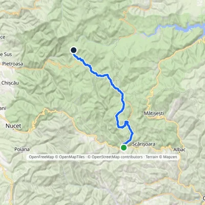 HardMulti-dayMarkedGârda de Sus Vărășoaia SaddleElevation profile727–1 436 m31.8 kmascent 1 186 m≈ 10.5 h walkingunder 1 km from Poiana Vărășoaia
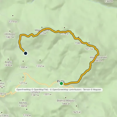 EasyOne-dayMarkedPadiș Vărășoaia SaddleElevation profile1 259–1 641 m8.9 kmascent 371 m≈ 3 h walkingunder 1 km from Poiana Vărășoaia
Nearby attractions
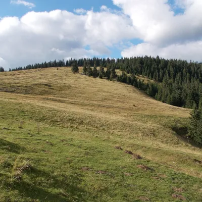 Mountain meadowPadiș PlateauPadișaltitude 1 235 m2.5 km from Poiana VărășoaiaPadiș (Hungarian: Pádis) is a karst plateau in the Bihor Mountains, part of Romania's Apuseni (Western Romanian Carpathians), in the south-east of Bihor County.
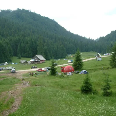 Mountain meadowPoiana GlăvoiBogaaltitude 1 086 m5 km from Poiana VărășoaiaPoiana Glăvoi (Hungarian: Glavoj-rét) is a broad grassy meadow on the Padiș plateau in the Bihor Mountains (Apuseni), at about 1,090 m.
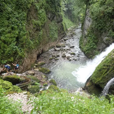 WaterfallEvantai Waterfall (Cascada Evantai)Boga8.1 km from Poiana VărășoaiaEvantai Waterfall (Cascada Evantai, «the Fan») lies in the Galbena Gorge (Cheile Galbenei) in the Bihor Mountains, inside Apuseni Natural Park in Bihor County.
