Custura
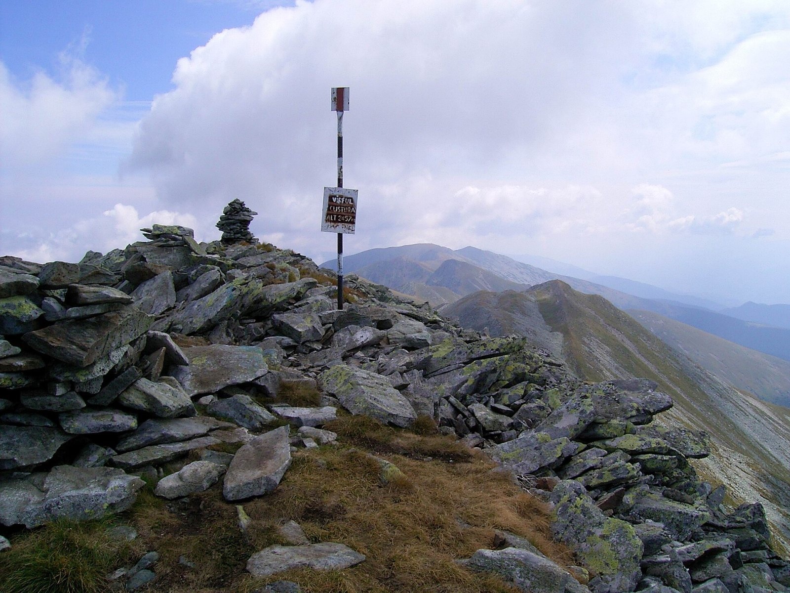
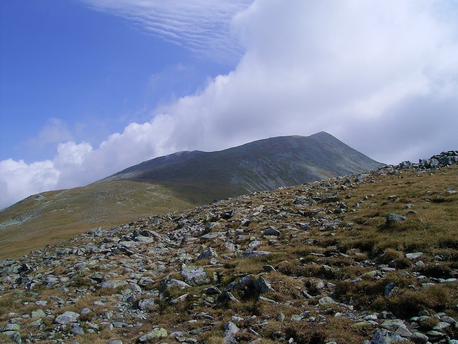
Custura (Romanian Vârful Custura) is a 2,457 m summit in the Retezat Mountains of the Southern Carpathians – according to Romanian Wikipedia, the fifth-highest in the massif. It rises in the southern Retezat, on the ridge between the Plaiu Mic saddle to the south and the Custura saddle to the west, beyond which stand Păpușa Mică (2,370 m) and Păpușa. It lies in Hunedoara County; the nearest villages, Câmpu lui Neag and Râușor, are each about 10 km away as the crow flies.
The summit lies within Retezat National Park, Romania's first national park, founded in 1935. According to English Wikipedia, the park has more than sixty peaks above 2,300 m and about eighty glacial lakes, and Custura is one of the summits where the main ridge meets paths into several cirques.
How to get there / routes
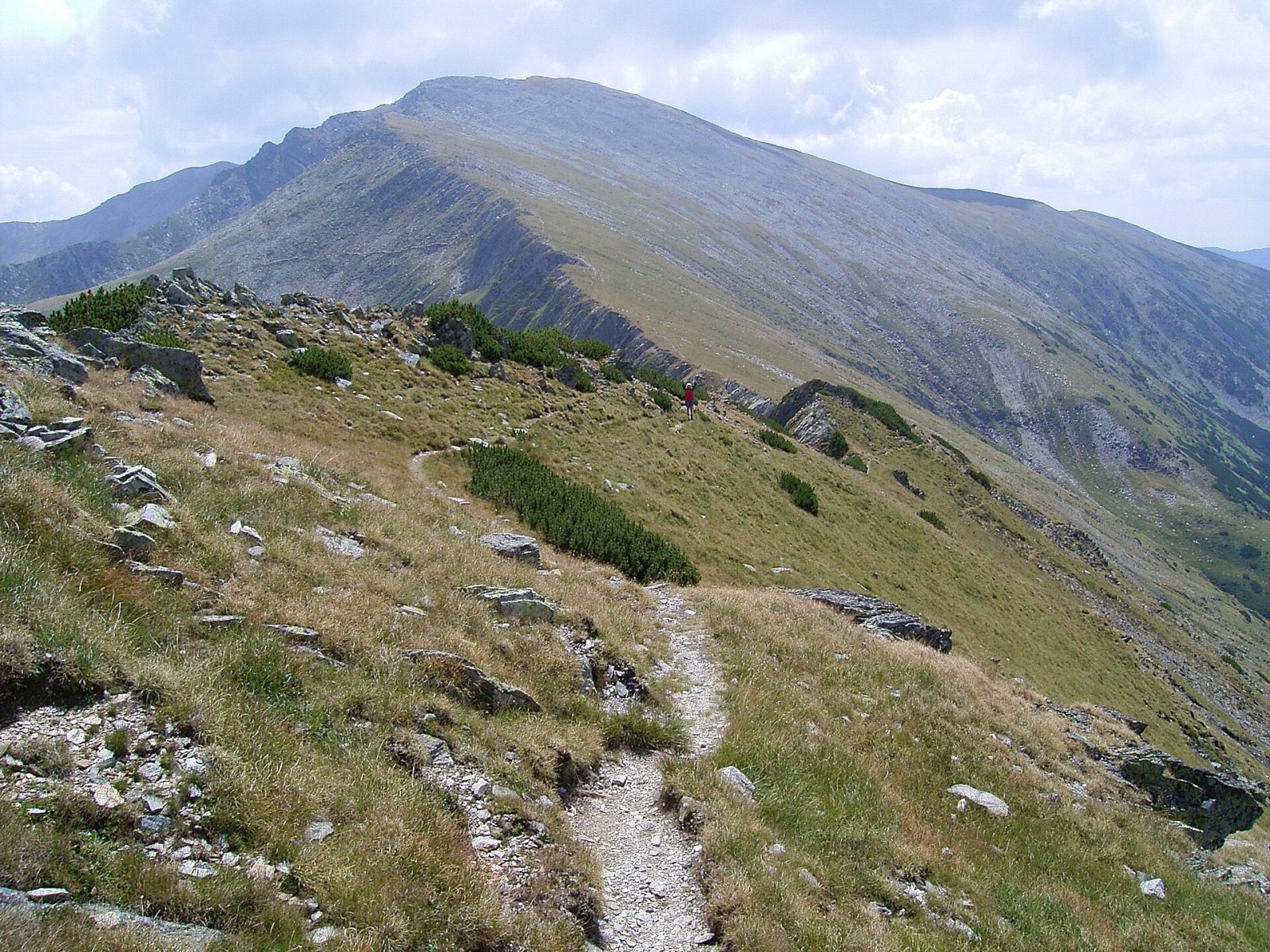
Romanian Wikipedia lists three approaches: from the south via the Plaiu Mic saddle, from the west from Păpușa via the Custura saddle, and from the north, from the Stâna de Râu sheepfold, also via the Custura saddle. The park administration suggests loop no. 11: Gura Bucurii – Plaiu Mic saddle – Custura – Custura saddle – Pelegii valley – Gura Bucurii. A blue stripe with a red cross leads to the Plaiu Mic saddle, and the ridge to the top follows a red stripe (in OSM the regional main-ridge route from Vulcan via Pilugu Mare and Piatra Iorgovanului to the Paltina saddle). The climb goes through dwarf mountain pine and then over granite slabs. The descent along the northern ridge follows a yellow cross past Fereastra Custurii, where a path branches off to Stâna de Râu, and a blue dot leads down the Pelegii valley to the Pelegii meadow.
The park estimates the loop at 6–7 hours with about 1,000 m of ascent, medium difficulty. There is no water on the ridges, only at the start and end, in the Pelegii valley. Gura Bucurii is reached by a forest road of about 20 km from the Gura Apelor reservoir; the park recommends a high-clearance vehicle.
What you see from the summit
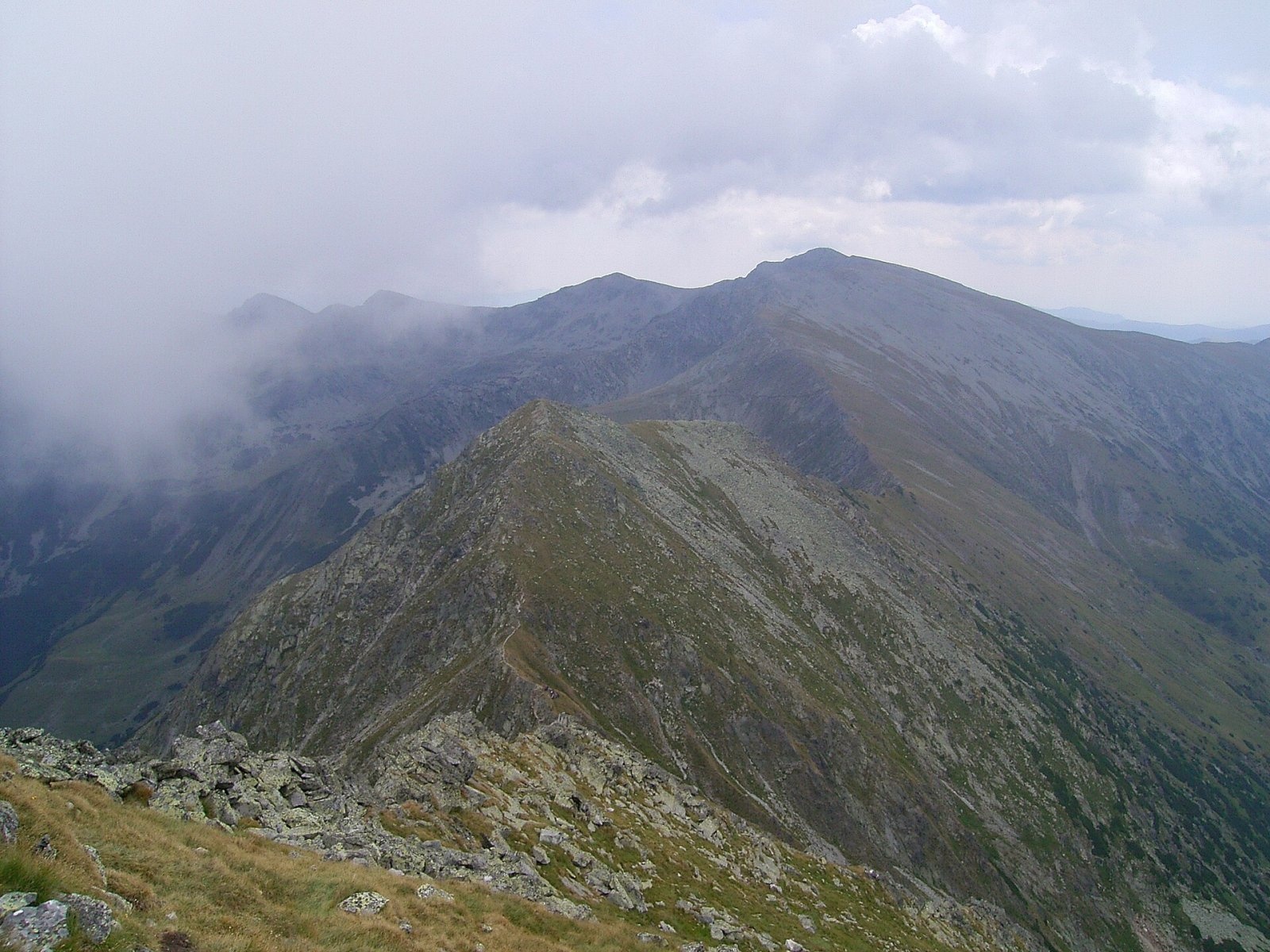
According to Romanian Wikipedia, Custura offers a particularly fine view over the southern Retezat. A photo on Wikimedia Commons taken near the summit shows the ridge running from Custura over Păpușa Mică to Păpușa (2,508 m). The sources give no more detailed description of the panorama.
Nature and history
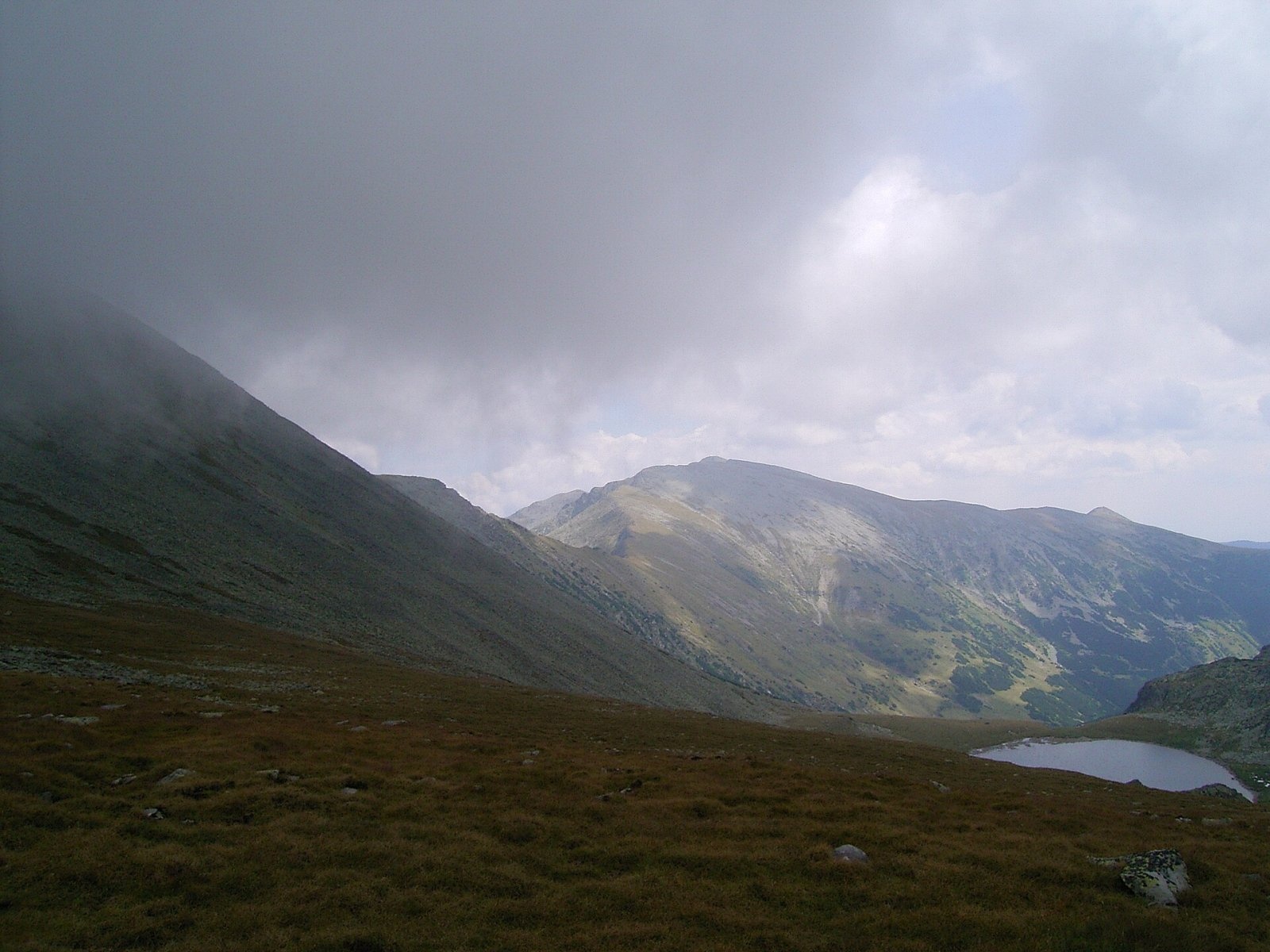
Two tarns, the Tăurile Custurii, lie in the glacial cirque below the summit. According to Romanian Wikipedia, the larger one is at 2,226 m, covers 2.78 ha and is 9 m deep; the smaller is at 2,210 m, 0.77 ha and 7.3 m deep. The first drains into the second, whose stream then forms the Ciumfu Mare waterfall and becomes the source of the Bărbat river.
The Retezat is famous for its granite ridges and dozens of glacial lakes. English Wikipedia stresses the exceptional plant diversity – about 1,190 species – and among the park's animals lists the bear, wolf, lynx and chamois.
Safety, season and rules
The park marks route no. 11 as forbidden in winter: the Gura Apelor – Gura Bucurii road is usually open from about mid-May to mid-November, weather permitting. In summer watch the forecast and leave the ridge at the first sign of a thunderstorm – there is no shelter on the open granite. Salvamont advises not to hike alone and to tell someone your route.
Entry to the park is subject to a fee: according to the administration, a ticket costs 10 lei and is valid for 7 days; it is sold on bilete.retezat.ro, at the main entry points and at the Nucșoara visitor centre. People under 18 are exempt. Walking is allowed only on marked trails, tents only in designated places, open fires are banned (a stove is allowed at campsites), dogs must be on a lead and swimming in the lakes is prohibited. The rules are on the park website.
Bears are common in the Retezat. Stay on the marked paths, talk as you walk so that an animal hears you in advance, do not hike in the evening or at night and do not keep food in your tent. Sheepdogs near sheepfolds may rush at people – do not run, stop and shield yourself with your rucksack. In an emergency call the national dispatch 0SALVAMONT – 0725 826 668 or 112; advice on animal encounters is on the Salvamont România website.
Photos: Hardsr, CC BY-SA 4.0; Harabagiu Dan, Public domain; Harabagiu Dan, Public domain; Harabagiu Dan, Public domain; Harabagiu Dan, Public domain; AlexCiopata, CC BY 3.0 — Wikimedia Commons.
Getting there from Ukraine
Border crossings
- Porubne – Siret — road and pedestrian, 24/7
- Diakivtsi – Racovăț — road and pedestrian, 24/7 No freight traffic.
- Krasnoilsk – Vicovu de Sus — road and pedestrian, 08:00–20:00 Cars up to 3.5 t and pedestrians only; not 24/7.
- Solotvyno – Sighetu Marmației — road and pedestrian, 24/7 Passenger traffic only: vehicles up to 3.5 t with up to 9 seats, pedestrians.
- Diakove – Halmeu — road, 24/7 No pedestrian crossing.
By car
Rakhiv – Petroșani ≈450 km, ≈6 h 36 min (via Solotvyno – Sighetu Marmației); Ivano-Frankivsk – Petroșani ≈584 km, ≈8 h 55 min (via Solotvyno – Sighetu Marmației); Chernivtsi – Petroșani ≈539 km, ≈9 h 19 min (via Krasnoilsk – Vicovu de Sus). Times without border queues, our road routing (GraphHopper, OSM).
Checked 03.11.2026; border crossing hours and timetables change — check before you travel.
Location on the map
Water and shelter nearby
- Spring below Păpușa Mică (south slope)1.6 km · Not verified · 2 062 m
- Spring below Păpușa Mică (east slope)1.6 km · Not verified · 1 870 m
- Spring below Țapului2 km · Not verified · 1 736 m
- Spring below Păpușa Mică (south-west slope)2.3 km · Not verified · 1 946 m
- Spring below Păpușa Mică (west slope)2.3 km · Not verified · 2 069 m
- Alpin Stâna de Râu Hut2.4 km · Not verified · 1 628 m
- Spring below Vârful Păpușa (south-west slope)2.9 km · Not verified · 2 151 m
Comments
Nearby attractions
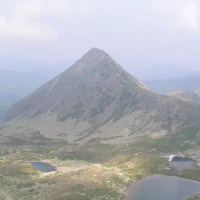 PeakPăpușa (Retezat)Râușoraltitude 2 508 m2.9 km from CusturaPăpușa (Romanian: Vârful Păpușa, Hungarian: Papusa-csúcs) is a summit on the main ridge of the Retezat Mountains in the Southern Carpathians, in Hunedoara County.
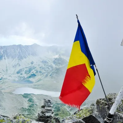 PeakPeleagaRâușoraltitude 2 509 m3.4 km from CusturaPeleaga (Romanian: Vârful Peleaga, Hungarian: Pelága-csúcs) is the highest summit of the Retezat Mountains in the Southern Carpathians, 2,509 m above sea level.
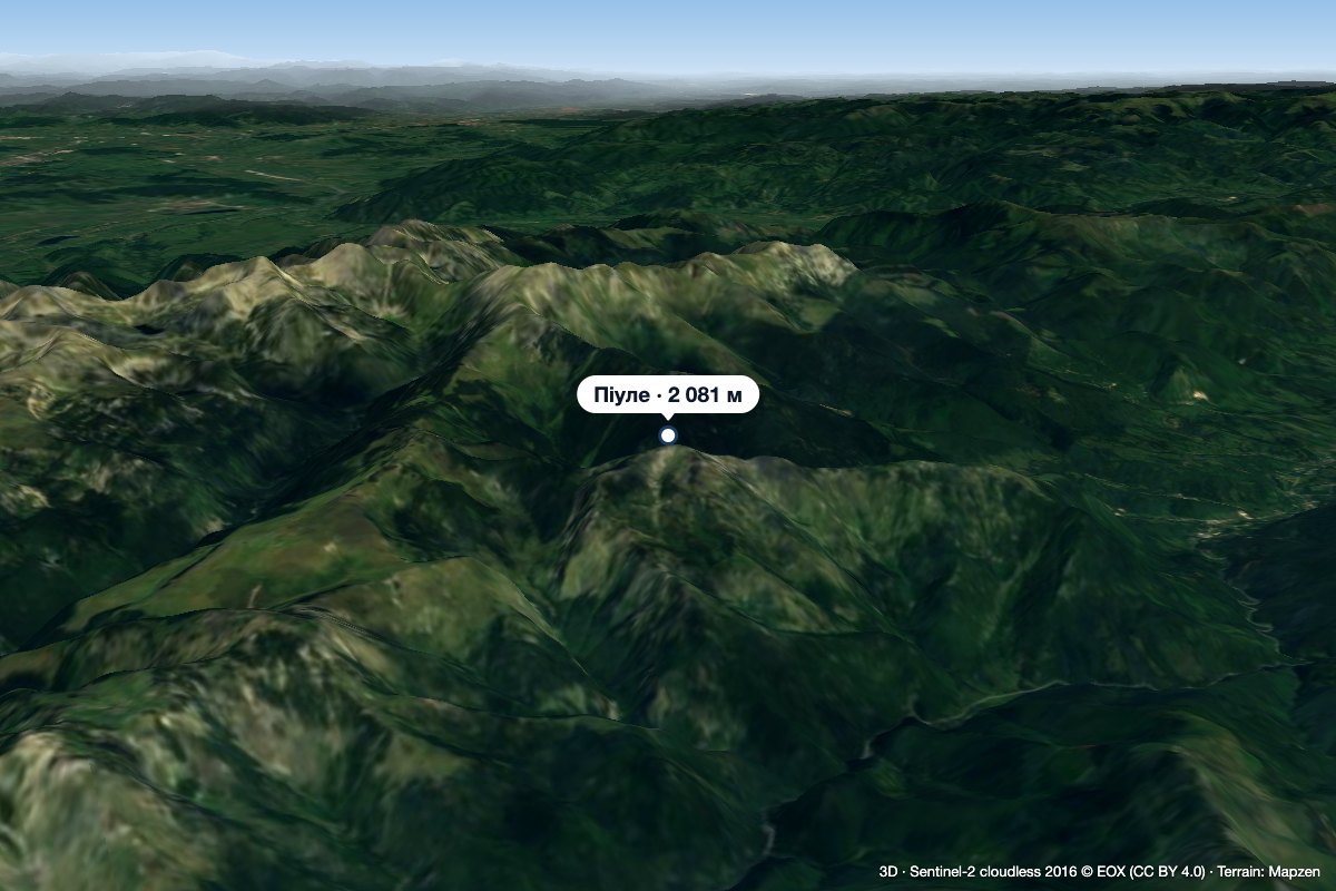 PeakPiuleCâmpu lui Neagaltitude 2 081 m5.5 km from CusturaPiule (Romanian Vârful Piule) is the highest summit of the Piule-Iorgovanu Mountains, at 2,081 m. In hiking literature the massif is usually called Retezatul Mic, the ...
