Bucșoiu
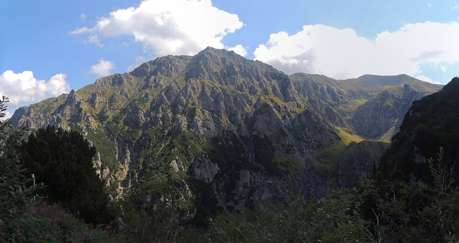
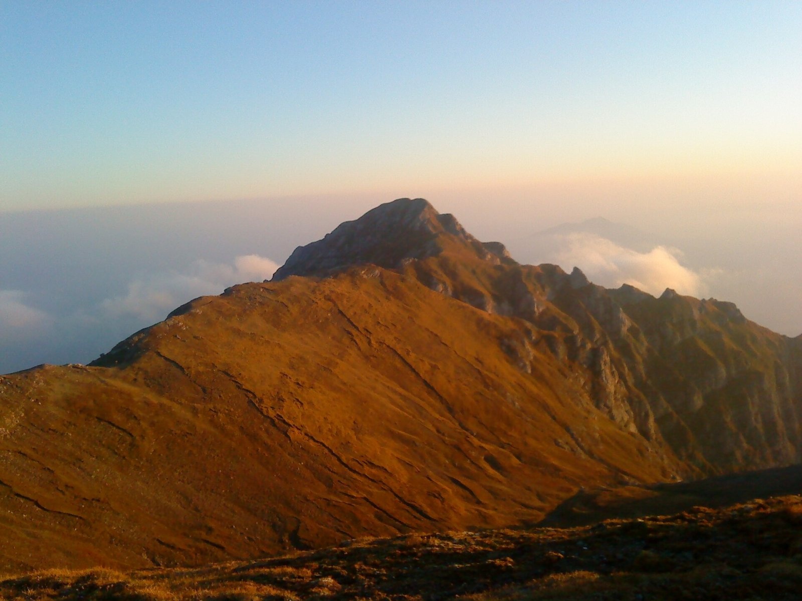
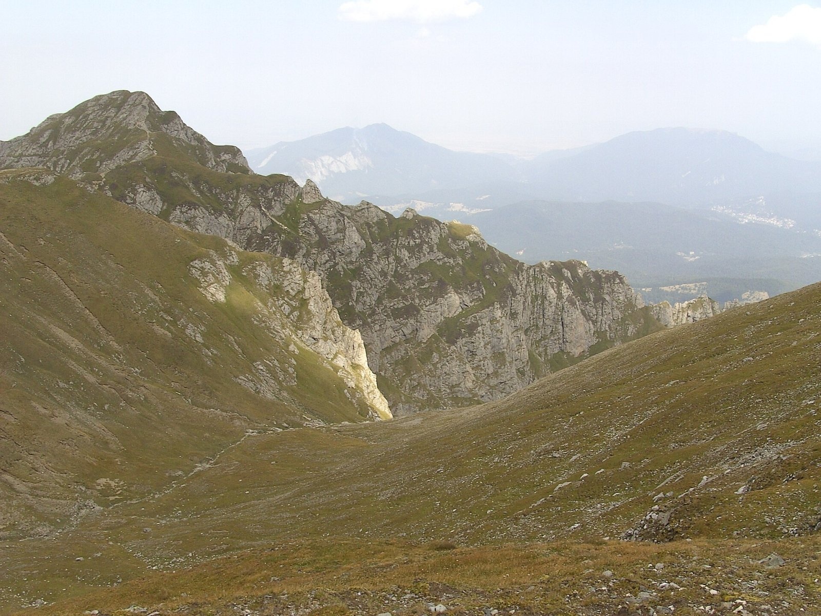
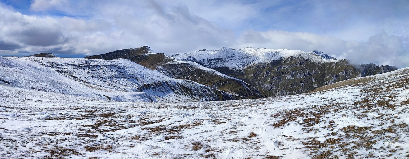
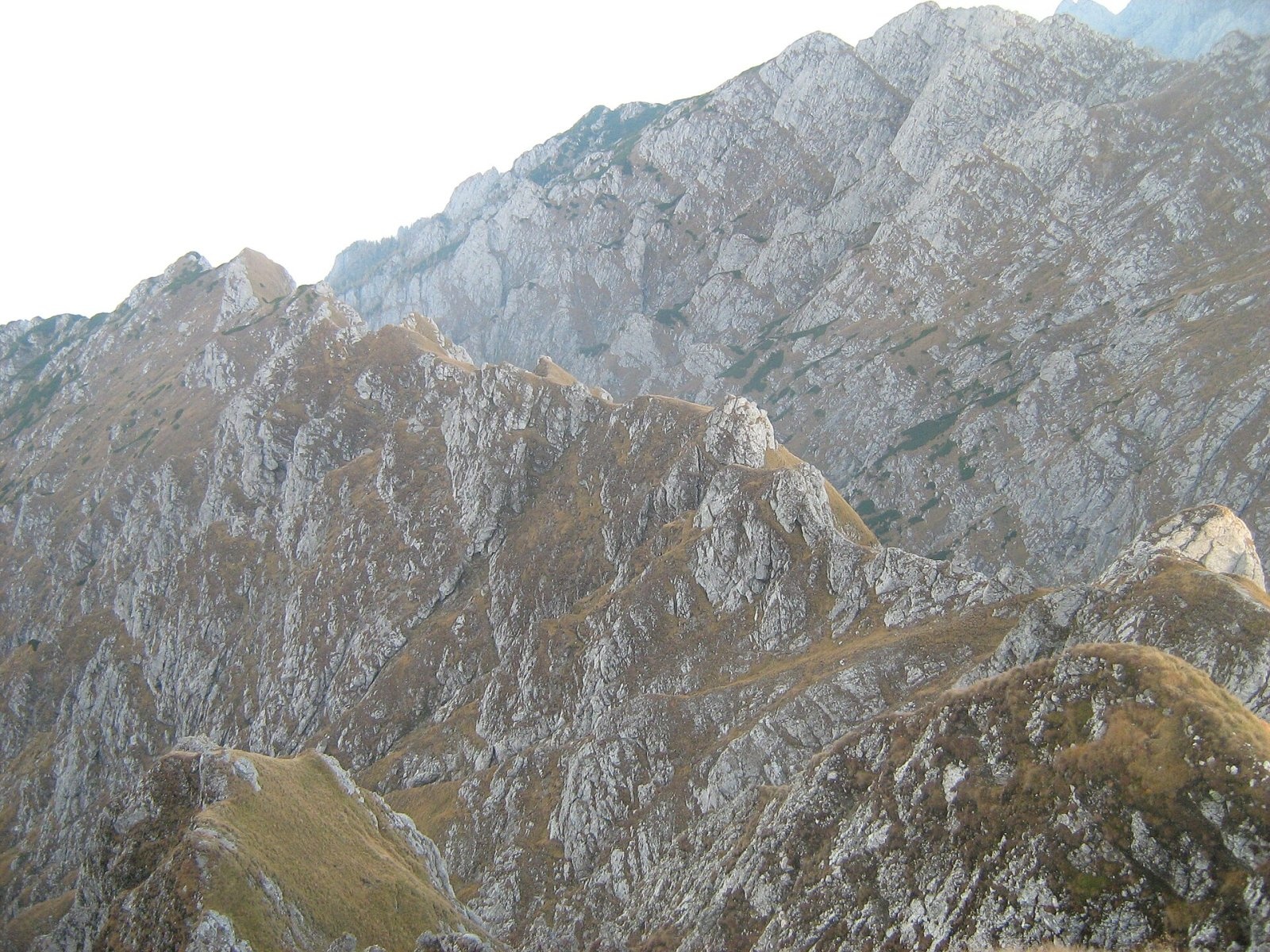
Bucșoiu (Romanian Vârful Bucșoiu) is a 2,492 m summit in the northern part of the Bucegi Mountains. According to Romanian Wikipedia it is the third-highest peak of the range, after Omu and Bucura Dumbravă (2,503 m). Bucșoiu is one of the arms of the “star” of ridges that meet on Omu: it runs north-east from it as part of the main watershed, and its rock walls drop steeply into the Mălăiești valley to the west and the Bucșoiu valley to the east. The summit lies in Brașov County, near the border with Prahova County.
Although it is close to the popular Bucegi plateau, Bucșoiu is a mountain of steep paths: the routes up it have cables and chains rather than easy walkways. Romanian Wikipedia notes that its massive pyramid can be seen from the Piatra Mare ridge and from the Râșnoavei valley.
How to get there / routes
The main waymarked route is the red stripe from the town of Bușteni via the Poiana Izvoarelor hut to the Omu hut. According to Munții Noștri, from Bușteni the path skirts Gâlma Mare through the Cerbului valley to Gura Diham, then continues to Poiana Izvoarelor and the Pichetul Roșu meadow, named after a former border post with a red roof. The Take Ionescu path leads to the “La Prepeleac” junction, from where the route climbs the east side of Bucșoiu along “Deubel's Path” (Drumul lui Deubel) through dwarf pine. The sloping rock slabs here have a fixed cable and are very slippery in rain. You reach the ridge at about 2,110 m and the summit roughly an hour later; allow 3.5–4 hours from “La Prepeleac” to the plateau. On the whole section from Poiana Izvoarelor to Omu, about 5 hours, there are no water sources.
The second, much steeper approach is Brâna Caprelor (the Goats' Ledge, blue triangle) from the second glacial cirque of the Mălăiești valley. Equipped with cables, it climbs over 700 m in about 2 hours to the rocky Brâna Caprelor saddle (2,285 m) on the Bucșoiu ridge. Munții Noștri warns plainly that it is no route for anyone afraid of heights. The easiest way onto Bucșoiu is from Omu: across the Bucșoiu saddle (2,372 m) it is only a short stretch of ridge.
What you see from the summit
The sources give no detailed description of the panorama. From the Brâna Caprelor route, Munții Noștri says, you get a superb view of the Mălăiești valley, Bucșoiu itself and the Bucegi ridge from Omu to Scara; from the summit, judging by its position, the plateau with Omu lies to the south and the Bârsa basin with Brașov to the north.
Nature and history
The west face of Bucșoiu is part of the “Abruptul Bucșoiu – Mălăiești – Gaura” reserve (1,634 ha) inside Bucegi Natural Park. It preserves classic glacial relief – cirques, rock walls and pinnacles – and its protected plants include edelweiss, mountain avens and the rare Daphne blagayana. On the northern spur of Bucșoiu above the Mălăiești valley, at about 1,700 m, grow a few Swiss stone pines (Pinus cembra), a relict species, and the “Bucșoiu pothole” is listed among the caving landmarks of the massif.
The name has interested linguists: according to Romanian Wikipedia, Sextil Pușcariu derived Bucșoiu, like the name Bucegi itself, from the old personal name Buc or Bucur, which he considered Dacian.
Safety, season and rules
The summit lies in Bucegi Natural Park, which requires a visitor ticket (10 lei per adult for three months, online or from the rangers). Munții Noștri lists both cable-protected routes as inaccessible in winter, and Brâna Caprelor is closed in winter. Avalanches come down the steep Bucegi slopes, so before a winter outing check the snow and avalanche bulletin at meteoromania.ro. In summer beware of thunderstorms on the open ridge and fog on the plateau.
The Bucegi have many bears. Walk in a group and talk, stay on marked paths, do not hike at dusk or at night, do not leave food near your tent, and do not run from sheepdogs near sheepfolds. In an emergency call the national dispatch 0SALVAMONT – 0725 826 668 or 112. Advice on bears is on the websites of Bucegi Natural Park and Salvamont România.
Photos: xulescu_g, CC BY-SA 2.0; Amorphisman, CC BY-SA 3.0; Bluecipo, CC BY-SA 3.0; xulescu_g, CC BY-SA 2.0; Cioboata Andrei, CC BY 3.0; Sefulretelei, CC BY-SA 4.0; Cioboata Andrei, CC BY 3.0 — Wikimedia Commons.
Getting there from Ukraine
Border crossings
- Porubne – Siret — road and pedestrian, 24/7
- Diakivtsi – Racovăț — road and pedestrian, 24/7 No freight traffic.
- Krasnoilsk – Vicovu de Sus — road and pedestrian, 08:00–20:00 Cars up to 3.5 t and pedestrians only; not 24/7.
- Solotvyno – Sighetu Marmației — road and pedestrian, 24/7 Passenger traffic only: vehicles up to 3.5 t with up to 9 seats, pedestrians.
- Diakove – Halmeu — road, 24/7 No pedestrian crossing.
By car
Chernivtsi – Bușteni ≈426 km, ≈7 h 32 min (via Diakivtsi – Racovăț); Rakhiv – Bușteni ≈454 km, ≈8 h 01 min (via Solotvyno – Sighetu Marmației); Uzhhorod – Bușteni ≈557 km, ≈9 h 15 min (via Diakove – Halmeu). Times without border queues, our road routing (GraphHopper, OSM).
Checked 03.11.2026; border crossing hours and timetables change — check before you travel.
Location on the map
Water and shelter nearby
- Omu Chalet1.3 km · Standing · 2 507 m
- Spring below Bucșoiu1.3 km · Not verified · 1 694 m
- Mălăiești Salvamont Hut1.3 km · Not verified · 1 709 m
- Mălăiești Hut1.3 km · Standing · 1 720 m
- Țigănești Hut2.3 km · Not verified · 2 169 m
- Spring below Colțul Mălinului2.5 km · Not verified · 1 581 m
- Izvor Mecet Spring2.6 km · Not verified · 2 279 m
- Morar Spring2.6 km · Not verified · 1 368 m
- Poiana Izvoarelor Hut2.8 km · Standing · 1 455 m
Comments
Nearby attractions
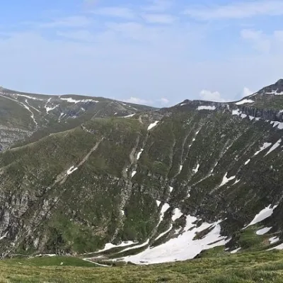 PeakCoștila PeakBuștenialtitude 2 490 m3.6 km from BucșoiuCoștila Peak (Romanian Vârful Coștila) is a 2,490 m summit in the Bucegi Mountains of the Southern Carpathians in Romania.
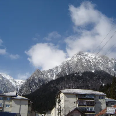 PeakCaraiman PeakBuștenialtitude 2 384 m5 km from BucșoiuCaraiman Peak (Romanian Vârful Caraiman) is a 2,384 m summit in the Bucegi Mountains of the Southern Carpathians in Romania.
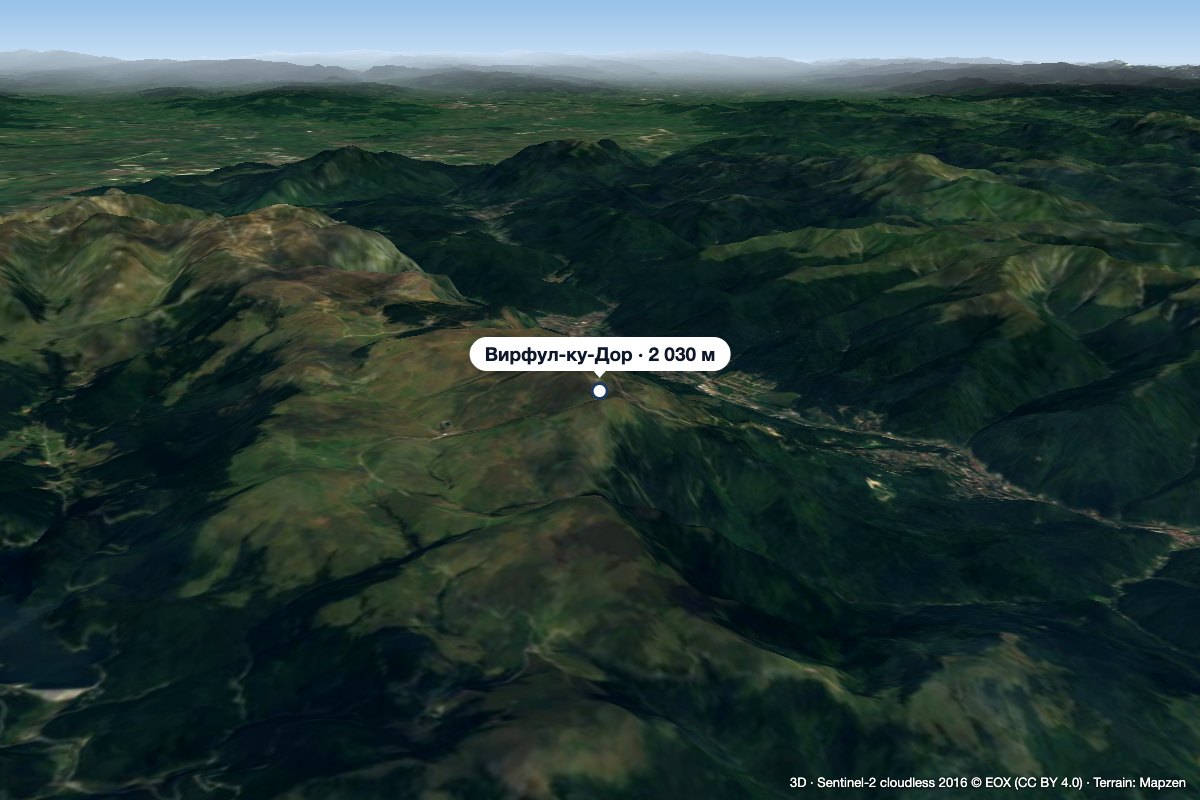 PeakVârful cu DorSinaiaaltitude 2 030 m12 km from BucșoiuVârful cu Dor (literally “the Peak with Longing”) is a 2,030 m summit on the southern edge of the Bucegi plateau, above the resort of Sinaia in Prahova County.
