Zaskalnik Falls
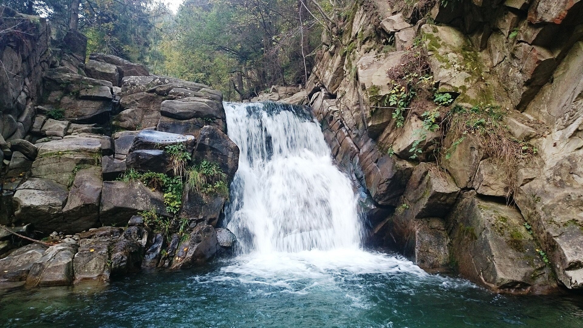
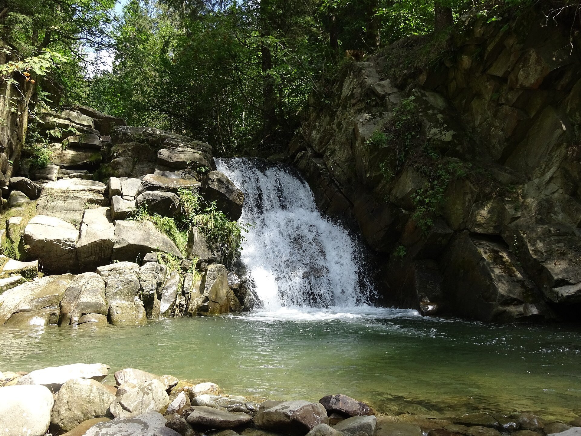
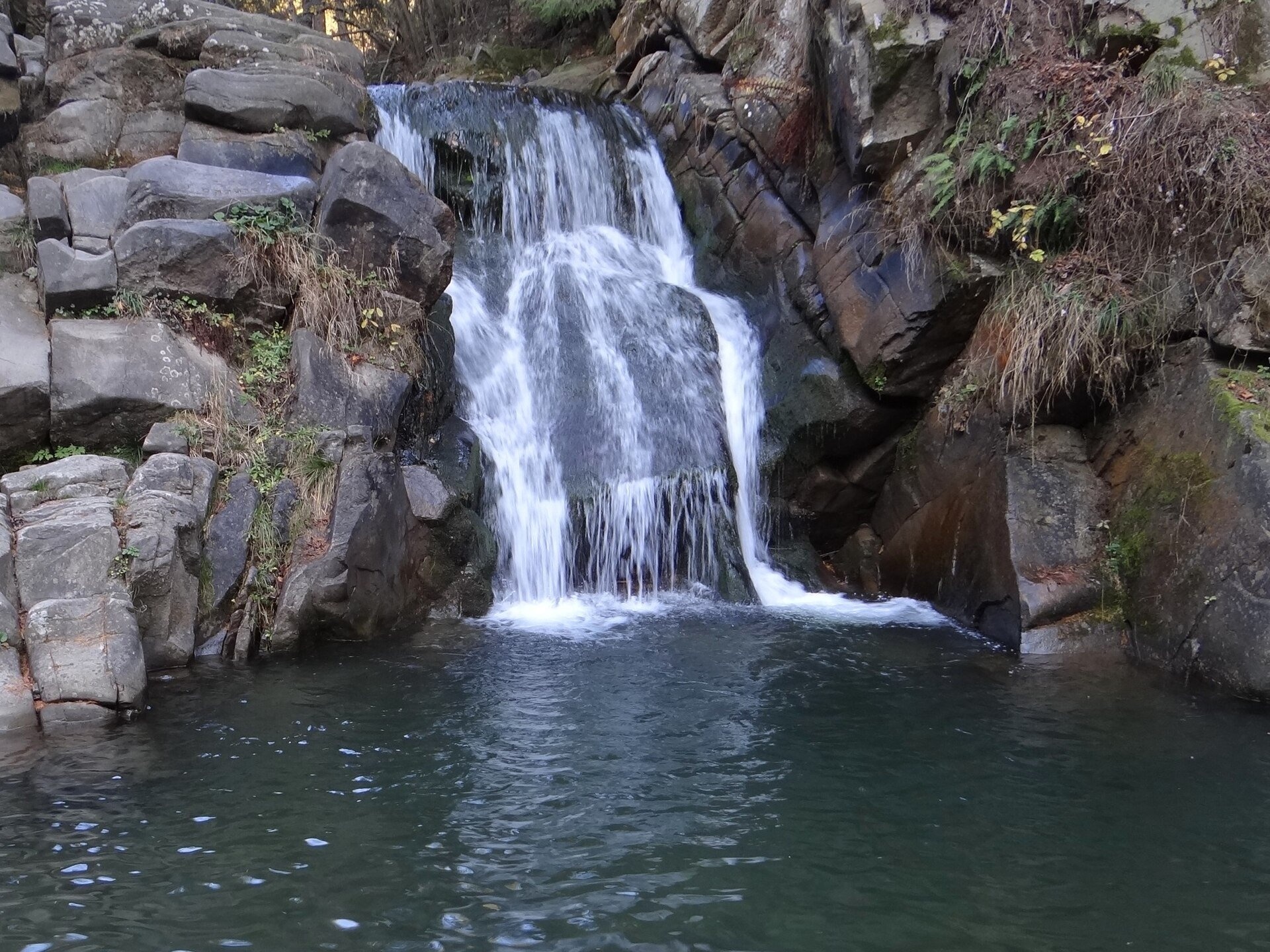
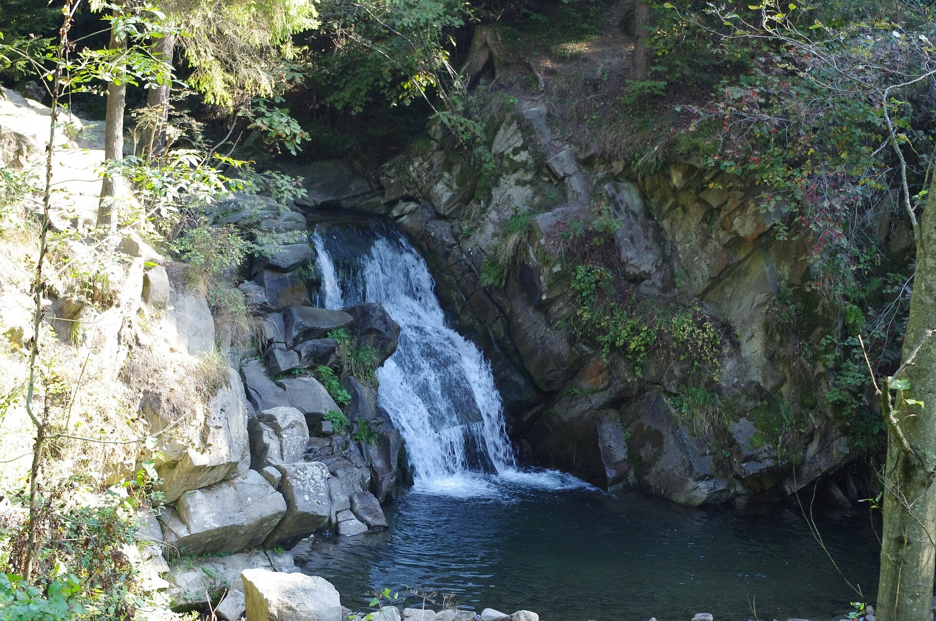
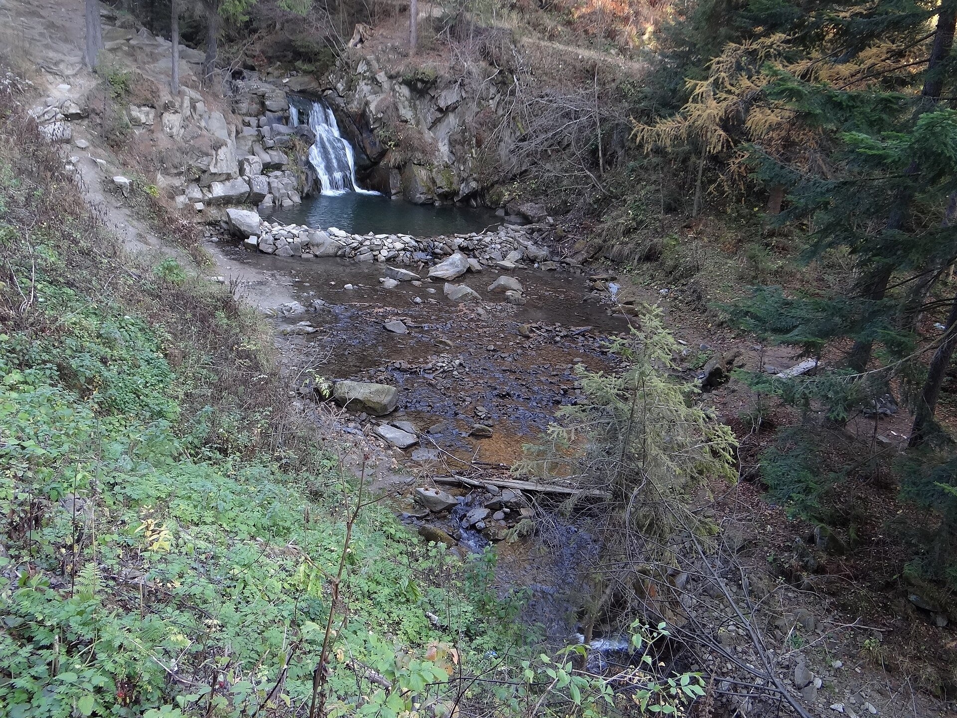
Zaskalnik is a small but very picturesque waterfall on the Sopotnicki stream (Sopotnicki Potok) near the spa town of Szczawnica. It is also called the Sopotnicki Waterfall or Sewerynówka, after the part of Szczawnica where it lies. The waterfall is in the south-western part of the Radziejowa Range (Pasmo Radziejowej) of the Beskid Sądecki, on the lower course of the stream between the summits of Bereśnik (843 m) and Wysoka (759 m), at about 550 m above sea level. The centre of Szczawnica is about 3 km away.
The step of the waterfall, about 5 m high, is built of sandstone lying in thick layers like masonry. Below it the falling water, swirling rock fragments around, has carved a pool about 2 m deep. The old crest of the waterfall is gradually being cut through, so the step slowly retreats upstream, leaving rocky buttresses on either side. The water of the stream is clean and clear. The waterfall was already a well-known sight in the early 20th century, when it was photographed for Szczawnica postcards.
The Sopotnicki stream itself is almost 10 km long (9.93 km), a right tributary of the Grajcarek that flows entirely within Szczawnica. It rises on the western slope of Przehyba at about 1,120 m, first runs west below the main ridge of the Radziejowa Range and then turns south. At Sewerynówka it is joined from the left by the Jastrzębi Potok and the Pod Górami stream, and a few hundred metres lower the water drops over a five-metre rock step — this is Zaskalnik. Further on the stream flows through the settlements of Kunie and Staszowa and joins the Grajcarek at about 470 m. Its valley holds a string of glades — Młaczki, Zbusiówki, Haligonowa, Sewerynówka and Koszarzysko.
What to see
- The waterfall itself, with stone "stairs" on both sides and a greenish pool. It carries most water after long rain and during snowmelt.
- The Sewerynówka chapel — a wooden church from 1925 near the waterfall.
- A place to rest: there are benches and picnic spots, and on hot days children love splashing in the shallows.
Getting there
This is an easy walk, not a mountain hike. The waterfall is about 3 km from Szczawnica: about 45 minutes at a gentle pace, or about an hour along the blue trail. The blue trail Przehyba – Szczawnica Zdrój passes right by the waterfall and continues up to the ridge of the Radziejowa Range; the black trail Szczawnica Sewerynówka – Bacówka PTTK pod Bereśnikiem starts nearby. By car you can drive along Sopotnicka and Kunie streets — the road is narrow, so take care; there is parking by the waterfall. An asphalt cycle route also leads here, and from Szczawnica you can come by horse-drawn carriage or the tourist "train". The place therefore suits families with children.
Season and safety
The waterfall is accessible all year round and entry is free. The water is cold and the stones by it are slippery, so keep an eye on children, especially near the deeper pool below the step. After heavy rain the stream becomes wild. The GOPR mountain rescue number is 985 or 601 100 300.
Nearby
In Szczawnica itself, stroll through the spa quarter with its wooden villas. Close by are the Homole Gorge and the summit of Palenica, higher up are the Bacówka PTTK pod Bereśnikiem and the PTTK hostel on Przehyba, and across the Dunajec the famous Trzy Korony in the Pieniny.
Photos: Happa, CC BY 3.0, Wikimedia Commons; Mach240390, CC BY 4.0, Wikimedia Commons; Jerzy Opioła, CC BY-SA 3.0, Wikimedia Commons; Artur Kozioł, CC BY-SA 3.0, Wikimedia Commons; Unknown authorUnknown author, Public domain, Wikimedia Commons.
Getting there from Ukraine
Border crossings
- Krakovets – Korczowa — road, 24/7
- Shehyni – Medyka — road, 24/7 Pedestrian crossing is not confirmed by the Ukrainian border service — check dpsu.gov.ua before the trip.
- Smilnytsia – Krościenko — road, 24/7
- Hrushiv – Budomierz — road, 24/7
- Mostyska – Przemyśl (rail) — rail, 24/7
By car
Lviv – Szczawnica ≈384 km, ≈5 h 25 min without queues: M-10 → Krakovets – Korczowa → A4 to Brzesko (≈198 km) → DK75 to Nowy Sącz → DW969 via Stary Sącz and Łącko to Krościenko nad Dunajcem → Szczawnica. ≈306 km, ≈4 h from the border.
Checked 23.10.2026; border crossing hours and timetables change — check before you travel.
Location on the map
Comments
Trails nearby
All trails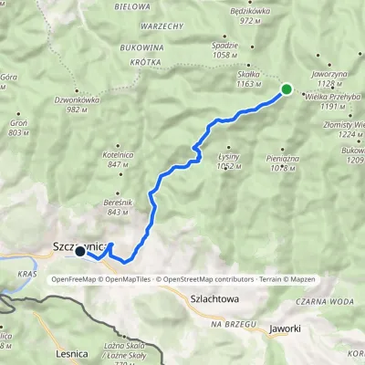 EasyOne-dayMarkedPrzehyba Szczawnica ZdrójElevation profile462–1 151 m9.7 kmascent 45 m≈ 2.5 h walkingunder 1 km from Zaskalnik Falls
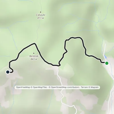 EasyOne-dayMarkedSzczawnica Sewerynówka Bacówka PTTK pod BereśnikiemElevation profile566–843 m2.2 kmascent 277 m≈ 1 h walkingunder 1 km from Zaskalnik Falls
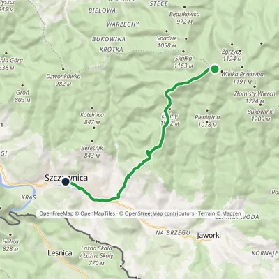 EasyOne-dayMarkedPrzehyba Szczawnica ZdrójElevation profile461–1 153 m10.2 kmascent 64 m≈ 2.5 h walkingunder 1 km from Zaskalnik Falls
Nearby attractions
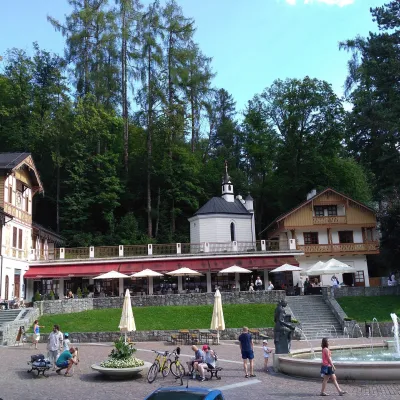 Historic siteSzczawnica1.5 km from Zaskalnik FallsSzczawnica is a small spa town in Lesser Poland with a population of about 5,200. It lies in the valley of the Grajcarek stream, on the border between the Pieniny and...
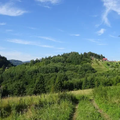 PeakPalenicaaltitude 722 m2.8 km from Zaskalnik Falls1 trail to the topPalenica is a 722 m summit in the Small Pieniny, rising directly above the spa town of Szczawnica in southern Poland.
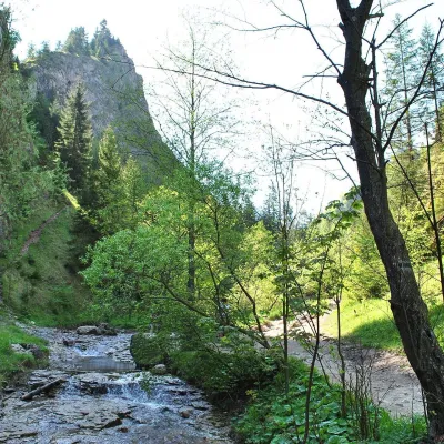 NatureHomole Gorge5.1 km from Zaskalnik FallsThe Homole Gorge (Wąwóz Homole) is one of the most beautiful rocky gorges in Poland. It lies in the Little Pieniny, in the Lemko village of Jaworki near Szczawnica.
Craft nearby
All craft places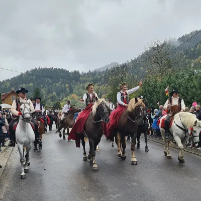 Markets & fairsAutumn Redyk in Szczawnica: sheep drive, oscypek and shepherds3.6 km from Zaskalnik FallsRedyk is an old Carpathian shepherding custom: in spring the flocks are driven up to the mountain pastures (hale), and in autumn, after the cheese-making season, they...
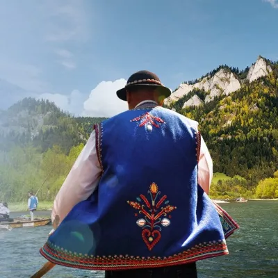 Ethno tours & guidesGoral raftsmen of Červený Kláštor: wooden-raft trip on the Dunajec7.9 km from Zaskalnik FallsBetween Červený Kláštor and Lesnica the Dunajec cuts a deep, winding gorge through the limestone Pieniny, and here the river becomes the border between Slovakia and...
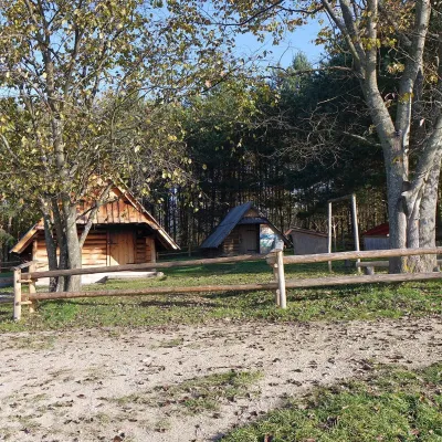 Cheese dairies & pasturesMajerz Meadow Shepherd's Hut, Pieniny National Park: oscypek and żętyca12 km from Zaskalnik FallsMajerz meadow (hala) sits on a 689 m hill between Czorsztyn-Nadzamcze and the village of Hałuszowa, above Lake Czorsztyn.
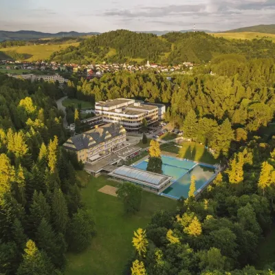 Water parks & thermal poolsVyšné Ružbachy Spa: Izabela Mountain Pools and Indoor Thermal Pool15 km from Zaskalnik FallsVyšné Ružbachy is one of Slovakia’s oldest spas. It lies on the south-eastern slope of the Spišská Magura at about 617 m, surrounded by coniferous forest that merges...
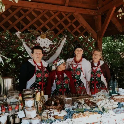 Markets & fairsFruit Harvest Festival in Łącko: village stands, fruit and folklore15 km from Zaskalnik FallsŁącko, in the Dunajec valley between Stary Sącz and the Pieniny, is one of Poland's best-known fruit-growing areas: the slopes around are covered with apple, pear and...
 Craft producersNestville Distillery, Hniezdne — Home of the First Slovak Whisky18 km from Zaskalnik FallsThis tradition is the basis for BGV, a company founded in 2001, which built the Nestville Distillery here.
