Kasárne, huts – Saddle Gežov
Trail map
Route, springs and shelters: © OpenStreetMap contributors (ODbL) · elevation: Copernicus DEM © DLR e.V., © Airbus DS · Data & licences
About the trail
Route Kasárne, huts – Saddle Gežov. Has yellow marking (regional route №8599, KST). Waymarking data: OpenStreetMap (© OpenStreetMap contributors, ODbL).
Officially marked regional tourist route No. 8599. The marking is yellow, the sign is a horizontal stripe on a white background. Marked and maintained by: KST. Length of the route — 2.5 km. Location: mountain range — Yavornyky, Slovakia.
At a glance
A short route of 2.5 km with 84 m of ascent from Kasárne, huts to Saddle Gežov. Estimated walking time: about 1 h, not counting stops. Difficulty: easy. Waymarking: yellow.
Water and overnight stays
Springs near the trail: at km 0.5 and 2.
Huts and shelters near the trail: LKJ Zlín Tourist Shelter (km 0).
When to go
Best time: May to October. In winter deep snow is possible, so experience and winter gear are needed.
Getting there
Start: Kasárne, huts. This is a one-way route: the finish is 2 km from the start in a straight line, so plan your way back in advance.
FAQ
- How long does the route take?
- Estimated walking time: about 1 h, not counting stops.
- Is there water on the route?
- Springs near the trail: at km 0.5 and 2.
- Where can I stay overnight?
- Huts and shelters near the trail: LKJ Zlín Tourist Shelter (km 0).
Water and shelter on the route
- LKJ Zlín Tourist Shelterkm 0.1 from the start · 210 m off the path · Standing · 928 m
- Spring below Veľký Javorník (north slope)km 0.3 from the start · 170 m off the path · Not verified · 923 m
- Javornícka studnička Prales Springkm 1.2 from the start · Not verified · 1 025 m
- Spring below Veľký Javorník (south-west slope)km 2.1 from the start · 180 m off the path · Not verified · 1 034 m
Comments
Trails nearby
All trails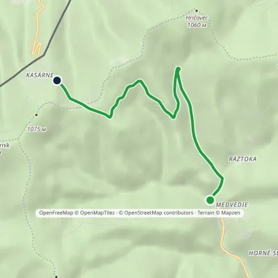 EasyOne-dayMarkedŠtiavnik, Ráztoka Kasárne, hutsElevation profile587–992 m5.7 kmascent 404 m≈ 2 h walking
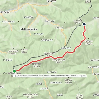 EasyOne-dayMarkedSaddle under Lemešná Malý JavorníkElevation profile798–1 075 m10.8 kmascent 168 m≈ 3 h walking
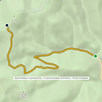 EasyOne-dayMarkedSedlo pod Veľkým Javorníkom Štiavnik, RáztokaElevation profile587–1 067 m6.4 kmascent 480 m≈ 2.5 h walking
Craft nearby
All craft places Cheese dairies & pasturesSalaš Orlové near Považská Bystrica: cheese, bryndza, žinčica21 km from the trailOrlové is a part of the town of Považská Bystrica on the left bank of the Váh, at the foot of hills that rise into the Strážov Hills.
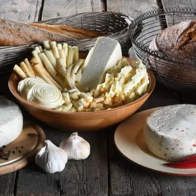 Cheese dairies & pasturesFarma Brezany near Žilina: hand-stretched cheese and a distillery26 km from the trailBrezany is a village a few kilometres south of Žilina, on the edge of the Žilina basin and the foothills leading towards the Rajec valley and the Strážov Hills.
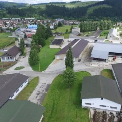 Cheese dairies & pasturesRaková farm in Kysuce: bryndza, žinčica and cheese cakes29 km from the trailKysuce is a hilly region in north-western Slovakia, near the Polish and Czech borders, with scattered hillside hamlets (“kopanice”) and an old tradition of keeping...
