Nový Sirk, junction — Rákoš, via Ploské, hammer, Burda, Polom, Rákoš mine
Trail map
Route, springs and shelters: © OpenStreetMap contributors (ODbL) · elevation: Copernicus DEM © DLR e.V., © Airbus DS · Data & licences
About the trail
Route Nový Sirk, junction – Ploské, hammer – Burda – Polom – Rákoš mine – Rákoš. Has green marking (regional route №5470, KST). Waymarking data: OpenStreetMap (© OpenStreetMap contributors, ODbL).
Officially marked regional tourist route No. 5470. The marking is green, the sign is a horizontal stripe on a white background. Marked and maintained by: KST. Length of the route — 22.6 km. Location: mountain range — Slovak Rudohorie, Slovakia.
At a glance
A one-day route of 22.6 km with 813 m of ascent from Nový Sirk, junction to Rákoš. Estimated walking time: about 7 h, not counting stops. Difficulty: hard. Waymarking: green.
Route stages
- 0–10 kmGentle ups and downs at 310–420 m
- 10–13 kmClimb of 280 m (up to 599 m)
- 13–16 kmDescent of 240 m (down to 364 m)
- 16–17 kmGentle ups and downs at 360–400 m
- 17–23 kmClimb of 280 m (up to 696 m)
Steepest kilometre: km 10–11, a climb of 160 m (≈16%).
Water and overnight stays
Springs near the trail: at km 1, 4 and 17. There are no springs between km 4 and 17 — carry at least 2 l of water.
When to go
The route can be walked most of the year; it is most comfortable from April to October.
Getting there
Start: Nový Sirk, junction. This is a one-way route: the finish is 12 km from the start in a straight line, so plan your way back in advance.
FAQ
- How long does the route take?
- Estimated walking time: about 7 h, not counting stops.
- Is there water on the route?
- Springs near the trail: at km 1, 4 and 17. There are no springs between km 4 and 17 — carry at least 2 l of water.
Water and shelter on the route
- Drinking water below Ostrá skalakm 1.1 from the start · 70 m off the path · Not verified · 406 m
- Spring below Zráz (south-east slope)km 4 from the start · 70 m off the path · Not verified · 329 m
- Lahôdka Springkm 16.7 from the start · 70 m off the path · Not verified · 392 m
Comments
Trails nearby
All trails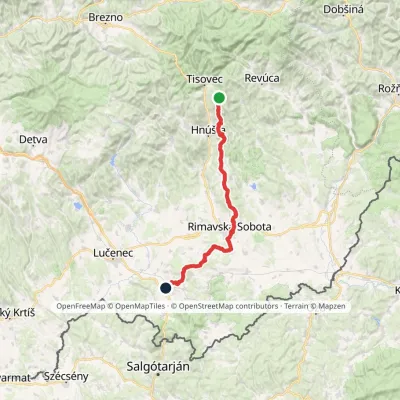 HardMulti-dayMarkedMária Széchy Trail: Holcková FiľakovoElevation profile191–1 121 m66.2 kmascent 783 m
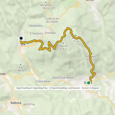 ModerateOne-dayMarkedNový Sirk Rákošvia Železník, Pri JavoraElevation profile326–829 m9.4 kmascent 519 m≈ 3.5 h walking
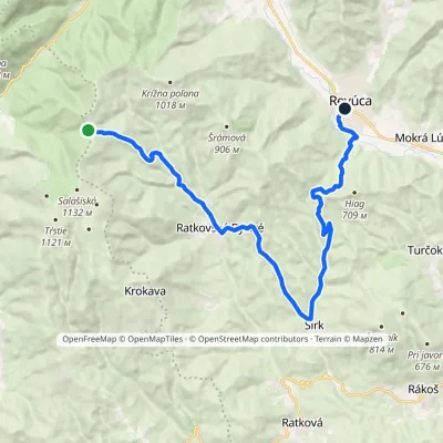 ModerateTwo-dayMarkedSedlo Korimovo RevúcaElevation profile305–960 m21 kmascent 485 m≈ 6 h walking
Craft nearby
All craft places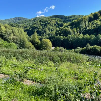 Eco farmsČučoriedková záhrada: pick-your-own blueberries and aronia juice7.8 km from the trailHere in 2010 the owners’ family planted the first Canadian blueberry bushes on a small plot — and gradually grew them into the Čučoriedková záhrada (Blueberry Garden).
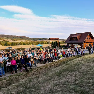 Cheese dairies & pasturesSalaš pod Maginhradom: Gemer sheep’s cheese and the Mitrovanie feast23 km from the trailAcross the road rises Maginhrad hill: in the 15th century a castle stood there that served as a Hussite fortress, and the Romantic poet Ján Botto dedicated a ballad to...
 Cheese dairies & pasturesSalaš Zbojská: sheep’s cheese, bryndza and žinčica on the pass27 km from the trailThe Zbojská pass lies at about 740 metres in the forests between Brezno and Tisovec, on the edge of the Hron valley and the Muránska planina plateau.
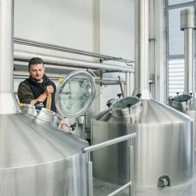 Craft beer & breweriesKaltenecker Brewery, Rožňava: Gemer craft beer from the source29 km from the trailThe modern Kaltenecker brewery was founded in 1997, and from the start it took a different path from the big breweries of the day: instead of one-size-fits-all beer, a...
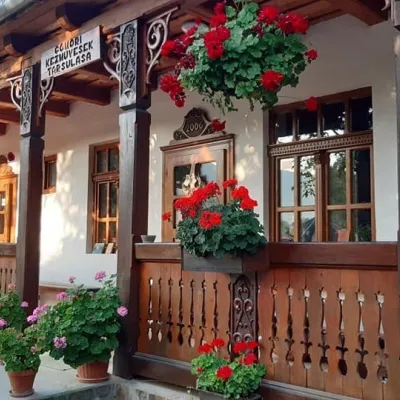 Markets & fairsGemer Craft Fair at Krásnohorská Dlhá Lúka below Krásna Hôrka32 km from the trailKrásnohorská Dlhá Lúka is a village below Krásna Hôrka castle, a few kilometres from Rožňava. In 2002 the Association of Gemer Craftsmen (Združenie gemerských...
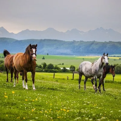 Horse ridingRanč u Trapera, Podlesok: Horse Rides in the Slovak Paradise44 km from the trailA little away from the main tourist bustle, below the forest, stands the family-run Ranč u Trapera, run by the Salaj family.
