Španí laz, hut — Sucháň, via Trúbiaci kameň
Trail map
Route, springs and shelters: © OpenStreetMap contributors (ODbL) · elevation: Copernicus DEM © DLR e.V., © Airbus DS · Data & licences
About the trail
Route Španí laz, hut – Trúbiaci kameň – Sucháň. Has green marking (regional route №5455, KST). Waymarking data: OpenStreetMap (© OpenStreetMap contributors, ODbL).
Officially marked regional tourist route No. 5455. The marking is green, the sign is a horizontal stripe on a white background. Marked and maintained by: KST. Length of the route — 10.9 km. Location: mountain range — Strednoslovenske Mountains, Slovakia.
At a glance
A short route of 10.9 km with 144 m of ascent and 285 m of descent from Španí laz, hut to Sucháň. Estimated walking time: about 3 h, not counting stops. Difficulty: easy. Waymarking: green.
Route stages
- 0–5 kmDescent of 270 m (down to 366 m)
- 5–11 kmGentle ups and downs at 360–510 m
Water and overnight stays
Springs near the trail: at km 6 and 9.
When to go
The route can be walked most of the year; it is most comfortable from April to October.
Getting there
Start: Španí laz, hut. This is a one-way route: the finish is 9 km from the start in a straight line, so plan your way back in advance.
FAQ
- How long does the route take?
- Estimated walking time: about 3 h, not counting stops.
- Is there water on the route?
- Springs near the trail: at km 6 and 9.
Water and shelter on the route
- Spring below Cesnačkakm 6.1 from the start · 170 m off the path · Not verified · 421 m
- Well below Za Kamencomkm 8.9 from the start · Not verified · 449 m
Comments
Trails nearby
All trails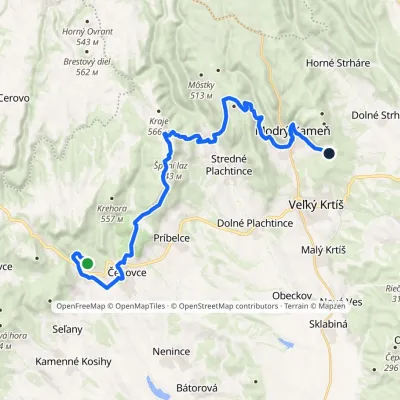 HardTwo-dayMarkedJunction under Babka Kamenný vrchvia Modrý Kameň, Horné PlachtinceElevation profile228–643 m27.8 kmascent 908 m≈ 9 h walking
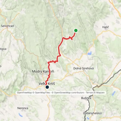 HardTwo-dayMarkedVeľký Krtíš Lysecvia Horné Strháre, SennéElevation profile197–717 m28.2 kmascent 499 m≈ 8 h walking
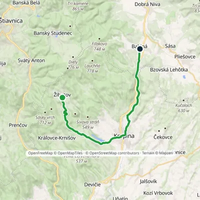 ModerateTwo-dayMarkedBabiná ŽibritovElevation profile267–555 m20.7 kmascent 415 m≈ 6 h walking
Craft nearby
All craft places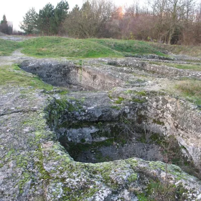 Water parks & thermal poolsDudince spa: carbon dioxide–sulphur water and the Roman Baths29 km from the trailDudince is the smallest town in Slovakia (about 1,400 inhabitants) and the southernmost Slovak spa. It lies at 144 m in the valley of the Štiavnica stream, where the...
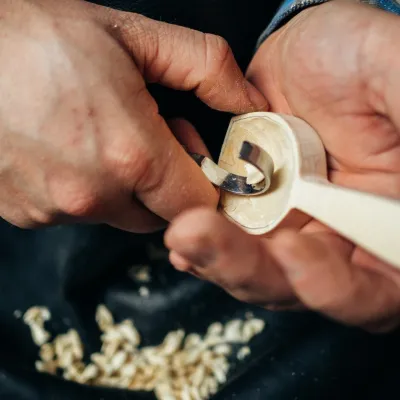 Crafts & workshopsDo dielne, Počúvadlo: woodcarving courses near Banská Štiavnica35 km from the trailHere, in the quiet among the hills, works the small workshop Do dielne (“To the workshop”). Its owner Dušan Budinský ran a hairdresser’s in Bratislava for eight years,...
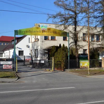 Cheese dairies & pasturesZvolenská Slatina bryndza dairy: the oldest, since 179736 km from the trailBryndza with more than 220 years behind it Zvolenská Slatina is a large village in the Podpoľanie region, a few kilometres from Zvolen, at the foot of the volcanic...
