Cheremosh River
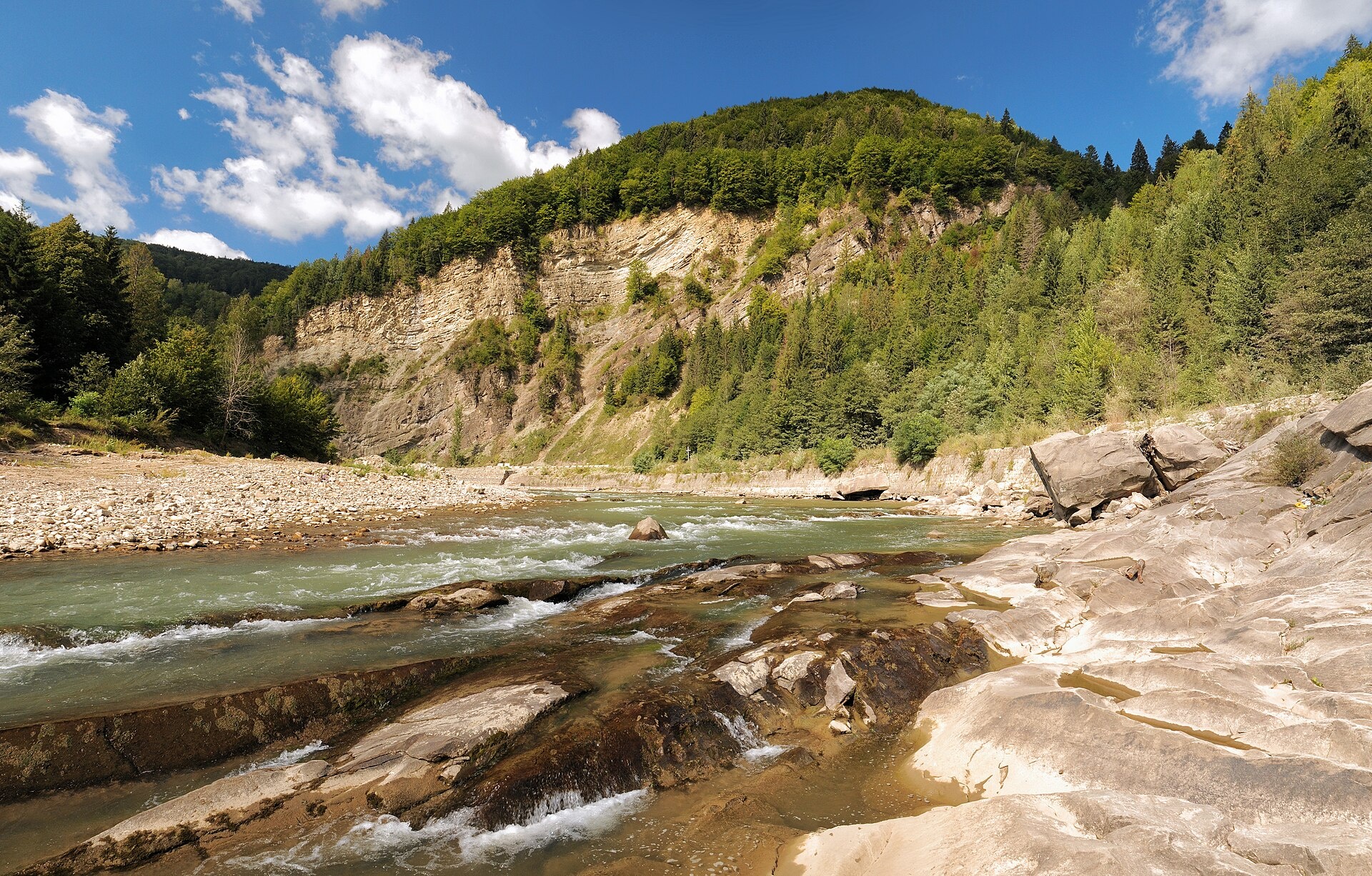
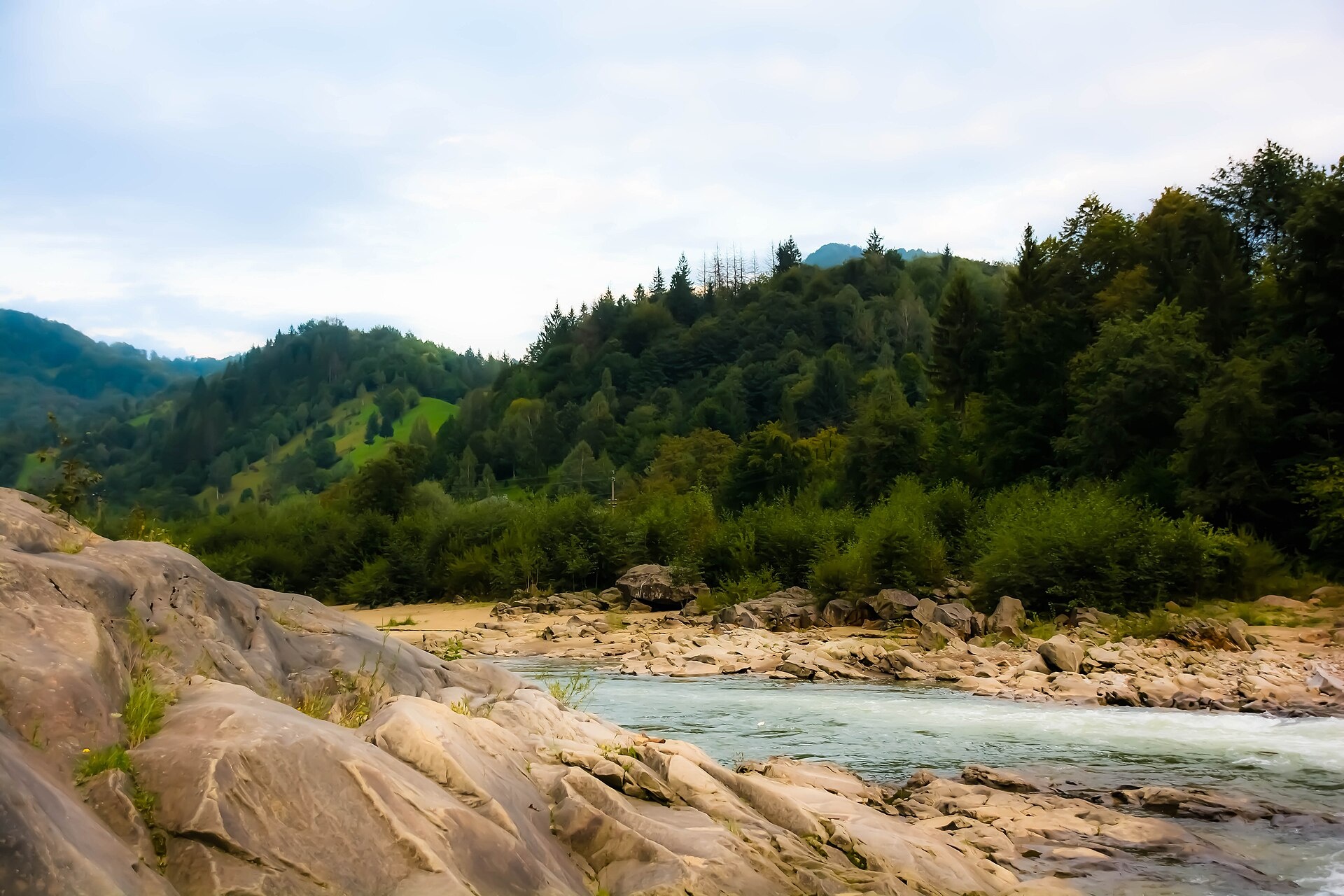
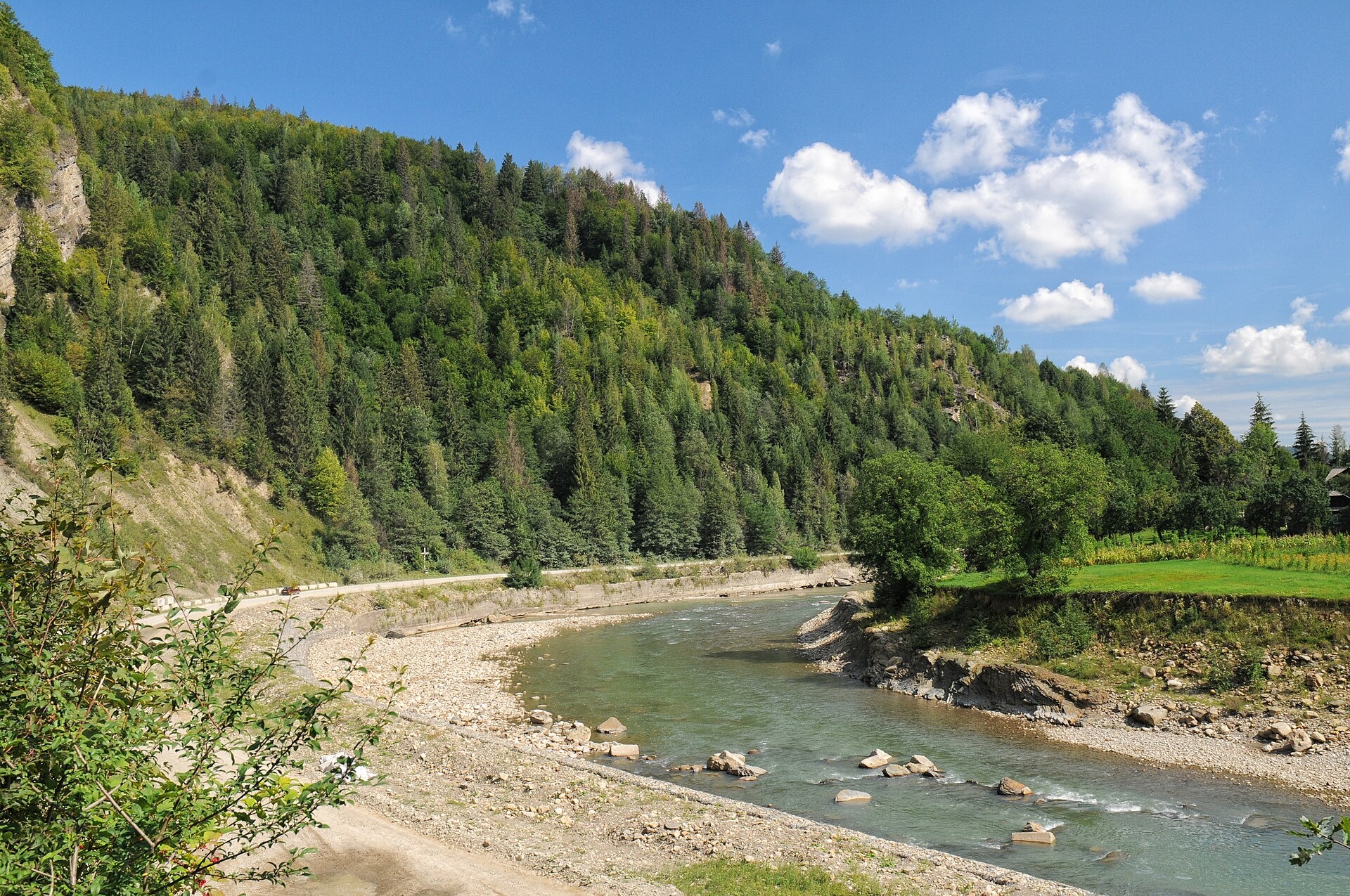
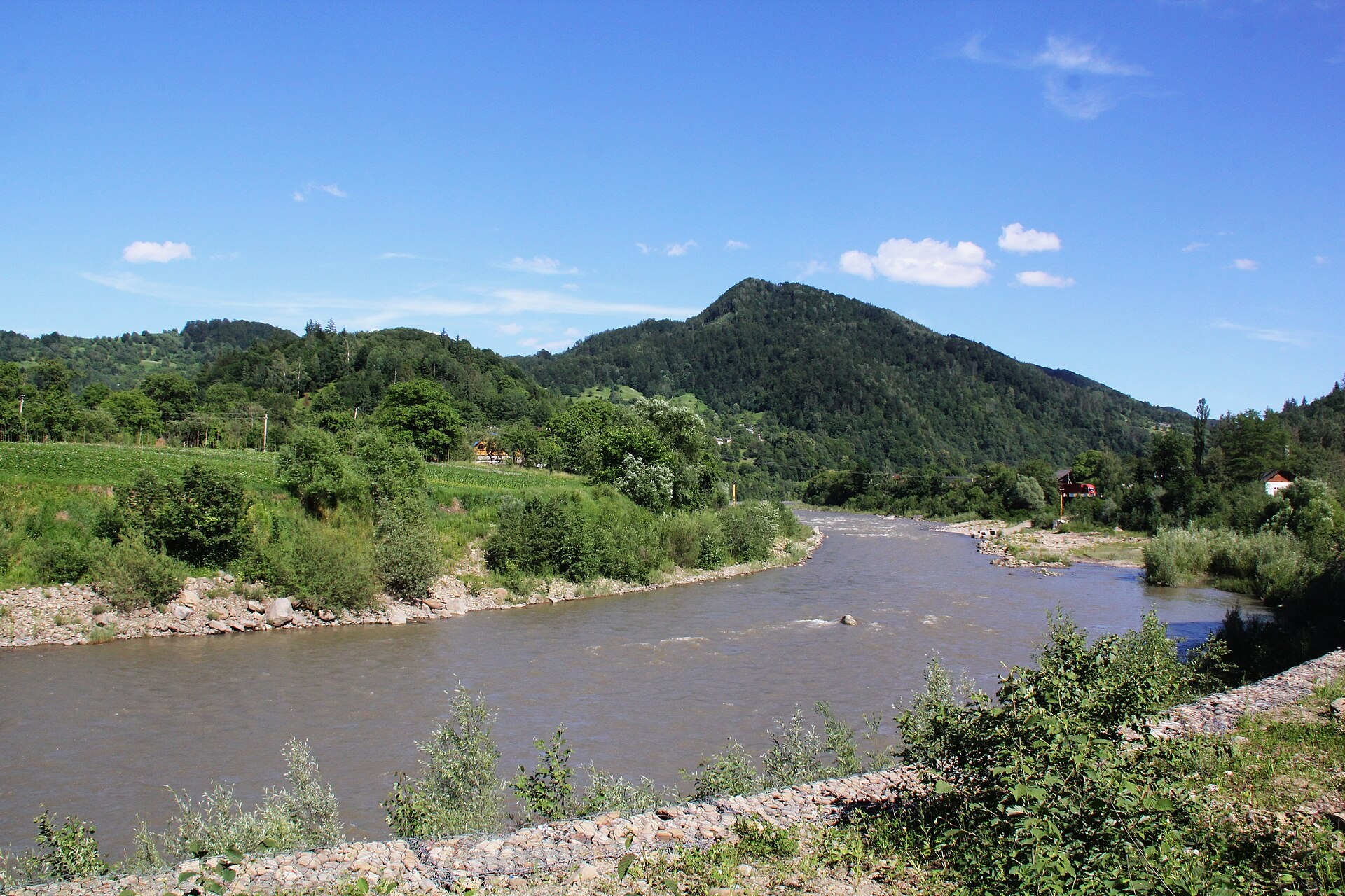
The Cheremosh is born near Usteriky, where the Chornyi Cheremosh and the Bilyi Cheremosh meet. From there it flows for about 80 km past Kuty on the Ivano-Frankivsk bank and Vyzhnytsia on the Bukovynian bank, leaves the mountains and joins the Prut near Zavallia. The river marks the boundary between Hutsulshchyna and Bukovyna.
Below Usteriky the river cuts a 33-km mountain gorge with the Ketlyshche and Sokilskyi rapids, where the open Ukrainian whitewater technique championship «Cheremosh» is held every year. Near Vyzhnytsia the valley opens up; the Vyzhnytskyi National Nature Park lies next to the town, with the Vyzhenka and its waterfalls. Kuty, with a gauging station running since 1927, is a good place to start a walk along the bank.
According to the State Fisheries Agency, the Cheremosh holds brown trout, chub, perch and pike, as well as the Red Book Danube salmon, barbel and nase. Fry are released every year: in 2025 more than 42,000, mostly trout, plus grayling and Danube salmon. The spawning closure runs from 1 April to 20 May, and trout may not be taken from 10 October to 1 March. Above Vyzhnytsia the river is part of the Cheremoskyi ichthyological reserve. Details are in the fishing section below; for all waters see Fishing in the Carpathians.
- Length: 80 km
- Catchment: 2,650 km²
- Source: confluence of the Chornyi and Bilyi Cheremosh near Usteriky
- Mouth: the Prut near Zavallia
- Oblasts: Ivano-Frankivsk, Chernivtsi
Photos: Сергій Криниця (Haidamac), CC BY-SA 3.0; Вишневська Антоніна, CC BY-SA 4.0; Сергій Криниця (Haidamac), CC BY-SA 3.0; Yadigshonuff, CC BY-SA 4.0 — Wikimedia Commons.
Location on the map
Fishing on the Cheremosh
The Cheremosh is a large mountain river between Kuty and Vyzhnytsia with rapids and clear water. Anglers catch brown trout and chub here, and every year the state releases trout, grayling and Danube salmon fry.
Can I fish now?
- Brown trout — closed until 1 MarchTrout spawning: closed from 10 October to 1 March in the Zakarpattia, Ivano-Frankivsk, Lviv and Chernivtsi regions.Each illegally caught fish costs UAH 7,225 in damages on top of the fine.
- Other species — allowed within the daily limitKeep to the minimum sizes and the daily limit; release protected species.
Limits and rules
Cheremoskyi ichthyological reserve
The water and banks of the Cheremosh upstream of Vyzhnytsia (on the Chernivtsi side, to mid-river) are part of the local Cheremoskyi ichthyological reserve (3,288 ha, since 2001). Its regulations are not published, so check the fishing regime with the Chernivtsi fisheries patrol. The Vyzhnytskyi and Hutsulshchyna national parks also lie along the river: fishing there is only possible on stretches of the regulated recreation zone, and the parks publish no rules. The former year-round ban on the Cheremosh rivers down to Kuty was lifted when the current Rules took effect (December 2022).
What to catch
 Brown troutthe mountain course from Usteriky to Vyzhnytsia · closed from 10 October to 1 Marchclosed until 1 March
 ChubVashkivtsi, Ispas, Dolishnie Zaluchchiaallowed
 Perchlower course, Dolishnie Zaluchchiaallowed
 Pikeclosed from 15 February to 31 Marchallowed
Surveys in 2007–2011 also found the Red Book streber and the Kessler’s gudgeon in the Cheremosh. Rainbow trout were released into the Siret, Cheremosh and Prut (reported together) in 2018–2020, so you may hook one too.
 Danube salmon (huchen)
 Grayling
 Barbel
 Nase
Nase Common dace
Red Book of Ukraine species: if one bites, unhook it carefully and release it. Taking one means a fine and compensation for damages.
Stocking 2025
42,301 young fish released into the river under the state stocking programme
- Brown trout38,301
- Danube salmon (huchen) Red Book1,400
- Grayling Red Book2,600
Bite forecast near Vyzhnytsia
- TodaygoodSteady pressure, moderate wind1025 hPa · wind up to 19 km/h · 6…10 °C
- TomorrowgoodSteady pressure, moderate wind1025 hPa · wind up to 17 km/h · 6…9 °C
- Saturday, 17 OctobergoodSteady pressure, light wind1019 hPa · wind up to 15 km/h · 6…10 °C
For species open now: chub, perch, pike. Brown trout closed. Based on pressure, wind, temperature and cloud — an estimate, not a guarantee.
Fishing spots 80
Places where you can drive up to the water: fish markers on the page map and the list below. Look at the satellite view before you go — the bank may be steep or overgrown.
Closed right now: brown trout — until 1 March.
- By the bridge, UsterikyAbout 70 m to the water from a dirt road. Bridge 80 m away. Village: Usteriky.Nature reserve (zakaznyk) — check the fishing rules
- By the main road, UsterikyAbout 50 m to the water from the main road. Nearest village: Usteriky, 950 m.Nature reserve (zakaznyk) — check the fishing rules
- By the road, ShpetkyAbout 50 m to the water from the road. Nearest village: Shpetky, 940 m.Nature reserve (zakaznyk) — check the fishing rules
- By the road, ShpetkyAbout 40 m to the water from the road. Village: Shpetky.Nature reserve (zakaznyk) — check the fishing rules
- By the bridge, Ust-PutylaAbout 50 m to the water from the main road. Bridge 80 m away. Village: Ust-Putyla.Nature reserve (zakaznyk) — check the fishing rules
- By the road, BarvinkivAbout 40 m to the water from the road. Village: Barvinkiv.Nature reserve (zakaznyk) — check the fishing rules
- By the road, MarynychiAbout 150 m to the water from the road. Village: Marynychi.Nature reserve (zakaznyk) — check the fishing rules
- By the road, KhorotseveAbout 130 m to the water from the road. Village: Khorotseve.Nature reserve (zakaznyk) — check the fishing rules
Show all spots (80)
- By the road, PetrashiAbout 100 m to the water from the road. Nearest village: Petrashi, 1.1 km.Nature reserve (zakaznyk) — check the fishing rules
- By the road, PetrashiAbout 40 m to the water from the road. Village: Petrashi.Nature reserve (zakaznyk) — check the fishing rules
- By the bridge, BiloberizkaAbout 50 m to the water from the main road. Bridge 50 m away. Village: Biloberizka.Nature reserve (zakaznyk) — check the fishing rules
- Access from a village street, BiloberizkaAbout 60 m to the water from the street. Nearest village: Biloberizka, 1.1 km.Nature reserve (zakaznyk) — check the fishing rules
- By the main road, OkolenaAbout 40 m to the water from the main road. Nearest village: Okolena, 1.2 km.Nature reserve (zakaznyk) — check the fishing rules
- By the main road, OkolenaAbout 110 m to the water from the main road. Village: Okolena.Nature reserve (zakaznyk) — check the fishing rules
- By the bridge, OkolenaAbout 70 m to the water from the main road. Bridge 70 m away. Nearest village: Okolena, 1.1 km.Nature reserve (zakaznyk) — check the fishing rules
- By the road, Roztoky (1.8 km)About 60 m to the water from the road. Nearest village: Roztoky, 1.8 km.Nature reserve (zakaznyk) — check the fishing rules
- Access from a village street, RoztokyAbout 140 m to the water from the street. Nearest village: Roztoky, 1.2 km.Nature reserve (zakaznyk) — check the fishing rules
- By the road, RoztokyAbout 70 m to the water from the road. Nearest village: Roztoky, 720 m.Nature reserve (zakaznyk) — check the fishing rules
- By the road, RoztokyAbout 40 m to the water from the road. Nearest village: Roztoky, 780 m.Nature reserve (zakaznyk) — check the fishing rules
- By the road, RoztokyAbout 140 m to the water from the road. Nearest village: Roztoky, 870 m.Nature reserve (zakaznyk) — check the fishing rules
- By the main road, KhorovyAbout 80 m to the water from the main road. Nearest village: Khorovy, 820 m.Nature reserve (zakaznyk) — check the fishing rules
- Dirt-road access, KhorovyAbout 40 m to the water from a dirt road. Village: Khorovy.Nature reserve (zakaznyk) — check the fishing rules
- By the main road, KhorovyAbout 30 m to the water from the main road. Nearest village: Khorovy, 1.2 km.Nature reserve (zakaznyk) — check the fishing rules
- By the main road, PidzakharychiAbout 120 m to the water from the main road. Nearest village: Pidzakharychi, 1.2 km.Nature reserve (zakaznyk) — check the fishing rules
- By the road, PidzakharychiAbout 80 m to the water from the road. Village: Pidzakharychi.Nature reserve (zakaznyk) — check the fishing rules
- By the bridge, PidzakharychiAbout 50 m to the water from the street. Bridge 80 m away. Village: Pidzakharychi.Nature reserve (zakaznyk) — check the fishing rules
- Local-road access, MizhbrodyAbout 40 m to the water from a local road. Nearest village: Mizhbrody, 880 m.Nature reserve (zakaznyk) — check the fishing rules
- By the main road, MizhbrodyAbout 50 m to the water from the main road. Nearest village: Mizhbrody, 1.1 km.Nature reserve (zakaznyk) — check the fishing rules
- By the main road, MizhbrodyAbout 90 m to the water from the main road. Village: Mizhbrody.Nature reserve (zakaznyk) — check the fishing rules
- Dirt-road access, MizhbrodyAbout 110 m to the water from a dirt road. Nearest village: Mizhbrody, 760 m.Nature reserve (zakaznyk) — check the fishing rules
- Access road to the water, TiudivAbout 120 m to the water from an access road. Village: Tiudiv.Nature reserve (zakaznyk) — check the fishing rules
- Dirt-road access, RivniaAbout 90 m to the water from a dirt road. Nearest village: Rivnia, 740 m.Nature reserve (zakaznyk) — check the fishing rules
- By the main road, RivniaAbout 70 m to the water from the main road. Village: Rivnia.Nature reserve (zakaznyk) — check the fishing rules
- Dirt-road access, TsentrAbout 100 m to the water from a dirt road. Nearest village: Tsentr, 810 m.Nature reserve (zakaznyk) — check the fishing rules
- Access road to the water, VyzhnytsiaAbout 60 m to the water from an access road. Village: Vyzhnytsia.
- Access road to the water, VyzhnytsiaAbout 50 m to the water from an access road. Nearest village: Vyzhnytsia, 740 m.
- Access from a village street, ChornohuzyAbout 140 m to the water from the street. Nearest village: Chornohuzy, 1.2 km.
- Dirt-road access, ChornohuzyThe road comes almost to the water. Nearest village: Chornohuzy, 1.0 km.
- Dirt-road access, Chornohuzy (1.8 km)About 70 m to the water from a dirt road. Nearest village: Chornohuzy, 1.8 km.
- Dirt-road access, SlobidkaAbout 130 m to the water from a dirt road. Nearest village: Slobidka, 1.3 km.
- Dirt-road access, SlobidkaAbout 90 m to the water from a dirt road. Nearest village: Slobidka, 890 m.
- Dirt-road access, SlobidkaAbout 70 m to the water from a dirt road. Nearest village: Slobidka, 1.3 km.
- Dirt-road access, Slobidka (1.8 km)About 100 m to the water from a dirt road. Nearest village: Slobidka, 1.8 km.
- Dirt-road access, Kobaky (2.4 km)About 90 m to the water from a dirt road. Nearest village: Kobaky, 2.4 km.
- Dirt-road access, Ispas (2.4 km)About 100 m to the water from a dirt road. Nearest village: Ispas, 2.4 km.
- Dirt-road access, Miliieve (1.9 km)About 100 m to the water from a dirt road. Nearest village: Miliieve, 1.9 km.
- Dirt-road access, MiliieveAbout 40 m to the water from a dirt road. Nearest village: Miliieve, 1.5 km.
- Dirt-road access, MiliieveAbout 150 m to the water from a dirt road. Nearest village: Miliieve, 1.4 km.
- Tributary mouth, Rybne (1.7 km)About 100 m to the water from a dirt road. Nearest village: Rybne, 1.7 km.
- Dirt-road access, RybneAbout 40 m to the water from a dirt road. Nearest village: Rybne, 1.1 km.
- Dirt-road access, RybneAbout 80 m to the water from a dirt road. Nearest village: Rybne, 1.4 km.
- Dirt-road access, Rybne (2.2 km)About 140 m to the water from a dirt road. Nearest village: Rybne, 2.2 km.
- Tributary mouth, Banyliv (1.7 km)About 40 m to the water from a dirt road. Nearest village: Banyliv, 1.7 km.
- Tributary mouth, Banyliv (1.8 km)The road comes almost to the water. Nearest village: Banyliv, 1.8 km.
- Dirt-road access, Banyliv (2.1 km)About 40 m to the water from a dirt road. Nearest village: Banyliv, 2.1 km.
- Dirt-road access, Popelnyky (1.8 km)About 150 m to the water from a dirt road. Nearest village: Popelnyky, 1.8 km.
- Dirt-road access, Tuchapy (1.6 km)About 120 m to the water from a dirt road. Nearest village: Tuchapy, 1.6 km.
- Dirt-road access, TuchapyAbout 30 m to the water from a dirt road. Nearest village: Tuchapy, 1.1 km.
- Dirt-road access, Tuchapy (1.7 km)About 30 m to the water from a dirt road. Nearest village: Tuchapy, 1.7 km.
- Dirt-road access, Sloboda-BanylivAbout 110 m to the water from a dirt road. Nearest village: Sloboda-Banyliv, 1.3 km.
- Tributary mouth, Sloboda-BanylivAbout 130 m to the water from an access road. Nearest village: Sloboda-Banyliv, 1.1 km.
- Dirt-road access, Sloboda-BanylivAbout 130 m to the water from a dirt road. Nearest village: Sloboda-Banyliv, 1.1 km.
- Dirt-road access, KniazheAbout 90 m to the water from a dirt road. Nearest village: Kniazhe, 840 m.
- Dirt-road access, KniazheAbout 80 m to the water from a dirt road. Village: Kniazhe.
- Tributary mouth, Kniazhe (1.5 km)About 100 m to the water from a dirt road. Nearest village: Kniazhe, 1.5 km.
- Dirt-road access, Horishnie Zaluchchia (2.0 km)About 70 m to the water from a dirt road. Nearest village: Horishnie Zaluchchia, 2.0 km.
- Tributary mouth, Horishnie ZaluchchiaAbout 50 m to the water from a dirt road. Nearest village: Horishnie Zaluchchia, 1.2 km.
- Dirt-road access, Horishnie ZaluchchiaAbout 60 m to the water from a dirt road. Nearest village: Horishnie Zaluchchia, 1.2 km.
- Dirt-road access, Dolishnie ZaluchchiaAbout 90 m to the water from a dirt road. Nearest village: Dolishnie Zaluchchia, 1.2 km.
- Dirt-road access, Dolishnie ZaluchchiaAbout 120 m to the water from a dirt road. Village: Dolishnie Zaluchchia.
- Dirt-road access, Dolishnie ZaluchchiaAbout 130 m to the water from a dirt road. Nearest village: Dolishnie Zaluchchia, 1.1 km.
- Dirt-road access, Vashkivtsi (1.6 km)About 50 m to the water from a dirt road. Nearest village: Vashkivtsi, 1.6 km.
- Dirt-road access, Vashkivtsi (1.7 km)About 140 m to the water from a dirt road. Nearest village: Vashkivtsi, 1.7 km.
- Access road to the water, Chortoryia (1.6 km)About 100 m to the water from an access road. Nearest village: Chortoryia, 1.6 km.
- Dirt-road access, ChortoryiaAbout 90 m to the water from a dirt road. Nearest village: Chortoryia, 1.3 km.
- Dirt-road access, ChortoryiaAbout 120 m to the water from a dirt road. Nearest village: Chortoryia, 1.4 km.
- Dirt-road access, ZavalliaAbout 100 m to the water from a dirt road. Nearest village: Zavallia, 1.2 km.
- Tributary mouth, ZavalliaAbout 110 m to the water from a dirt road. Nearest village: Zavallia, 1.3 km.
- Tributary mouth, Zavallia (1.9 km)About 40 m to the water from a dirt road. Nearest village: Zavallia, 1.9 km.
- Dirt-road access, Zavallia (2.2 km)About 60 m to the water from a dirt road. Nearest village: Zavallia, 2.2 km.
Spots are marked from open data (roads and ways to the water, OpenStreetMap); if a spot is inconvenient or inaccessible, let us know. © OpenStreetMap, ODbL.
Springs: Recreational Fishing Rules (Order No. 700 of the Ministry of Agrarian Policy); State Fisheries Agency, Ivano-Frankivsk: trout spawning; State Fisheries Agency, Ivano-Frankivsk: spawning ban; Law on the Nature Reserve Fund of Ukraine, art. 16, 18, 21; Wikipedia (uk): Cheremosh; State Fisheries Agency: About the Cheremosh river and its inhabitants (2021); Wikipedia (uk): Cheremoskyi ichthyological reserve; Vyzhnytskyi National Park: waters; Wikipedia (uk): Hutsulshchyna National Park; State Fisheries Agency: fish stocking, data.gov.ua (CC BY); Kutsokon Y., Roman A. Own findings of fish of Ukraine 2001–2021 (GBIF, CC BY 4.0); Kharchenko V. et al. Records of protected animal species in Ukraine (GBIF, CC BY 4.0); Red Book of Ukraine animal list (Ministry of Environment Order No. 29, 2021); Weather forecast: MET Norway (CC BY 4.0). Rules may change — check the current orders of the fisheries patrol.
Comments
Where anglers can stay
Stays offering fishing within 2 km of the river
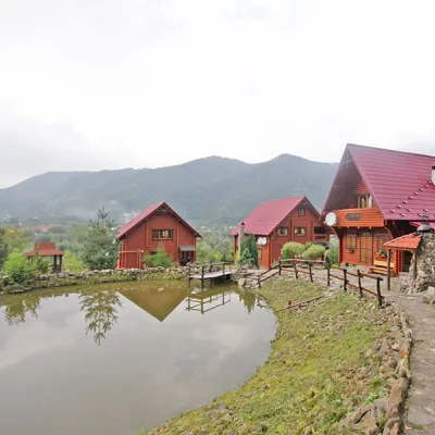 HomesteadHomestead "Vorota Karpat" VyzhnytsiaVyzhnytsiaunder 1 km from the riverSaunaBBQKitchenNearby: Dovbush's cave 3.1 kmSykavka waterfall 3.6 km1 trail
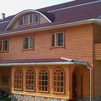 HomesteadGuest House "Hirska Kazka" PidzakharichiPidzakharychiunder 1 km from the riverSaunaBBQKitchenNearby: Dovbush's cave 1.2 kmSykavka waterfall 1.5 km1 trail
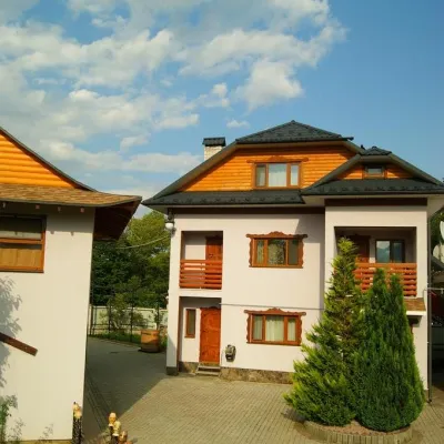 HomesteadСадиба "Лелека" ВижницяVyzhnytsiaunder 1 km from the riverSaunaSPABBQNearby: Dovbush's cave 3.9 kmMikva waterfall 4.5 km1 trail
 CottageКотедж "Анастасія" ВижницяVyzhnytsiaunder 1 km from the riverPoolSaunaBBQNearby: Town Hall 2.2 kmDovbush's cave 4.1 km1 trail
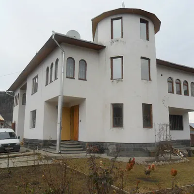 HomesteadСадиба "Душа Карпат" ВижницяVyzhnytsiaunder 1 km from the riverPoolSaunaKitchenNearby: Dovbush's cave 3.5 kmSykavka waterfall 4.3 km1 trail
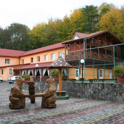 HotelSports and Wellness Complex "Bohatyr" MykulychynVyzhnytsiaunder 1 km from the riverSaunaBBQParkingNearby: Town Hall 1.4 kmSt. Nicholas Church 1.4 km
Trails nearby
All trails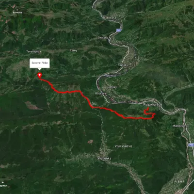 HardTwo-dayMarkedNimchych Pass Protiate KaminniaElevation profile473–820 m20.9 kmascent 1 063 m≈ 7.5 h walking6 km from Cheremosh River
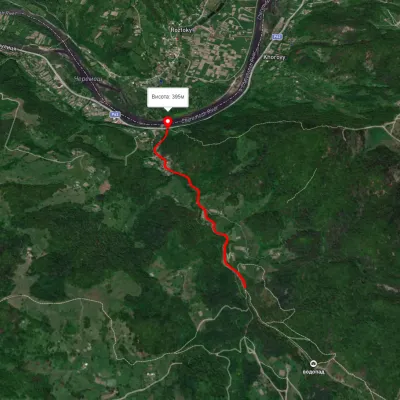 EasyOne-dayMarkedSmuharski WaterfallsElevation profile395–483 m4 kmascent 106 m≈ 1 h walking9.6 km from Cheremosh River
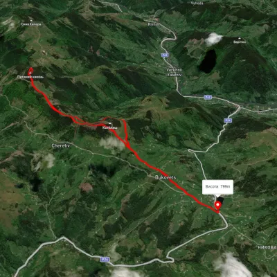 ModerateTwo-dayUnmarkedBukovets village loopvia Pysanyi KaminElevation profile845–1 261 m12.4 kmascent 823 m≈ 4.5 h walking17 km from Cheremosh River
Nearby attractions
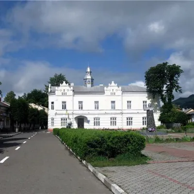 ArchitectureTown Hall, VyzhnytsiaVyzhnytsiaunder 1 km from Cheremosh RiverThe picturesque town of Vyzhnytsia has such a set of attractions that even small towns in Europe can envy it, as it has a complicated history, starting with the...
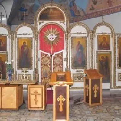 ChurchChurch of St. Demetrius, VyzhnytsiaVyzhnytsiaunder 1 km from Cheremosh RiverDmytro of Thessalonica in Vyzhnytsia in the Chernivtsi Oblast is a wooden church located on the western outskirts of the city.
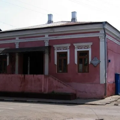 MuseumMuseum of Applied Arts, VyzhnytsiaVyzhnytsia1.4 km from Cheremosh RiverIn the small town of Vyzhnytsia, there is a Museum of Applied Arts, which exhibits the best diploma and course work of students of the local College of Arts.