Zelene – Mount Skupova
Trail map
Where to stay nearby
About the trail
Route Zelene – Mount Skupova. Has blue marking (most notable or interesting routes). Along the route you will see: Mount Skupova, Polonyna Skupova, Hungarian stones (Hungarian rocks), Green.
At a glance
A short route of 8.2 km with 302 m of ascent and 1,081 m of descent from Mount Skupova to Zelene. Estimated walking time: about 2.5 h, not counting stops. Difficulty: easy. Waymarking: blue.
Route stages
- 0–2 kmDescent of 180 m (down to 1,373 m)
- 2–3 kmGentle ups and downs at 1,370–1,400 m
- 3–3.5 kmDescent of 150 m to Hut “Hungarian Rocks”
- 3.5–5 kmGentle ups and downs at 1,210–1,270 m
- 5–8 kmDescent of 430 m to Zelene
Steepest kilometre: km 0.5–1.5, a descent of 200 m (≈20%).
Water and overnight stays
Springs near the trail: at km 1.5, 3.5, 4.5 and 7.
Huts and shelters near the trail: Hut “Hungarian Rocks” (km 3.5).
When to go
Best time: May to October. In winter deep snow is possible, so experience and winter gear are needed.
Getting there
Start: Mount Skupova. This is a one-way route: the finish is 6 km from the start in a straight line, so plan your way back in advance.
FAQ
- How long does the route take?
- Estimated walking time: about 2.5 h, not counting stops.
- Is there water on the route?
- Springs near the trail: at km 1.5, 3.5, 4.5 and 7.
- Where can I stay overnight?
- Huts and shelters near the trail: Hut “Hungarian Rocks” (km 3.5).
Water and shelter on the route
- Spring below Mount Skupova (10)km 1.5 from the start · 70 m off the path · Not verified · 1 409 m
- Spring below Mount Skupova (9)km 1.9 from the start · Not verified · 1 377 m
- Spring below Mount Skupova (3)km 3.2 from the start · 180 m off the path · Not verified · 1 274 m
- Hut “Hungarian Rocks”km 3.5 from the start · Locked · 1 250 m
- Spring below Mount Skupovakm 4.1 from the start · 160 m off the path · Not verified · 1 184 m
- Spring (Zelene, 2)km 4.7 from the start · 170 m off the path · Not verified · 1 200 m
- Spring (Zelene)km 5.4 from the start · Not verified · 1 175 m
- Drinking water (Zelene)km 7 from the start · Not verified · 929 m
Comments
What to see on the trail
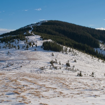 Mount Skupovaaltitude 1 579 mMount Skupova is the peak of the Ukrainian Carpathians, which is located in the Hryniava mountain range.
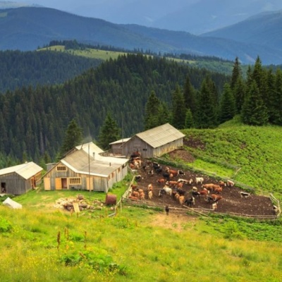 Polonyna Skupovaaltitude 950 mSkupova meadow - Verkhovyna district, Ivano-Frankivsk region. The owner of the meadow: Ivan Nedokhodyuk. ...
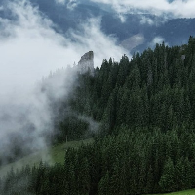 Hungarian stones (Hungarian rocks), Greenaltitude 785 mThe Hungarian Rocks or Hungarian Stones are an array of four huge vertical rocks in the middle of the forest, which rise above the spruce forest.
Trails nearby
All trails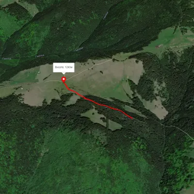 EasyOne-dayMarkedHungarian RocksElevation profile1 117–1 253 m0.6 kmascent 153 m≈ 30 min walking
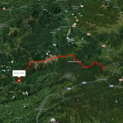 HardMulti-dayUnmarkedVoronenko village to Zelene villagevia Mount Kukul, Mount Hoverla +1Elevation profile768–2 019 m46.9 kmascent 3 476 m
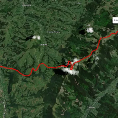 HardTwo-dayUnmarkedVerkhovyna Krynta-Skupova ridgeElevation profile588–1 429 m18.7 kmascent 1 174 m≈ 7 h walking