Mount Regeska
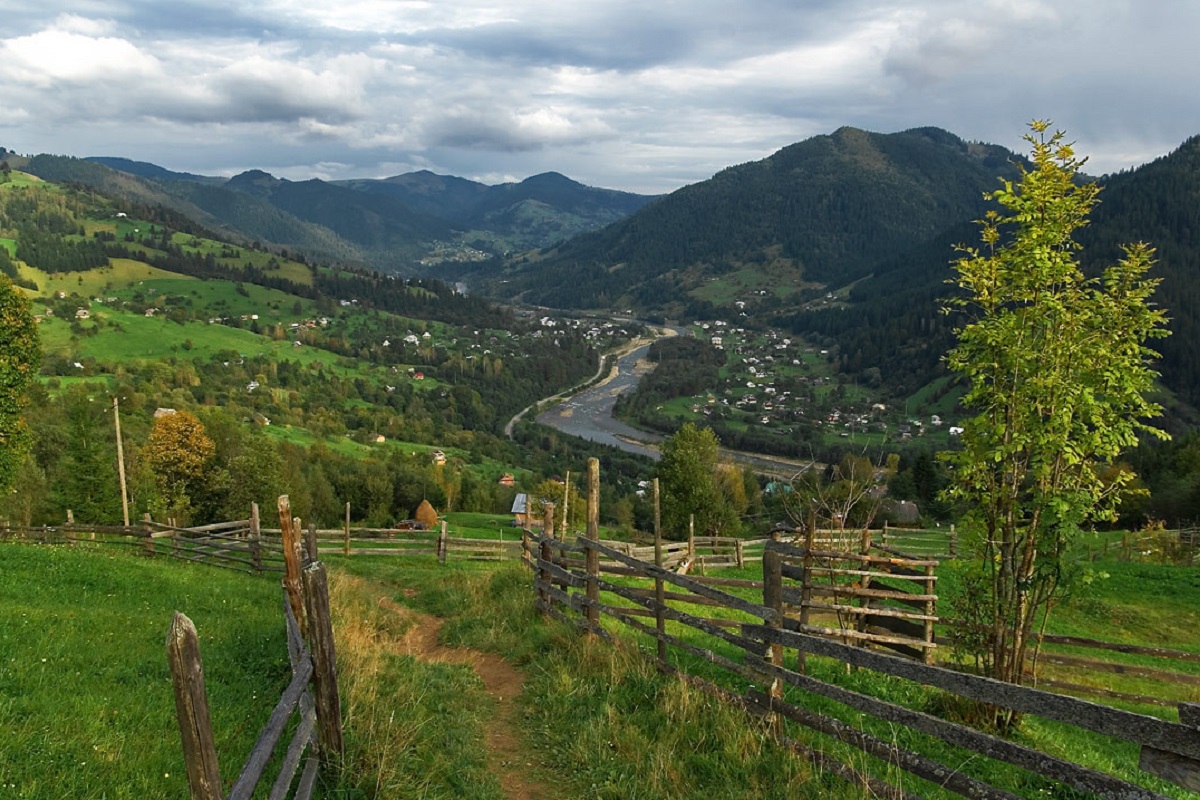
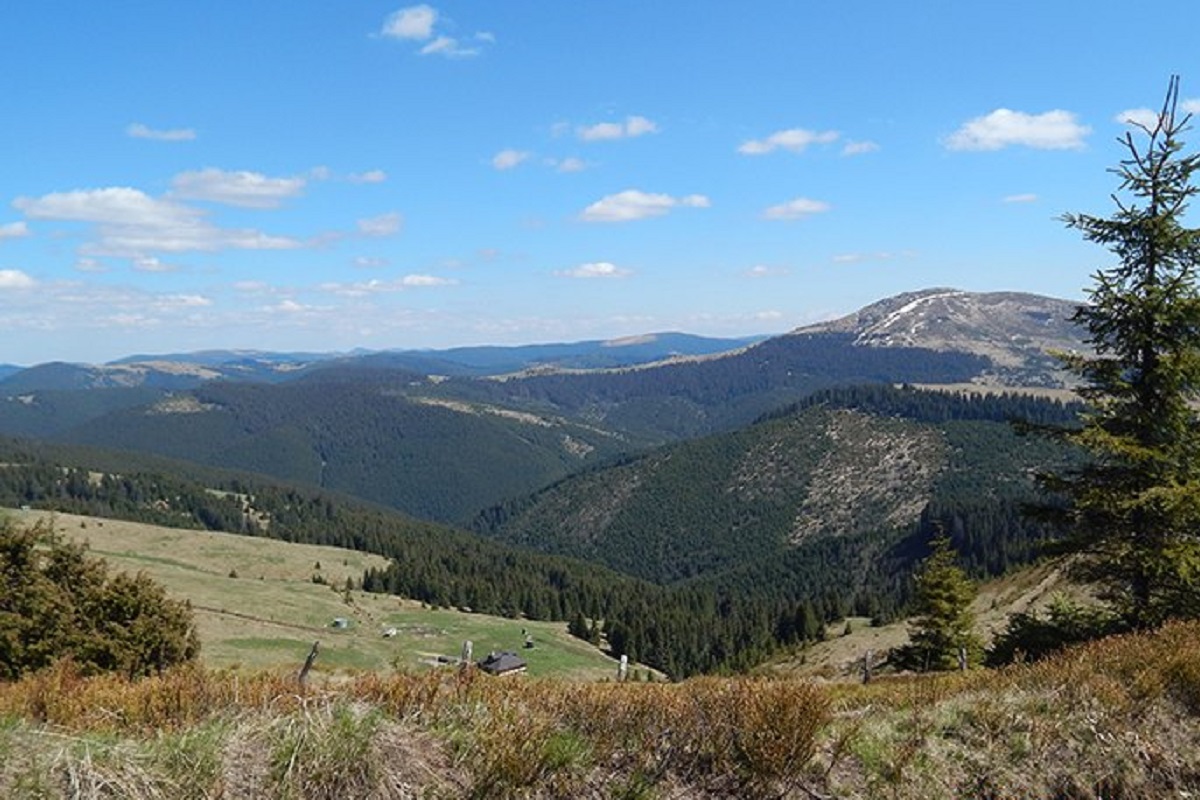
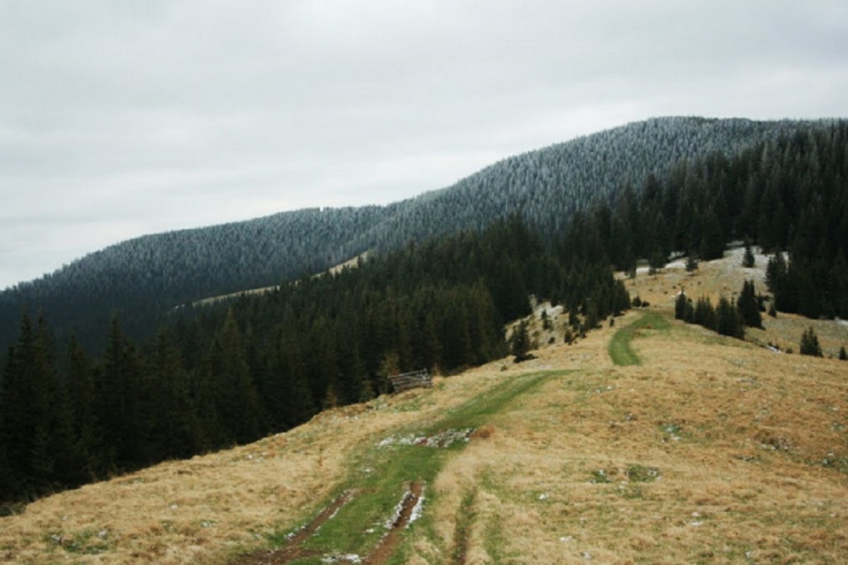
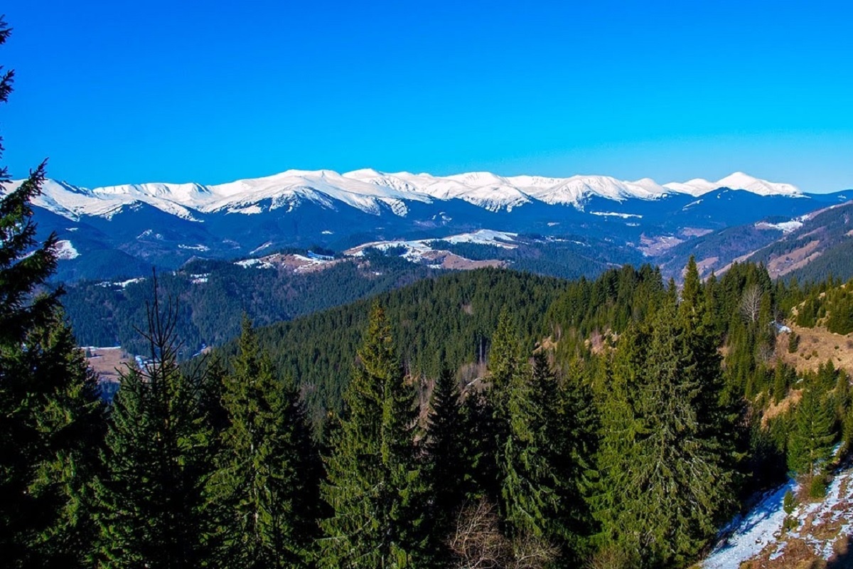
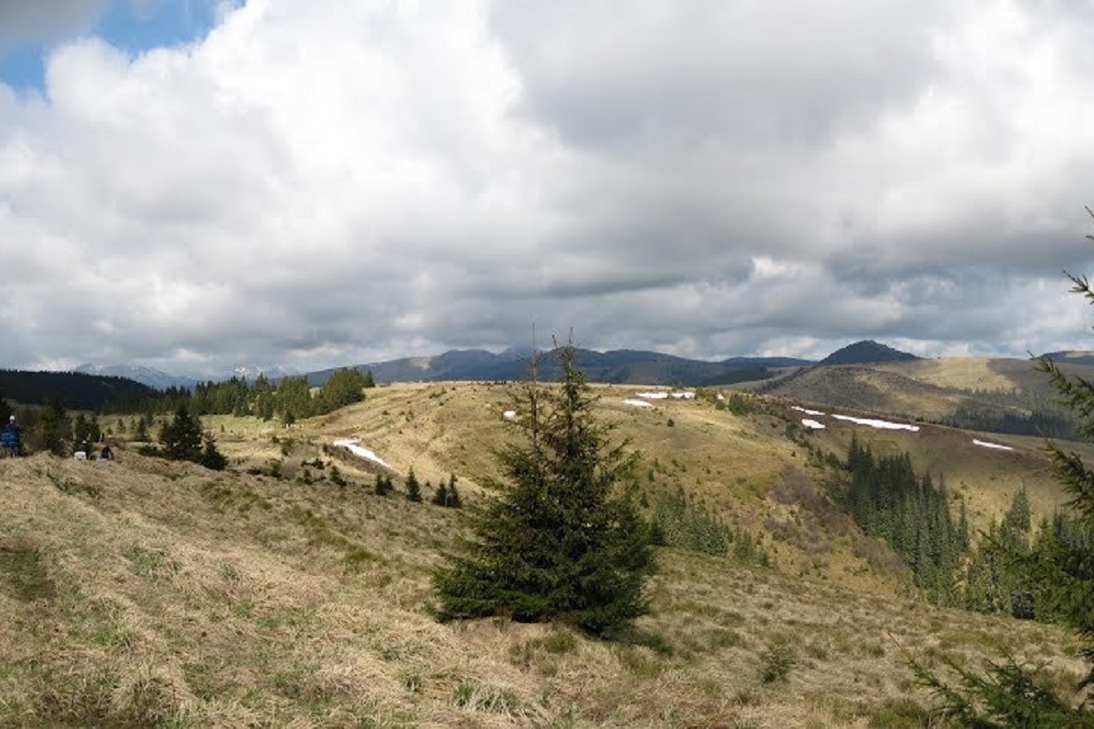
Regeska is a 1569-meter (according to other sources, 1584-meter) peak in the Ukrainian Carpathians, which is located in the Marmarosh mountain range - the Chyvchyn Mountains (northwestern part of the main ridge).
The mountain is located in the Verkhovyna district of Ivano-Frankivsk region, southwest of the village of Zelene.
The peak of Mount Regeska is unforested, the slopes are quite steep and difficult to access (especially in the east and west directions); the northeastern slopes smoothly turn into a bridge leading to Mount Velyka Regeska, which is about 1502 meters high.
To the north of Regeska is Mount Stig, and to the southeast is Mount Kopylash.
The state border between Ukraine and Romania passes through the top of the mountain from northwest to south.
The nearest settlement is the village of Zelene (Verkhovyna district, Ivano-Frankivsk region).
Location on the map
Water and shelter nearby
- Hut on Polonyna Rehieska Velyka780 m · Not verified · 1 514 m
- Spring below Mount Stih (21)1.7 km · Not verified · 1 486 m
- Spring below Mount Stih (20)1.8 km · Not verified · 1 485 m
- Spring below Mount Stih (19)1.8 km · Weak flow · 1 497 m
- Stream water below Mount Stih1.9 km · Not verified · 1 495 m
- Border guards' hut below Mount Kopylash2.1 km · Not verified · 1 501 m
- Hut on Polonyna Bercheska2.2 km · Not verified · 1 496 m
- Shepherds' hut on Polonyna Radul2.2 km · Standing · 1 490 m
- Spring on Polonyna Radul2.4 km · Not verified · 1 470 m
- Bila Tysa headwaters spring (3)2.6 km · Not verified · 1 343 m
- Bila Tysa headwaters spring (2)2.9 km · Not verified · 1 421 m
Comments
Trails via Mount Regeska
All 2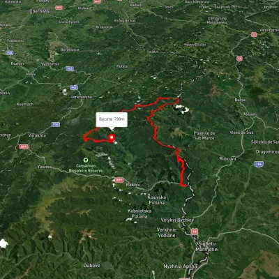

Nearby attractions
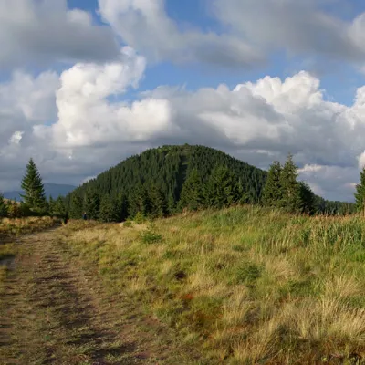 PeakMount StihLuhyaltitude 1 653 m · Marmarosh range1.6 km from Mount Regeska31 trails to the topMount Stih is the peak of the Ukrainian Carpathians of the incredibly beautiful Marmarosh mountain range, which lies on the border of the Chyvchyn Mountains and the...
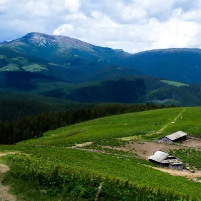 Mountain meadowPolonyna RadulYavirnyk (Shybene)altitude 1 828 m · Marmarosh range2.3 km from Mount RegeskaThe Radul meadow is located within the Marmarosh Massif. It is located almost at the border with Romania.Shepherds keep sheep and cows in themeadow.
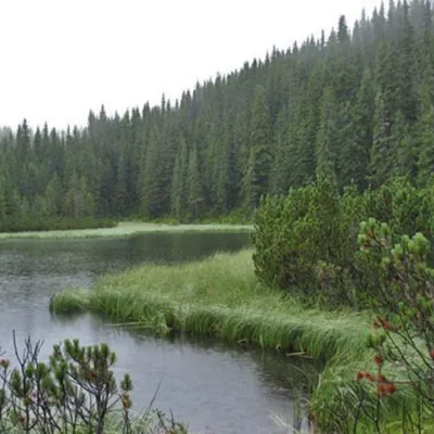 LakeLake MaricheykaYavirnyk (Shybene)9.6 km from Mount RegeskaLake Maricheyka is one of the most picturesque high-altitude glacial lakes in the Carpathians, located on the northeastern slope of Mount Shuryn, in the Chornohora...